Park Plantation
Wood, Forest in Cheshire
England
Park Plantation
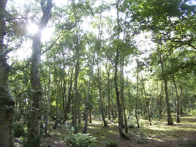
Park Plantation is a picturesque woodland located in Cheshire, England. Covering an area of approximately 100 acres, it is renowned for its stunning natural beauty and diverse range of plant species. The plantation is situated within the larger Park estate and is a popular destination for nature enthusiasts, hikers, and families alike.
The woodland is predominantly composed of deciduous trees, including oak, beech, and birch, which create a vibrant canopy during the summer months. These trees provide a habitat for a variety of wildlife, from birds and small mammals to insects and amphibians.
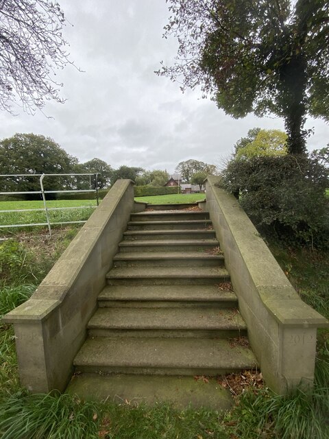
Park Plantation features well-maintained walking trails that wind through the woodland, allowing visitors to explore its hidden gems and enjoy the tranquility of nature. The paths are suitable for all ages and fitness levels, with some areas offering wheelchair accessibility.
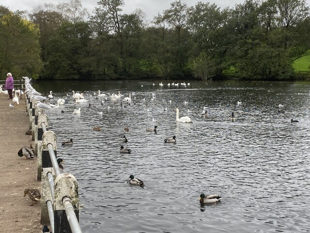
Birdwatchers flock to the plantation to catch glimpses of rare and migratory species, such as the red kite and nightjar, which can often be spotted perched on tree branches or soaring above the treetops. The woodland is also home to an array of wildflowers, including bluebells, primroses, and orchids, which create a vibrant tapestry of colors during the spring and summer seasons.
Park Plantation offers a peaceful retreat from the hustle and bustle of everyday life, allowing visitors to reconnect with nature and enjoy the beauty of Cheshire's countryside. Whether it's a leisurely stroll, a family picnic, or a birdwatching adventure, the woodland provides an idyllic setting for all outdoor enthusiasts.
If you have any feedback on the listing, please let us know in the comments section below.
Park Plantation Images
Images are sourced within 2km of 53.255089/-2.2400522 or Grid Reference SJ8473. Thanks to Geograph Open Source API. All images are credited.


Park Plantation is located at Grid Ref: SJ8473 (Lat: 53.255089, Lng: -2.2400522)
Unitary Authority: Cheshire East
Police Authority: Cheshire
What 3 Words
///paper.cotton.goodbyes. Near Siddington, Cheshire
Nearby Locations
Related Wikis

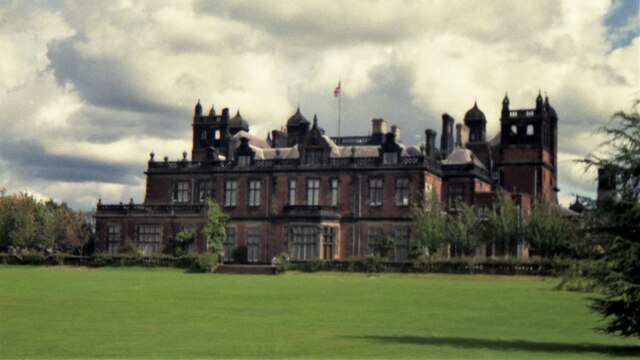
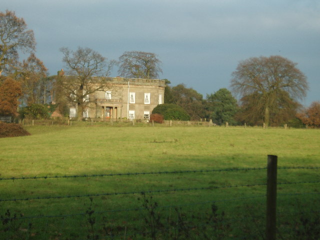
Capesthorne Hall
Capesthorne Hall is a country house near the village of Siddington, Cheshire, England. The house and its private chapel were built in the early 18th century...

Holy Trinity Chapel, Capesthorne
Holy Trinity Chapel is a private chapel adjacent to Capesthorne Hall, near the village of Siddington, Cheshire, England. It is recorded in the National...

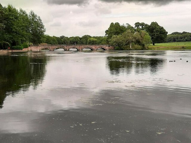
Siddington, Cheshire
Siddington is a civil parish in Cheshire, England. It consists of farms; a picnic site; Redesmere, a half-mile long lake; and the Capesthorne Estate. The...
Birtles Hall
Birtles Hall is a country house in the parish of Over Alderley, Cheshire, England. It was built in about 1819 for the West Indies merchant Robert Hibbert...
Nearby Amenities
Located within 500m of 53.255089,-2.2400522Have you been to Park Plantation?
Leave your review of Park Plantation below (or comments, questions and feedback).