Dogkennel Wood
Wood, Forest in Cheshire
England
Dogkennel Wood
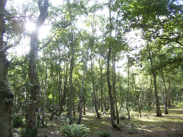
Dogkennel Wood is a charming woodland located in the county of Cheshire, England. Covering an area of approximately 50 acres, this tranquil forest is a haven for nature enthusiasts and dog walkers alike.
Situated near the village of Dogkennel, the wood is easily accessible and offers ample parking facilities. As visitors enter the wood, they are greeted by a well-maintained pathway that meanders through the trees, creating a peaceful and picturesque setting. The wood is predominantly composed of broadleaf trees such as oak, beech, and ash, which provide a stunning display of colors throughout the changing seasons.
The diverse range of wildlife that can be found within Dogkennel Wood is truly remarkable. Birdwatchers will delight in the presence of various species, including woodpeckers, nuthatches, and tawny owls. Additionally, the wood is home to a thriving population of squirrels, rabbits, and the occasional deer, making it a haven for wildlife enthusiasts and photographers.
For those seeking a leisurely stroll or a vigorous hike, Dogkennel Wood offers a network of well-marked trails, catering to all levels of fitness. The wood also boasts several picnic areas, providing the perfect opportunity to relax and enjoy a packed lunch amidst the natural beauty.
Dogkennel Wood offers a serene escape from the hustle and bustle of everyday life, providing visitors with a chance to reconnect with nature. Whether it's a leisurely walk, birdwatching, or simply enjoying the peaceful ambiance, this woodland is truly a gem in the heart of Cheshire.
If you have any feedback on the listing, please let us know in the comments section below.
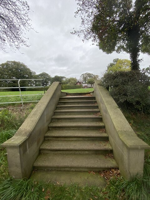
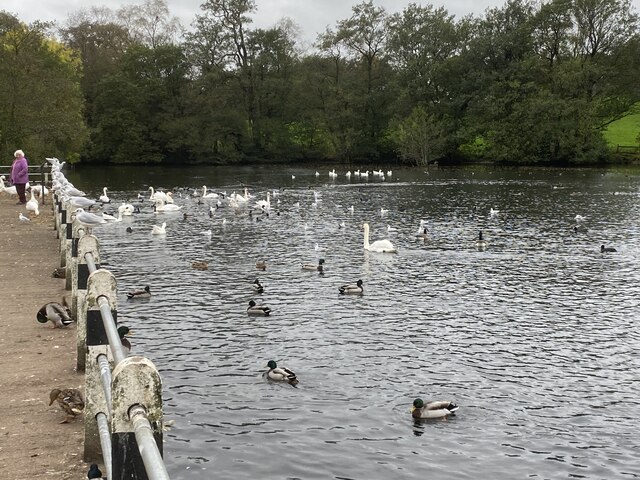
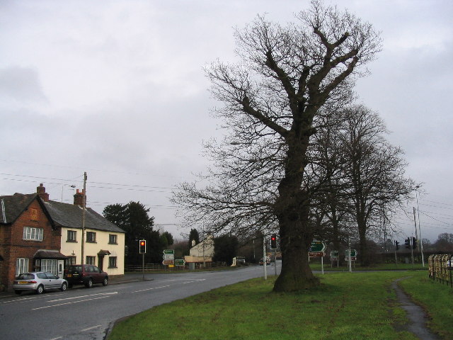
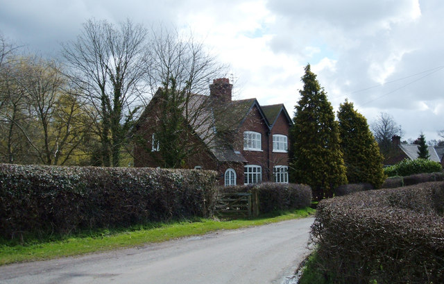
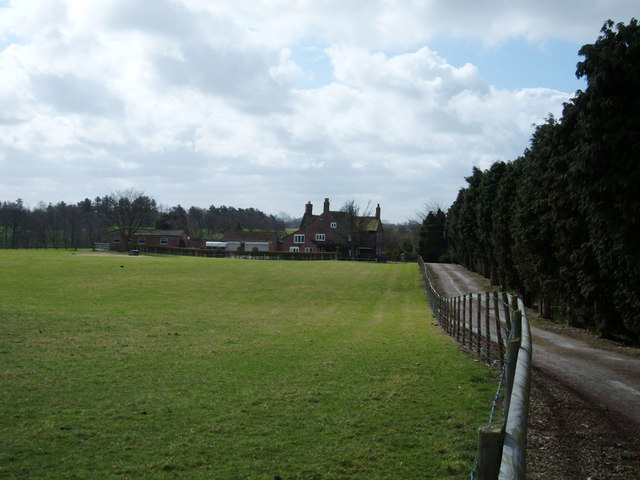
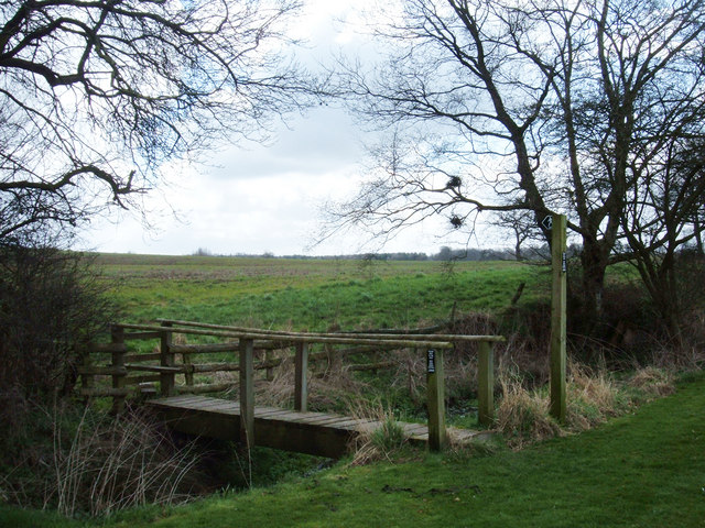
Dogkennel Wood Images
Images are sourced within 2km of 53.255096/-2.2409216 or Grid Reference SJ8473. Thanks to Geograph Open Source API. All images are credited.


Dogkennel Wood is located at Grid Ref: SJ8473 (Lat: 53.255096, Lng: -2.2409216)
Unitary Authority: Cheshire East
Police Authority: Cheshire
What 3 Words
///cashiers.racked.hesitate. Near Siddington, Cheshire
Nearby Locations
Related Wikis

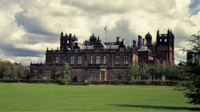
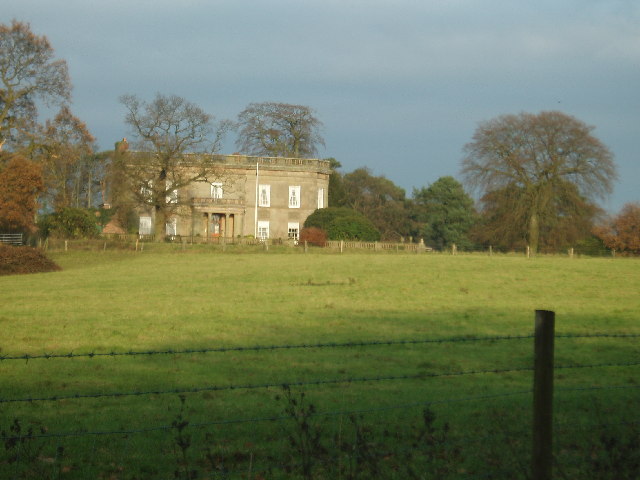
Capesthorne Hall
Capesthorne Hall is a country house near the village of Siddington, Cheshire, England. The house and its private chapel were built in the early 18th century...

Holy Trinity Chapel, Capesthorne
Holy Trinity Chapel is a private chapel adjacent to Capesthorne Hall, near the village of Siddington, Cheshire, England. It is recorded in the National...
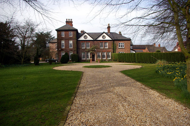
Chelford Manor House
Chelford Manor House stands to the southeast of the village of Chelford, Cheshire, England. It dates from the early 17th century. An extension was made...

Siddington, Cheshire
Siddington is a civil parish in Cheshire, England. It consists of farms; a picnic site; Redesmere, a half-mile long lake; and the Capesthorne Estate. The...

St John the Evangelist's Church, Chelford
St John the Evangelist's Church lies to the southeast of the village of Chelford, Cheshire, England. The church is recorded in the National Heritage List...
Birtles Hall
Birtles Hall is a country house in the parish of Over Alderley, Cheshire, England. It was built in about 1819 for the West Indies merchant Robert Hibbert...

All Saints Church, Siddington
All Saints Church is in the village of Siddington, Cheshire, England. The church is recorded in the National Heritage List for England as a designated...
Heawood Hall
Heawood Hall is a country house, now divided into three houses, southwest of the village of Nether Alderley, Cheshire, England. It originated in the late...
Nearby Amenities
Located within 500m of 53.255096,-2.2409216Have you been to Dogkennel Wood?
Leave your review of Dogkennel Wood below (or comments, questions and feedback).