Bath Wood
Wood, Forest in Cheshire
England
Bath Wood

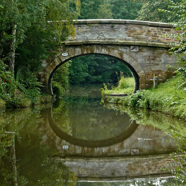
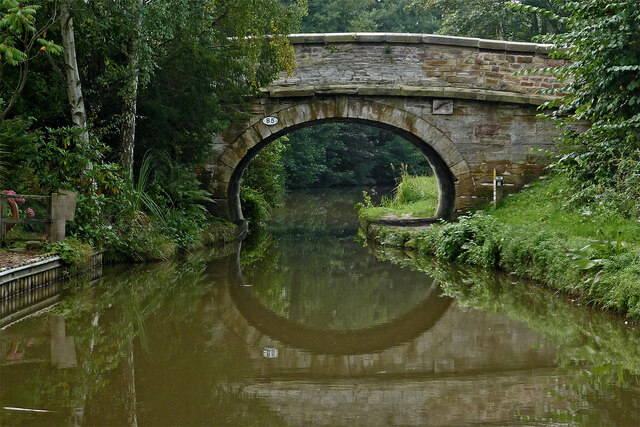
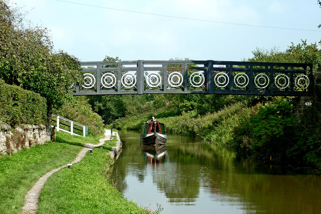
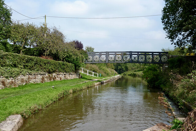
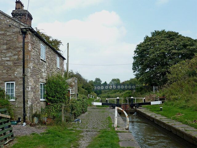
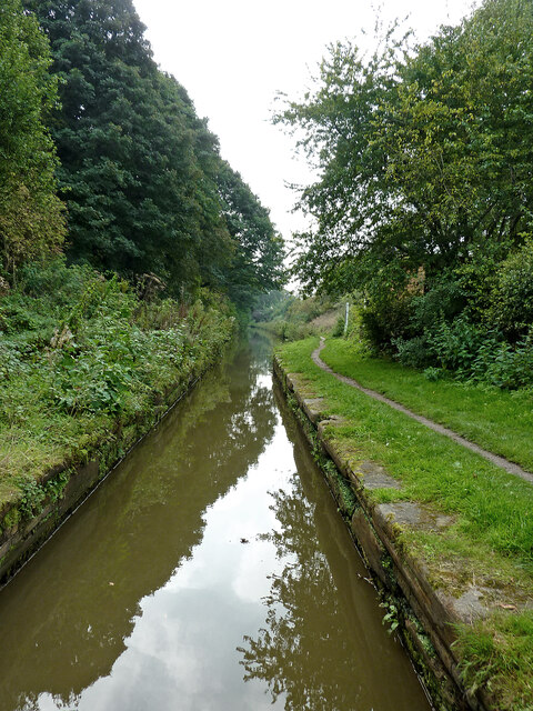
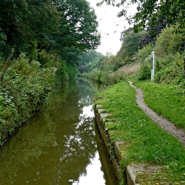
Bath Wood is a picturesque woodland located in the county of Cheshire, England. Covering an area of approximately 50 acres, this enchanting forest is nestled amidst the rolling countryside, offering visitors a tranquil escape from the hustle and bustle of everyday life.
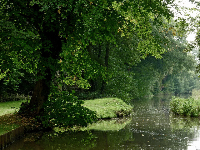
The wood is primarily composed of native broadleaf trees, including oak, birch, and beech, which create a rich and diverse habitat for a wide range of flora and fauna. The dense canopy provides a haven for many bird species, such as woodpeckers, owls, and various songbirds, making it a popular spot for birdwatching enthusiasts.
Visitors to Bath Wood can enjoy a network of well-maintained footpaths that meander through the forest, allowing for leisurely strolls and peaceful exploration. The pathways are lined with vibrant wildflowers during the spring and summer months, adding bursts of color to the already scenic surroundings.
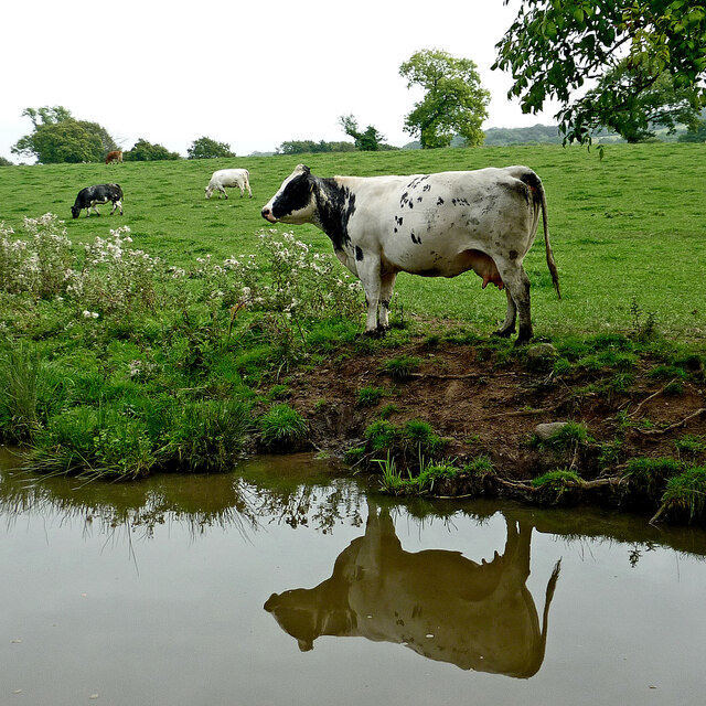
Nature enthusiasts will also appreciate the diverse wildlife that calls Bath Wood home. Squirrels scurry amongst the branches, while rabbits and deer can occasionally be spotted grazing in the clearings. The forest floor is carpeted with a variety of mosses, ferns, and fungi, creating a magical atmosphere.
Bath Wood is a popular destination for families, hikers, and nature lovers alike. Its peaceful ambiance and natural beauty make it an ideal location for picnics, photography, and simply immersing oneself in the serenity of nature. Whether exploring the woodland trails or simply enjoying the sights and sounds, Bath Wood offers a charming retreat for visitors seeking solace in the heart of Cheshire's countryside.
If you have any feedback on the listing, please let us know in the comments section below.
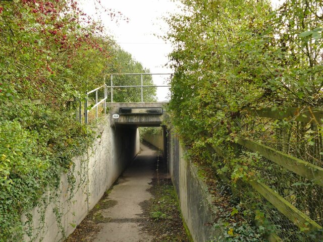
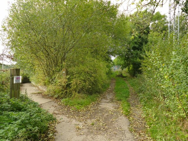
Bath Wood Images
Images are sourced within 2km of 53.118405/-2.2393789 or Grid Reference SJ8457. Thanks to Geograph Open Source API. All images are credited.


Bath Wood is located at Grid Ref: SJ8457 (Lat: 53.118405, Lng: -2.2393789)
Unitary Authority: Cheshire East
Police Authority: Cheshire
What 3 Words
///laptop.lifts.twice. Near Kidsgrove, Staffordshire
Nearby Locations
Related Wikis
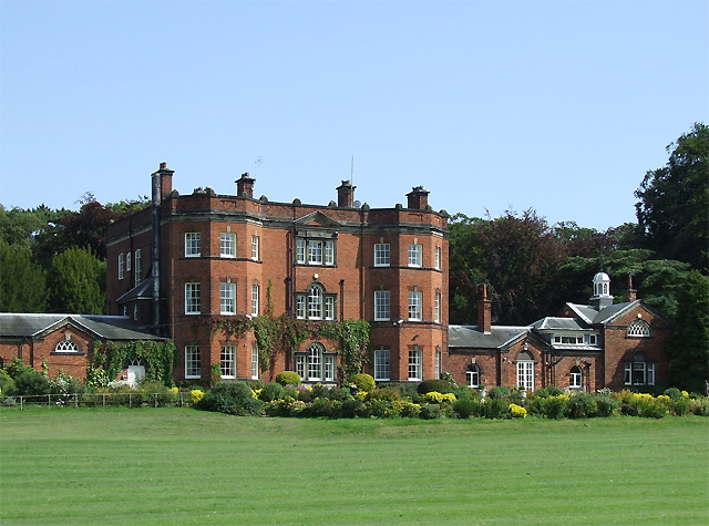
Ramsdell Hall
Ramsdell Hall is a country house in the parish of Odd Rode in Cheshire, England, overlooking the Macclesfield Canal. It was built in two phases during...

Mow Cop and Scholar Green railway station
Mow Cop and Scholar Green railway station was a station on the North Staffordshire Railway between Stoke-on-Trent and Congleton. It served the village...
Odd Rode
Odd Rode is a civil parish in the unitary authority of Cheshire East and the ceremonial county of Cheshire, England. It borders the Staffordshire parish...
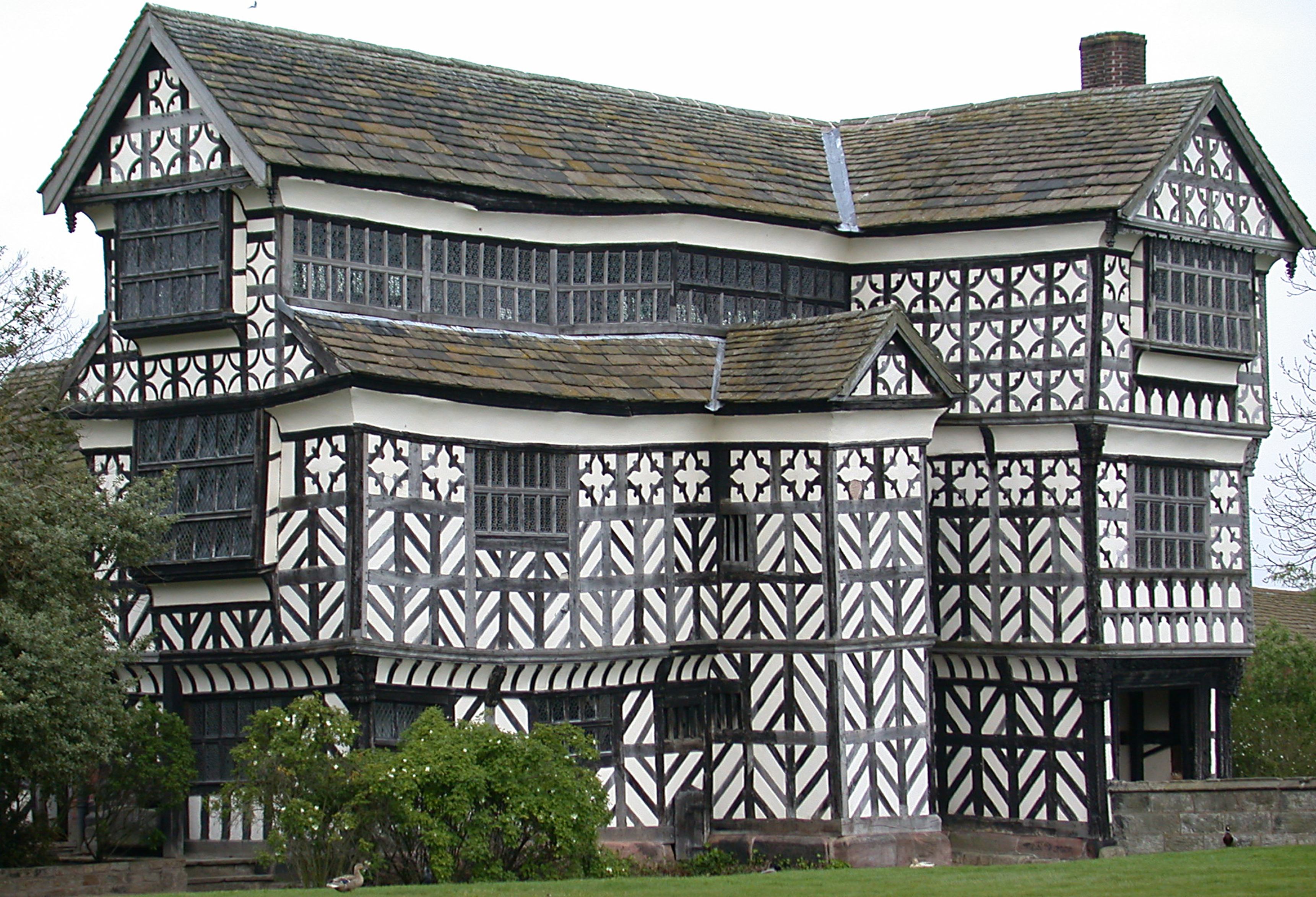
Little Moreton Hall
Little Moreton Hall, also known as Old Moreton Hall, is a moated half-timbered manor house 4.5 miles (7.2 km) south-west of Congleton in Cheshire, England...
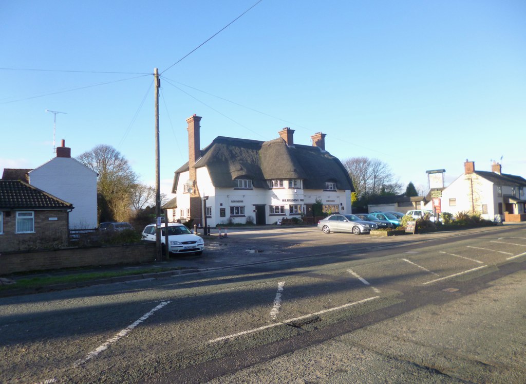
Scholar Green
Scholar Green () is a village in the civil parish of Odd Rode, in Cheshire, England. Encompassing the smaller settlements of Kent Green and The Bank, it...

Great Moreton Hall
Great Moreton Hall is a former country house in Moreton cum Alcumlow near Congleton, in Cheshire, England, less than a mile (1.6 km) from its better-known...

Mow Cop
Mow Cop is a village split between Cheshire and Staffordshire, and therefore divided between the North West and West Midlands regions of England. It is...
Moreton cum Alcumlow
Moreton cum Alcumlow is a small civil parish in the unitary authority of Cheshire East and the ceremonial county of Cheshire, England. In the census of...
Nearby Amenities
Located within 500m of 53.118405,-2.2393789Have you been to Bath Wood?
Leave your review of Bath Wood below (or comments, questions and feedback).