Evan's Belt

Wood, Forest in Gloucestershire Stroud

England

Evan's Belt

Stone Stile, Horsley Opposite the T junction looking SE in Upper Barton End on Gloucestershire footpath MHO38. The view looking to the road is <a href="https://www.geograph.org.uk/photo/7072035">ST8497 : Stone Stile, Horsley</a>.
Stone Stile, Horsley Credit: Mr Red

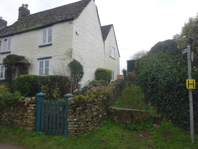
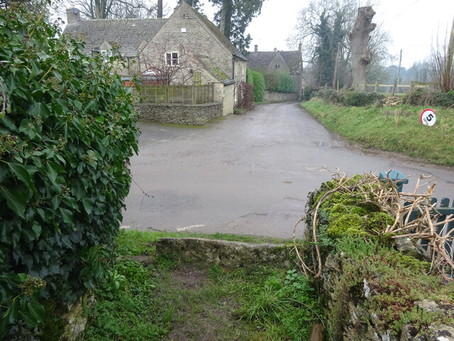
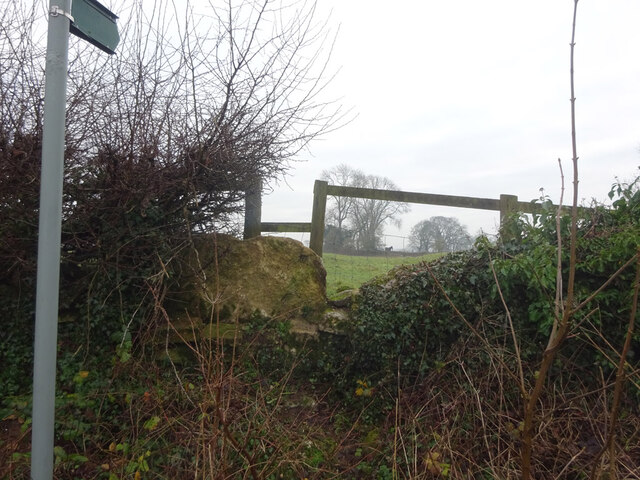
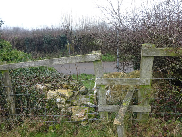
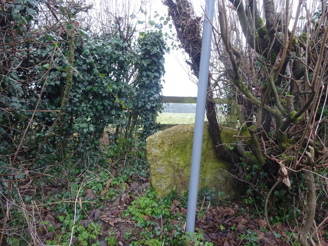
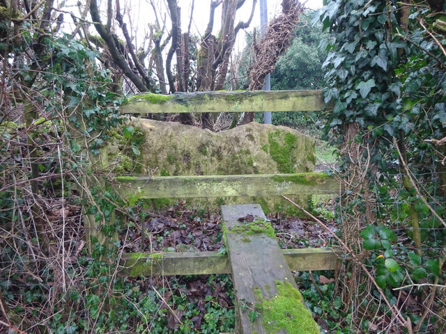
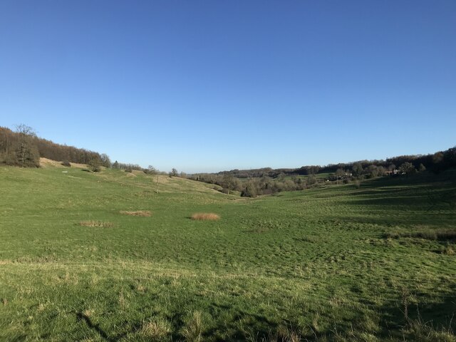
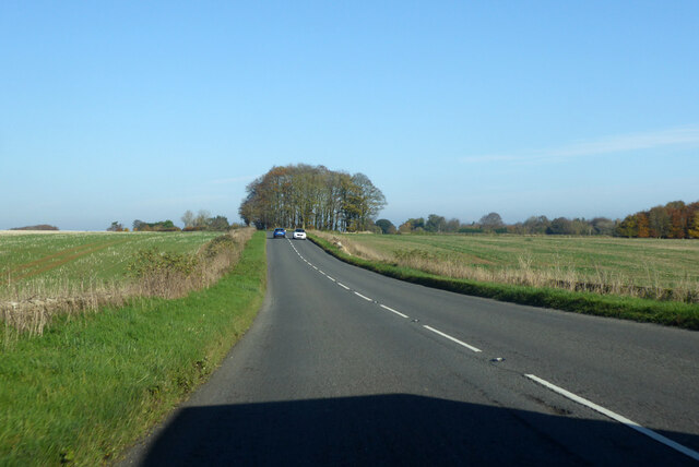
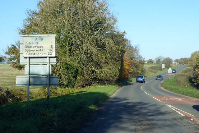
Evan's Belt, located in Gloucestershire, is a picturesque woodland area renowned for its natural beauty and serene atmosphere. The forest is situated within the larger Forest of Dean, a region known for its rich history and diverse flora and fauna. Covering an approximate area of 2 square kilometers, Evan's Belt is a small yet significant part of this vast forested landscape.

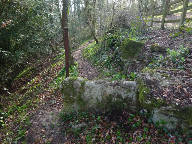
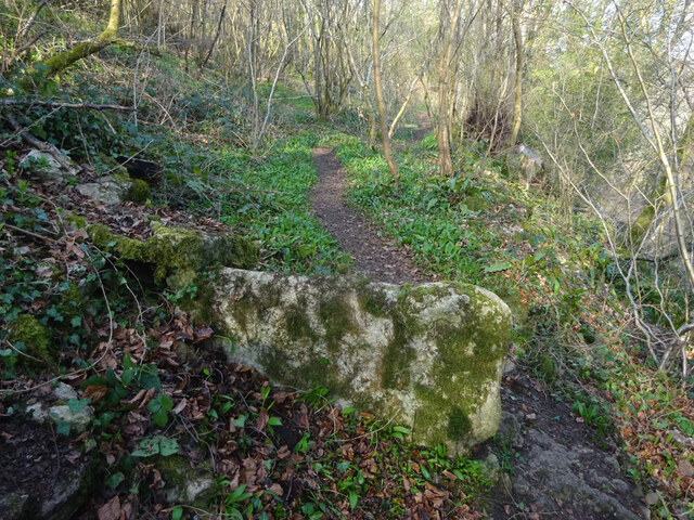
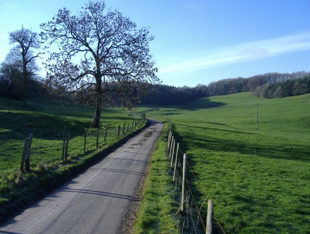
The woodland is primarily composed of broadleaf trees, including oak, beech, and ash, which create a striking canopy overhead. The forest floor is adorned with a carpet of wildflowers and ferns, offering a colorful spectacle during the spring and summer months. Evan's Belt is also home to a variety of wildlife, including deer, foxes, badgers, and a multitude of bird species, making it a popular destination for nature enthusiasts and birdwatchers.

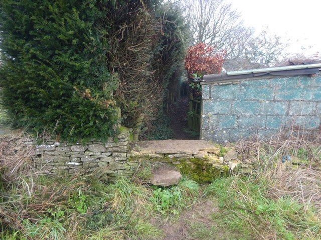
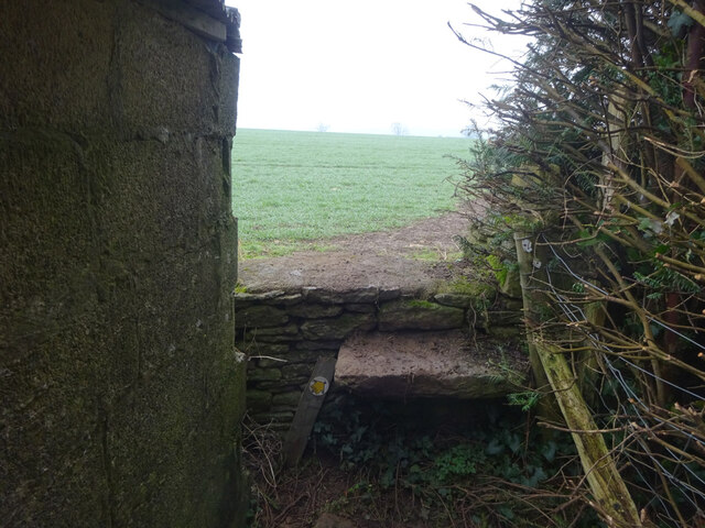
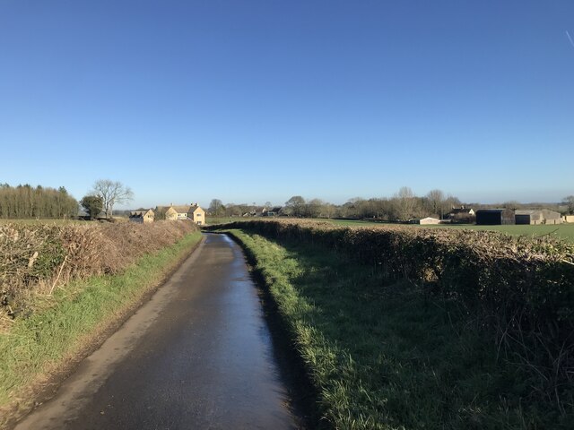
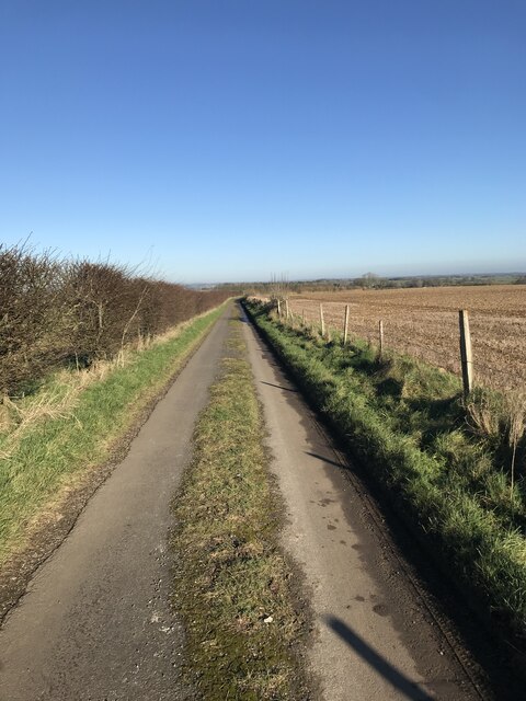
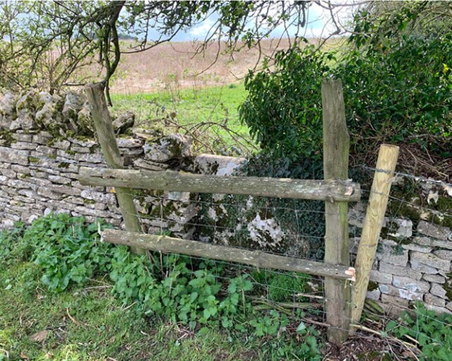
The forest provides numerous recreational opportunities for visitors, with a network of footpaths and trails meandering through the woods. These trails offer breathtaking views of the surrounding countryside and allow hikers and cyclists to explore the area at their own pace. Additionally, there are designated picnic areas and open spaces where visitors can relax and enjoy the tranquility of the forest.

Evan's Belt is managed by the Forestry Commission, ensuring the preservation and sustainability of this natural gem. The commission conducts regular maintenance and conservation efforts, such as tree planting and forest management, to protect the ecosystem and enhance the visitor experience.

Overall, Evan's Belt in Gloucestershire is a charming woodland retreat, offering a peaceful escape from the hustle and bustle of daily life. Its natural beauty, diverse wildlife, and recreational opportunities make it a must-visit destination for nature lovers and outdoor enthusiasts.

If you have any feedback on the listing, please let us know in the comments section below.

Evan's Belt Images

Images are sourced within 2km of 51.6623/-2.2316348 or Grid Reference ST8495. Thanks to Geograph Open Source API. All images are credited.

Stone Stile, Horsley Opposite the T junction looking SE in Upper Barton End on Gloucestershire footpath MHO38. The view looking to the road is <a href="https://www.geograph.org.uk/photo/7072035">ST8497 : Stone Stile, Horsley</a>.
Stone Stile, Horsley
Opposite the T junction looking SE in Upper Barton End on Gloucestershire footpath MHO38. The view looking to the road is ST8497 : Stone Stile, Horsley.
Stone Stile, Horsley Opposite the T junction looking SE in Upper Barton End on Gloucestershire footpath MHO38. The view looking to the road is <a href="https://www.geograph.org.uk/photo/7072034">ST8497 : Stone Stile, Horsley</a>.
Stone Stile, Horsley
Opposite the T junction looking SE in Upper Barton End on Gloucestershire footpath MHO38. The view looking to the road is ST8497 : Stone Stile, Horsley.
Stone Stile, Horsley Upper Barton End. A step stile, the steps are single slab of stone, probably the stone used in the original slab stile. The other view looking from Gloucestershire footpath MHO38 is <a href="https://www.geograph.org.uk/photo/7072052">ST8497 : Stone Stile, Horsley</a>.
Stone Stile, Horsley
Upper Barton End. A step stile, the steps are single slab of stone, probably the stone used in the original slab stile. The other view looking from Gloucestershire footpath MHO38 is ST8497 : Stone Stile, Horsley.
Stone Stile, Horsley Upper Barton End. A step stile, the steps are single slab of stone, probably the stone used in the original slab stile. The other view looking from Gloucestershire footpath MHO38 is <a href="https://www.geograph.org.uk/photo/7072051">ST8497 : Stone Stile, Horsley</a>.
Stone Stile, Horsley
Upper Barton End. A step stile, the steps are single slab of stone, probably the stone used in the original slab stile. The other view looking from Gloucestershire footpath MHO38 is ST8497 : Stone Stile, Horsley.
Stone Stile, Horsley Looking SE from an u/c lane on Gloucestershire footpath MHO39, SW of Upper Barton End. The view looking from the field is <a href="https://www.geograph.org.uk/photo/7072056">ST8497 : Stone Stile, Horsley</a>. This is opposite another stile see <a title="https://www.geograph.org.uk/photo/7072065" href="https://www.geograph.org.uk/photo/7072065">Link</a> & <a title="https://www.geograph.org.uk/photo/7072061" href="https://www.geograph.org.uk/photo/7072061">Link</a>
Stone Stile, Horsley
Looking SE from an u/c lane on Gloucestershire footpath MHO39, SW of Upper Barton End. The view looking from the field is ST8497 : Stone Stile, Horsley. This is opposite another stile see Link & Link
Stone Stile, Horsley Looking NW to an u/c lane on Gloucestershire footpath MHO39, SW of Upper Barton End. The view looking from the road is <a href="https://www.geograph.org.uk/photo/7072054">ST8497 : Stone Stile, Horsley</a>. This is opposite another stile see <a title="https://www.geograph.org.uk/photo/7072065" href="https://www.geograph.org.uk/photo/7072065">Link</a> & <a title="https://www.geograph.org.uk/photo/7072061" href="https://www.geograph.org.uk/photo/7072061">Link</a>
Stone Stile, Horsley
Looking NW to an u/c lane on Gloucestershire footpath MHO39, SW of Upper Barton End. The view looking from the road is ST8497 : Stone Stile, Horsley. This is opposite another stile see Link & Link
Stone Stile, Horsley Looking NW from an u/c lane on Gloucestershire footpath MHO44 (leading to the A46), SW of Upper Barton End. The view looking from the field is <a href="https://www.geograph.org.uk/photo/7072065">ST8497 : Stone Stile, Horsley</a>. This is opposite another stile see <a title="https://www.geograph.org.uk/photo/7072056" href="https://www.geograph.org.uk/photo/7072056">Link</a> & <a title="https://www.geograph.org.uk/photo/7072054" href="https://www.geograph.org.uk/photo/7072054">Link</a>
Stone Stile, Horsley
Looking NW from an u/c lane on Gloucestershire footpath MHO44 (leading to the A46), SW of Upper Barton End. The view looking from the field is ST8497 : Stone Stile, Horsley. This is opposite another stile see Link & Link
Stone Stile, Horsley Looking SE to an u/c lane on Gloucestershire footpath MHO44 (leading to the A46), SW of Upper Barton End. The view looking from the road is <a href="https://www.geograph.org.uk/photo/7072061">ST8497 : Stone Stile, Horsley</a>. This is opposite another stile see <a title="https://www.geograph.org.uk/photo/7072056" href="https://www.geograph.org.uk/photo/7072056">Link</a> & <a title="https://www.geograph.org.uk/photo/7072054" href="https://www.geograph.org.uk/photo/7072054">Link</a>
Stone Stile, Horsley
Looking SE to an u/c lane on Gloucestershire footpath MHO44 (leading to the A46), SW of Upper Barton End. The view looking from the road is ST8497 : Stone Stile, Horsley. This is opposite another stile see Link & Link
Valley at Kingscote
Valley at Kingscote
Hazlecote Lane
Hazlecote Lane
Grass in the lane
Grass in the lane
Stone Stile, Horsley Below Priory Road on Gloucestershire footpath MHO50 looking West. The view looking East is <a href="https://www.geograph.org.uk/photo/7127046">ST8397 : Stone Stile, Horsley</a>.
Stone Stile, Horsley
Below Priory Road on Gloucestershire footpath MHO50 looking West. The view looking East is ST8397 : Stone Stile, Horsley.
Stone Stile, Horsley Below Priory Road on Gloucestershire footpath MHO50 looking East. The view looking West is <a href="https://www.geograph.org.uk/photo/7127044">ST8397 : Stone Stile, Horsley</a>.
Stone Stile, Horsley
Below Priory Road on Gloucestershire footpath MHO50 looking East. The view looking West is ST8397 : Stone Stile, Horsley.
Stone Stile, Nailsworth Actually in the parish of Horsley, on Gloucestershire footpath MHO37, in the area of Lodgemore Bottom at the Northern apex of Cranmore Covert.
Stone Stile, Nailsworth
Actually in the parish of Horsley, on Gloucestershire footpath MHO37, in the area of Lodgemore Bottom at the Northern apex of Cranmore Covert.
Stone Stile, Kingscote In the perimeter wall of Gumstool Inn / Calcote Spa SE of the crossroads, A4135 to Tetbury. Not on a registered footpath and close to the boundary with Beverstone, looking out. 
The view from the road is <a href="https://www.geograph.org.uk/photo/7309080">ST8494 : Stone Stile, Kingscote</a>.
Stone Stile, Kingscote
In the perimeter wall of Gumstool Inn / Calcote Spa SE of the crossroads, A4135 to Tetbury. Not on a registered footpath and close to the boundary with Beverstone, looking out. The view from the road is ST8494 : Stone Stile, Kingscote.
Stone Stile, Kingscote In the perimeter wall of Gumstool Inn / Calcote Spa SE of the crossroads, A4135 to Tetbury. Not on a registered footpath and close to the boundary with Beverstone, looking in.
The view to the road is <a href="https://www.geograph.org.uk/photo/7309078">ST8494 : Stone Stile, Kingscote</a>.
Stone Stile, Kingscote
In the perimeter wall of Gumstool Inn / Calcote Spa SE of the crossroads, A4135 to Tetbury. Not on a registered footpath and close to the boundary with Beverstone, looking in. The view to the road is ST8494 : Stone Stile, Kingscote.
A46 heading north Towards Stroud.
A46 heading north
Towards Stroud.
A46 heading north A '4' seems to have come off the sign.
A46 heading north
A '4' seems to have come off the sign.
Show me another place!

Evan's Belt is located at Grid Ref: ST8495 (Lat: 51.6623, Lng: -2.2316348)

Administrative County: Gloucestershire

District: Stroud

Police Authority: Gloucestershire

What 3 Words

///cuddling.emptied.bowhead. Near Nailsworth, Gloucestershire

Nearby Locations

Evan's Belt

Related Wikis

Calcot Manor

Calcot Manor is a historic building in Calcot, three and a half miles west of Tetbury on A 4135 in Gloucestershire, England, near the junction of roads...

Kingscote and Horsley Woods

Kingscote and Horsley Woods (grid reference ST831971) is a 43.79-hectare (108.2-acre) biological Site of Special Scientific Interest in Gloucestershire...

RAF Babdown Farm

Royal Air Force Babdown Farm or more simply RAF Babdown Farm is a former Royal Air Force relief landing ground located 2.9 miles (4.7 km) west of Tetbury...

Barton End

Barton End is a village just south of Nailsworth, Gloucestershire, England.

Horsley Priory

Horsley Priory was a medieval, monastic house in Gloucestershire, England. Goda owned an estate at Horsley, in 1066. It was granted to Troarn Abbey by...

Horsley, Gloucestershire

Horsley is a village and civil parish about one and a half miles south-west of the small Cotswold market town of Nailsworth. The origins of the name Horsley...

Kingscote, Gloucestershire

Kingscote is a village and civil parish in the Cotswold district of Gloucestershire, England, set on the uplands near the south western edge of the Cotswold...

Kingscote Park, Gloucestershire

Kingscote Park (formerly Kingscote Cottage) is a Grade II listed house and country estate in Kingscote, near Tetbury, Gloucestershire, England. The original...

Nearby Amenities

Located within 500m of 51.6623,-2.2316348
The data included in this document is from www.openstreetmap.org. The data is made available under ODbL.

Have you been to Evan's Belt?

Leave your review of Evan's Belt below (or comments, questions and feedback).