Old Laund Wood
Wood, Forest in Lancashire Pendle
England
Old Laund Wood

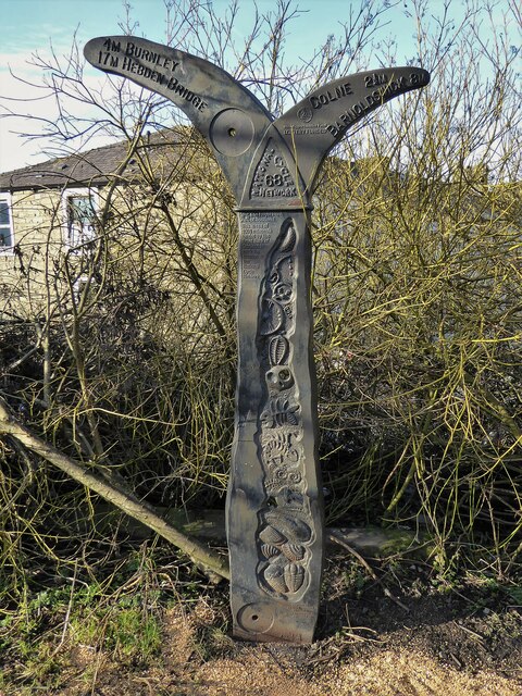
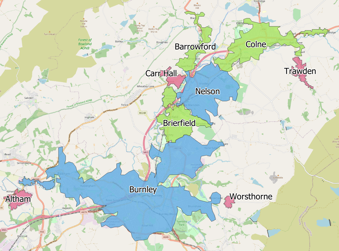
Old Laund Wood is a picturesque woodland located in Lancashire, England. Covering an area of approximately 100 acres, it is a well-preserved natural haven that attracts both locals and tourists alike. The woodland is situated near the village of Worsthorne, just a few miles north of Burnley.
This ancient forest is primarily composed of broadleaf trees, such as oak, beech, and birch, which create a stunning canopy that provides shelter and shade for a diverse range of flora and fauna. The forest floor is carpeted with a variety of wildflowers and ferns, adding to the enchanting atmosphere.
Old Laund Wood is crisscrossed by numerous winding footpaths and trails, making it a popular destination for nature enthusiasts, walkers, and dog owners. These paths lead visitors through the heart of the woodland, passing tranquil streams, small ponds, and moss-covered rocks, providing a peaceful and serene environment.
The woodland is also home to a rich array of wildlife. Visitors may spot squirrels, rabbits, and a variety of bird species, including blue tits, goldfinches, and woodpeckers. The diverse ecosystem of Old Laund Wood supports a wide range of insects, small mammals, and amphibians, making it a haven for nature lovers and wildlife enthusiasts.
Overall, Old Laund Wood offers a delightful escape from the hustle and bustle of everyday life. Its natural beauty, peaceful ambiance, and abundant wildlife make it a truly special place to explore and enjoy the wonders of the Lancashire countryside.
If you have any feedback on the listing, please let us know in the comments section below.
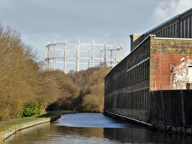
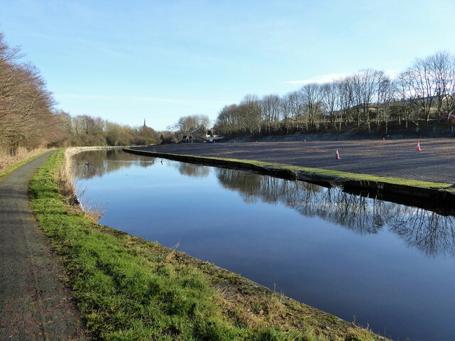
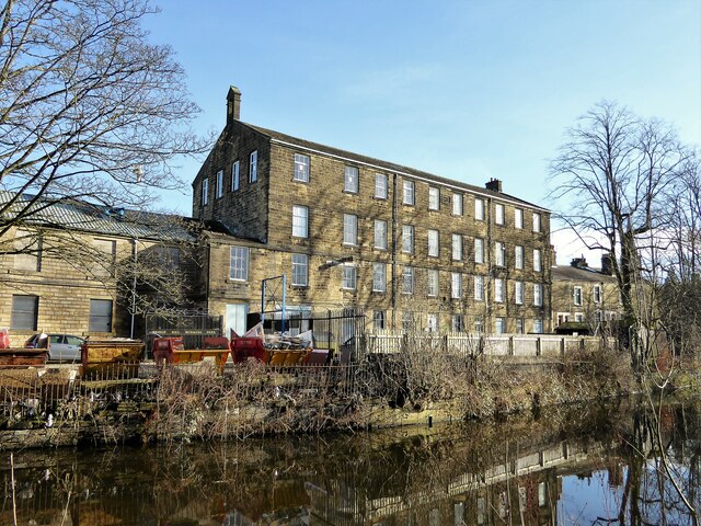
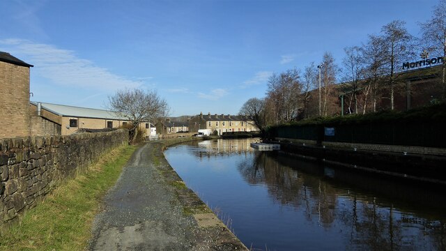
Old Laund Wood Images
Images are sourced within 2km of 53.831917/-2.2444964 or Grid Reference SD8437. Thanks to Geograph Open Source API. All images are credited.


Old Laund Wood is located at Grid Ref: SD8437 (Lat: 53.831917, Lng: -2.2444964)
Administrative County: Lancashire
District: Pendle
Police Authority: Lancashire
What 3 Words
///surely.events.obey. Near Brierfield, Lancashire
Nearby Locations
Related Wikis

Wheatley Lane, Lancashire
Wheatley Lane is a village in Pendle, Lancashire, England. It is close to Nelson, Barrowford and Burnley. It lies to the north of the A6068 road, known...

Brierfield railway station
Brierfield railway station serves the town of Brierfield, Lancashire, England and is on the East Lancashire Line 2+1⁄4 miles (3.6 km) east of Burnley Central...
Burnley built-up area
The Burnley built-up area is an urban area or conurbation which extends from the town of Burnley to Padiham, Brierfield, Nelson, Barrowford and Colne in...

Fence, Lancashire
Fence is a village in the civil parish of Old Laund Booth, Pendle, Lancashire, England, close to the towns of Nelson and Burnley. It lies alongside the...
Related Videos

Family Walk through Pendle Sculpture Trail - Lancashire
Pendle Sculpture Trail, Lancashire, UK We've had a great day walking in the sun to end the half term here in England! It's a great ...

Tour of Nelson/Nelson Lancashire Visit/travel in nelson#nelson#lancashire#uk#beauty#uk#unitedkingdom
This video is made by kaleem Ur Rehman during the visit to the beautiful town Nelson Lancashire #travel #nelson #lancashire ...


WHERE TO GET CARNET DE PASSAGE FROM PAKISTAN#travel #travelblog #carnet #customs #customclearance
WHERE TO GET CARNET DE PASSAGE FROM PAKISTAN? I HAVE TRIED COVRING ALL NECESSORY INFORMATION ...
Nearby Amenities
Located within 500m of 53.831917,-2.2444964Have you been to Old Laund Wood?
Leave your review of Old Laund Wood below (or comments, questions and feedback).