Hartley's Gorse
Wood, Forest in Staffordshire South Staffordshire
England
Hartley's Gorse

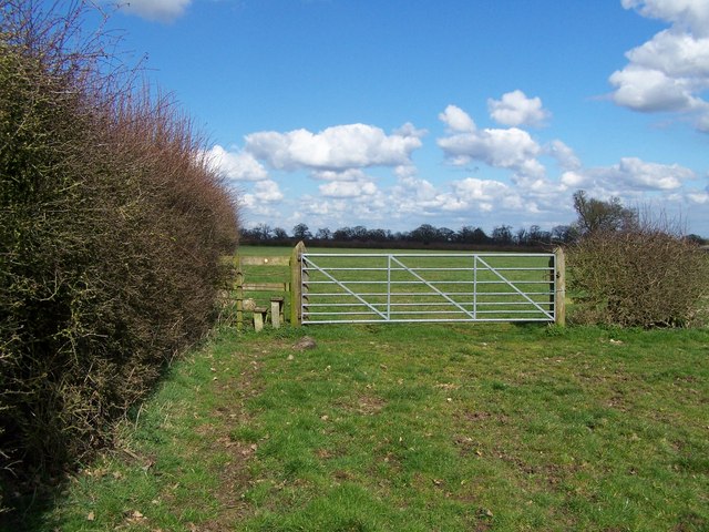
Hartley's Gorse is a small wood located in Staffordshire, England. It is situated near the village of Hartley, hence its name. The wood covers an area of approximately 10 acres and is part of the wider Hartley's Gorse Forest.
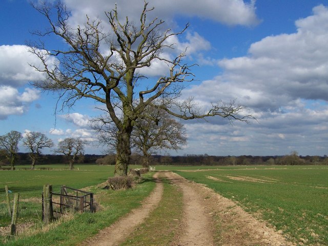
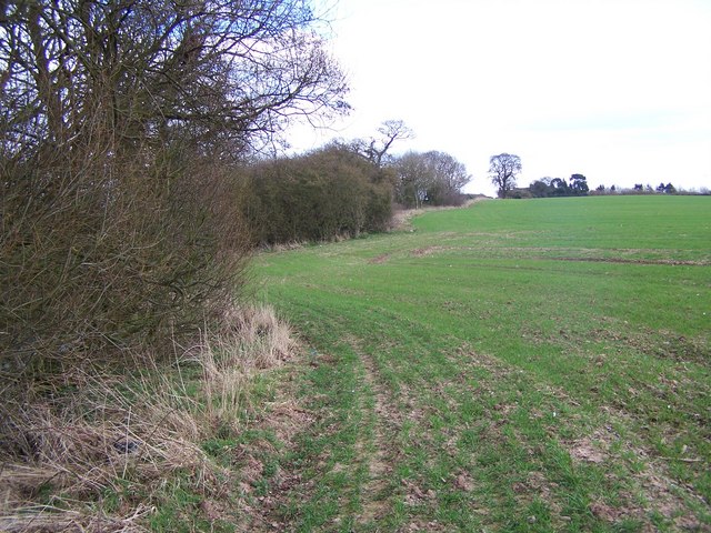
The woodland is predominantly made up of deciduous trees, such as oak, birch, and beech, creating a diverse and vibrant habitat for many species of flora and fauna. The forest floor is covered in a thick layer of leaf litter, providing a rich environment for fungi and other woodland plants to thrive.
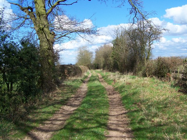
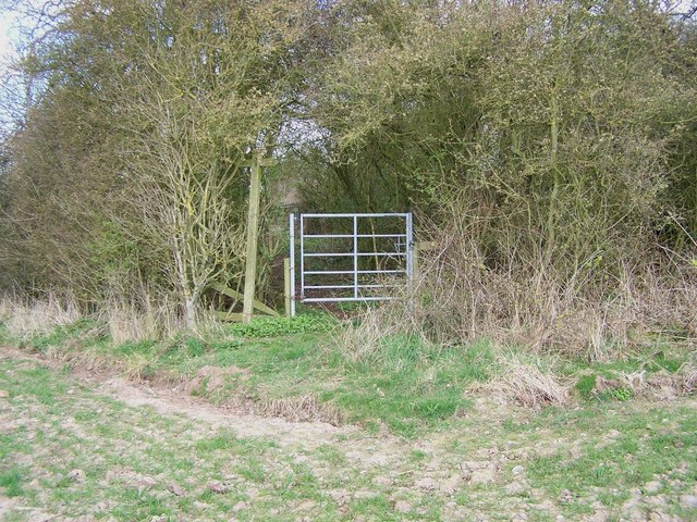
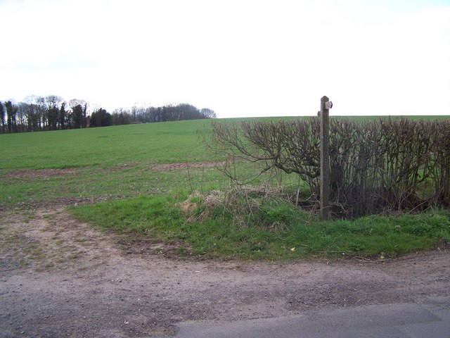
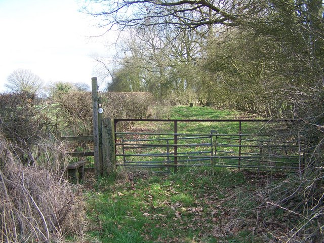
Hartley's Gorse is a popular destination for nature enthusiasts and walkers, offering a peaceful and tranquil setting away from the hustle and bustle of nearby towns and cities. There are a series of well-maintained footpaths that wind their way through the wood, allowing visitors to explore its beauty at their own pace.
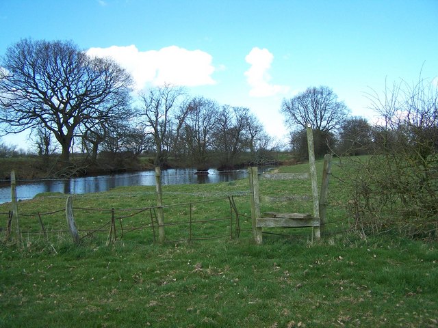
The wood is also home to a variety of wildlife, including birds, mammals, and insects. Birdwatchers can spot species such as woodpeckers, nuthatches, and various songbirds. Squirrels and foxes are commonly seen, while the lucky visitor may even catch a glimpse of a deer or badger.
Hartley's Gorse is owned and managed by the local council, who have implemented measures to preserve and protect the woodland's natural beauty. The wood is open to the public year-round and provides a valuable resource for education and recreation.
If you have any feedback on the listing, please let us know in the comments section below.
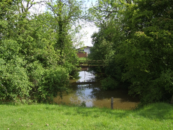
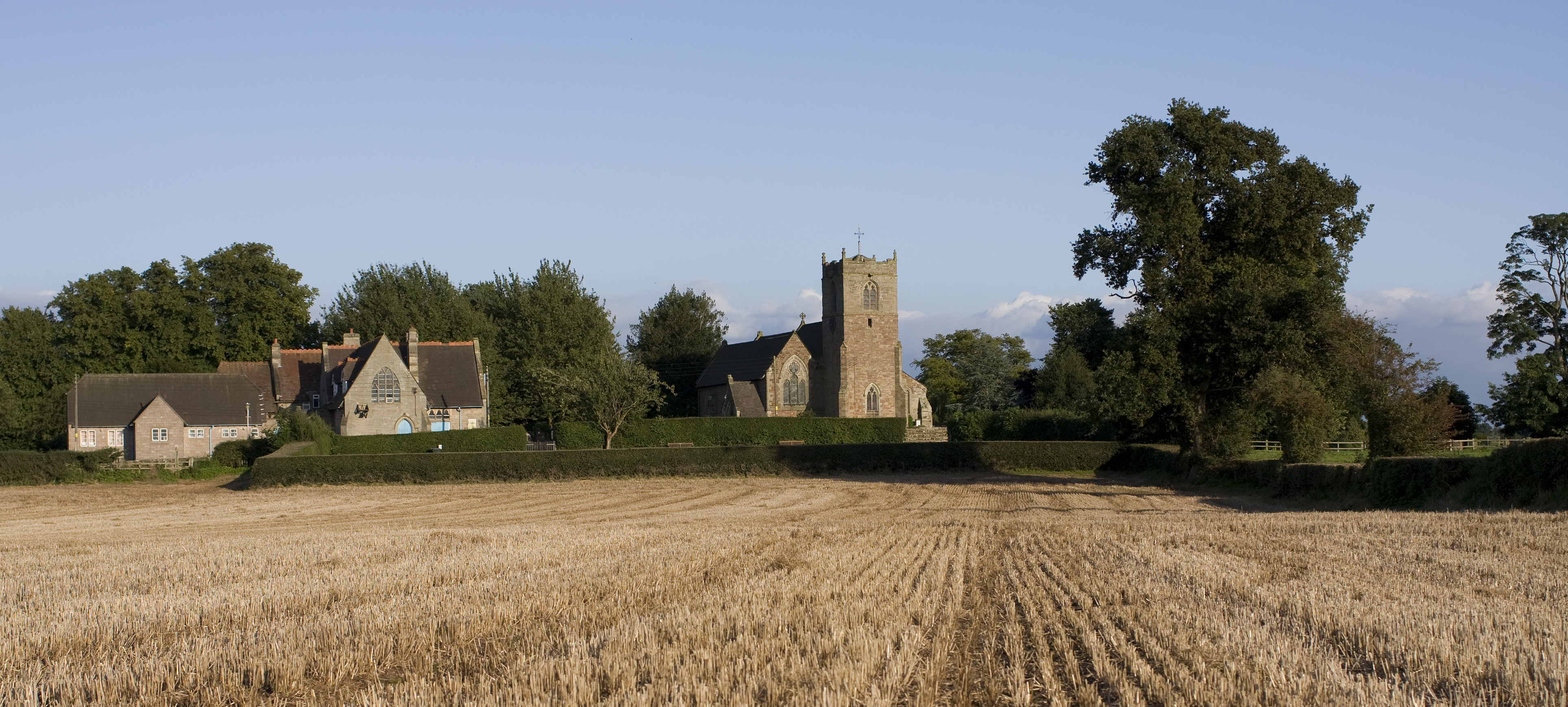
Hartley's Gorse Images
Images are sourced within 2km of 52.707658/-2.2429096 or Grid Reference SJ8312. Thanks to Geograph Open Source API. All images are credited.


Hartley's Gorse is located at Grid Ref: SJ8312 (Lat: 52.707658, Lng: -2.2429096)
Administrative County: Staffordshire
District: South Staffordshire
Police Authority: Staffordshire
What 3 Words
///sedative.unicorns.needed. Near Wheaton Aston, Staffordshire
Nearby Locations
Related Wikis

Mottey Meadows
Mottey Meadows National Nature Reserve (NNR) consists of a series of alluvial flood meadows near the village of Wheaton Aston in Staffordshire, England...
Brockhurst, Staffordshire
Brockhurst is a hamlet in Staffordshire, England, 1 mile sorth-west of Blymhill. It is part of Blymhill and Weston-under-Lizard civil parish within South...

Wheaton Aston
Wheaton Aston is a small village in Staffordshire, England about 9 miles south west of Stafford and 7 miles west of Cannock. It is located beside Bridge...

RAF Wheaton Aston
Royal Air Force Wheaton Aston, or more simply RAF Wheaton Aston, was a Royal Air Force station located just outside of the village of Wheaton Aston in...

Bishops Wood
Bishops Wood, or Bishopswood (grid reference SJ835097) is a small village on the Staffordshire border with Shropshire. It is home to the Royal Oak public...
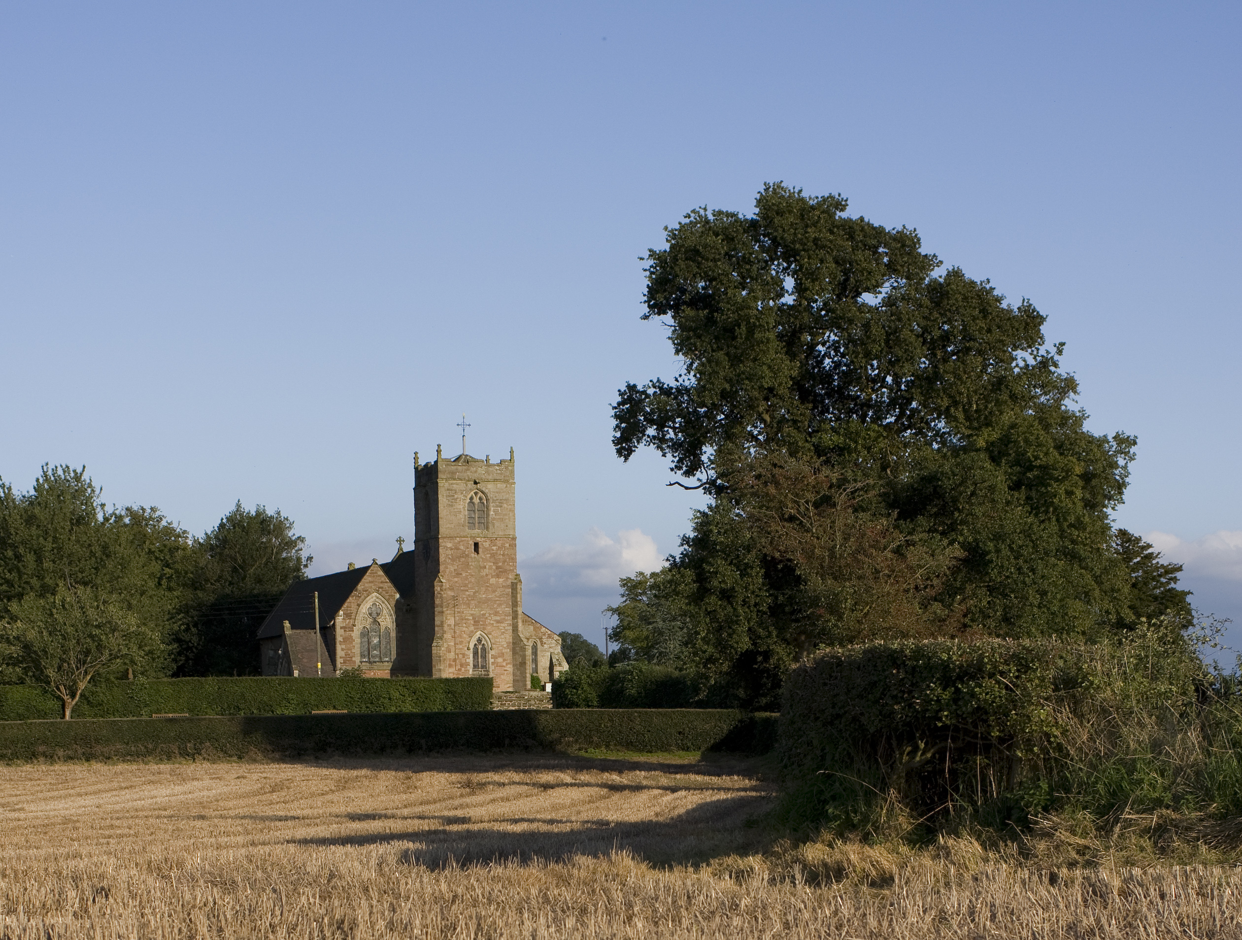
St Mary's Church, Blymhill
St. Mary's Church, Blymhill is an Anglican church in the village of Blymhill, Staffordshire, England (grid reference SJ808122). The building, which is...
Blymhill
Blymhill is a village and former civil parish, now in the parish of Blymhill and Weston-under-Lizard, in the South Staffordshire district, in the county...

Blymhill and Weston-under-Lizard
Blymhill and Weston-under-Lizard is a civil parish in the South Staffordshire district of Staffordshire, near the border with Shropshire in England. According...
Nearby Amenities
Located within 500m of 52.707658,-2.2429096Have you been to Hartley's Gorse?
Leave your review of Hartley's Gorse below (or comments, questions and feedback).