Clifford's Wood
Wood, Forest in Staffordshire Stafford
England
Clifford's Wood

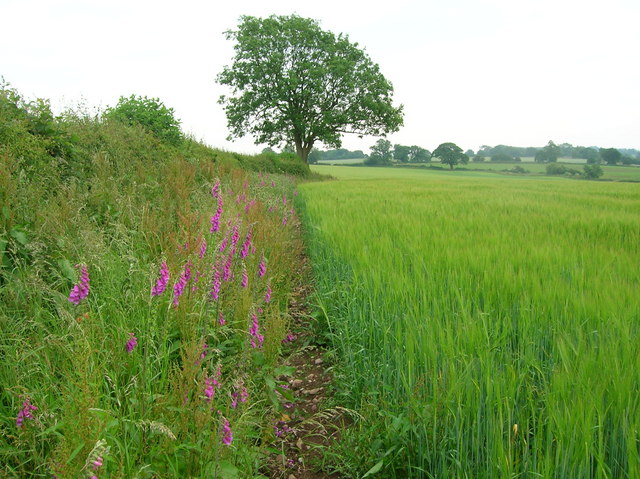
Clifford's Wood is a picturesque forest located in Staffordshire, England. It covers an area of approximately 300 acres and is known for its serene and tranquil atmosphere. The wood is situated on the outskirts of the small village of Clifford, hence its name, and is a popular destination for nature enthusiasts and hikers.
The wood is predominantly composed of native broadleaf trees such as oak, birch, and beech, which create a dense canopy, providing shade and shelter to the diverse range of flora and fauna that call the forest their home. Visitors can expect to encounter a variety of woodland creatures including squirrels, rabbits, and an array of bird species.
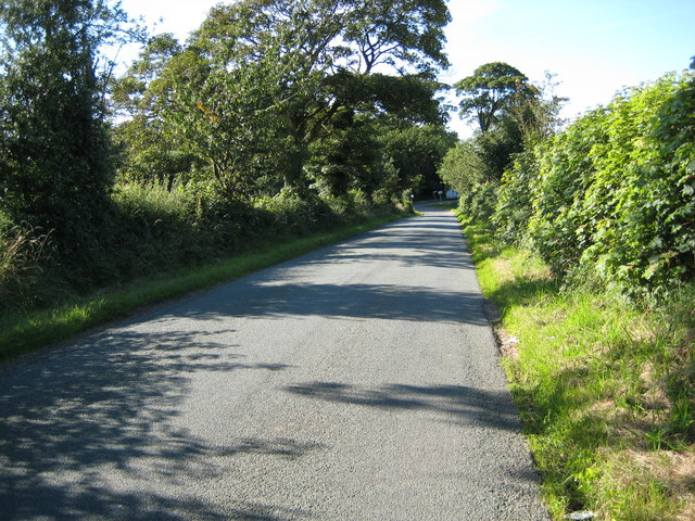
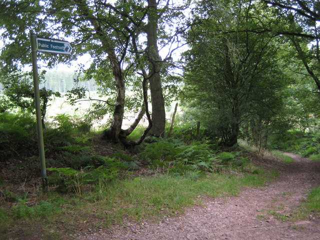
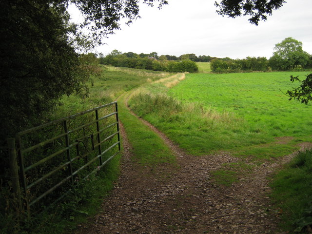
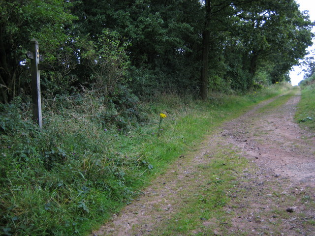
Clifford's Wood offers numerous walking trails that wind through the forest, allowing visitors to immerse themselves in the natural beauty of the surroundings. These trails vary in difficulty, catering to both casual strollers and more experienced hikers. The wood also features several picnic spots and benches, providing the perfect opportunity to rest and enjoy the peaceful ambiance.
The forest is well-maintained by local authorities, ensuring that the paths are clear and accessible throughout the year. It is advisable to wear appropriate footwear when visiting Clifford's Wood, as the trails can become muddy during wet weather.
Overall, Clifford's Wood offers a delightful escape from the hustle and bustle of everyday life. Its idyllic setting and diverse wildlife make it a must-visit destination for nature lovers and those seeking a peaceful retreat in the heart of Staffordshire.
If you have any feedback on the listing, please let us know in the comments section below.
Clifford's Wood Images
Images are sourced within 2km of 52.932156/-2.2453561 or Grid Reference SJ8337. Thanks to Geograph Open Source API. All images are credited.


Clifford's Wood is located at Grid Ref: SJ8337 (Lat: 52.932156, Lng: -2.2453561)
Administrative County: Staffordshire
District: Stafford
Police Authority: Staffordshire
What 3 Words
///smashes.makes.duke. Near Standon, Staffordshire
Nearby Locations
Related Wikis

Beechcliff
Beechcliff is a village in Staffordshire, England. For population details at the 2011 census see Swynnerton
Standon Bridge railway station
Standon Bridge railway station was a railway station in Standon, approximately 4 miles (6.4 km) west of Stone, Staffordshire. The station closed on 4 February...

Swynnerton Hall
Swynnerton Hall is an 18th-century country mansion house, the home of Lord Stafford, situated at Swynnerton near Stone, Staffordshire. It is a Grade I...

Swynnerton
Swynnerton is a village and civil parish in Staffordshire, England. It lies in the Borough of Stafford, and at the 2001 census had a population of 4,233...
Coombesdale
Coombesdale is a small settlement in Staffordshire, England. It is near the A51 road and is 6 kilometres (4 mi) southwest of the city of Stoke-on-Trent...

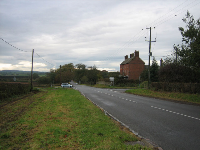
Standon, Staffordshire
Standon is a village and civil parish in the Stafford district, in the county of Staffordshire, England. Standon has a church called Church of All Saints...

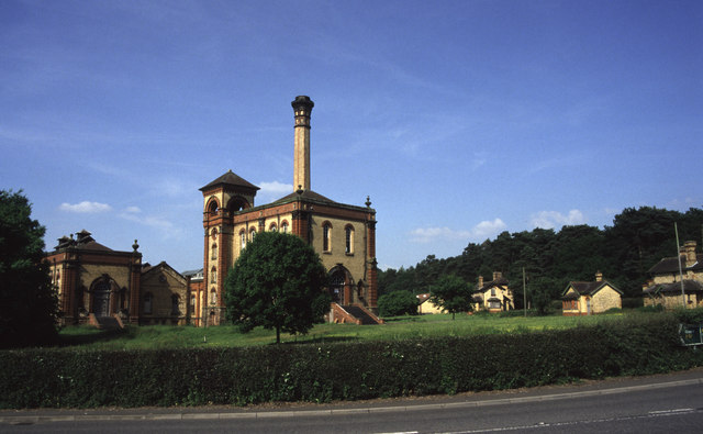
Mill Meece Pumping Station
Mill Meece Pumping Station is a pumping station, located in the village of Mill Meece in Staffordshire, England. Its function, powered by steam engines...
Bowers, Staffordshire
Bowers is a village in Staffordshire, England. For population details as taken in the 2011 census see Standon.
Have you been to Clifford's Wood?
Leave your review of Clifford's Wood below (or comments, questions and feedback).