Blackscar Wood

Wood, Forest in Westmorland Eden

England

Blackscar Wood

The road to Kaber
The road to Kaber Credit: John H Darch

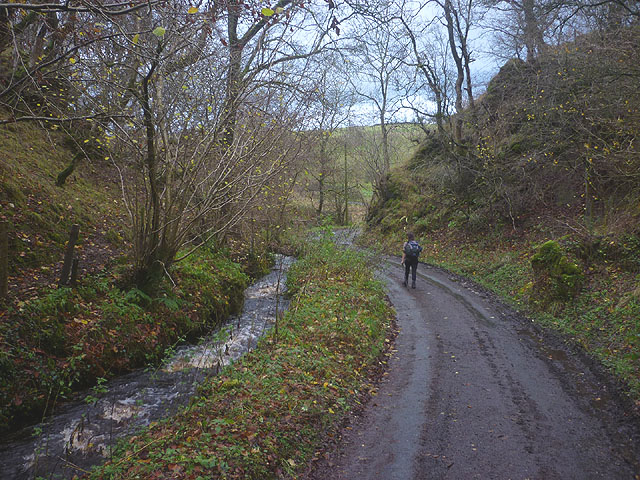
Blackscar Wood is a picturesque forest located in the county of Westmorland, England. Covering an area of approximately 300 acres, it is a significant natural landmark in the region. The wood is characterized by its dense and ancient woodland, with tall oak, beech, and ash trees dominating the landscape. The forest floor is carpeted with a rich variety of plant species, creating a diverse and vibrant ecosystem.

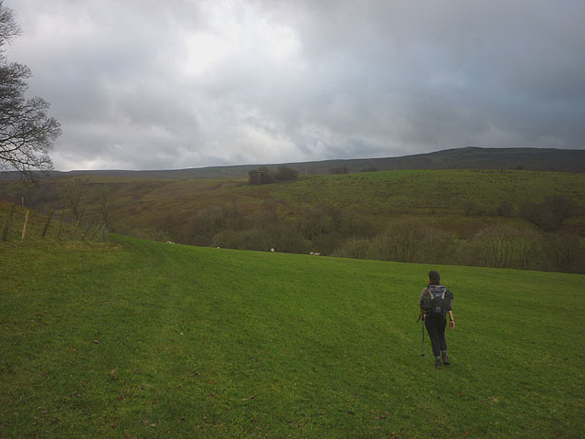
The wood is known for its tranquil atmosphere and is a popular destination for nature enthusiasts and hikers. Several walking trails meander through the forest, offering visitors the opportunity to explore its beauty and discover hidden gems along the way. The paths are well-maintained, making it accessible for all ages and abilities.

The wood is also home to a wide array of wildlife. Birdwatchers often flock to Blackscar Wood to catch a glimpse of rare and migratory species, such as the redstart and pied flycatcher. The forest is also a haven for mammals like badgers, foxes, and deer, making it an excellent spot for wildlife observation.

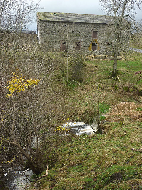
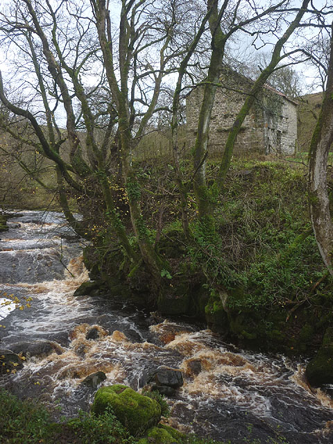
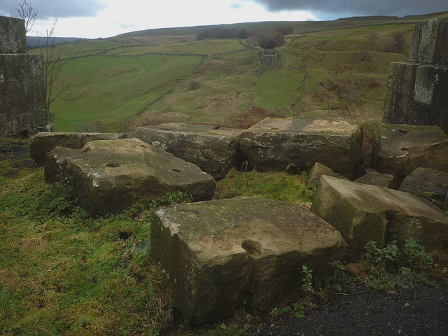
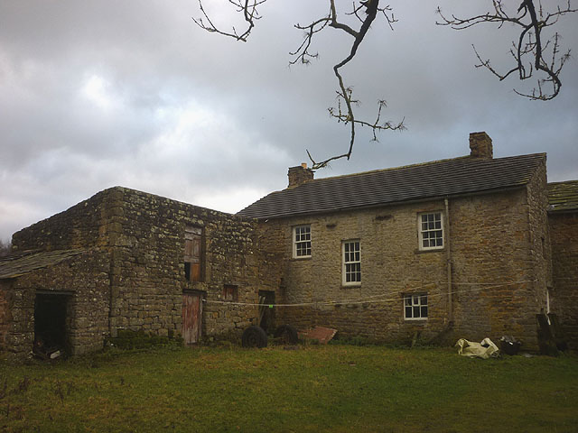
In addition to its natural beauty, Blackscar Wood also holds historical significance. The forest has existed for centuries and has witnessed various human activities over time. Remnants of ancient settlements and iron mining activities can still be found within its boundaries, offering a glimpse into the area's rich history.

Overall, Blackscar Wood is a captivating and diverse woodland that offers visitors a unique and immersive natural experience, rich in both beauty and history.

If you have any feedback on the listing, please let us know in the comments section below.

Blackscar Wood Images

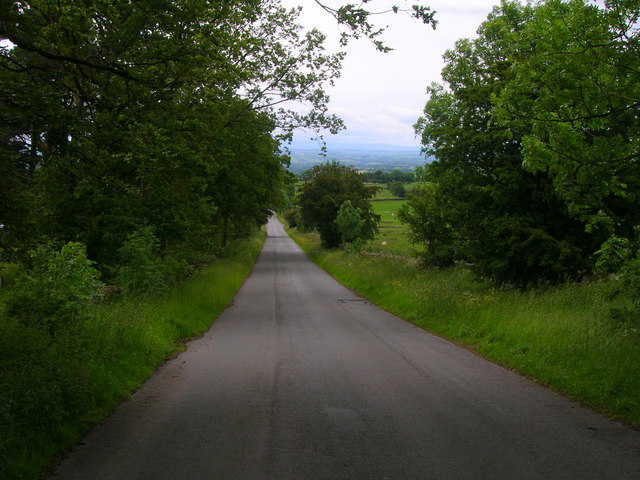
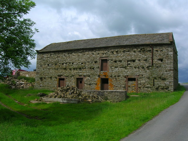
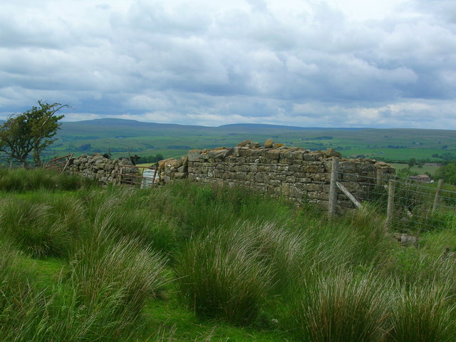
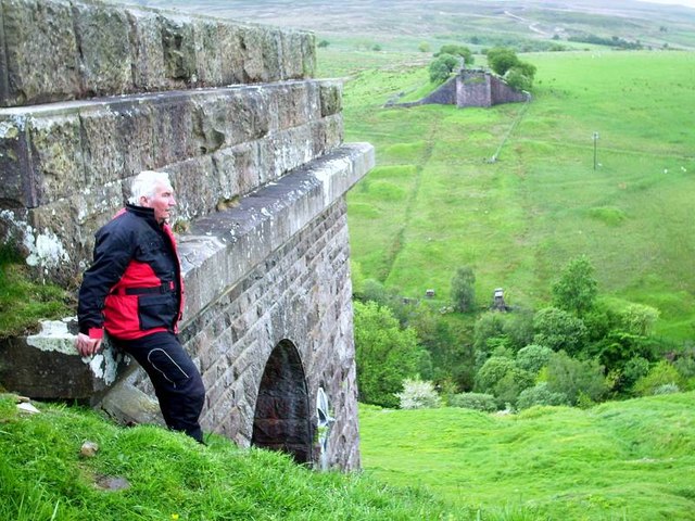
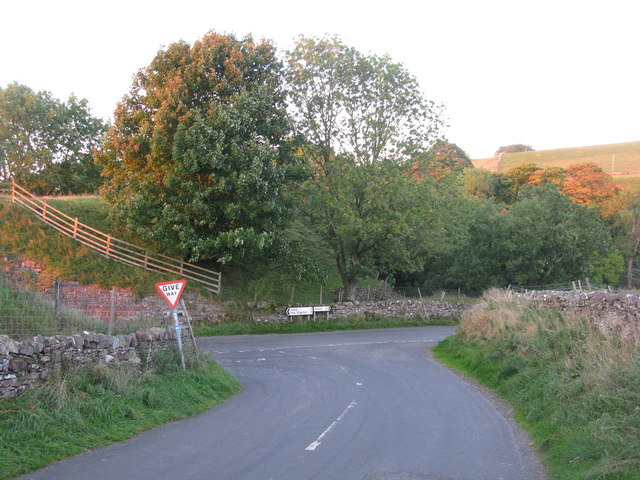
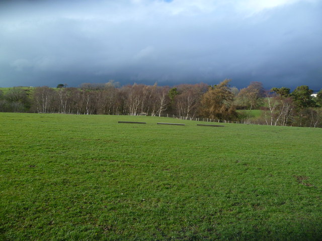
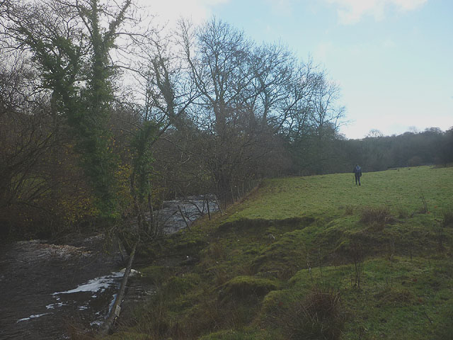
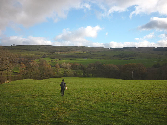
Images are sourced within 2km of 54.491996/-2.2546443 or Grid Reference NY8310. Thanks to Geograph Open Source API. All images are credited.

The road to Kaber
The road to Kaber
Barn by Swine Gill
Barn by Swine Gill
Ruined barn west of River Belah Mickle Fell can be seen on the horizon.
Ruined barn west of River Belah
Mickle Fell can be seen on the horizon.
Belah Viaduct ( Barras ) The stone buttresses of the once mighty Belah Viaduct, on the redundant railway to Kirkby Stephen from Barnard Castle.
Belah Viaduct ( Barras )
The stone buttresses of the once mighty Belah Viaduct, on the redundant railway to Kirkby Stephen from Barnard Castle.
T-Junction at Barras Approaching this junction along the road from Tan Hill Inn, you get advance warning because the junction is at the end of a steep hill on a bend.
T-Junction at Barras
Approaching this junction along the road from Tan Hill Inn, you get advance warning because the junction is at the end of a steep hill on a bend.
Tree Line, Hocker Gill Looking over an empty pasture towards the purple tinged birches growing in Hocker Gill
Tree Line, Hocker Gill
Looking over an empty pasture towards the purple tinged birches growing in Hocker Gill
Footpath by the Belah An unmarked route heads through pastureland beside the swiftly flowing river to Oxenthwaite Bridge.
Footpath by the Belah
An unmarked route heads through pastureland beside the swiftly flowing river to Oxenthwaite Bridge.
Footpath above Hocker Gill The route passes through pastureland, crossing a tributary of the wooded gill before reaching the minor road beyond.
Footpath above Hocker Gill
The route passes through pastureland, crossing a tributary of the wooded gill before reaching the minor road beyond.
Waterfall and barn, Swine Gill Just below the road the beck falls over a substantial drop. It does not have a name on the map so I shall christen it 'Swine Gill Force' since it is certainly deserves to be noticed.
Waterfall and barn, Swine Gill
Just below the road the beck falls over a substantial drop. It does not have a name on the map so I shall christen it 'Swine Gill Force' since it is certainly deserves to be noticed.
Footpath to Powleyclose Bridge Below New Hall the path drops down towards the wooded Belah through pastureland. High on the far side is the southern abutment of the old Belah Viaduct.
Footpath to Powleyclose Bridge
Below New Hall the path drops down towards the wooded Belah through pastureland. High on the far side is the southern abutment of the old Belah Viaduct.
The River Belah at Powleyclose Bridge The river descends steeply over shelves and boulders of limestone and sandstone. Just above is an intact stone field barn.
The River Belah at Powleyclose Bridge
The river descends steeply over shelves and boulders of limestone and sandstone. Just above is an intact stone field barn.
Masonry blocks, Bela Viaduct These massive blocks of sandstone masonry have been left perched by the brink of the southern abutment. They were left here after the iron latticework span <span class="nowrap"><a title="http://www.forgottenrelics.co.uk/bridges/images/belah/belah-1.jpg" rel="nofollow ugc noopener" href="http://www.forgottenrelics.co.uk/bridges/images/belah/belah-1.jpg">Link</a><img style="margin-left:2px;" alt="External link" title="External link - shift click to open in new window" src="https://s1.geograph.org.uk/img/external.png" width="10" height="10"/></span> was dismantled in 1963. In the distance, across the great gulf of the Belah valley can be seen the northern abutment.
Masonry blocks, Bela Viaduct
These massive blocks of sandstone masonry have been left perched by the brink of the southern abutment. They were left here after the iron latticework span LinkExternal link was dismantled in 1963. In the distance, across the great gulf of the Belah valley can be seen the northern abutment.
Heggerscales Lane above Coldkeld Bridge This quiet lane with Coldkeld Beck rushing alongside is actually quite pleasant to walk along.
Heggerscales Lane above Coldkeld Bridge
This quiet lane with Coldkeld Beck rushing alongside is actually quite pleasant to walk along.
Farmhouse and outbuilding at Coldkeld 'Keld' is Old Norse for a well or spring and, sure enough, there is a Coldkeld Spring just to the south east.
Farmhouse and outbuilding at Coldkeld
'Keld' is Old Norse for a well or spring and, sure enough, there is a Coldkeld Spring just to the south east.
Ruined signal box by the Belah Viaduct The roof beams have completely disappeared since 2008 <a href="https://www.geograph.org.uk/photo/958817">NY8310 : Belah Viaduct signal box</a>
Ruined signal box by the Belah Viaduct
The roof beams have completely disappeared since 2008 NY8310 : Belah Viaduct signal box
The road to Wrenside
Autumn trees above Swine Gill The low light from the setting sun catching these trees had attracted my attention from much higher up the hillside, to the extent that I descended much further than had been my original plan. Just in time, too, as layers of low cloud coming and going took the light away a minute or so later and it didn't return until I had climbed back up to the east. The dark depression to the left is where Swine Gill cuts down steeply as it leaves the moor, but is crossed by the embankment of the long-defunct South Durham and Lancashire Union Railway as it heads north from the Belah viaduct to the village of Barras on its way to the Stainmore summit..
Autumn trees above Swine Gill
The low light from the setting sun catching these trees had attracted my attention from much higher up the hillside, to the extent that I descended much further than had been my original plan. Just in time, too, as layers of low cloud coming and going took the light away a minute or so later and it didn't return until I had climbed back up to the east. The dark depression to the left is where Swine Gill cuts down steeply as it leaves the moor, but is crossed by the embankment of the long-defunct South Durham and Lancashire Union Railway as it heads north from the Belah viaduct to the village of Barras on its way to the Stainmore summit..
Bridleway towards New Hall A very easy to follow bridleway crosses the western slopes of Middle Fell from the minor road above Barras and turns sharply downhill towards New Hall. It is deflected from its course as it leaves the CROW Access Land and meets what is shown on older maps as a public road to High Ewebank (in yellow) but now appears merely as a track from a kilometre north of New Hall. In this late afternoon November view, the valley of the River Belah is illuminated by the low sun, which has temporarily deserted your photographer owing to a low stratus cloud near the western horizon.
Bridleway towards New Hall
A very easy to follow bridleway crosses the western slopes of Middle Fell from the minor road above Barras and turns sharply downhill towards New Hall. It is deflected from its course as it leaves the CROW Access Land and meets what is shown on older maps as a public road to High Ewebank (in yellow) but now appears merely as a track from a kilometre north of New Hall. In this late afternoon November view, the valley of the River Belah is illuminated by the low sun, which has temporarily deserted your photographer owing to a low stratus cloud near the western horizon.
Show me another place!

Blackscar Wood is located at Grid Ref: NY8310 (Lat: 54.491996, Lng: -2.2546443)

Administrative County: Cumbria

District: Eden

Police Authority: Cumbria

What 3 Words

///height.rope.onwards. Near Kirkby Stephen, Cumbria

Nearby Locations

Blackscar Wood

Related Wikis

Nearby Amenities

Located within 500m of 54.491996,-2.2546443
Site of Belah Viaduct
Historic: yes
Wikidata: Q13528046
Wikipedia: en:Belah Viaduct
Lat/Long: 54.4896608/-2.2491139
Blackscar Wood
Natural: wood
Lat/Long: 54.4931073/-2.2548996
Power: pole
Lat/Long: 54.4927645/-2.2616263
Power: pole
Lat/Long: 54.4933372/-2.2607488
Power: pole
Lat/Long: 54.4938677/-2.2599164
Power: pole
Lat/Long: 54.4943432/-2.2591946
Power: pole
Lat/Long: 54.494682/-2.2586568
Power: pole
Lat/Long: 54.4954789/-2.2574407
Power: pole
Lat/Long: 54.4962403/-2.256282
Power: pole
Lat/Long: 54.4920842/-2.260207
Power: pole
Lat/Long: 54.4915008/-2.2589732
Power: pole
Lat/Long: 54.4909357/-2.2577828
Power: pole
Lat/Long: 54.4905808/-2.2570374
Power: pole
Lat/Long: 54.4901938/-2.256199
Power: pole
Lat/Long: 54.4898412/-2.2548049
Power: pole
Lat/Long: 54.4895196/-2.2535216
Power: pole
Lat/Long: 54.4892049/-2.2522957
Power: pole
Lat/Long: 54.4889143/-2.2511172
Power: pole
Lat/Long: 54.4886329/-2.2500336
Power: pole
Lat/Long: 54.4918551/-2.2498566
Power: pole
Lat/Long: 54.4913888/-2.2500623
Power: pole
Lat/Long: 54.4903953/-2.2505309
Power: pole
Lat/Long: 54.4894374/-2.2509086
The data included in this document is from www.openstreetmap.org. The data is made available under ODbL.

Have you been to Blackscar Wood?

Leave your review of Blackscar Wood below (or comments, questions and feedback).