Stew Covert
Wood, Forest in Worcestershire Malvern Hills
England
Stew Covert
Stew Covert, Worcestershire, also known as Wood or Forest, is a small village located in the county of Worcestershire, England. Nestled amidst picturesque landscapes, this rural community offers a tranquil and idyllic setting for its residents and visitors alike.
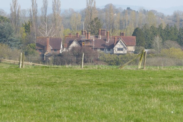
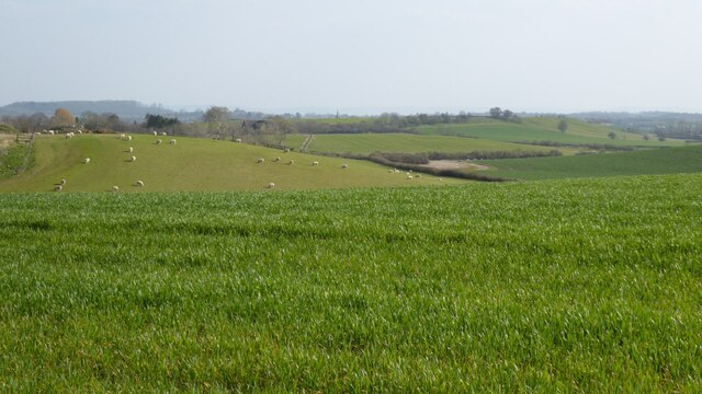
The village is characterized by its stunning natural beauty, with lush greenery, rolling hills, and dense forests surrounding the area. The name "Stew Covert" refers to the historic practice of maintaining a deer park or hunting ground, which adds to the village's rich history and heritage.
The village itself is relatively small, with a close-knit community that fosters a friendly and welcoming atmosphere. The residents of Stew Covert take pride in their village and are known for their strong community spirit.
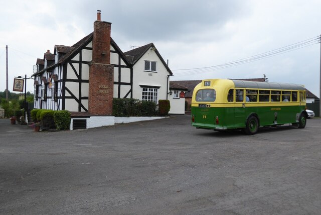
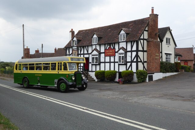
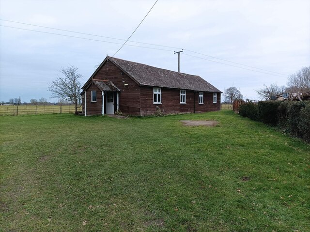
Despite its rural setting, Stew Covert offers a range of amenities to cater to the needs of its inhabitants. These include a village hall, a local pub, and a small convenience store. For more extensive services and facilities, residents can easily access the nearby town of Worcestershire, which is just a short drive away.
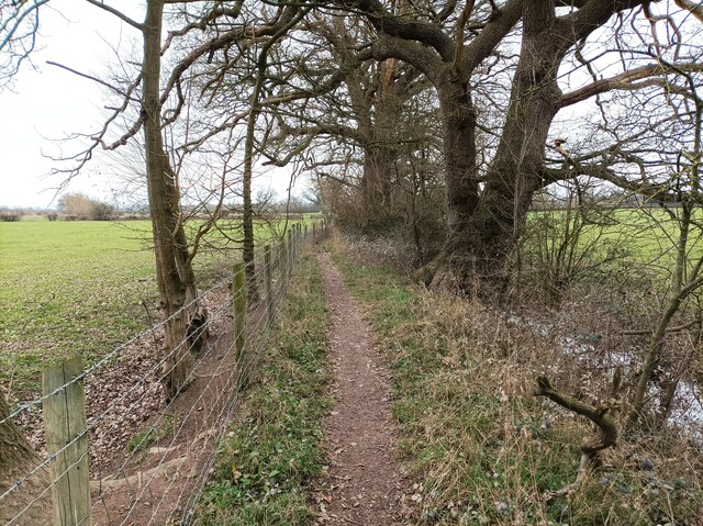
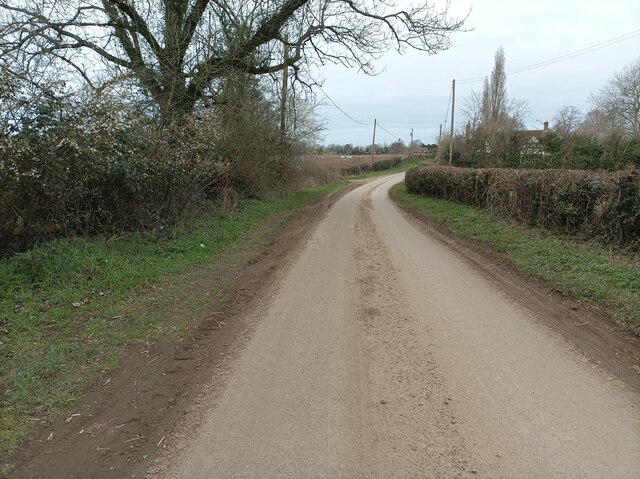
Stew Covert is a haven for nature lovers and outdoor enthusiasts. The surrounding forests provide ample opportunities for hiking, cycling, and wildlife spotting. The village is also dotted with charming footpaths and bridleways, offering scenic routes for leisurely walks and horse riding.
Overall, Stew Covert, Worcestershire, is a charming village that seamlessly blends natural beauty with a strong sense of community. It offers a peaceful and serene lifestyle for those seeking a rural retreat while still providing easy access to nearby amenities and services.
If you have any feedback on the listing, please let us know in the comments section below.
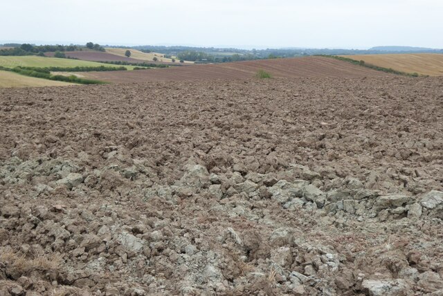
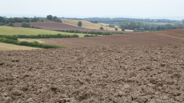
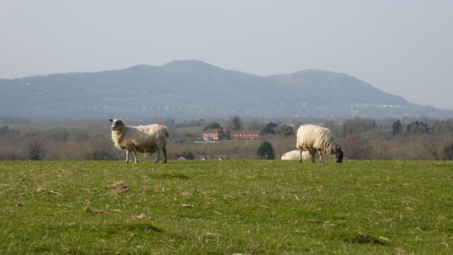
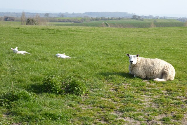
Stew Covert Images
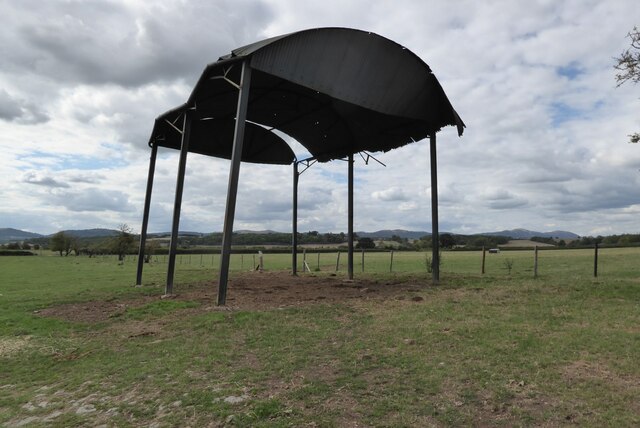
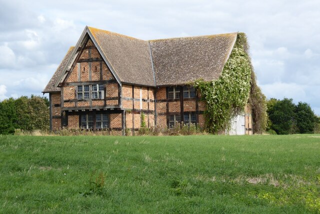
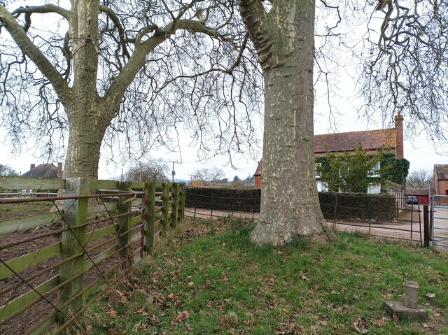
Images are sourced within 2km of 52.047853/-2.2433658 or Grid Reference SO8338. Thanks to Geograph Open Source API. All images are credited.


Stew Covert is located at Grid Ref: SO8338 (Lat: 52.047853, Lng: -2.2433658)
Administrative County: Worcestershire
District: Malvern Hills
Police Authority: West Mercia
What 3 Words
///radically.waving.unstated. Near Upton upon Severn, Worcestershire
Nearby Locations
Related Wikis

Holdfast, Worcestershire
Holdfast is a civil parish in the Malvern Hills District of the county of Worcestershire, England. It is one of three administered by the Parish Council...
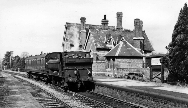
Upton-on-Severn railway station
Upton-on-Severn railway station was a railway station serving Upton-on-Severn in the English county of Worcestershire. == History == It was opened...

Upton-upon-Severn
Upton-upon-Severn (or Upton on Severn, etc. and locally simply Upton) is a town and civil parish in the Malvern Hills District of Worcestershire, England...

Battle of Upton
The Battle of Upton was fought on 28 August 1651 when a New Model Army detachment under the command of Colonel John Lambert made a surprise attack on Royalists...
Nearby Amenities
Located within 500m of 52.047853,-2.2433658Have you been to Stew Covert?
Leave your review of Stew Covert below (or comments, questions and feedback).