Evistones Plantation
Wood, Forest in Northumberland
England
Evistones Plantation
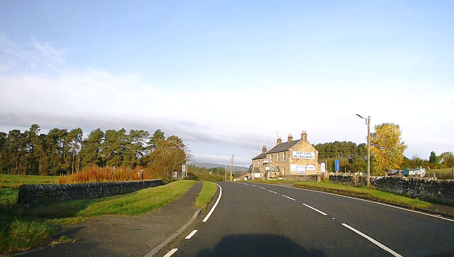
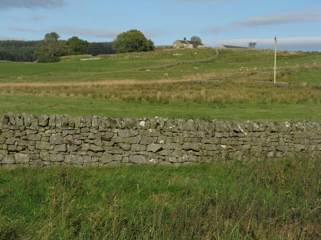
Evistones Plantation is a sprawling woodland located in Northumberland, England. Nestled in the heart of the county, this magnificent forest covers a vast area of approximately 500 acres. The plantation is known for its dense and diverse vegetation, making it a haven for nature enthusiasts and wildlife alike.
The woodland is predominantly composed of deciduous trees, with a rich variety including oak, beech, birch, and ash. These towering trees create a lush canopy that provides shelter and habitat for numerous species of birds, mammals, and insects. The plantation is also home to several ancient trees, some of which are estimated to be hundreds of years old, adding a touch of history and grandeur to the landscape.
Evistones Plantation offers a network of well-maintained walking trails that wind through its enchanting woodlands. These paths allow visitors to immerse themselves in the serene beauty of nature while enjoying a leisurely stroll or engaging in more vigorous activities such as hiking or running. The plantation is equipped with informative signposts and markers, providing visitors with interesting insights into the flora and fauna that call this woodland their home.
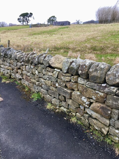
Beyond its natural beauty, Evistones Plantation also holds historical significance. The site was once part of a larger estate dating back to the 18th century, with remnants of old walls and structures still visible within the woodland. This adds an extra layer of intrigue for history enthusiasts and those curious about the area's past.
Overall, Evistones Plantation in Northumberland is a captivating woodland that offers a tranquil escape from the bustle of modern life. Its diverse vegetation, abundance of wildlife, and historical elements make it a must-visit destination for those seeking a serene and enriching outdoor experience.
If you have any feedback on the listing, please let us know in the comments section below.
Evistones Plantation Images
Images are sourced within 2km of 55.263066/-2.2656471 or Grid Reference NY8396. Thanks to Geograph Open Source API. All images are credited.


![Woolaw enclosure and roundhouse I saw the brown tourism sign ‘Brigantium Archaeological Centre 1mile’, and assumed it would be near the café at Rochester. It was, but the young lassie serving denied all knowledge of it. A voice from the back explained that it was an initiative of Lord Redesdale, who thought it would be a good place to develop as the topics it covered were on the curriculum, but few schools used it. It is now in very poor condition, but accessible from the café. A website comment in 2003 said ‘I would be very surprised if this museum lasts out the decade without further funding’. Originally it had a display and video room, and outdoor reconstructions of prehistoric and Roman features (all based on real sites in the valley), a dowsing course, and a willow maze [that shows up on Google Earth and looks like a giant footprint!]. The remains of Roman Bremenium are nearby. Now many of the bits of information around the site are missing, but it is still worth a visit. The link to the Newcastle Museums site does not work, and it seems as if the originators of the centre have given up on it.](https://s1.geograph.org.uk/geophotos/02/65/65/2656557_6189ffda.jpg)
![Woolaw roundhouse at 'Brigantium' For earlier pictures of the house see <a href="https://www.geograph.org.uk/photo/292002">NY8298 : Woolaw enclosed farmstead at Brigantium</a> [2006], and <a href="https://www.geograph.org.uk/photo/1316799">NY8298 : Woolaw fortified farmstead, Brigantium</a> [2009].](https://s1.geograph.org.uk/geophotos/02/65/65/2656569_e8e56894.jpg)
![Inside Woolaw roundhouse I saw the brown tourism sign ‘Brigantium Archaeological Centre 1mile’, and assumed it would be near the café at Rochester. It was, but the young lassie serving denied all knowledge of it. A voice from the back explained that it was an initiative of Lord Redesdale, who thought it would be a good place to develop as the topics it covered were on the curriculum, but few schools used it. It is now in very poor condition, but accessible from the café. A website comment in 2003 said ‘I would be very surprised if this museum lasts out the decade without further funding’. Originally it had a display and video room, and outdoor reconstructions of prehistoric and Roman features (all based on real sites in the valley), a dowsing course, and a willow maze [that shows up on Google Earth and looks like a giant footprint!]. The remains of Roman Bremenium are nearby. Now many of the bits of information around the site are missing, but it is still worth a visit. The link to the Newcastle Museums site does not work, and it seems as if the originators of the centre have given up on it.](https://s2.geograph.org.uk/geophotos/02/65/65/2656574_2d9841b1.jpg)


Evistones Plantation is located at Grid Ref: NY8396 (Lat: 55.263066, Lng: -2.2656471)
Unitary Authority: Northumberland
Police Authority: Northumbria
What 3 Words
///flanks.wrist.dolly. Near Rochester, Northumberland
Nearby Locations
Related Wikis

Rochester, Northumberland
Rochester is a small village and civil parish in north Northumberland, England. It is 5 miles (8 km) north-west of Otterburn on the A68 road between Corbridge...

Bremenium
Bremenium is an ancient Roman fort (castrum) located at Rochester, Northumberland, England. The fort is one of the defensive structures built along Dere...

A68 road
The A68 is a major road in the United Kingdom, running from Darlington in England to the A720 in Edinburgh, the capital of Scotland. It crosses the Anglo...
Percy Cross
The Percy Cross (also Battle Stone) is located just off the A696, 1 kilometre (0.62 mi) from Otterburn, Northumberland, England. It was erected before...
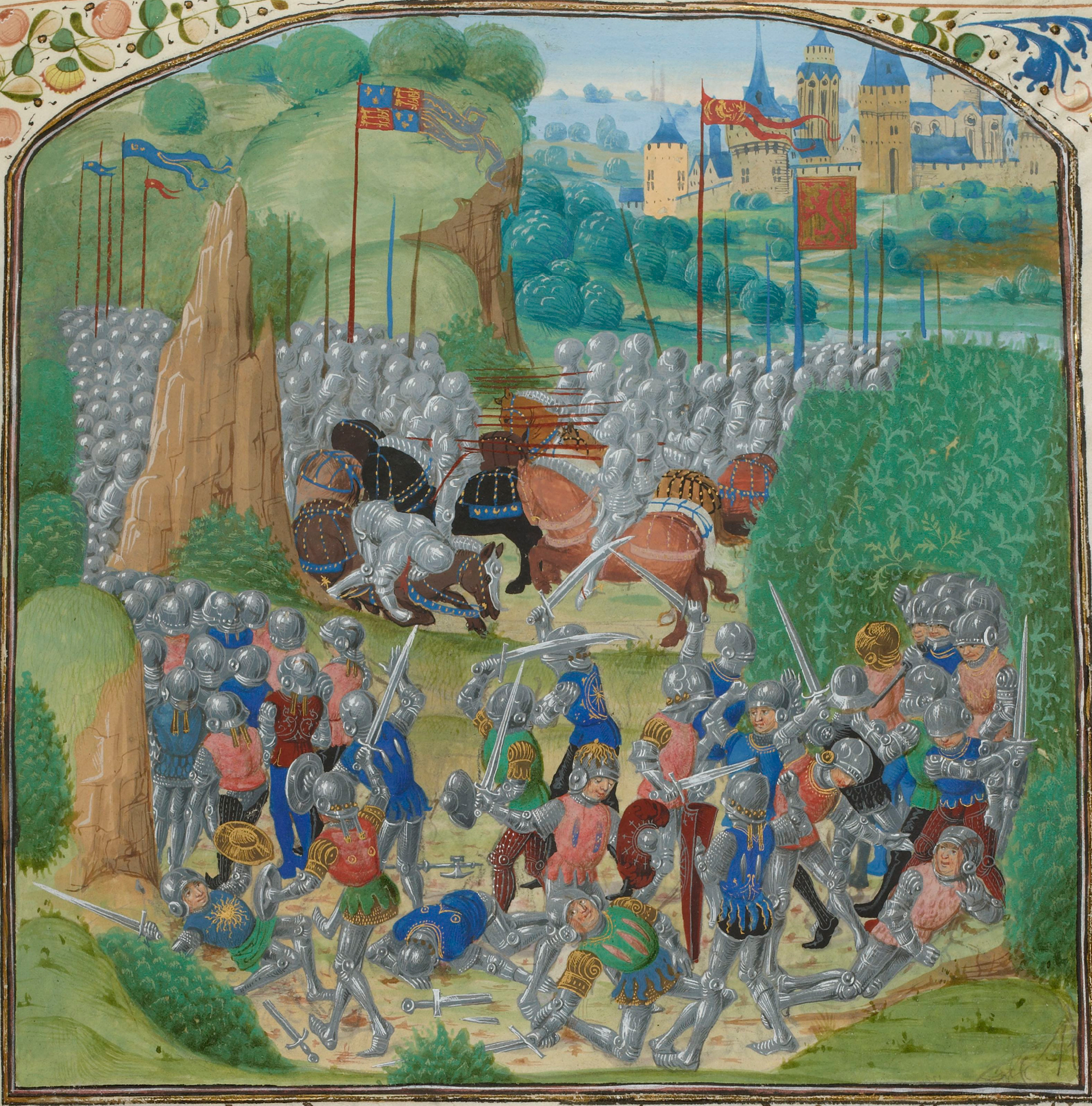
Battle of Otterburn
The Battle of Otterburn took place according to Scottish sources on 5 August 1388, or 19 August according to English sources, as part of the continuing...

Otterburn Hall
Otterburn Hall is an English country house and estate in Otterburn, Northumberland. It is situated in 500 acres (200 ha) of deer park and woodland in...

Otterburn, Northumberland
Otterburn is a small village in Northumberland, England, 31 miles (50 km) northwest of Newcastle upon Tyne on the banks of the River Rede, near the confluence...

Redesdale
Redesdale is a valley in western Northumberland, England. It is formed by the River Rede, which rises in the Cheviots and flows down to join the North...
Nearby Amenities
Located within 500m of 55.263066,-2.2656471Have you been to Evistones Plantation?
Leave your review of Evistones Plantation below (or comments, questions and feedback).