Tennis Corner Wood

Wood, Forest in Wiltshire

England

Tennis Corner Wood

A36 at the bottom of Black Dog Hill Seen from the lay-by to the south of the road.
A36 at the bottom of Black Dog Hill Credit: David Martin

Tennis Corner Wood is a picturesque woodland area located in the county of Wiltshire, England. Covering an approximate area of 50 acres, this wood is nestled within the enchanting landscape of the Woodford Valley, near the village of Woodford.

The wood is predominantly composed of native deciduous trees, such as oak, ash, and beech, which provide a lush and vibrant canopy during the warmer months. These trees, along with a variety of smaller shrubs and plants, create a diverse ecosystem that supports a wide range of wildlife.

Visitors to Tennis Corner Wood can expect to find a network of well-maintained footpaths and trails that allow for leisurely exploration. These paths wind their way through the wood, providing opportunities for peaceful walks, birdwatching, and nature photography. The wood is also a popular destination for dog walkers, who can enjoy the serenity and tranquility of the surroundings.

Throughout the year, Tennis Corner Wood showcases the beauty of each season. In spring, the wood bursts into life with a riot of colorful wildflowers, while autumn brings a spectacular display of foliage as the trees transition into vibrant hues of red, orange, and gold.

Tennis Corner Wood is managed by a local conservation group, which ensures the preservation of the woodland's natural beauty and protects its delicate ecosystem. The wood is open to the public during daylight hours and offers a serene escape from the hustle and bustle of modern life.

If you have any feedback on the listing, please let us know in the comments section below.

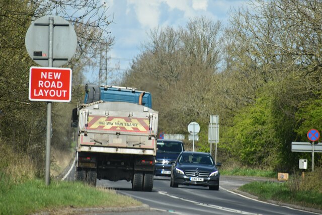
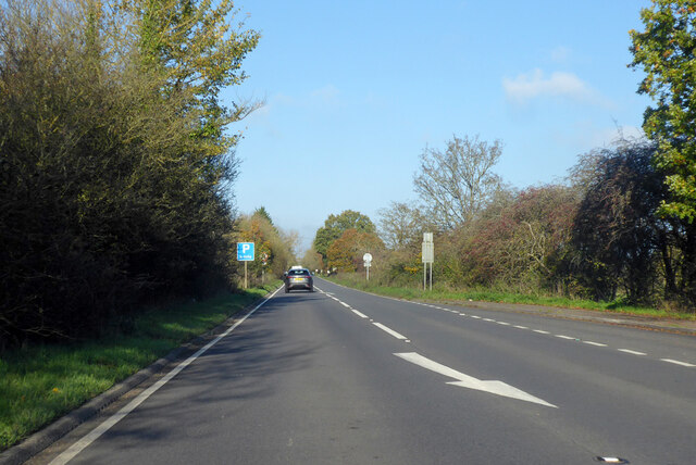
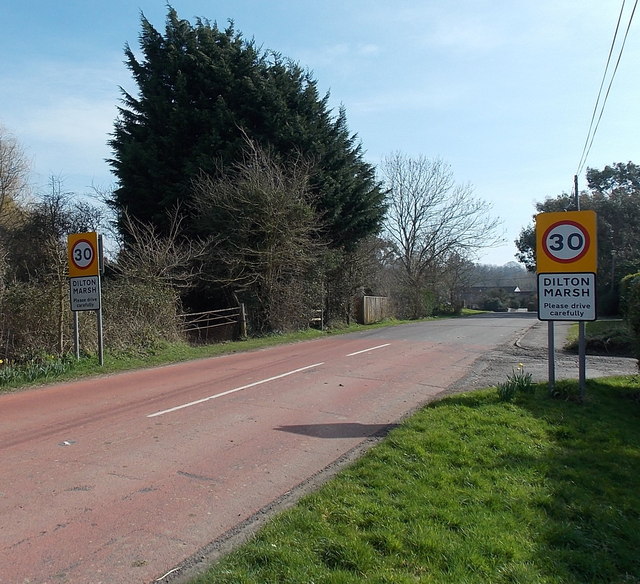
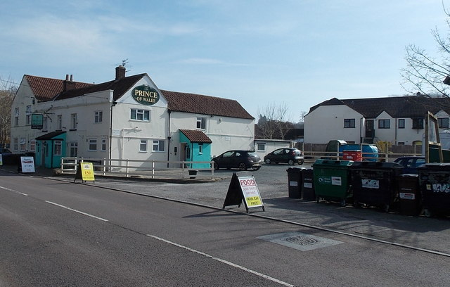
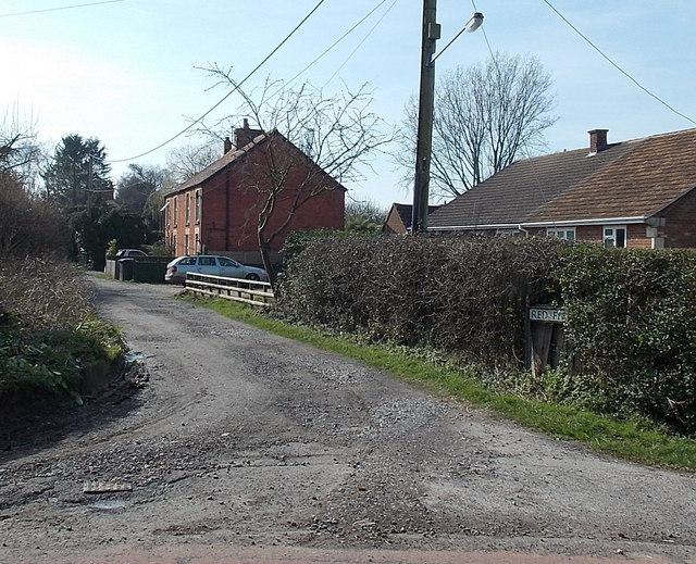
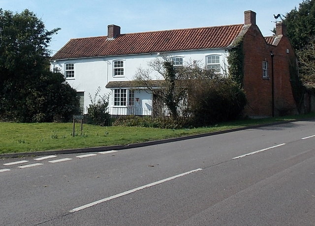
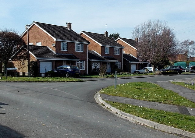
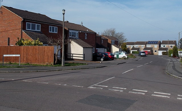
Tennis Corner Wood Images

Images are sourced within 2km of 51.256743/-2.2420844 or Grid Reference ST8350. Thanks to Geograph Open Source API. All images are credited.

A36 at the bottom of Black Dog Hill Seen from the lay-by to the south of the road.
A36 at the bottom of Black Dog Hill
Seen from the lay-by to the south of the road.
A36 towards Bath
A36 towards Bath
Western boundary of Dilton Marsh The national speed limit along the B3099 reduces to 30mph.
Western boundary of Dilton Marsh
The national speed limit along the B3099 reduces to 30mph.
The Prince of Wales, Dilton Marsh Village pub on the south side of the B3099 High Street. There is a large recycling area on the right.
The Prince of Wales, Dilton Marsh
Village pub on the south side of the B3099 High Street. There is a large recycling area on the right.
Northern end of Red Pit, Dilton Marsh Viewed from the edge of the B3099 Clivey looking along Red Pit towards Stormore.
Northern end of Red Pit, Dilton Marsh
Viewed from the edge of the B3099 Clivey looking along Red Pit towards Stormore.
House on the corner of Clivey and Stormore, Dilton Marsh The junction with Stormore on the left is the point where the B3099 High Street behind the camera become the B3099 Clivey ahead. A Clivey name sign is on the grass in the foreground.
House on the corner of Clivey and Stormore, Dilton Marsh
The junction with Stormore on the left is the point where the B3099 High Street behind the camera become the B3099 Clivey ahead. A Clivey name sign is on the grass in the foreground.
Greenacres, Dilton Marsh Houses on the west side of a cul-de-sac, viewed across Stormore.
Greenacres, Dilton Marsh
Houses on the west side of a cul-de-sac, viewed across Stormore.
Shepherds Mead, Dilton Marsh Shepherds Mead is a long cul-de-sac located between the B3099 High Street and Dilton Marsh Farm.
Shepherds Mead, Dilton Marsh
Shepherds Mead is a long cul-de-sac located between the B3099 High Street and Dilton Marsh Farm.
Former Kings Arms pub, Dilton Marsh Long since converted to residential use, the former pub is on the corner of High Street and School Lane. A faint remnant of THE KINGS ARMS name remains between the upper and lower windows.
Former Kings Arms pub, Dilton Marsh
Long since converted to residential use, the former pub is on the corner of High Street and School Lane. A faint remnant of THE KINGS ARMS name remains between the upper and lower windows.
Dilton Motors, Dilton Marsh Car sales business on the north side of High Street.
Dilton Motors, Dilton Marsh
Car sales business on the north side of High Street.
Park Road, Dilton Marsh Viewed from the corner of High Street. The sign shows that Park Road 
leads to The Crescent, The Avenue, The Circle and Woodland View.
Park Road, Dilton Marsh
Viewed from the corner of High Street. The sign shows that Park Road leads to The Crescent, The Avenue, The Circle and Woodland View.
Interesting building in High Street, Dilton Marsh Viewed from the corner of Alan Powell Lane. The building extends for nearly 20 metres away from the north side of High Street. Now in residential use, it looks like it used to be a church or perhaps a school, but research into its previous usage has been surprisingly fruitless.
Interesting building in High Street, Dilton Marsh
Viewed from the corner of Alan Powell Lane. The building extends for nearly 20 metres away from the north side of High Street. Now in residential use, it looks like it used to be a church or perhaps a school, but research into its previous usage has been surprisingly fruitless.
Welcome to Dilton Rovers FC, Dilton Marsh Viewed from High Street looking south along Alan Powell Lane towards Dilton Marsh Playing Field.
Welcome to Dilton Rovers FC, Dilton Marsh
Viewed from High Street looking south along Alan Powell Lane towards Dilton Marsh Playing Field.
Dilton Marsh Playing Field Located south of High Street, accessed via Alan Powell Lane, <a title="https://www.geograph.org.uk/photo/3958556" href="https://www.geograph.org.uk/photo/3958556">Link</a> 
this is the home ground of Dilton Rovers FC (football club).
Dilton Marsh Playing Field
Located south of High Street, accessed via Alan Powell Lane, Link this is the home ground of Dilton Rovers FC (football club).
Changing rooms building in Dilton Marsh Playing Field The metal building is on the east side of the football pitch. <a title="https://www.geograph.org.uk/photo/3958576" href="https://www.geograph.org.uk/photo/3958576">Link</a>
Changing rooms building in Dilton Marsh Playing Field
The metal building is on the east side of the football pitch. Link
Junction of A36 and B3099 Looking in the Bath direction. The B3099 goes towards Westbury.
Junction of A36 and B3099
Looking in the Bath direction. The B3099 goes towards Westbury.
A36 towards Bath
A36 towards Bath
The Bell at Standerwick
Show me another place!

Tennis Corner Wood is located at Grid Ref: ST8350 (Lat: 51.256743, Lng: -2.2420844)

Unitary Authority: Wiltshire

Police Authority: Wiltshire

What 3 Words

///pylon.mile.segmented. Near Chapmanslade, Wiltshire

Related Wikis

Rudge, Somerset

Rudge is a hamlet in the civil parish of Beckington in the Mendip district of Somerset, England. Its nearest town is Frome. == Location == The hamlet is...

Westbury Ironstone Quarry

Westbury Ironstone Quarry (grid reference ST853508) is a 5,600 square metre geological Site of Special Scientific Interest just west of Westbury in Wiltshire...
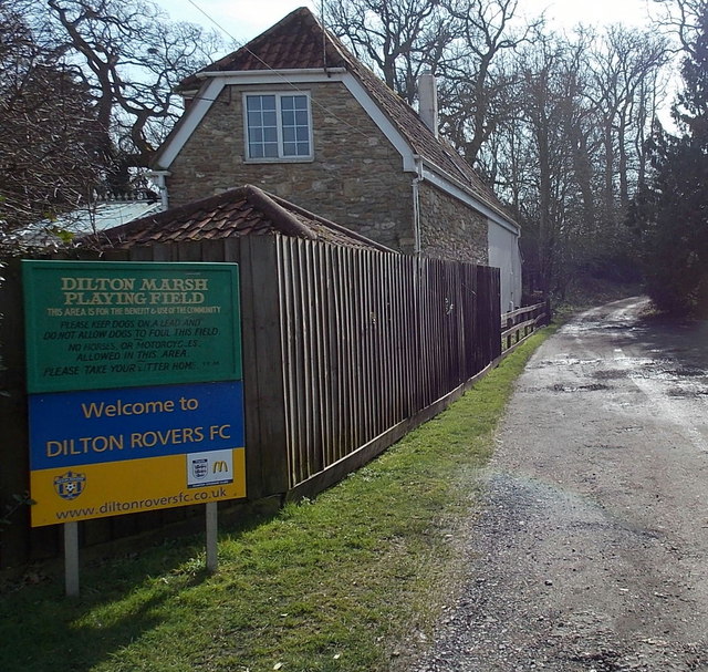
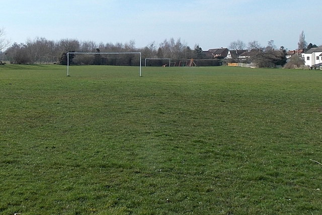
Dilton Marsh

Dilton Marsh is a village and civil parish in the far west of the county of Wiltshire, in the southwest of England. The village is about 1.5 miles (2.4...

Chalcot House

Chalcot House is a Grade II* listed country house to the south of the village of Dilton Marsh, near Westbury, Wiltshire, England, standing in Chalcot Park...

Dilton Marsh railway station

Dilton Marsh railway station serves the village of Dilton Marsh in Wiltshire, England. It is on the Wessex Main Line between Bristol Temple Meads and Southampton...

Church of St Mary, Berkley

The Church of St Mary is a Church of England parish church in Berkley, Somerset. It is a Grade II* listed building built in 1751. == History == The church...

Seymours Court Farmhouse, Beckington

Seymours Court Farmhouse in Beckington, Somerset, England, dates from the 15th century and is a Grade I listed building.It was the home of Thomas Seymour...

Westbury DMU Servicing Depot

Westbury DMU Servicing Depot is a traction maintenance depot located in Westbury, Wiltshire, England. The depot is situated on the Reading to Taunton line...

Nearby Amenities

Located within 500m of 51.256743,-2.2420844
Colour: grey
Design: three-level
Height: 62.01
Line Attachment: suspension
Material: metal
Operator: National Grid
Operator Wikidata: Q1465461
Power: tower
Ref: ZG205
Source: Bing
Start Date: 1960
Structure: lattice
Lat/Long: 51.2591343/-2.2471215
Masters Crossing
Railway: level_crossing
Lat/Long: 51.2572032/-2.2381078
Railway: level_crossing
Lat/Long: 51.2571724/-2.2380707
The data included in this document is from www.openstreetmap.org. The data is made available under ODbL.

Have you been to Tennis Corner Wood?

Leave your review of Tennis Corner Wood below (or comments, questions and feedback).