Round Wood

Wood, Forest in Wiltshire

England

Round Wood

A36 at the bottom of Black Dog Hill Seen from the lay-by to the south of the road.
A36 at the bottom of Black Dog Hill Credit: David Martin

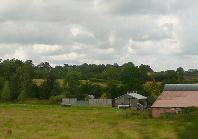
Round Wood is a small woodland located in the county of Wiltshire, England. Situated near the village of Wood, it covers an area of approximately 10 acres and is known for its picturesque beauty and tranquil atmosphere. The wood is predominantly composed of deciduous trees, including oak, beech, and ash, which provide a rich canopy and create a diverse ecosystem.

The woodland is a popular destination for nature enthusiasts and walkers, offering a network of well-maintained footpaths that wind through the trees and meander alongside a gentle stream. These paths provide visitors with the opportunity to explore the wood at their own pace, taking in the sights and sounds of the natural surroundings.

Round Wood is home to a variety of wildlife, with numerous bird species, including woodpeckers and songbirds, inhabiting the area. The woodland also provides a habitat for small mammals such as squirrels, rabbits, and foxes. In the spring and summer months, the forest floor becomes a carpet of wildflowers, adding bursts of color to the landscape.

The wood has a rich history, dating back several centuries. It was once part of a larger estate and has played a significant role in the local community for generations. Today, the woodland is managed by a conservation organization, aiming to preserve its natural beauty and protect the diverse range of plants and animals that call it home.

Overall, Round Wood in Wiltshire offers a peaceful retreat into nature, providing a haven for both wildlife and humans alike. Its scenic trails and abundant flora and fauna make it a delightful destination for those seeking solace in the great outdoors.

If you have any feedback on the listing, please let us know in the comments section below.
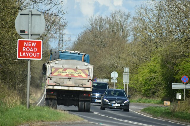
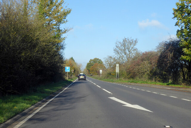
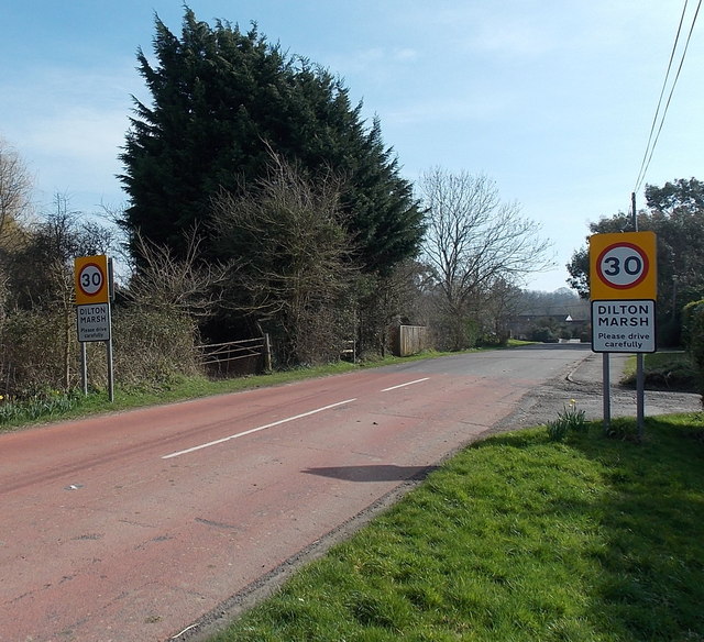
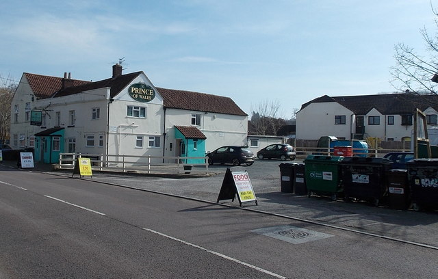
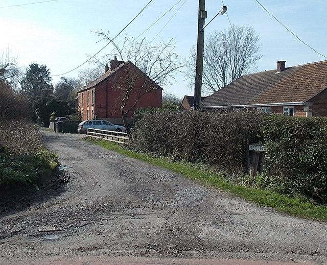
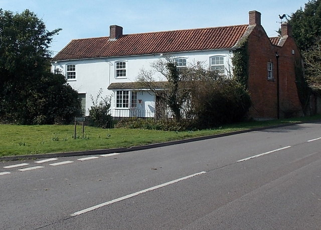
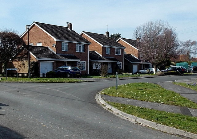
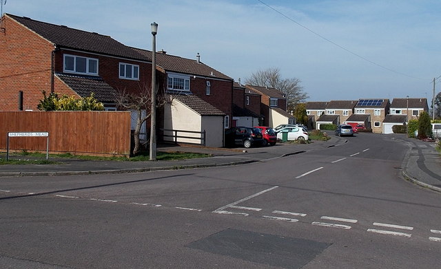
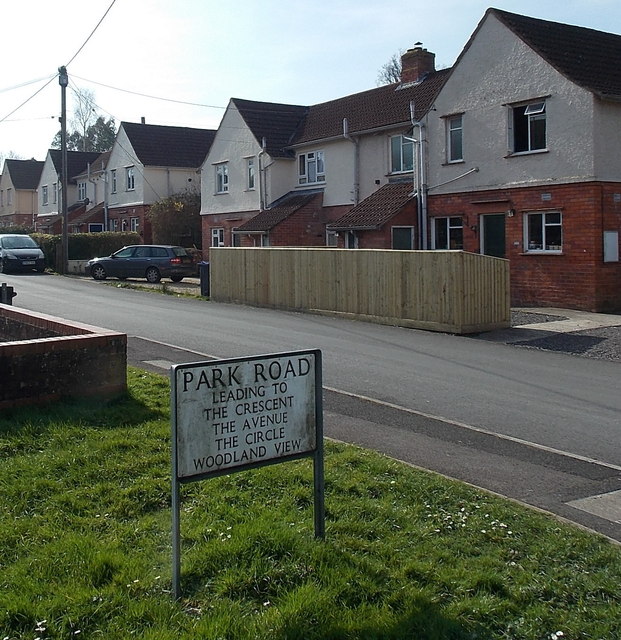
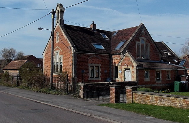
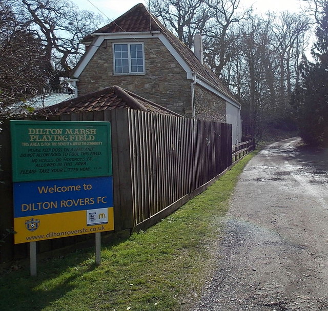
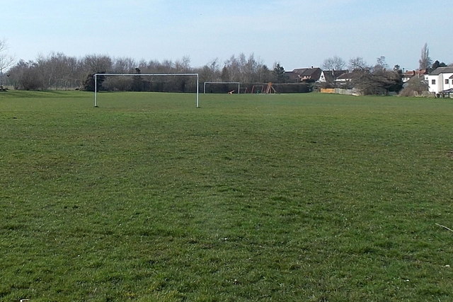
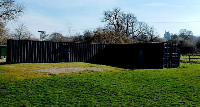
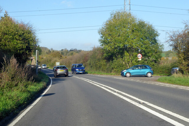
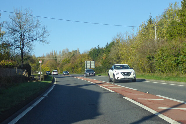
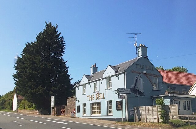
Round Wood Images

Images are sourced within 2km of 51.255156/-2.2439389 or Grid Reference ST8350. Thanks to Geograph Open Source API. All images are credited.

A36 at the bottom of Black Dog Hill Seen from the lay-by to the south of the road.
A36 at the bottom of Black Dog Hill
Seen from the lay-by to the south of the road.
A36 towards Bath
A36 towards Bath
Western boundary of Dilton Marsh The national speed limit along the B3099 reduces to 30mph.
Western boundary of Dilton Marsh
The national speed limit along the B3099 reduces to 30mph.
The Prince of Wales, Dilton Marsh Village pub on the south side of the B3099 High Street. There is a large recycling area on the right.
The Prince of Wales, Dilton Marsh
Village pub on the south side of the B3099 High Street. There is a large recycling area on the right.
Northern end of Red Pit, Dilton Marsh Viewed from the edge of the B3099 Clivey looking along Red Pit towards Stormore.
Northern end of Red Pit, Dilton Marsh
Viewed from the edge of the B3099 Clivey looking along Red Pit towards Stormore.
House on the corner of Clivey and Stormore, Dilton Marsh The junction with Stormore on the left is the point where the B3099 High Street behind the camera become the B3099 Clivey ahead. A Clivey name sign is on the grass in the foreground.
House on the corner of Clivey and Stormore, Dilton Marsh
The junction with Stormore on the left is the point where the B3099 High Street behind the camera become the B3099 Clivey ahead. A Clivey name sign is on the grass in the foreground.
Greenacres, Dilton Marsh Houses on the west side of a cul-de-sac, viewed across Stormore.
Greenacres, Dilton Marsh
Houses on the west side of a cul-de-sac, viewed across Stormore.
Shepherds Mead, Dilton Marsh Shepherds Mead is a long cul-de-sac located between the B3099 High Street and Dilton Marsh Farm.
Shepherds Mead, Dilton Marsh
Shepherds Mead is a long cul-de-sac located between the B3099 High Street and Dilton Marsh Farm.
Park Road, Dilton Marsh Viewed from the corner of High Street. The sign shows that Park Road 
leads to The Crescent, The Avenue, The Circle and Woodland View.
Park Road, Dilton Marsh
Viewed from the corner of High Street. The sign shows that Park Road leads to The Crescent, The Avenue, The Circle and Woodland View.
Interesting building in High Street, Dilton Marsh Viewed from the corner of Alan Powell Lane. The building extends for nearly 20 metres away from the north side of High Street. Now in residential use, it looks like it used to be a church or perhaps a school, but research into its previous usage has been surprisingly fruitless.
Interesting building in High Street, Dilton Marsh
Viewed from the corner of Alan Powell Lane. The building extends for nearly 20 metres away from the north side of High Street. Now in residential use, it looks like it used to be a church or perhaps a school, but research into its previous usage has been surprisingly fruitless.
Welcome to Dilton Rovers FC, Dilton Marsh Viewed from High Street looking south along Alan Powell Lane towards Dilton Marsh Playing Field.
Welcome to Dilton Rovers FC, Dilton Marsh
Viewed from High Street looking south along Alan Powell Lane towards Dilton Marsh Playing Field.
Dilton Marsh Playing Field Located south of High Street, accessed via Alan Powell Lane, <a title="https://www.geograph.org.uk/photo/3958556" href="https://www.geograph.org.uk/photo/3958556">Link</a> 
this is the home ground of Dilton Rovers FC (football club).
Dilton Marsh Playing Field
Located south of High Street, accessed via Alan Powell Lane, Link this is the home ground of Dilton Rovers FC (football club).
Changing rooms building in Dilton Marsh Playing Field The metal building is on the east side of the football pitch. <a title="https://www.geograph.org.uk/photo/3958576" href="https://www.geograph.org.uk/photo/3958576">Link</a>
Changing rooms building in Dilton Marsh Playing Field
The metal building is on the east side of the football pitch. Link
Junction of A36 and B3099 Looking in the Bath direction. The B3099 goes towards Westbury.
Junction of A36 and B3099
Looking in the Bath direction. The B3099 goes towards Westbury.
A36 towards Bath
A36 towards Bath
The Bell at Standerwick
Bremeridge Farm
Bremeridge Farm
Cuzner's Farm Some of the farm buildings visible from the railway line.
This photo was taken from the 1158 Penzance to London Paddington train, having left Castle Cary at 1550.
Cuzner's Farm
Some of the farm buildings visible from the railway line. This photo was taken from the 1158 Penzance to London Paddington train, having left Castle Cary at 1550.
Show me another place!

Round Wood is located at Grid Ref: ST8350 (Lat: 51.255156, Lng: -2.2439389)

Unitary Authority: Wiltshire

Police Authority: Wiltshire

What 3 Words

///agent.vowing.employers. Near Chapmanslade, Wiltshire

Related Wikis

Rudge, Somerset

Rudge is a hamlet in the civil parish of Beckington in the Mendip district of Somerset, England. Its nearest town is Frome. == Location == The hamlet is...

Dilton Marsh

Dilton Marsh is a village and civil parish in the far west of the county of Wiltshire, in the southwest of England. The village is about 1.5 miles (2.4...

Westbury Ironstone Quarry

Westbury Ironstone Quarry (grid reference ST853508) is a 5,600 square metre geological Site of Special Scientific Interest just west of Westbury in Wiltshire...

Chalcot House

Chalcot House is a Grade II* listed country house to the south of the village of Dilton Marsh, near Westbury, Wiltshire, England, standing in Chalcot Park...

Church of St Mary, Berkley

The Church of St Mary is a Church of England parish church in Berkley, Somerset. It is a Grade II* listed building built in 1751. == History == The church...

Dilton Marsh railway station

Dilton Marsh railway station serves the village of Dilton Marsh in Wiltshire, England. It is on the Wessex Main Line between Bristol Temple Meads and Southampton...

Seymours Court Farmhouse, Beckington

Seymours Court Farmhouse in Beckington, Somerset, England, dates from the 15th century and is a Grade I listed building.It was the home of Thomas Seymour...

Chapmanslade

Chapmanslade is a village and civil parish in the county of Wiltshire, in the southwest of England. The parish is on the county border with Somerset and...

Nearby Amenities

Located within 500m of 51.255156,-2.2439389
Colour: grey
Design: three-level
Height: 62.01
Line Attachment: suspension
Material: metal
Operator: National Grid
Operator Wikidata: Q1465461
Power: tower
Ref: ZG205
Source: Bing
Start Date: 1960
Structure: lattice
Lat/Long: 51.2591343/-2.2471215
Colour: grey
Design: three-level
Height: 60.01
Line Attachment: suspension
Material: metal
Operator: National Grid
Operator Wikidata: Q1465461
Power: tower
Ref: ZG204
Source: Bing
Start Date: 1960
Structure: lattice
Lat/Long: 51.2569093/-2.2495852
Masters Crossing
Railway: level_crossing
Lat/Long: 51.2572032/-2.2381078
Railway: level_crossing
Lat/Long: 51.2571724/-2.2380707
The data included in this document is from www.openstreetmap.org. The data is made available under ODbL.

Have you been to Round Wood?

Leave your review of Round Wood below (or comments, questions and feedback).