Ardleigh Green
Settlement in Essex
England
Ardleigh Green

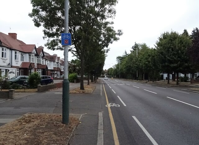
Ardleigh Green is a small suburban area located in the London Borough of Havering, Essex. Situated approximately 15 miles northeast of central London, it forms part of the larger Harold Hill ward. The area is predominantly residential, characterized by a mix of semi-detached and terraced houses.
Ardleigh Green benefits from its close proximity to several green spaces, including Central Park and Harrow Lodge Park, providing residents with ample opportunities for outdoor recreation and leisure activities. The nearby Hainault Forest Country Park also offers beautiful woodland trails and a lake for boating enthusiasts.
The area is well-served by public transport, with Ardleigh Green railway station providing regular services to London Liverpool Street, making it an attractive location for commuters. Additionally, several bus routes pass through the area, connecting residents to nearby towns and London Underground stations.
Ardleigh Green is home to a range of amenities, including local shops, supermarkets, and restaurants, providing residents with convenient access to everyday necessities. The area also boasts a number of well-regarded schools, making it popular with families.
Overall, Ardleigh Green offers a peaceful and suburban lifestyle within easy reach of both the bustling city of London and the natural beauty of the surrounding countryside. Its combination of convenient transport links, green spaces, and amenities make it an appealing place to live for individuals and families alike.
If you have any feedback on the listing, please let us know in the comments section below.
Ardleigh Green Images
Images are sourced within 2km of 51.583377/0.215592 or Grid Reference TQ5389. Thanks to Geograph Open Source API. All images are credited.


Ardleigh Green is located at Grid Ref: TQ5389 (Lat: 51.583377, Lng: 0.215592)
Unitary Authority: Havering
Police Authority: Metropolitan
What 3 Words
///sings.lunch.fumes. Near Harold Wood, London
Nearby Locations
Related Wikis

Ardleigh Green
Ardleigh Green is an area in east London, England, within the London Borough of Havering. It is 15.5 miles (25 km) east-northeast of Charing Cross. This...
Gidea Park Carriage Holding Sidings
Gidea Park Carriage Holding Sidings is a stabling point located in Gidea Park, Greater London, England. The depot is situated on the Great Eastern Main...

Royal Liberty School
The Royal Liberty School is a secondary school for boys aged 11 to 16, located in Gidea Park in the London Borough of Havering, England.The school is situated...

Hornchurch and Upminster (UK Parliament constituency)
Hornchurch and Upminster is a constituency in Greater London represented in the House of Commons of the UK Parliament by Julia Lopez, a member of the Conservative...

Havering College of Further and Higher Education
Havering College of Further and Higher Education is a college founded in 1947 in the London Borough of Havering that provides part-time and full-time education...
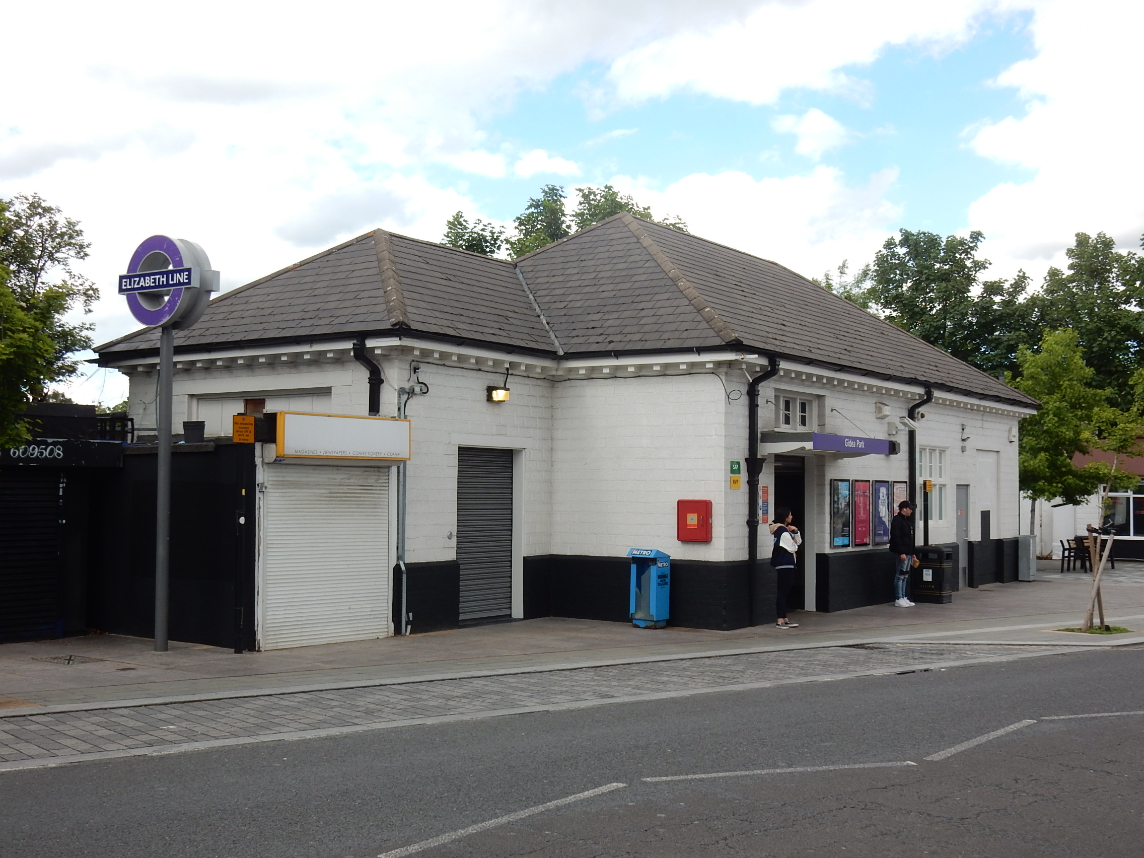
Gidea Park railway station
Gidea Park railway station is on the Great Eastern Main Line, serving the neighbourhood of Gidea Park in Romford, located in the London Borough of Havering...
Haynes Park (London)
Haynes Park is a public park in Hornchurch in the London Borough of Havering. It is owned and managed by Havering London Borough Council and has Green...
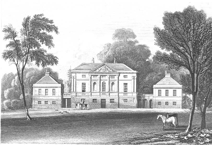
Hare Hall
Hare Hall is a house and grounds located in Gidea Park in the London Borough of Havering, east London. It was built in 1769–70 as a country house for John...
Nearby Amenities
Located within 500m of 51.583377,0.215592Have you been to Ardleigh Green?
Leave your review of Ardleigh Green below (or comments, questions and feedback).