Ardlawhill

Settlement in Aberdeenshire

Scotland

Ardlawhill

Minor road near Hindstones
Minor road near Hindstones Credit: Steven Brown

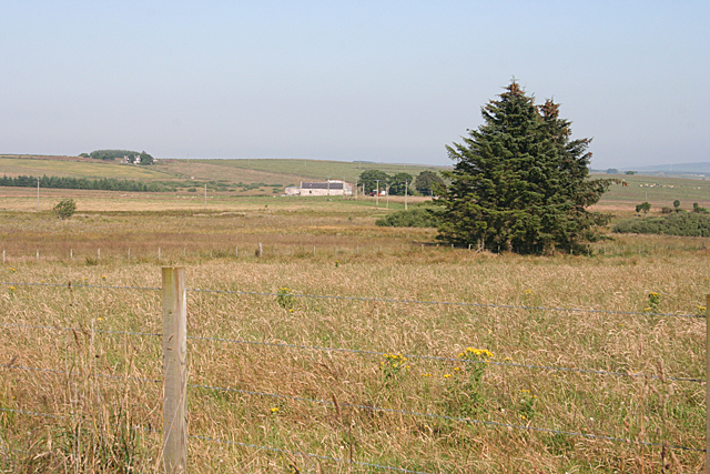
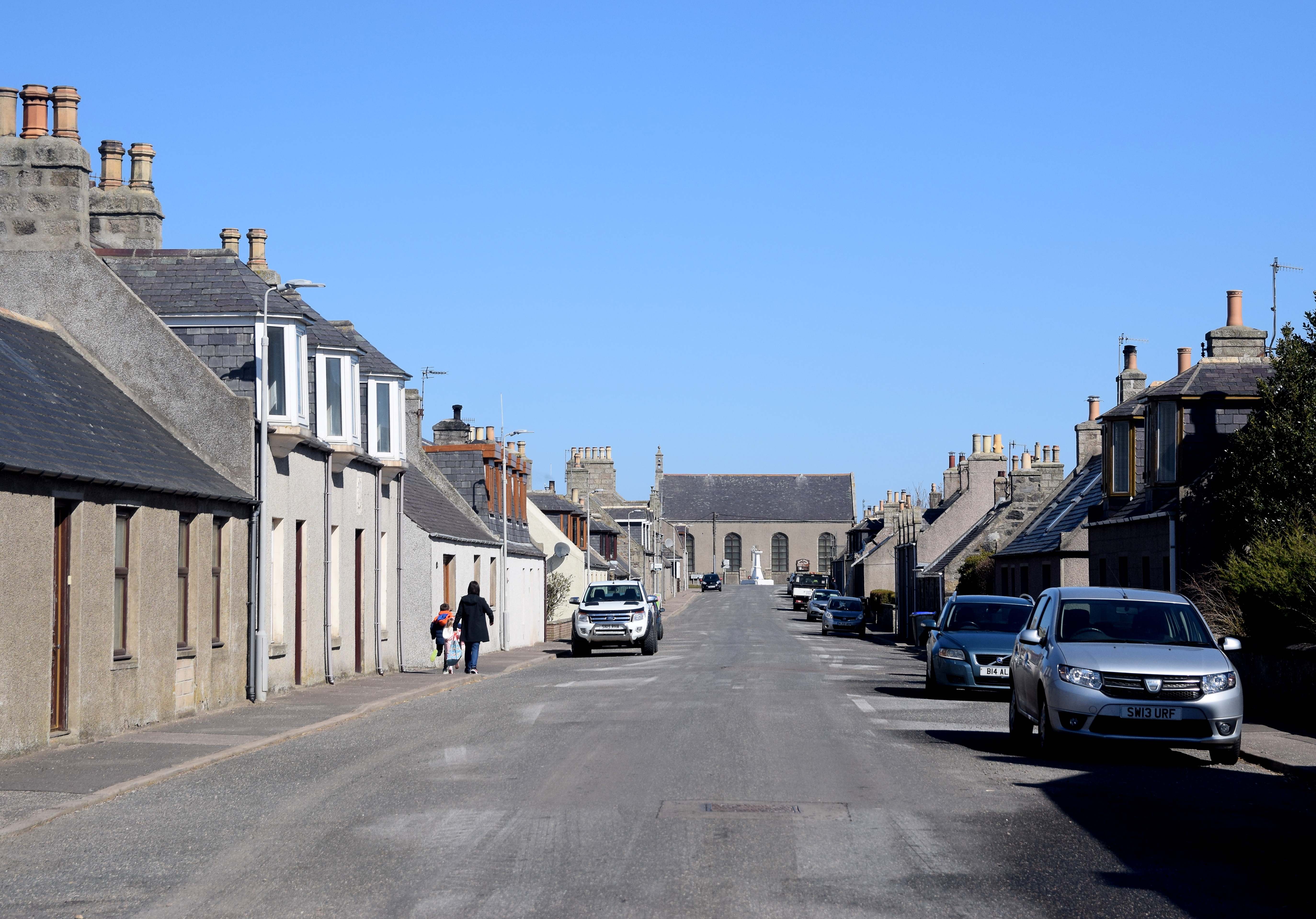
Ardlawhill is a small rural village located in Aberdeenshire, Scotland. Situated approximately 15 miles northwest of Aberdeen, the village lies in the heart of the picturesque countryside, surrounded by rolling hills and lush green fields.

With a population of around 300 residents, Ardlawhill offers a peaceful and tranquil setting for those seeking an escape from the hustle and bustle of city life. The village is known for its close-knit community, where neighbors often gather for social events and support one another.

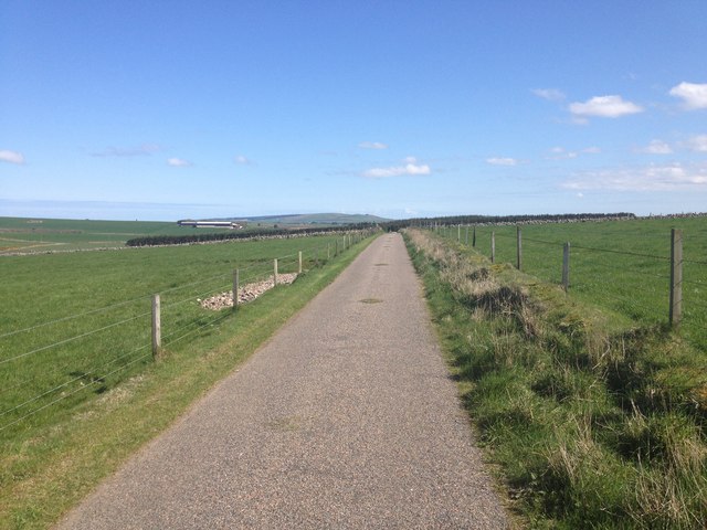
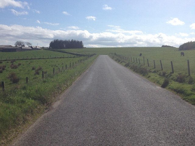
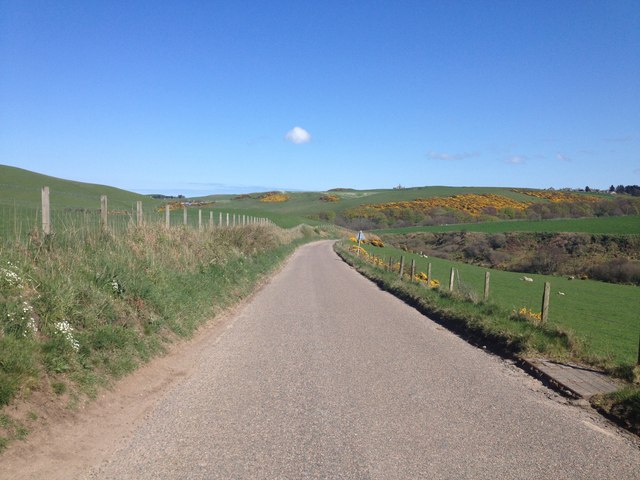
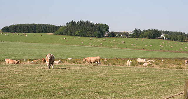
Ardlawhill is primarily an agricultural community, with farming being the main source of income for many residents. The fertile soil and favorable climate provide ideal conditions for growing crops and raising livestock. As a result, the village is dotted with farms and fields, creating a picturesque landscape that reflects the traditional Scottish countryside.

In terms of amenities, Ardlawhill has a small local shop that caters to the daily needs of its residents. However, for more extensive shopping and services, residents often visit nearby towns and cities. The village also boasts a charming primary school, providing education for the younger members of the community.

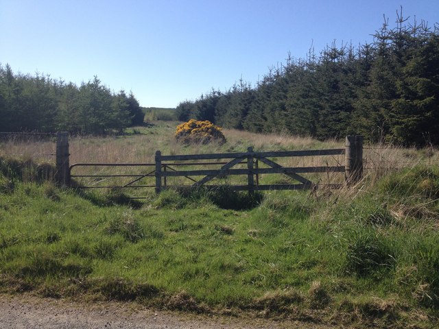
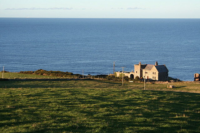
For outdoor enthusiasts, Ardlawhill offers plenty of opportunities for exploration and recreation. The surrounding countryside is crisscrossed with walking trails, allowing residents and visitors to immerse themselves in the natural beauty of the area. Additionally, the nearby River Don provides opportunities for fishing and boating.

In summary, Ardlawhill is a serene and picturesque village in Aberdeenshire, Scotland. With its strong sense of community, agricultural heritage, and stunning natural surroundings, it offers a peaceful and idyllic lifestyle for its residents.

If you have any feedback on the listing, please let us know in the comments section below.
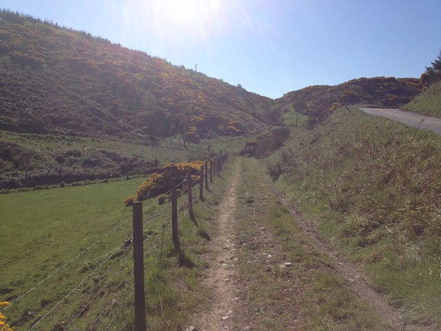
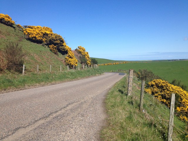
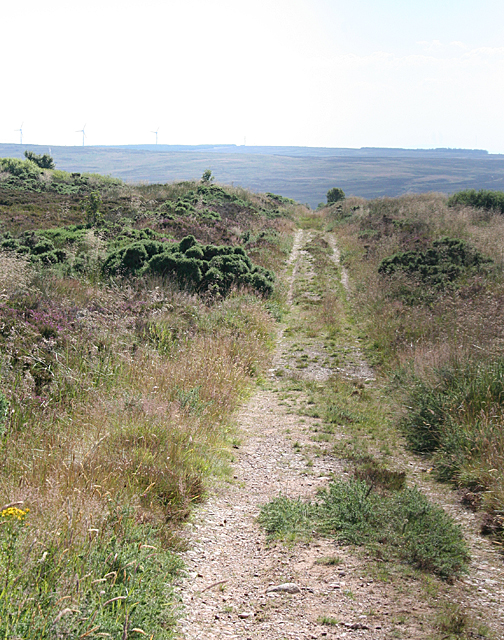
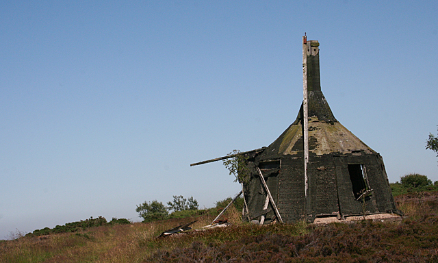
Ardlawhill Images

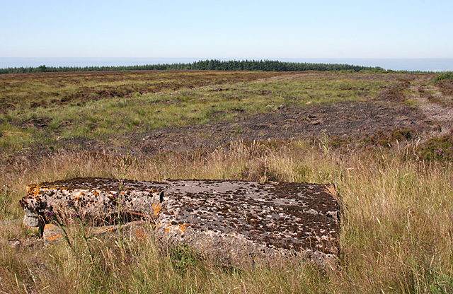
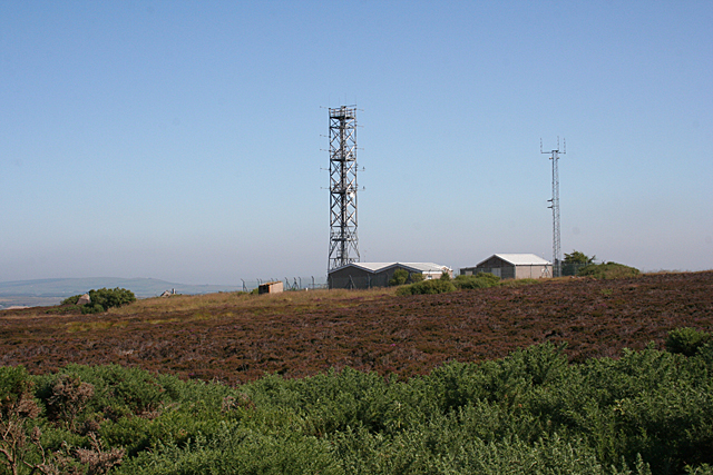
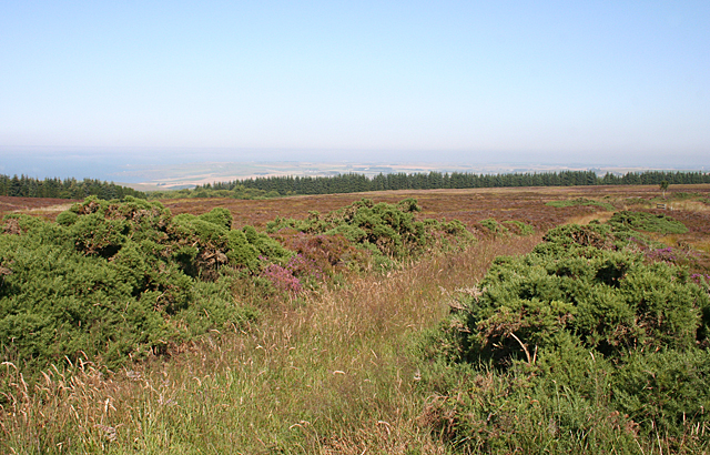
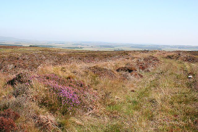
Images are sourced within 2km of 57.647729/-2.2194524 or Grid Reference NJ8762. Thanks to Geograph Open Source API. All images are credited.

Minor road near Hindstones
Minor road near North Cowfords
Minor road near New Aberdour
Forestry near New Aberdour
B9031 near Towie
B9031 near Towie
Farm track near Towie
B9031 near Towie
B9031 near Towie
Track to the Moss of Kinbeam The track is arrow-straight for almost a mile from here before it bends to descend into the den and cross to the other side.
Track to the Moss of Kinbeam
The track is arrow-straight for almost a mile from here before it bends to descend into the den and cross to the other side.
A Strange Structure I had no idea what this is, or rather was, before someone set fire to it. Compare with <a href="https://www.geograph.org.uk/photo/317502">NJ8562 : Unidentified air warning system on Windyheads Hill.</a>. The explanation is at <span class="nowrap"><a title="http://canmore.rcahms.gov.uk/en/site/285843/details/windyheads+hill+gee+station+vhf+and+df+building/" rel="nofollow ugc noopener" href="http://canmore.rcahms.gov.uk/en/site/285843/details/windyheads+hill+gee+station+vhf+and+df+building/">Link</a><img style="margin-left:2px;" alt="External link" title="External link - shift click to open in new window" src="https://s1.geograph.org.uk/img/external.png" width="10" height="10"/></span>
A Strange Structure
I had no idea what this is, or rather was, before someone set fire to it. Compare with NJ8562 : Unidentified air warning system on Windyheads Hill.. The explanation is at LinkExternal link
Military Remains? There are all sorts of bits of concrete in the heather that look as if they might have been military installations.
Military Remains?
There are all sorts of bits of concrete in the heather that look as if they might have been military installations.
Radio Masts on Windyheads Hill I see that this has something to do with air traffic control.
Radio Masts on Windyheads Hill
I see that this has something to do with air traffic control.
Track to Helenamore The older map shows this track going on to Helenamore. However the later maps suggest that is actually fizzles out, so it's just as well I didn't try to go the whole way along it.
Track to Helenamore
The older map shows this track going on to Helenamore. However the later maps suggest that is actually fizzles out, so it's just as well I didn't try to go the whole way along it.
Track on Windyheads Hill This track goes nowhere - it just stops in the middle of the moor.
Track on Windyheads Hill
This track goes nowhere - it just stops in the middle of the moor.
Ten Padlocks Interesting how many different people or organisations apparently need access to Windyheads Hill. I am still trying to deduce exactly how this system works. I surmise that removing one of the vertical blocks allows the rest to be pushed aside just far enough to slide the bolt over.
Ten Padlocks
Interesting how many different people or organisations apparently need access to Windyheads Hill. I am still trying to deduce exactly how this system works. I surmise that removing one of the vertical blocks allows the rest to be pushed aside just far enough to slide the bolt over.
Aerial on Windyheads Hill I don't know what this aerial is for, but it must be for some sort of military purpose because the sign reads, "M O D Property".
Aerial on Windyheads Hill
I don't know what this aerial is for, but it must be for some sort of military purpose because the sign reads, "M O D Property".
Windyheads Hill The map shows a triangulation pillar close to the aerial on the left, but I could not find it. Either the map is misleading, or the trig point has been swallowed up in the vegetation.
Windyheads Hill
The map shows a triangulation pillar close to the aerial on the left, but I could not find it. Either the map is misleading, or the trig point has been swallowed up in the vegetation.
South Broadleys Rough vegetation on low-lying land near South Broadleys.
South Broadleys
Rough vegetation on low-lying land near South Broadleys.
Cattle near North Broadleys. The farm in the background is Cowfords, in the next square.
Cattle near North Broadleys.
The farm in the background is Cowfords, in the next square.
Show me another place!

Ardlawhill is located at Grid Ref: NJ8762 (Lat: 57.647729, Lng: -2.2194524)

Unitary Authority: Aberdeenshire

Police Authority: North East

What 3 Words

///promote.entitle.correctly. Near New Pitsligo, Aberdeenshire

Nearby Locations

Ardlawhill

Related Wikis

Related Videos

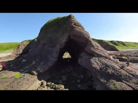
Drone footage - New Aberdour, Lossiemouth and Loch Black, Scotland

Two nights camping at New Aberdour, Stopping off near Lossiemouth then near Grantown On Spey before home.

An electric bumblebee trip to the North east of Scotland: New Aberdour beach.

Beautiful little spot of nature. Ideal for some light flying Filmed with the DJI FPV drone 2022.

Nearby Amenities

Located within 500m of 57.647729,-2.2194524
Power: pole
Lat/Long: 57.6502831/-2.2131628
Power: pole
Lat/Long: 57.6495627/-2.2133238
Power: pole
Lat/Long: 57.6489354/-2.2134695
Power: pole
Lat/Long: 57.6483349/-2.2135935
Power: pole
Lat/Long: 57.6476192/-2.2137762
Power: pole
Lat/Long: 57.6471827/-2.2140567
Power: pole
Lat/Long: 57.6465496/-2.2145091
Power: pole
Lat/Long: 57.6458786/-2.2149887
Power: pole
Lat/Long: 57.645203/-2.2151681
Power: pole
Lat/Long: 57.6445407/-2.2152899
Power: pole
Lat/Long: 57.6438354/-2.2154291
Power: pole
Lat/Long: 57.648378/-2.2148614
Power: pole
Lat/Long: 57.6484304/-2.2161316
Power: pole
Lat/Long: 57.6484792/-2.2174147
Power: pole
Lat/Long: 57.648527/-2.218761
Power: pole
Lat/Long: 57.6485817/-2.2200289
Power: pole
Lat/Long: 57.645576/-2.2128594
Power: pole
Lat/Long: 57.6457215/-2.2139251
The data included in this document is from www.openstreetmap.org. The data is made available under ODbL.

Have you been to Ardlawhill?

Leave your review of Ardlawhill below (or comments, questions and feedback).