Ardkenneth

Settlement in Inverness-shire

Scotland

Ardkenneth

Saltmarsh near Balgarva
Saltmarsh near Balgarva Credit: Hugh Venables

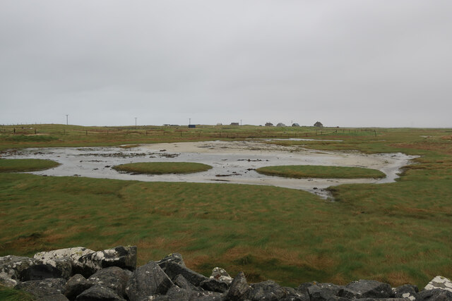
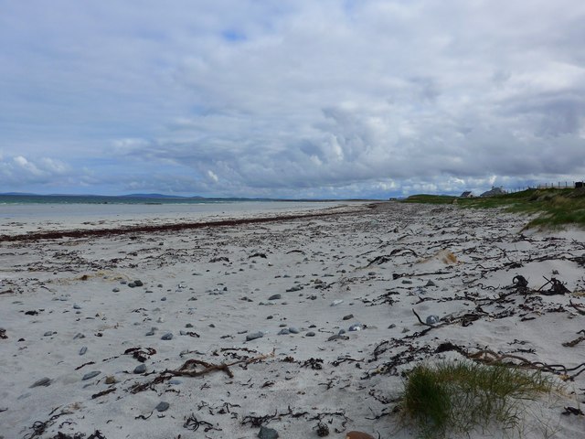
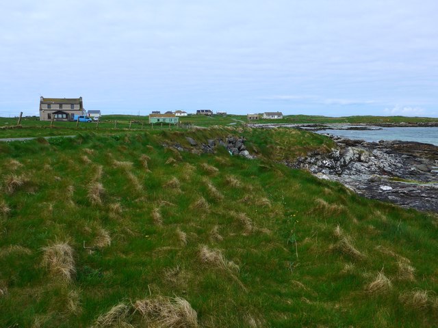
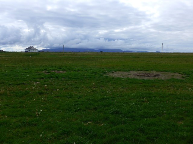
Ardkenneth is a small village located in the Inverness-shire region of Scotland. Situated on the western coast, it is nestled between the scenic Loch Torridon and the majestic mountains of the Torridon Range. The village is part of the wider Torridon region, which is renowned for its breathtaking landscapes and outdoor activities.

Despite its small size, Ardkenneth offers visitors a unique experience with its tranquil atmosphere and stunning natural beauty. The village is surrounded by lush greenery, rolling hills, and sparkling lochs, providing ample opportunities for hiking, fishing, and wildlife spotting. Its remote location is ideal for those seeking peace and solitude away from the hustle and bustle of city life.

The main feature of Ardkenneth is its picturesque Loch Torridon, which attracts visitors from near and far. The loch is a haven for water sports enthusiasts, with activities such as kayaking, sailing, and fishing being popular choices. The surrounding mountains also offer excellent opportunities for hillwalking and climbing, with trails to suit various skill levels.

In terms of amenities, Ardkenneth is limited, with only a few small shops and accommodation options available. However, the village's proximity to nearby towns such as Shieldaig and Torridon ensures that essential services and facilities are easily accessible.

Overall, Ardkenneth is a hidden gem in Inverness-shire, offering a peaceful retreat and a chance to immerse oneself in the stunning natural beauty of the Scottish Highlands.

If you have any feedback on the listing, please let us know in the comments section below.
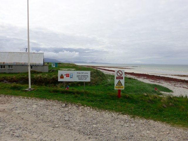
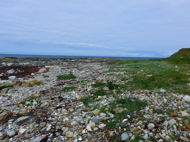
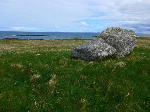
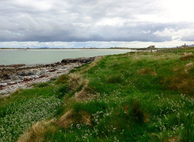
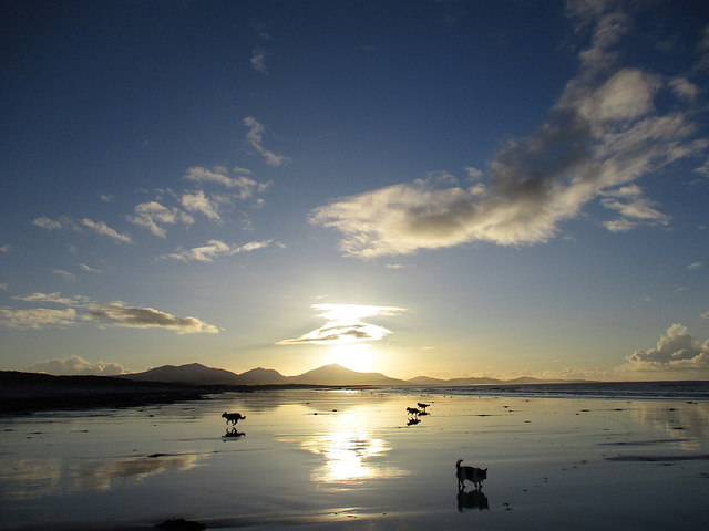
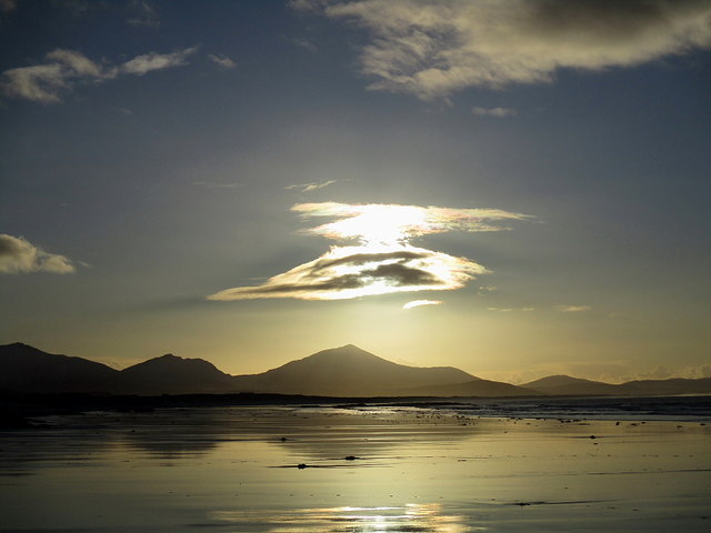
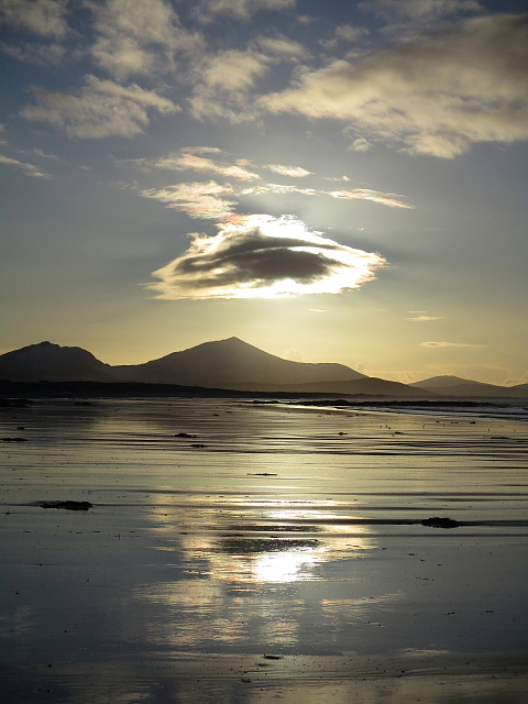
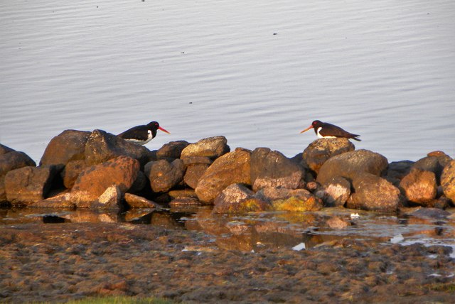
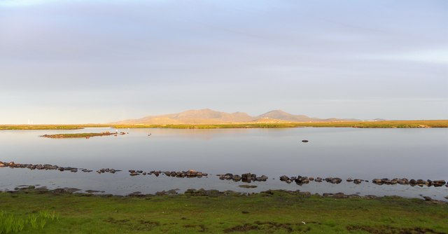
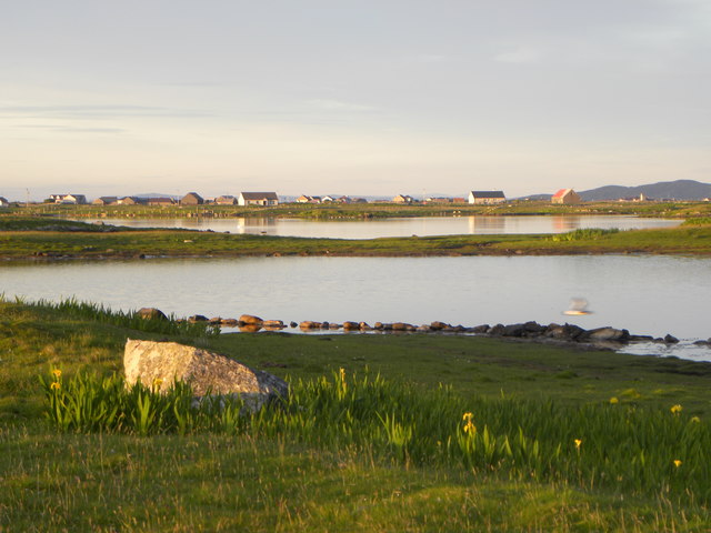
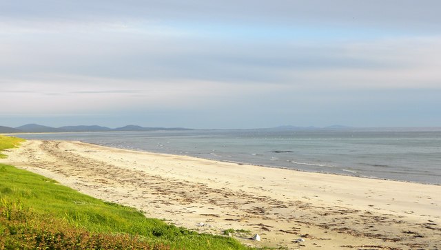
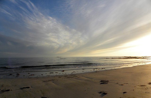
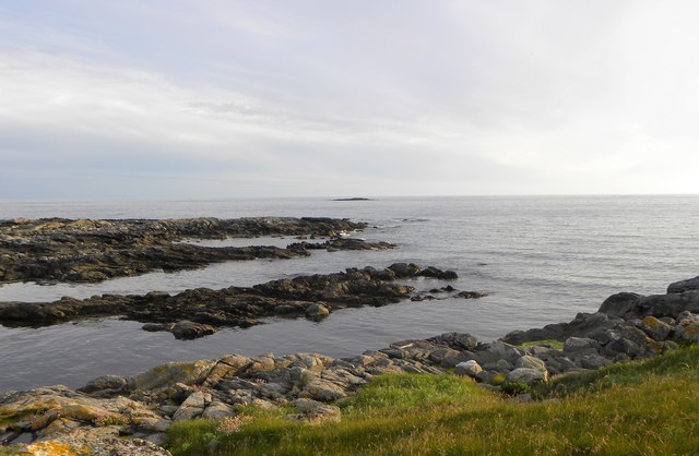
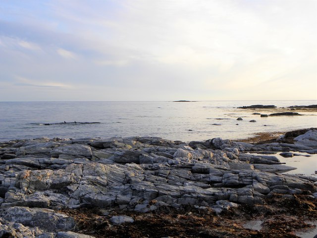
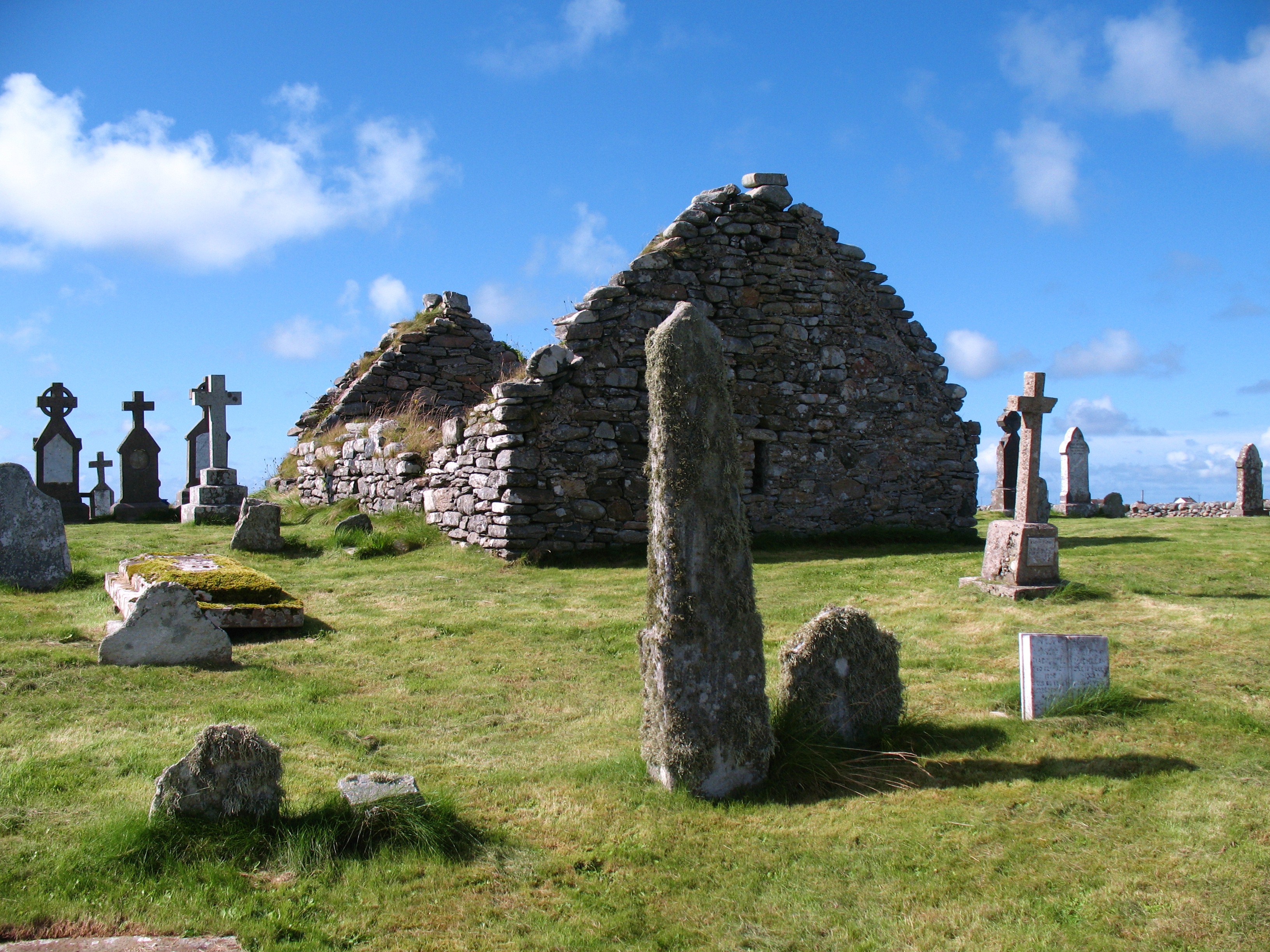
Ardkenneth Images

Images are sourced within 2km of 57.387897/-7.4112191 or Grid Reference NF7546. Thanks to Geograph Open Source API. All images are credited.

Saltmarsh near Balgarva
Bagh a Tuath Translation - North Bay.  There are so many wonderful beaches in the Hebrides that frequently they are simply named for how they face - west, north, east or south.
Bagh a Tuath
Translation - North Bay. There are so many wonderful beaches in the Hebrides that frequently they are simply named for how they face - west, north, east or south.
The coast at Ardivachar
Houses at Kilaulay It looks as though perhaps a cattle feeder has been positioned then removed to make the circular pattern in the grass.
Houses at Kilaulay
It looks as though perhaps a cattle feeder has been positioned then removed to make the circular pattern in the grass.
Northern entry to the South Uist Firing range The range head lies here at West Gerinish, where the ground launch areas are sited and provide missile launching, preparation and maintenance facilities. 

On the day we visited the range was quiet - no red flag flying.
Northern entry to the South Uist Firing range
The range head lies here at West Gerinish, where the ground launch areas are sited and provide missile launching, preparation and maintenance facilities. On the day we visited the range was quiet - no red flag flying.
The shore at Ardivachar
Near the shore at Rubha Aird na Machrach
Looking across Bagh a Tuath In English, 'North Bay'.

The houses are at Kilaulay.
Looking across Bagh a Tuath
In English, 'North Bay'. The houses are at Kilaulay.
Beach South of Ardivachar Low tide and low sun on the beach.
Beach South of Ardivachar
Low tide and low sun on the beach.
Beach South of Ardivachar Unusual cloud over the distant hills.
Beach South of Ardivachar
Unusual cloud over the distant hills.
Sandy Reflections Low tide on the beach south of Ardivachar.
Sandy Reflections
Low tide on the beach south of Ardivachar.
Oystercatchers at Loch Bi You are never far from the loud piping calls of oystercatchers on the Uists. These two appeared to be having a chat on the edge of Loch Bi.
Oystercatchers at Loch Bi
You are never far from the loud piping calls of oystercatchers on the Uists. These two appeared to be having a chat on the edge of Loch Bi.
Evening light, Loch Bi One curious feature here is the line of stones just offshore and shown on the OS map as a boundary. One would hardly consider this as a wall.
Evening light, Loch Bi
One curious feature here is the line of stones just offshore and shown on the OS map as a boundary. One would hardly consider this as a wall.
Across a corner of Loch Bi Loch Bi is an extensive area of brackish water extending across much of the northern end of South Uist and almost cutting it in half. This view is across one small inlet towards houses at Lochdar.
Across a corner of Loch Bi
Loch Bi is an extensive area of brackish water extending across much of the northern end of South Uist and almost cutting it in half. This view is across one small inlet towards houses at Lochdar.
Northern end of South Uist's big beach This white sand beach stretches almost all the way down the west side of South Uist. Generally plenty of room to erect your deck chair without getting too close to others.
Northern end of South Uist's big beach
This white sand beach stretches almost all the way down the west side of South Uist. Generally plenty of room to erect your deck chair without getting too close to others.
Evening light on the beach Around 10pm on a June evening with light slowly fading over the Atlantic.
Evening light on the beach
Around 10pm on a June evening with light slowly fading over the Atlantic.
Geo Bhata A small rocky bay at Aird a Mhachair.
Geo Bhata
A small rocky bay at Aird a Mhachair.
Rocky foreshore, Geo Bhata Looking out to sea along a reef at Geo Bhata.
Rocky foreshore, Geo Bhata
Looking out to sea along a reef at Geo Bhata.
Show me another place!

Ardkenneth is located at Grid Ref: NF7546 (Lat: 57.387897, Lng: -7.4112191)

Unitary Authority: Na h-Eileanan an Iar

Police Authority: Highlands and Islands

Also known as: Aird Choinnich

What 3 Words

///trio.desiring.conductor. Near Balivanich, Na h-Eileanan Siar

Related Wikis

Kilaulay

Kilaulay (Scottish Gaelic: Cill Amhlaigh / Cill Amhlaidh ) is a crofting township on the island of South Uist, in the Outer Hebrides of Scotland. Kilaulay...

Balgarva

Balgarva (Scottish Gaelic: Baile Gharbhaidh) is a crofting settlement on South Uist in the Outer Hebrides, Scotland. Balgarva is within the parish of South...

Iochdar

Iochdar (Scottish Gaelic: An t-Ìochdair), also spelled Eochar, is a hamlet and community on the west coast of the island of South Uist, in the Outer Hebrides...

Loch Bee

Loch Bì, sometimes anglicised as Loch Bee, is the largest loch on the island of South Uist in the Outer Hebrides of Scotland. It lies at the northern end...

Carnan (townland)

Carnan is a townland in County Tyrone, Northern Ireland. It is situated in the historic barony of Dungannon Upper and the civil parish of Arboe and covers...

Borve Castle, Benbecula

Borve Castle, also known as Castle Wearie, and Caisteal Bhuirgh in Scottish Gaelic, is a ruined 14th-century tower house, located at the south-west of...

Our Lady of the Isles

Our Lady of the Isles (Gaelic: Moire ro Naomh nan Eilean or Bana Thighearna nan Eilean) is a sculpture of the Madonna and Child, on South Uist in the Outer...

Nunton, Benbecula

Nunton (Scottish Gaelic: Baile nan Cailleach) is a settlement on Benbecula in the Outer Hebrides, Scotland. Nunton is within the parish of South Uist,...

Nearby Amenities

Located within 500m of 57.387897,-7.4112191
Cill Amhlaidh
Alt Name Gd: Cill Amhlaigh
Name En: Kilaulay
Name Gd: Cill Amhlaidh
Place: hamlet
Wikidata: Q6406521
Wikipedia: en:Kilaulay
Lat/Long: 57.3893219/-7.4062658
Barrier: cattle_grid
Lat/Long: 57.388192/-7.4070161
Turning Circle
Lat/Long: 57.3859201/-7.4185543
Barrier: cattle_grid
Lat/Long: 57.3869722/-7.4155448
Power: pole
Lat/Long: 57.3856922/-7.418039
Power: pole
Lat/Long: 57.3858541/-7.4169071
Power: pole
Lat/Long: 57.3859452/-7.4157511
Power: pole
Lat/Long: 57.3860825/-7.4145897
Power: pole
Lat/Long: 57.3862228/-7.4132406
Power: pole
Lat/Long: 57.3863254/-7.4122857
Power: pole
Lat/Long: 57.3864497/-7.411194
Power: pole
Lat/Long: 57.3865668/-7.4100782
Power: pole
Lat/Long: 57.3866897/-7.4089624
Power: pole
Lat/Long: 57.3868212/-7.4078413
Power: pole
Lat/Long: 57.3870106/-7.4060764
Power: pole
Lat/Long: 57.3867374/-7.4048292
Power: pole
Lat/Long: 57.3865321/-7.4038957
Passing Place
Lat/Long: 57.3872124/-7.4145676
Power: pole
Lat/Long: 57.3869428/-7.4067086
Power: pole
Lat/Long: 57.3883174/-7.4074099
Power: pole
Lat/Long: 57.3889944/-7.4072332
Power: pole
Lat/Long: 57.3895992/-7.4067537
Power: pole
Lat/Long: 57.3872/-7.4077448
Power: pole
Lat/Long: 57.3877298/-7.4075626
Barrier: cattle_grid
Lat/Long: 57.3900063/-7.4064162
Telephone
Booth: K6
Covered: booth
Operator: BT
Phone: +44 1870 610277
Lat/Long: 57.3875863/-7.4071754
The data included in this document is from www.openstreetmap.org. The data is made available under ODbL.

Have you been to Ardkenneth?

Leave your review of Ardkenneth below (or comments, questions and feedback).