Cratfield

Settlement in Suffolk East Suffolk

England

Cratfield

Avian Influenza (Bird Flu) Sign Avian influenza (bird flu) sign on a minor road between Swan Green and Cratfield Suffolk. This is the entrance to the 10 kilometre surveillance zone more info see <span class="nowrap"><a title="http://www.bbc.co.uk/suffolk/content/articles/2007/02/05/bird_flu_holton_reaction_feature.shtml" rel="nofollow ugc noopener" href="http://www.bbc.co.uk/suffolk/content/articles/2007/02/05/bird_flu_holton_reaction_feature.shtml">Link</a><img style="margin-left:2px;" alt="External link" title="External link - shift click to open in new window" src="https://s1.geograph.org.uk/img/external.png" width="10" height="10"/></span> for close up of sign see <a title="https://www.geograph.org.uk/photo/339930" href="https://www.geograph.org.uk/photo/339930">Link</a>
Avian Influenza (Bird Flu) Sign Credit: Keith Evans

Cratfield is a small village located in the county of Suffolk, England. Situated approximately 20 miles northeast of Ipswich, it is a relatively secluded and rural area surrounded by picturesque countryside. With a population of around 200 residents, Cratfield is a close-knit community characterized by its quiet and tranquil atmosphere.

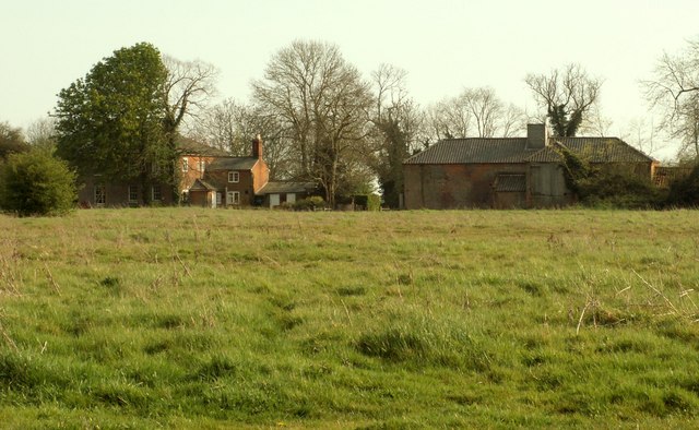
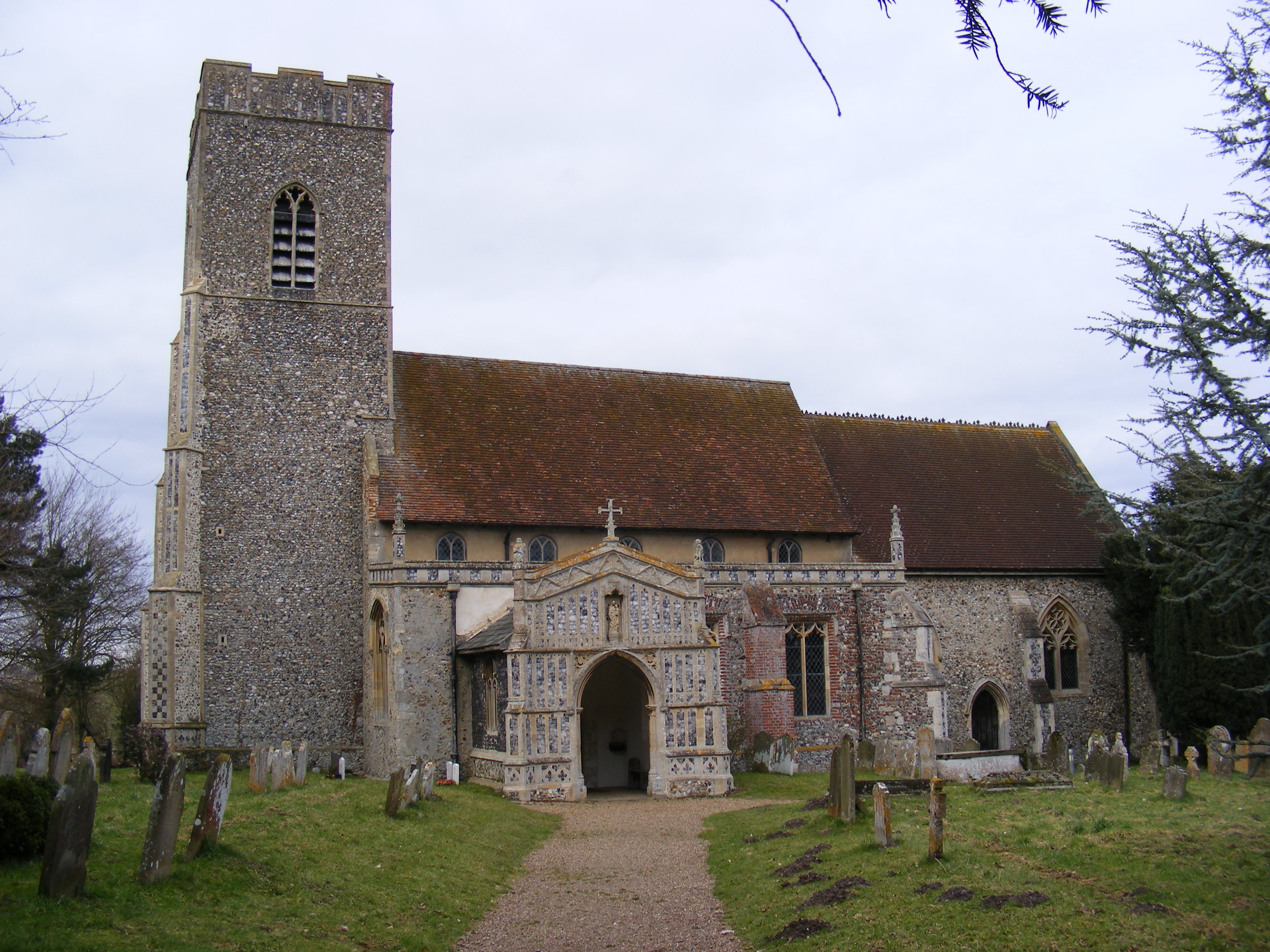
The village boasts a rich history, with records of its existence dating back to the Domesday Book of 1086. Cratfield's charm lies in its traditional English architecture, comprising a mix of thatched cottages, timber-framed houses, and historic buildings. St. Mary's Church, a Grade I listed medieval church, stands as a prominent landmark in the village, showcasing beautiful Norman and Gothic architectural elements.

Despite its small size, Cratfield offers a range of amenities for its residents. The village has a local pub, The Golden Key, which serves as a meeting place for locals and visitors alike. Additionally, a village hall provides a space for community events and gatherings. The surrounding countryside offers excellent opportunities for outdoor activities, including walking, cycling, and exploring the scenic landscape.

Cratfield is well-connected to nearby towns and cities by road, making it an ideal location for those seeking a peaceful retreat while remaining within reach of urban amenities. The village also benefits from its proximity to the Suffolk Heritage Coast, allowing residents to enjoy the beauty of the coastline and its attractions.

In summary, Cratfield is a charming village in Suffolk, known for its historical significance, traditional architecture, and close community. It offers a peaceful and idyllic setting, making it an attractive destination for those seeking a tranquil rural lifestyle.

If you have any feedback on the listing, please let us know in the comments section below.
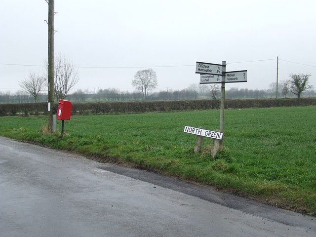
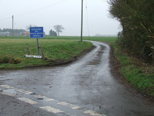
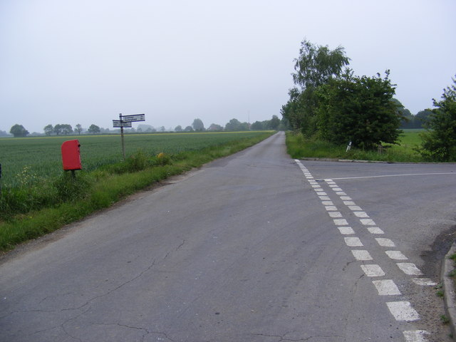
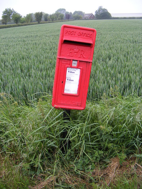
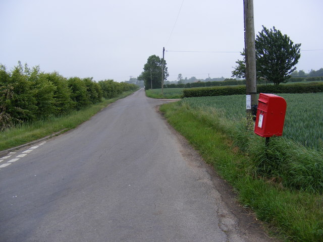
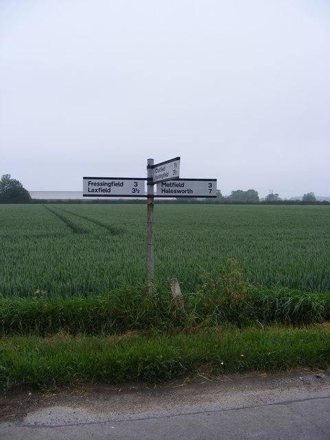
Cratfield Images

Images are sourced within 2km of 52.326336/1.390997 or Grid Reference TM3175. Thanks to Geograph Open Source API. All images are credited.

Avian Influenza (Bird Flu) Sign Avian influenza (bird flu) sign on a minor road between Swan Green and Cratfield Suffolk. This is the entrance to the 10 kilometre surveillance zone more info see <span class="nowrap"><a title="http://www.bbc.co.uk/suffolk/content/articles/2007/02/05/bird_flu_holton_reaction_feature.shtml" rel="nofollow ugc noopener" href="http://www.bbc.co.uk/suffolk/content/articles/2007/02/05/bird_flu_holton_reaction_feature.shtml">Link</a><img style="margin-left:2px;" alt="External link" title="External link - shift click to open in new window" src="https://s1.geograph.org.uk/img/external.png" width="10" height="10"/></span> for close up of sign see <a title="https://www.geograph.org.uk/photo/339930" href="https://www.geograph.org.uk/photo/339930">Link</a>
Avian Influenza (Bird Flu) Sign
Avian influenza (bird flu) sign on a minor road between Swan Green and Cratfield Suffolk. This is the entrance to the 10 kilometre surveillance zone more info see LinkExternal link for close up of sign see Link
Avian Influenza (Bird Flu) Sign Close up of an avian influenza (bird flu) sign on a minor road between Swan Green and Cratfield Suffolk. This is the entrance to the 10 kilometre surveillance zone more info see <span class="nowrap"><a title="http://www.bbc.co.uk/suffolk/content/articles/2007/02/05/bird_flu_holton_reaction_feature.shtml" rel="nofollow ugc noopener" href="http://www.bbc.co.uk/suffolk/content/articles/2007/02/05/bird_flu_holton_reaction_feature.shtml">Link</a><img style="margin-left:2px;" alt="External link" title="External link - shift click to open in new window" src="https://s1.geograph.org.uk/img/external.png" width="10" height="10"/></span> for view of the rural location see <a title="https://www.geograph.org.uk/photo/339925" href="https://www.geograph.org.uk/photo/339925">Link</a>
Avian Influenza (Bird Flu) Sign
Close up of an avian influenza (bird flu) sign on a minor road between Swan Green and Cratfield Suffolk. This is the entrance to the 10 kilometre surveillance zone more info see LinkExternal link for view of the rural location see Link
Looking across to Hall Cottage
Road junction Road junction North Green Suffolk.
Road junction
Road junction North Green Suffolk.
Spong lane Spong lane near to Little Whittingham Green Suffolk.
Spong lane
Spong lane near to Little Whittingham Green Suffolk.
Green track Looking north west along Tongs Lane near to Cratfield Suffolk.
Green track
Looking north west along Tongs Lane near to Cratfield Suffolk.
North Green Road & Cratfield Hall Postbox Looking towards Littletown Farm near Cratfield Hall
Postbox No.IP19 5513
North Green Road & Cratfield Hall Postbox
Looking towards Littletown Farm near Cratfield Hall Postbox No.IP19 5513
Cratfield Hall Postbox On North Green Road
Postbox No.IP19 5513
Cratfield Hall Postbox
On North Green Road Postbox No.IP19 5513
North Green Road & Cratfield Hall Postbox Looking towards Silverley's Green near Cratfield Hall
Postbox No.IP19 5513
North Green Road & Cratfield Hall Postbox
Looking towards Silverley's Green near Cratfield Hall Postbox No.IP19 5513
Roadsign on North Green Road Near Cratfield Hall
Roadsign on North Green Road
Near Cratfield Hall
Thatched house on Swan Green
Swan House on Swan Green, Cratfield On the gable end is a pargetted swan, just visible.
Swan House on Swan Green, Cratfield
On the gable end is a pargetted swan, just visible.
The Lodge, Laxfield, Suffolk
Rose Farm Cottages, Laxfield, Suffolk
Farm building, Sponge Farm
Stubble field near Sponge Farm
Sponge Farm
Sponge Farm
Crop field near Sponge Farm
Show me another place!

Cratfield is located at Grid Ref: TM3175 (Lat: 52.326336, Lng: 1.390997)

Administrative County: Suffolk

District: East Suffolk

Police Authority: Suffolk

What 3 Words

///dollars.glorified.elevated. Near Cookley, Suffolk

Nearby Locations

Cratfield

Related Wikis

Cratfield

Cratfield is a village in northern Suffolk, England. "It has a population of 292 according to the 2011 census." Neighbouring villages include Laxfield...

Linstead Magna

Linstead Magna is a civil parish in the East Suffolk district of Suffolk in eastern England. == Population and civil parish == In 2005 its population was...

Chippenhall Green

Chippenhall Green is a 16.3-hectare (40-acre) biological Site of Special Scientific Interest west of Halesworth in Suffolk, England.This unimproved grassland...

Huntingfield, Suffolk

Huntingfield is a village near the B1117 road, in the East Suffolk district, in the county of Suffolk, England. The village is close to the source of the...

Nearby Amenities

Located within 500m of 52.326336,1.390997
Cratfield
Is In: Suffolk
Place: village
Wikidata: Q2426946
Wikipedia: en:Cratfield
Lat/Long: 52.3264747/1.3904786
Bus Stop
Bell Green
Naptan AtcoCode: 390060376
Naptan Bearing: SE
Naptan CommonName: Bell Green
Naptan Indicator: adj
Naptan Landmark: Bell Green
Naptan NaptanCode: sufgpjgw
Naptan Street: Church Green
Naptan Verified: no
Source: naptan_import
Lat/Long: 52.3245753/1.3944668
Bell Green
Naptan AtcoCode: 390060377
Naptan Bearing: NW
Naptan BusStopType: CUS
Naptan CommonName: Bell Green
Naptan Indicator: opp
Naptan Landmark: Bell Green
Naptan NaptanCode: sufgpjma
Naptan Street: Church Green
Naptan Verified: no
Source: naptan_import
Lat/Long: 52.3245031/1.394476
Defibrillator
Defibrillator Location: On the side of the village hall, Manse Lane
Emergency: defibrillator
Indoor: no
Ref: AAX49
Ref GB The Circuit: C0F3869B-3297-4F25-A1A3-AD3A0105B2EB
Lat/Long: 52.3258297/1.3866048
The data included in this document is from www.openstreetmap.org. The data is made available under ODbL.

Have you been to Cratfield?

Leave your review of Cratfield below (or comments, questions and feedback).