Green's Coppice
Wood, Forest in Wiltshire
England
Green's Coppice
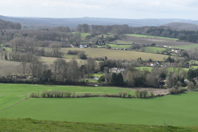
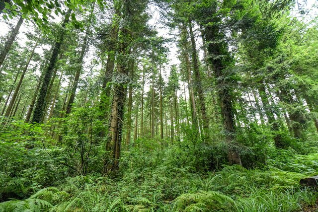
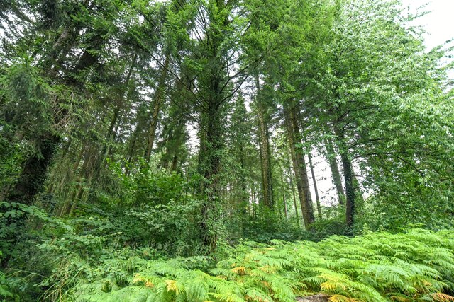
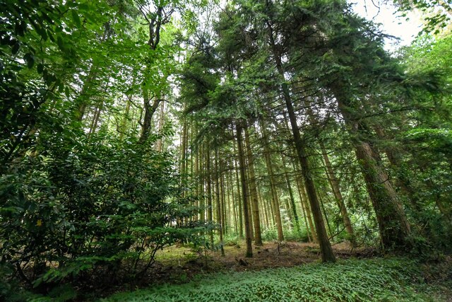
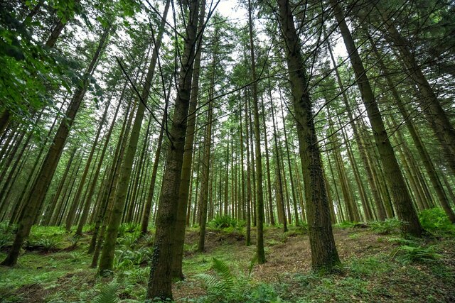
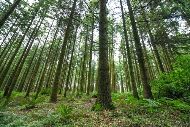
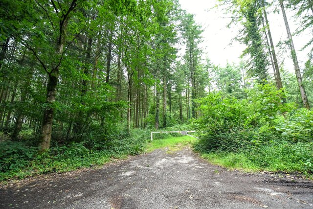
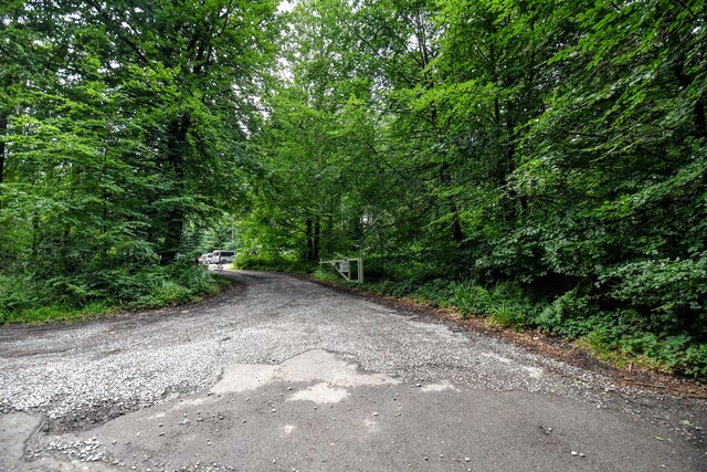
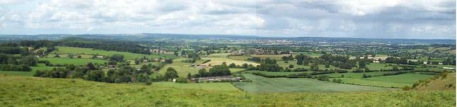
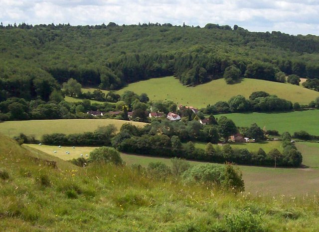
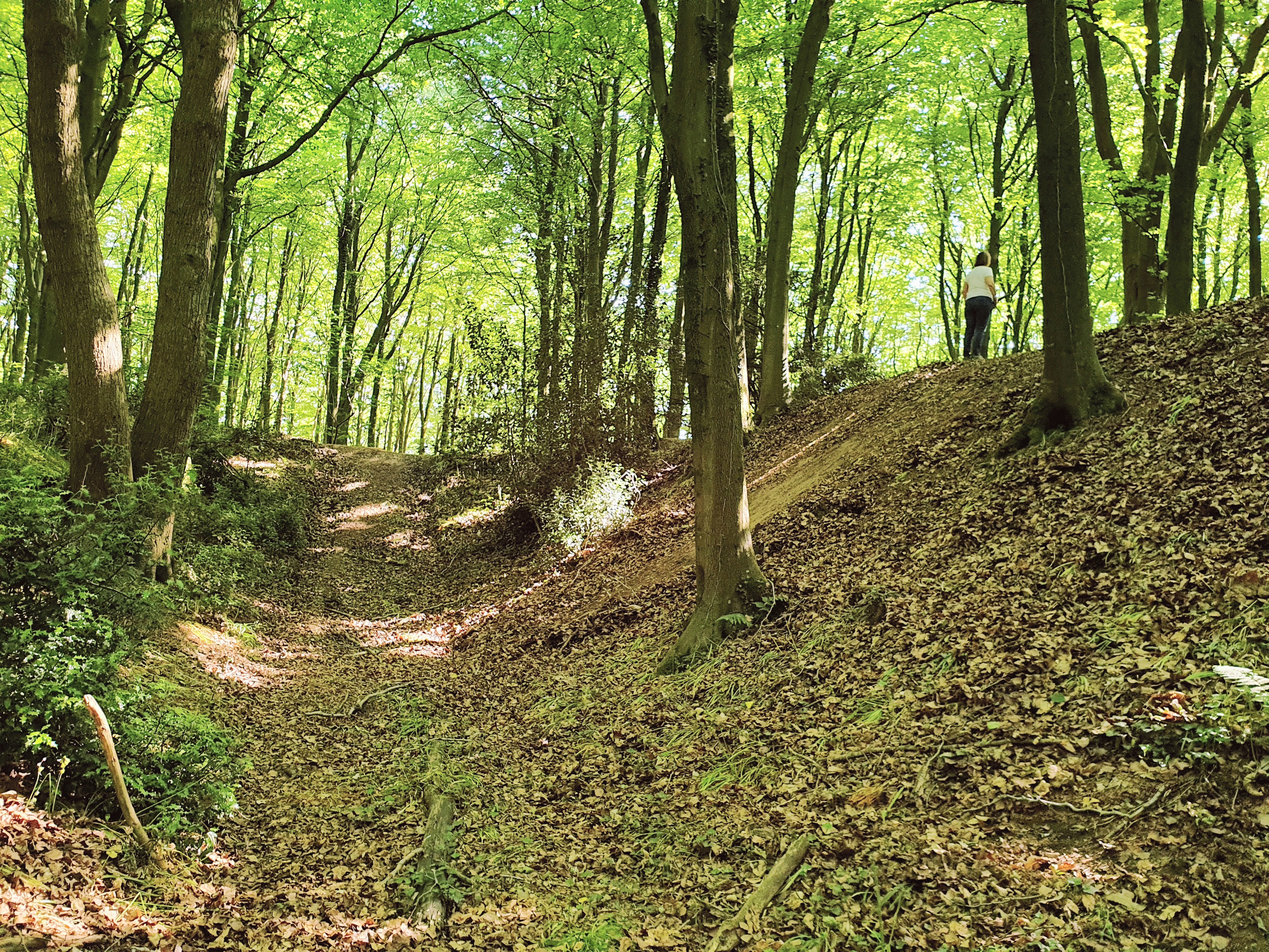
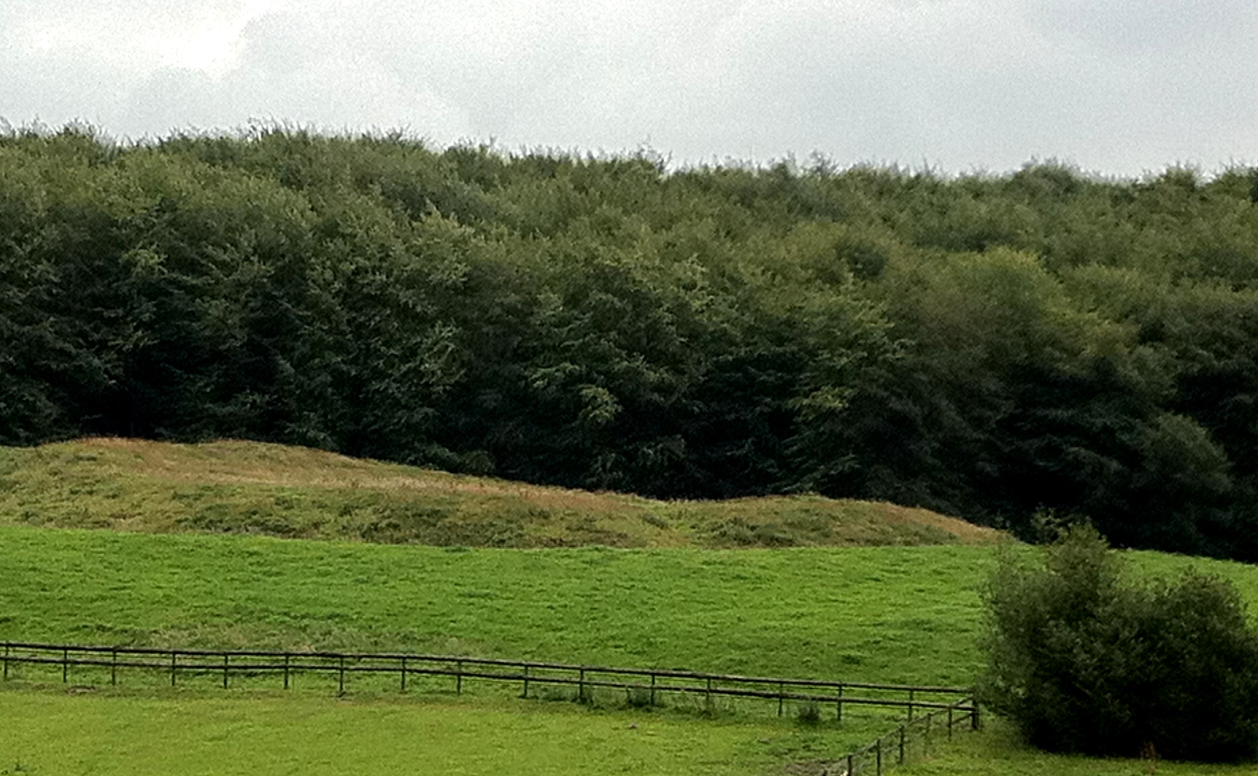
Green's Coppice is a picturesque woodland located in the county of Wiltshire, England. Situated near the village of Box, this charming forest covers an area of approximately 20 hectares. The coppice is characterized by its dense and diverse vegetation, consisting mainly of deciduous and evergreen trees, such as oak, beech, and pine, creating a stunning natural habitat for a wide variety of flora and fauna.
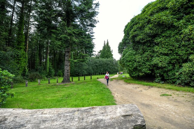
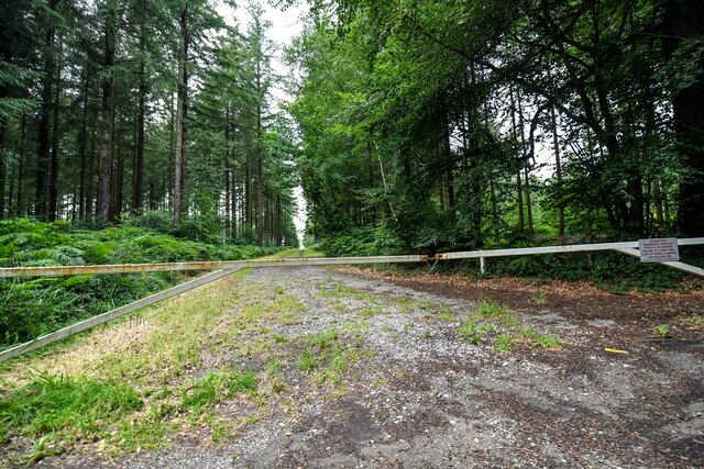
The woodland is a popular destination for nature enthusiasts, hikers, and birdwatchers due to its tranquil and serene environment. The well-maintained footpaths that traverse the coppice allow visitors to explore the forest while taking in the breathtaking views of the surrounding countryside. Along the paths, one can encounter an array of wildflowers, including bluebells and primroses, which bloom during the spring months, adding to the beauty of the woodland.
Green's Coppice also serves as an important habitat for numerous bird species, including woodpeckers, thrushes, and owls. The forest's diverse ecosystem provides nesting sites and food sources for these birds, making it a haven for ornithologists and bird lovers alike.
In addition to its natural beauty, Green's Coppice holds historical significance. The woodland has been managed as a coppice for centuries, with evidence of traditional woodland management techniques still visible today. The practice of coppicing involves selectively cutting certain trees to stimulate new growth, providing a sustainable source of timber and firewood.
Overall, Green's Coppice offers a tranquil retreat for nature enthusiasts, showcasing the beauty of Wiltshire's natural landscape and providing a haven for wildlife. Whether it's a leisurely walk or an opportunity to immerse oneself in nature, this charming woodland is a must-visit destination for those seeking solace and a connection with the great outdoors.
If you have any feedback on the listing, please let us know in the comments section below.
Green's Coppice Images
Images are sourced within 2km of 51.194018/-2.2654106 or Grid Reference ST8143. Thanks to Geograph Open Source API. All images are credited.
Green's Coppice is located at Grid Ref: ST8143 (Lat: 51.194018, Lng: -2.2654106)
Unitary Authority: Wiltshire
Police Authority: Wiltshire
What 3 Words
///calms.crashing.recording. Near Corsley, Wiltshire
Nearby Locations
Related Wikis

Dunkerton Colliery Halt railway station
Dunkerton Colliery Halt railway station served the colliery near the village of Dunkerton, Somerset, England from 1911 to 1925 on the Bristol and North...
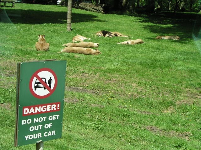
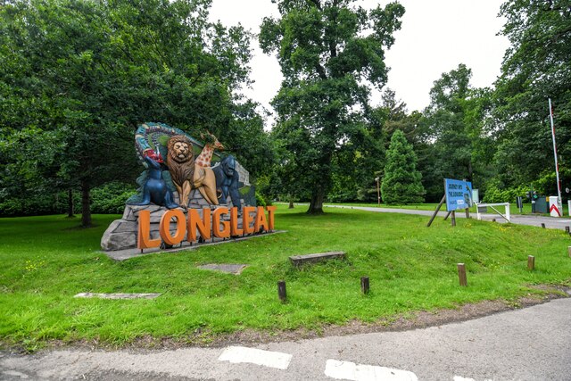
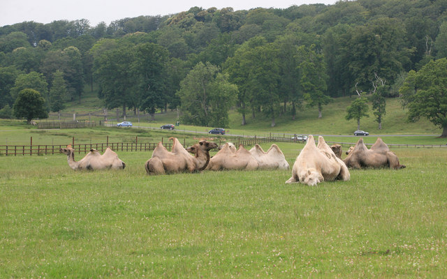
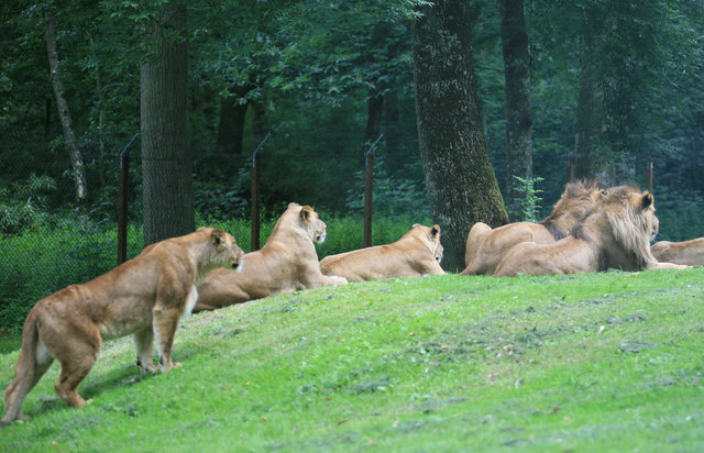
Longleat Safari and Adventure Park
Longleat Safari and Adventure Park in Wiltshire, England, was opened in 1966 as the world's first drive-through safari park outside Africa. == History... ==
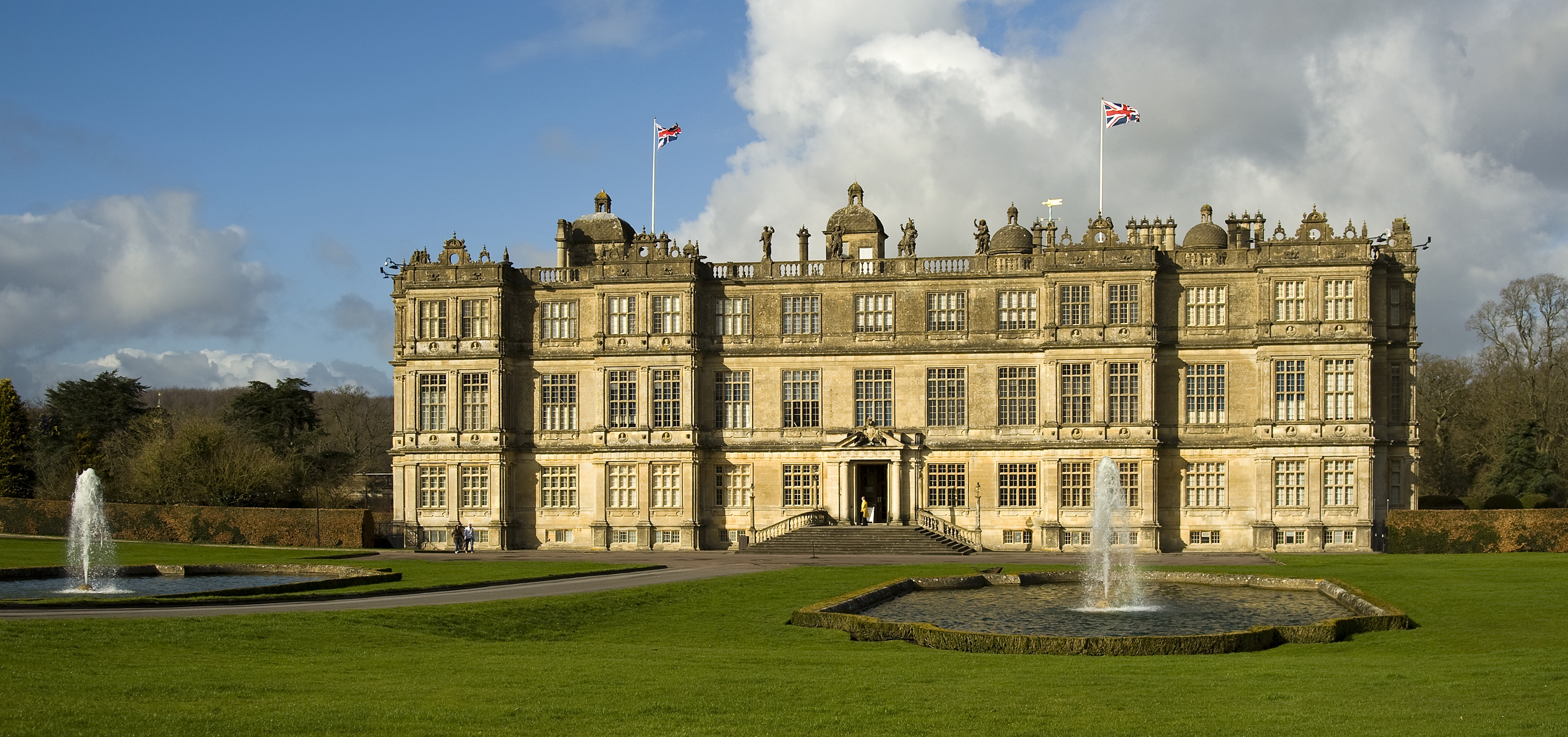
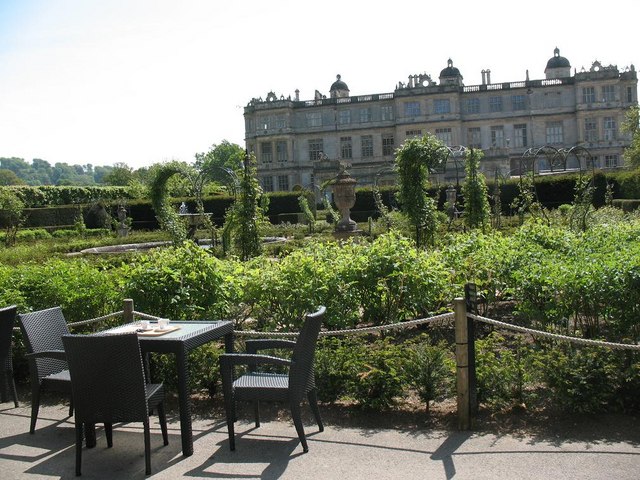
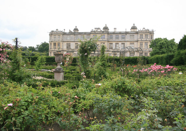
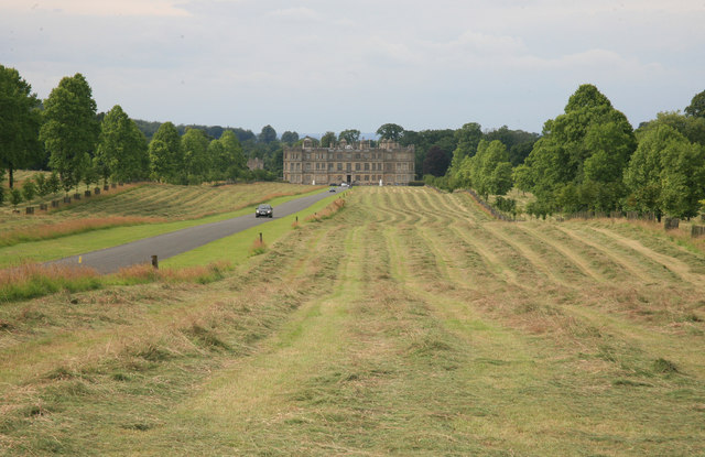
Longleat
Longleat is a stately home about 4 miles (7 km) west of Warminster in Wiltshire, England. A leading and early example of the Elizabethan prodigy house...
Longleat Priory
Longleat Priory was a priory near Warminster, Wiltshire, in the south of England. A short-lived priory was established and dissolved near to Longleat in...

St Mary's Church, Temple, Corsley
The Church of St Mary at Temple, Corsley, Wiltshire, England is a chapel-of-ease dating from the very early 20th century. It was commissioned and paid...
Roddenbury Hillfort
Roddenbury Hillfort is a univallate Iron Age hillfort in the parish of Selwood, Somerset, England. It is a Scheduled Monument and it was on the Heritage...
Hales Castle
Hales Castle was a medieval castle that once stood overlooking the town of Frome in the Mendip district of Somerset, England. It has been scheduled as...

Longleat Woods
Longleat Woods (grid reference ST795435) is a 249.9 hectare (617.4 acre) biological Site of Special Scientific Interest south of Frome in Somerset, notified...
Nearby Amenities
Located within 500m of 51.194018,-2.2654106Have you been to Green's Coppice?
Leave your review of Green's Coppice below (or comments, questions and feedback).