Hazel Coppice
Wood, Forest in Wiltshire
England
Hazel Coppice
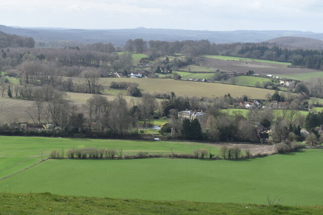
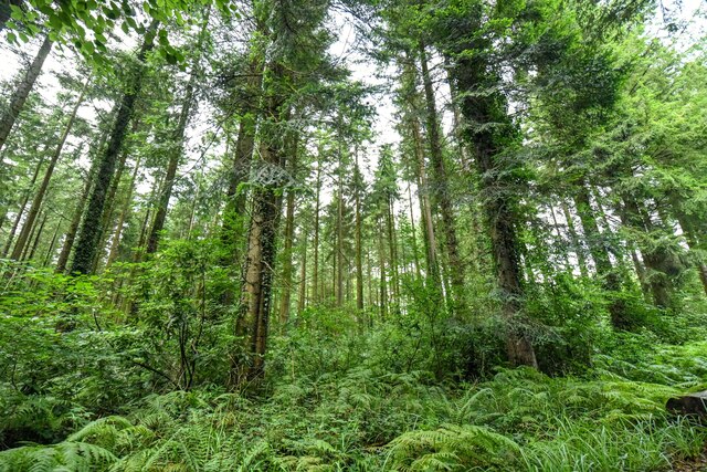
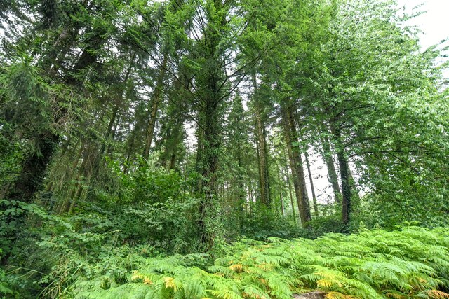
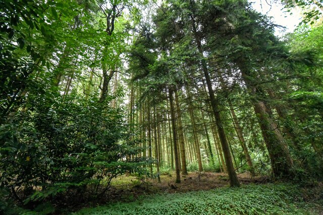
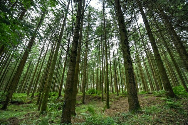
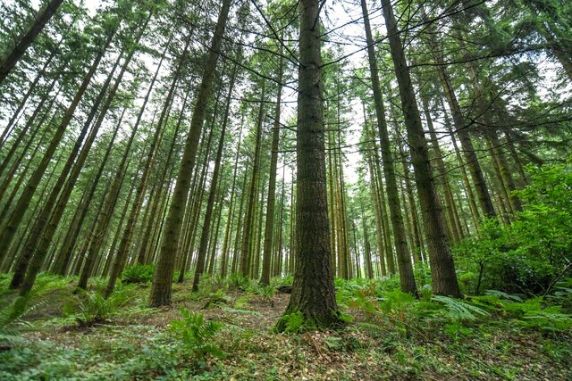
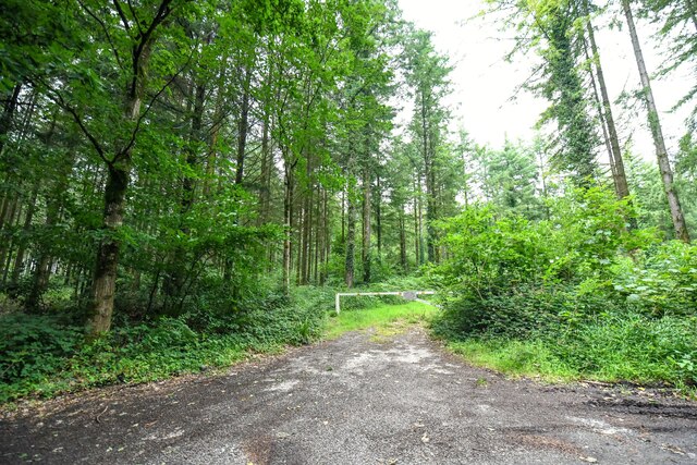
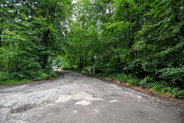
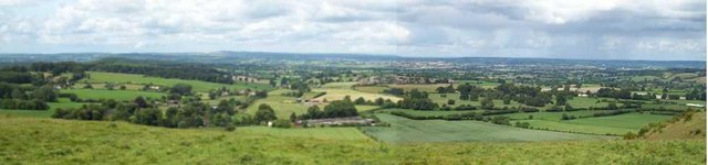
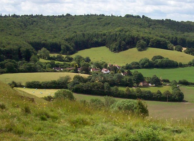
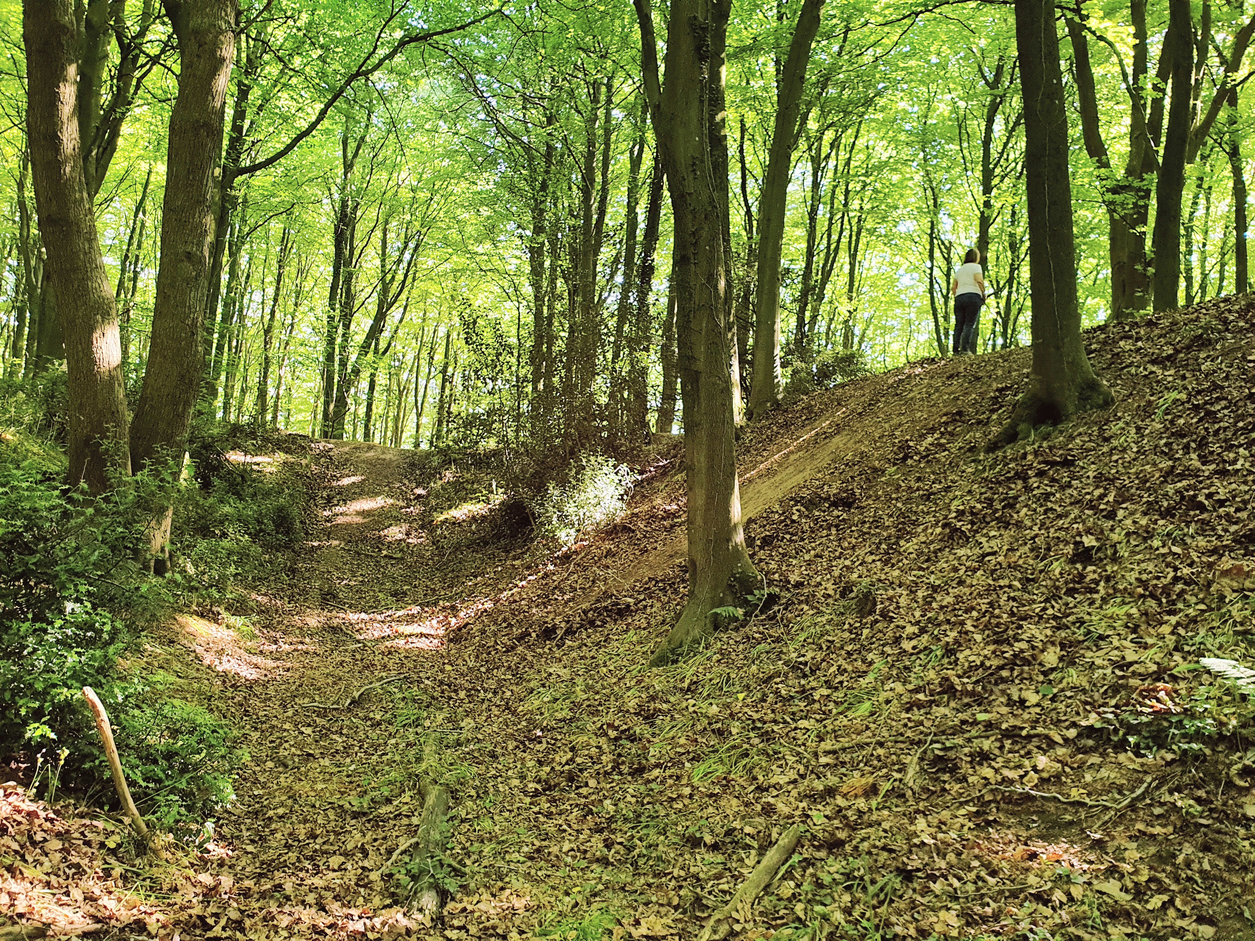
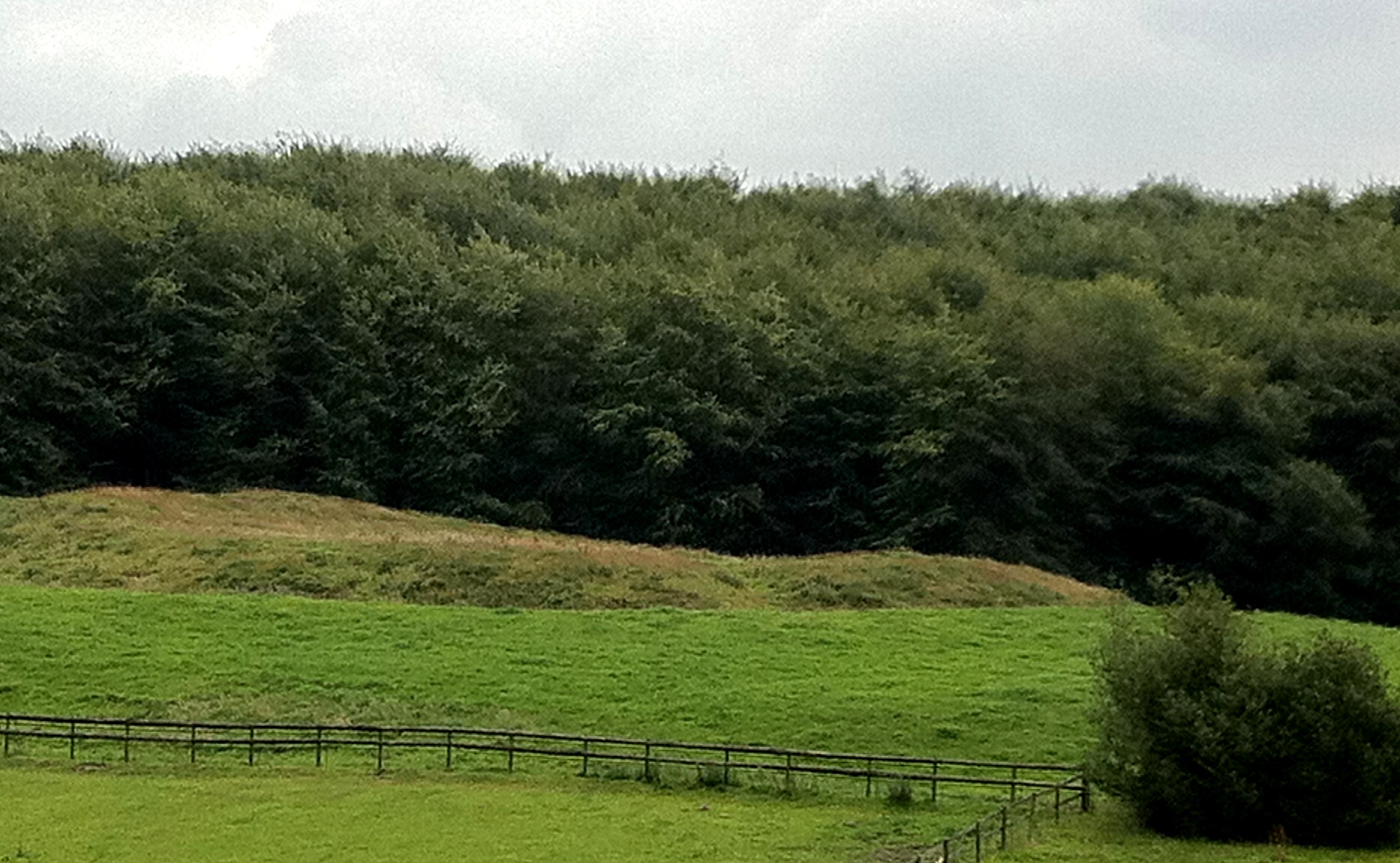
Hazel Coppice is a wood located in the county of Wiltshire, England. Situated on the outskirts of a small village, it covers an area of approximately 100 acres. The wood is predominantly composed of hazel trees, hence its name, but also features a variety of other tree species such as oak, ash, and birch. The dense woodland provides a diverse habitat for many animal and plant species.
The forest floor of Hazel Coppice is covered in a thick layer of leaf litter, creating a natural carpet of decomposing organic matter. This environment supports a wide range of flora, including bluebells, wood anemones, and wild garlic, which bloom in the spring and add a vibrant burst of color to the woodland landscape.
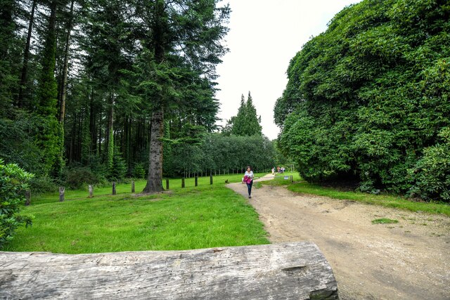
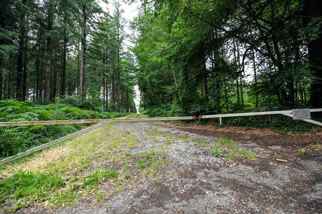
The wood is crisscrossed with a network of walking trails, allowing visitors to explore and immerse themselves in the natural beauty of the area. These paths meander through the trees, offering glimpses of wildlife such as squirrels, deer, and a variety of bird species. The tranquil atmosphere and peaceful surroundings make it a popular spot for nature enthusiasts, walkers, and photographers.
Hazel Coppice is managed by the local forestry commission, ensuring the woodland remains healthy and sustainable. This management includes periodic coppicing, a traditional forestry practice that involves selectively cutting certain trees to encourage new growth and maintain the woodland ecosystem.
Overall, Hazel Coppice in Wiltshire is a stunning and biodiverse woodland that offers visitors a chance to connect with nature and enjoy the serene beauty of the English countryside.
If you have any feedback on the listing, please let us know in the comments section below.
Hazel Coppice Images
Images are sourced within 2km of 51.19211/-2.2665301 or Grid Reference ST8143. Thanks to Geograph Open Source API. All images are credited.


Hazel Coppice is located at Grid Ref: ST8143 (Lat: 51.19211, Lng: -2.2665301)
Unitary Authority: Wiltshire
Police Authority: Wiltshire
What 3 Words
///winks.outlooks.measures. Near Corsley, Wiltshire
Nearby Locations
Related Wikis

Dunkerton Colliery Halt railway station
Dunkerton Colliery Halt railway station served the colliery near the village of Dunkerton, Somerset, England from 1911 to 1925 on the Bristol and North...
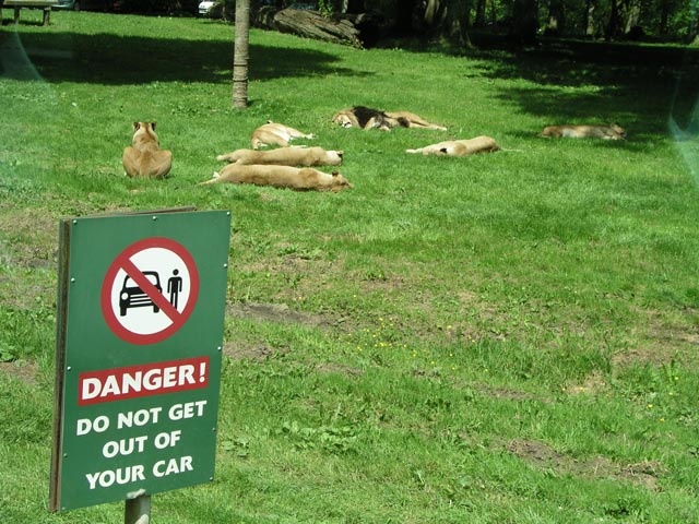
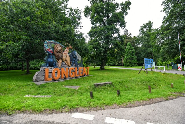
Longleat Safari and Adventure Park
Longleat Safari and Adventure Park in Wiltshire, England, was opened in 1966 as the world's first drive-through safari park outside Africa. == History... ==
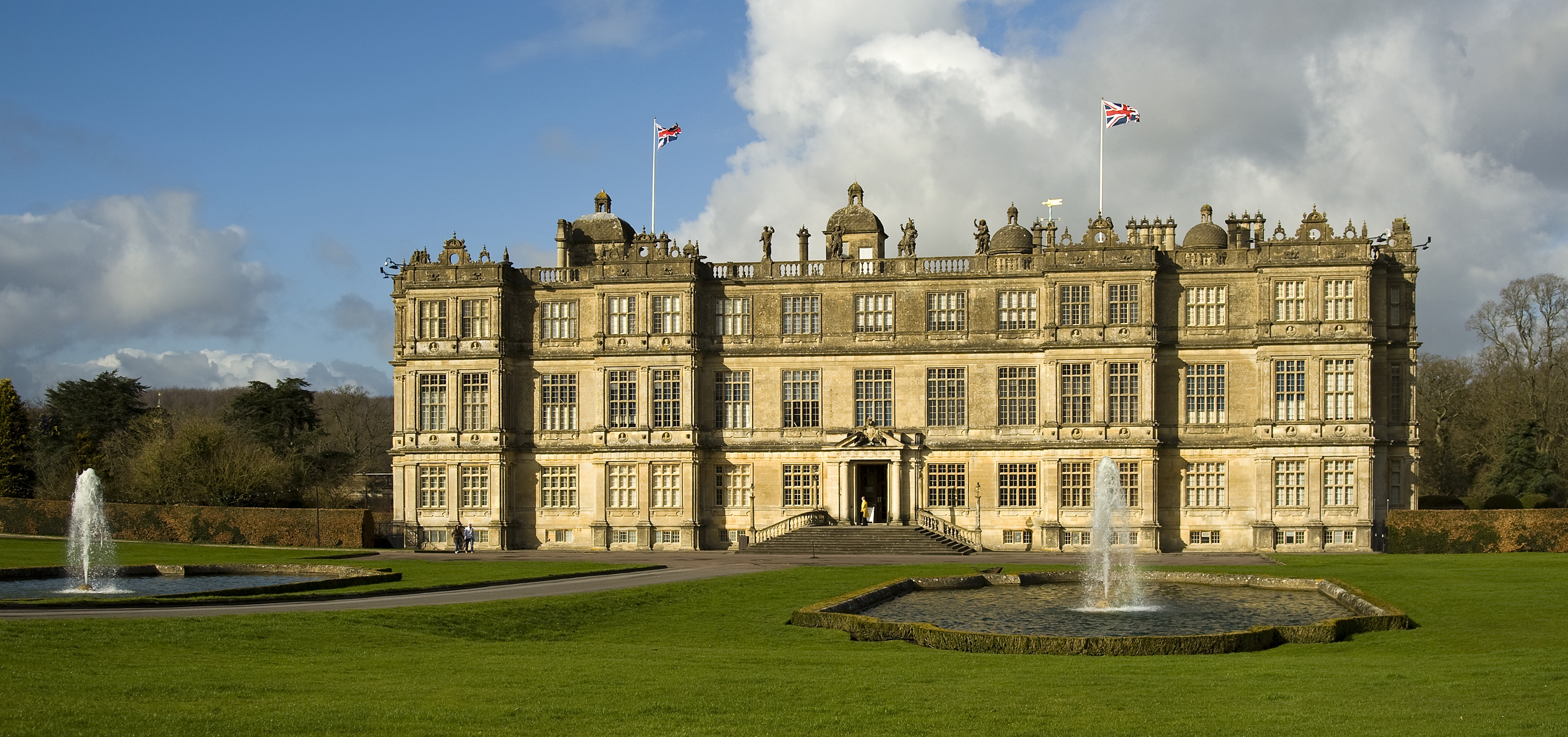
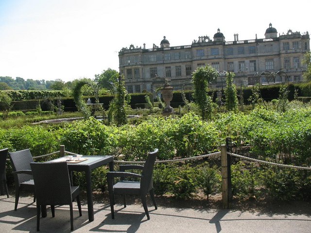
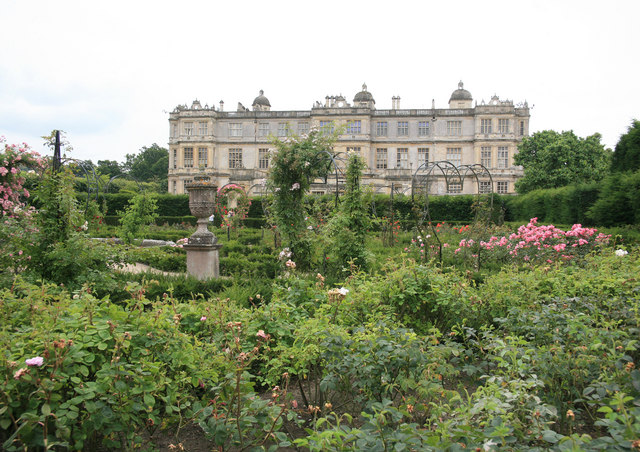
Longleat
Longleat is a stately home about 4 miles (7 km) west of Warminster in Wiltshire, England. A leading and early example of the Elizabethan prodigy house...
Longleat Priory
Longleat Priory was a priory near Warminster, Wiltshire, in the south of England. A short-lived priory was established and dissolved near to Longleat in...

St Mary's Church, Temple, Corsley
The Church of St Mary at Temple, Corsley, Wiltshire, England is a chapel-of-ease dating from the very early 20th century. It was commissioned and paid...
Roddenbury Hillfort
Roddenbury Hillfort is a univallate Iron Age hillfort in the parish of Selwood, Somerset, England. It is a Scheduled Monument and it was on the Heritage...
Hales Castle
Hales Castle was a medieval castle that once stood overlooking the town of Frome in the Mendip district of Somerset, England. It has been scheduled as...

Longleat Woods
Longleat Woods (grid reference ST795435) is a 249.9 hectare (617.4 acre) biological Site of Special Scientific Interest south of Frome in Somerset, notified...
Nearby Amenities
Located within 500m of 51.19211,-2.2665301Have you been to Hazel Coppice?
Leave your review of Hazel Coppice below (or comments, questions and feedback).