Round Hill Covert

Wood, Forest in Staffordshire South Staffordshire

England

Round Hill Covert

Coldridge Wood View to the west through the trees in Coldridge Wood.
Coldridge Wood Credit: Philip Halling

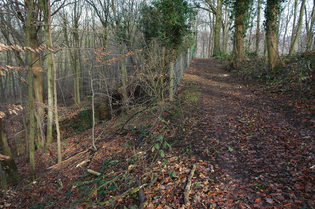
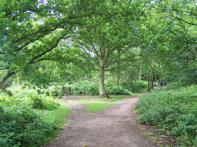
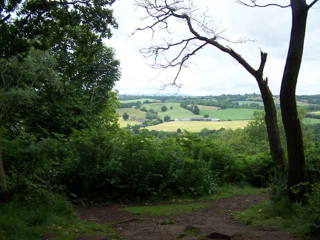
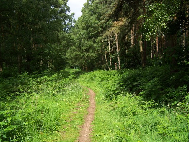
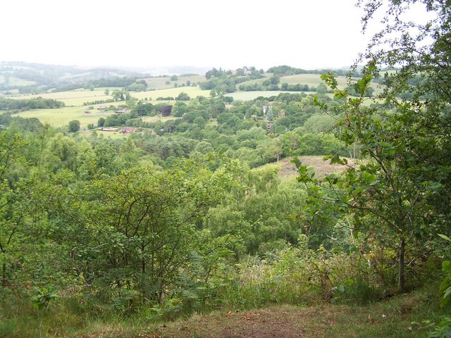
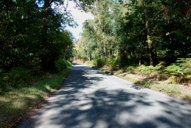
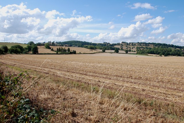
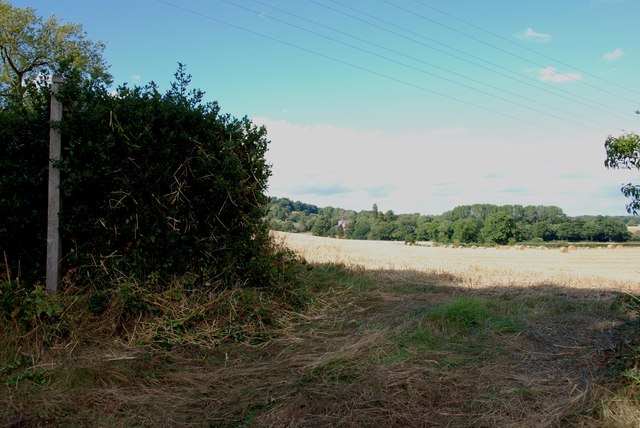
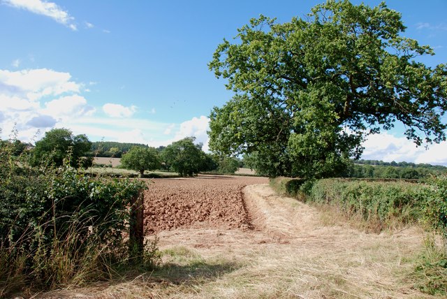
Round Hill Covert is a woodland area located in Staffordshire, England. Spanning over a vast area, this forest is nestled in the heart of the county and is known for its natural beauty and diverse ecosystem. With its lush greenery, towering trees, and varied wildlife, Round Hill Covert offers a tranquil escape for nature enthusiasts and outdoor lovers.

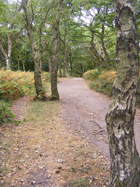
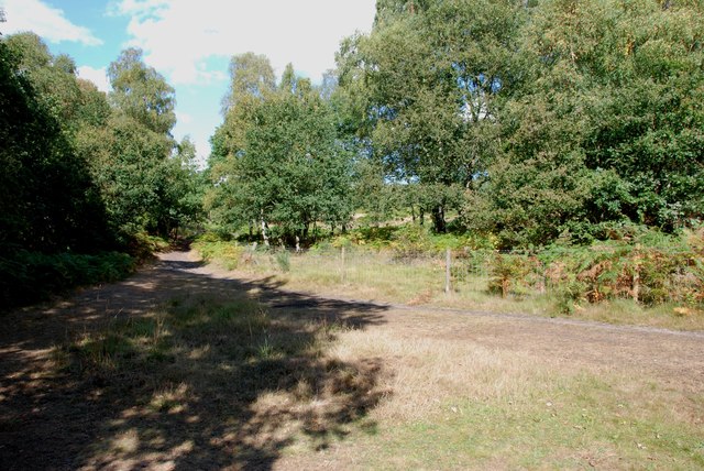
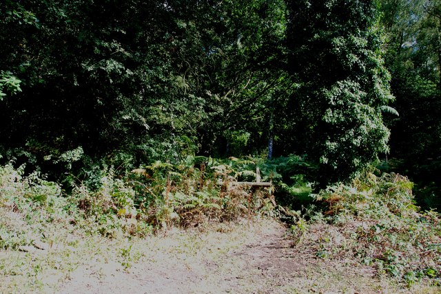
The woodland is dominated by a mix of deciduous and coniferous trees, including oak, beech, birch, and pine, creating a rich tapestry of colors throughout the seasons. The forest floor is covered in a thick layer of leaf litter, providing a habitat for a wide range of flora and fauna.

This area is home to a diverse array of wildlife, including deer, foxes, badgers, and a plethora of bird species. Birdwatchers will be delighted to spot species such as woodpeckers, owls, and various songbirds flitting among the branches. The forest also boasts a number of small ponds and streams, attracting amphibians and water-loving creatures like frogs, newts, and dragonflies.

Round Hill Covert is a popular destination for outdoor activities such as hiking, wildlife photography, and nature walks. The forest is crisscrossed with well-maintained trails that lead visitors through its enchanting landscape and allow them to explore its hidden treasures.

With its natural beauty and abundant wildlife, Round Hill Covert in Staffordshire is a haven for those seeking a peaceful retreat in the heart of nature. Whether it's a leisurely stroll or a more adventurous hike, this woodland offers a truly immersive experience for all who venture into its depths.

If you have any feedback on the listing, please let us know in the comments section below.

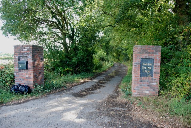
Round Hill Covert Images

Images are sourced within 2km of 52.440178/-2.2740924 or Grid Reference SO8182. Thanks to Geograph Open Source API. All images are credited.

Coldridge Wood View to the west through the trees in Coldridge Wood.
Coldridge Wood
View to the west through the trees in Coldridge Wood.
Catkins in Coldridge Wood
Track through Coldridge Wood To the left of the track are a number of old quarries. The fence on the left provides protection from these quarries.
Track through Coldridge Wood
To the left of the track are a number of old quarries. The fence on the left provides protection from these quarries.
Staffordshire Way On Kinver Edge
View From Kinver Edge
Footpath In Kingsford Forest Park
View From Kingsford Forest Park
Kinver Ridge Path The footpath runs along the ridge of Kinver Edge.
Kinver Ridge Path
The footpath runs along the ridge of Kinver Edge.
Kinver Edge Sheep Two sheep take a drink from the trough on the border of the National Trust's Kinver Edge.
Kinver Edge Sheep
Two sheep take a drink from the trough on the border of the National Trust's Kinver Edge.
Entrance to Tunnels, Kinver Edge These tunnels were dug under Kinver Edge for 3 to 4 miles in length. <span class="nowrap"><a title="http://en.wikipedia.org/wiki/Drakelow_Tunnels" rel="nofollow ugc noopener" href="http://en.wikipedia.org/wiki/Drakelow_Tunnels">Link</a><img style="margin-left:2px;" alt="External link" title="External link - shift click to open in new window" src="https://s1.geograph.org.uk/img/external.png" width="10" height="10"/></span>
Entrance to Tunnels, Kinver Edge
These tunnels were dug under Kinver Edge for 3 to 4 miles in length. LinkExternal link
AirSoft in the Tunnels under Kinver Edge These tunnels were dug under Kinver Edge for 3 to 4 miles in length. <span class="nowrap"><a title="http://en.wikipedia.org/wiki/Drakelow_Tunnels" rel="nofollow ugc noopener" href="http://en.wikipedia.org/wiki/Drakelow_Tunnels">Link</a><img style="margin-left:2px;" alt="External link" title="External link - shift click to open in new window" src="https://s1.geograph.org.uk/img/external.png" width="10" height="10"/></span>
AirSoft in the Tunnels under Kinver Edge
These tunnels were dug under Kinver Edge for 3 to 4 miles in length. LinkExternal link
Typical View off Kingsford Lane
Footpath into the Gloom, Kingsford Lane
Kingsford Lane Heading towards Kinver Kingsford Lane follows along the bottom of Kinver Edge
Kingsford Lane Heading towards Kinver
Kingsford Lane follows along the bottom of Kinver Edge
View from Compton Road, Kinver Looking across to the Sheepwalks on the right skyline.
View from Compton Road, Kinver
Looking across to the Sheepwalks on the right skyline.
Footpath across Fields from Heron's Gate Road The house that can just be seen in the middle of the picture, belonged to James Brindley of canal building fame.
Footpath across Fields from Heron's Gate Road
The house that can just be seen in the middle of the picture, belonged to James Brindley of canal building fame.
Ploughing in the Stubble Ploughing in this years stubble, so that next years crop can be planted in the autumn or next spring, depending what is being sown.
Ploughing in the Stubble
Ploughing in this years stubble, so that next years crop can be planted in the autumn or next spring, depending what is being sown.
Entrance to Compton Cottage Farm, Heron's Gate Road
Show me another place!

Round Hill Covert is located at Grid Ref: SO8182 (Lat: 52.440178, Lng: -2.2740924)

Administrative County: Staffordshire

District: South Staffordshire

Police Authority: Staffordshire

What 3 Words

///caramel.snore.butchers. Near Kinvere, Staffordshire

Related Wikis

Castle Hill, Wolverley

Castle Hill or Baron Hill is about a mile from the hamlet of Kingsford in the civil parish of Wolverley and Cookley, Worcestershire. In 1912 the site consisted...

Kingsford, Worcestershire

Kingsford is a large hamlet in Worcestershire, England. == Location == Kingsford is located one mile (1.6 km) north of the village of Wolverley, Worcestershire...

Kingsford Country Park

Kingsford Country Park, officially Kingsford Forest Park, was in Worcestershire, England, U.K. and managed by Worcestershire County Council. It adjoined...

Drakelow Tunnels

Drakelow Tunnels are a former underground military complex beneath the Blakeshall Estate north of Kidderminster, Worcestershire, covering 285,000 sq ft...

Nearby Amenities

Located within 500m of 52.440178,-2.2740924
Barrier: stile
Source: survey
Lat/Long: 52.4381699/-2.27027
Barrier: stile
Source: survey
Lat/Long: 52.4383957/-2.2682505
Barrier: stile
Source: survey
Lat/Long: 52.4370926/-2.27491
The data included in this document is from www.openstreetmap.org. The data is made available under ODbL.

Have you been to Round Hill Covert?

Leave your review of Round Hill Covert below (or comments, questions and feedback).