Garden Coppice

Wood, Forest in Staffordshire South Staffordshire

England

Garden Coppice

Coldridge Wood View to the west through the trees in Coldridge Wood.
Coldridge Wood Credit: Philip Halling

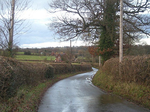
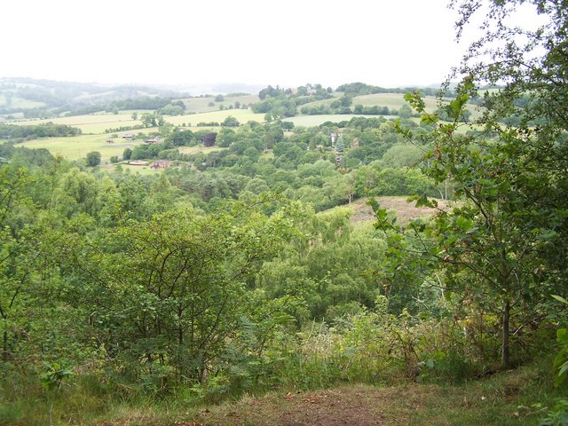
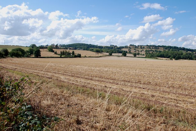
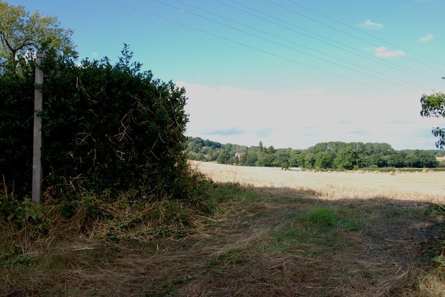
Garden Coppice is a beautiful woodland located in Staffordshire, England. Covering an area of approximately 500 acres, it is a haven for nature lovers and outdoor enthusiasts. The coppice is situated near the town of Uttoxeter, just a short drive from the city of Stoke-on-Trent.

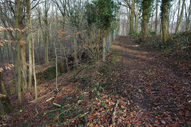
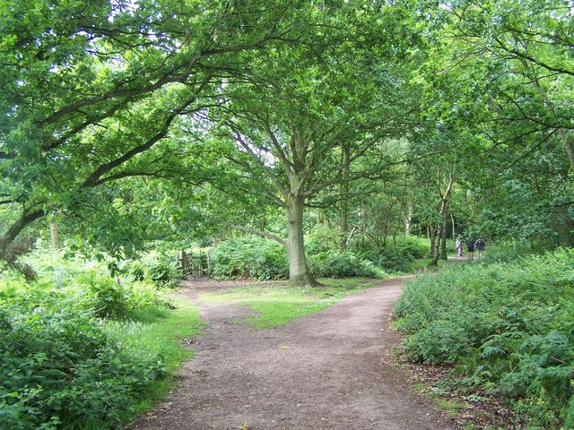
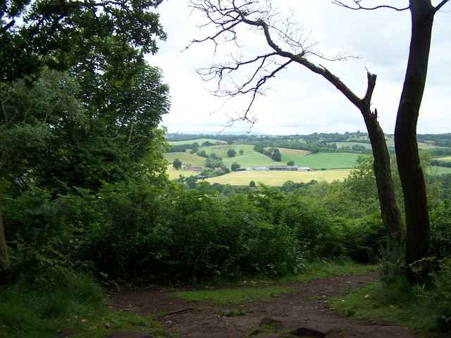
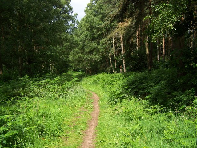
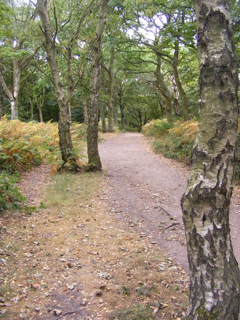
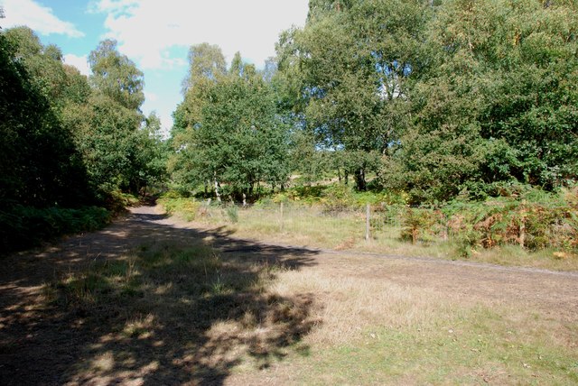
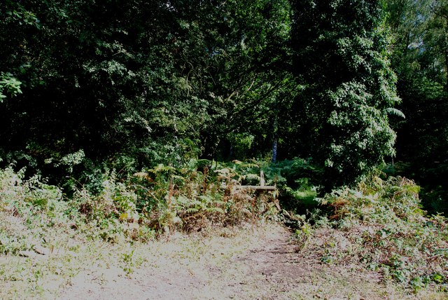
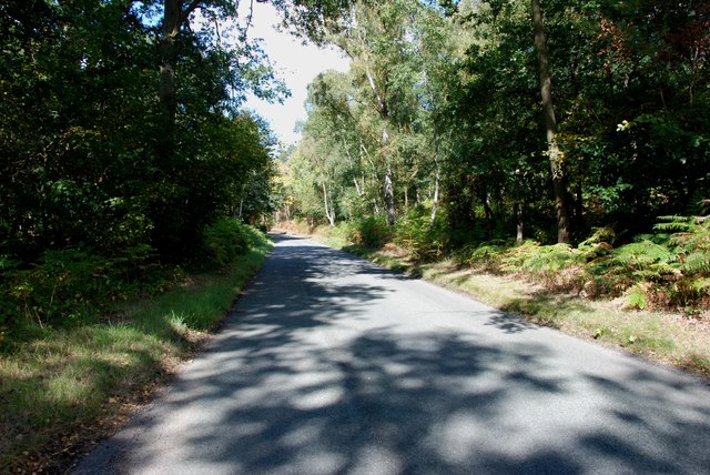
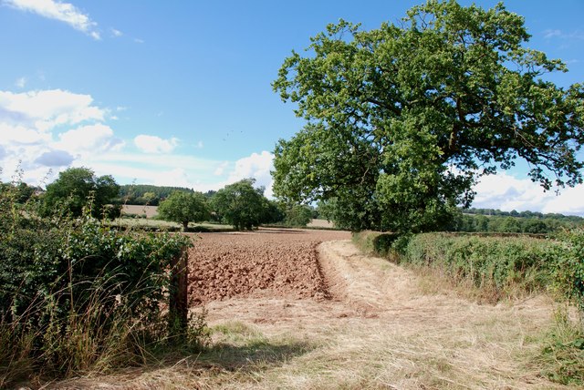
The woodland is predominantly composed of various species of deciduous trees, including oak, birch, and beech. These trees create a dense canopy, providing a cool and shaded environment, especially during the summer months. The forest floor is covered with a rich carpet of ferns, wildflowers, and moss, adding to the overall enchantment of the area.

Garden Coppice is home to a diverse range of wildlife. Visitors may spot various bird species, such as woodpeckers, nuthatches, and jays, as well as mammals like deer, foxes, and badgers. In the springtime, the woods come alive with the sound of birdsong, and the air is filled with the sweet scent of blossoming flowers.

The woodland offers several walking trails and paths, allowing visitors to explore its beauty at their own pace. These trails vary in length and difficulty, catering to both casual strollers and more experienced hikers. Along the way, there are numerous picnic spots and benches, providing opportunities for visitors to relax and soak in the tranquil atmosphere.

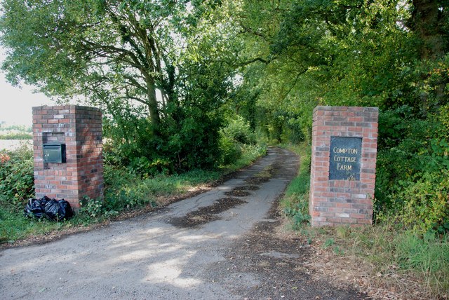
Garden Coppice is managed by a local conservation organization, ensuring the preservation of its natural beauty and the protection of its wildlife. It is open to the public throughout the year, with free admission and ample parking available. Whether you are a nature enthusiast, a photographer, or simply seeking a peaceful retreat, Garden Coppice is a must-visit destination in Staffordshire.

If you have any feedback on the listing, please let us know in the comments section below.

Garden Coppice Images

Images are sourced within 2km of 52.441055/-2.276025 or Grid Reference SO8182. Thanks to Geograph Open Source API. All images are credited.

Coldridge Wood View to the west through the trees in Coldridge Wood.
Coldridge Wood
View to the west through the trees in Coldridge Wood.
Catkins in Coldridge Wood
Track through Coldridge Wood To the left of the track are a number of old quarries. The fence on the left provides protection from these quarries.
Track through Coldridge Wood
To the left of the track are a number of old quarries. The fence on the left provides protection from these quarries.
Lane past Brittles Cottage
Staffordshire Way On Kinver Edge
View From Kinver Edge
Footpath In Kingsford Forest Park
View From Kingsford Forest Park
Kinver Ridge Path The footpath runs along the ridge of Kinver Edge.
Kinver Ridge Path
The footpath runs along the ridge of Kinver Edge.
Entrance to Tunnels, Kinver Edge These tunnels were dug under Kinver Edge for 3 to 4 miles in length. <span class="nowrap"><a title="http://en.wikipedia.org/wiki/Drakelow_Tunnels" rel="nofollow ugc noopener" href="http://en.wikipedia.org/wiki/Drakelow_Tunnels">Link</a><img style="margin-left:2px;" alt="External link" title="External link - shift click to open in new window" src="https://s1.geograph.org.uk/img/external.png" width="10" height="10"/></span>
Entrance to Tunnels, Kinver Edge
These tunnels were dug under Kinver Edge for 3 to 4 miles in length. LinkExternal link
AirSoft in the Tunnels under Kinver Edge These tunnels were dug under Kinver Edge for 3 to 4 miles in length. <span class="nowrap"><a title="http://en.wikipedia.org/wiki/Drakelow_Tunnels" rel="nofollow ugc noopener" href="http://en.wikipedia.org/wiki/Drakelow_Tunnels">Link</a><img style="margin-left:2px;" alt="External link" title="External link - shift click to open in new window" src="https://s1.geograph.org.uk/img/external.png" width="10" height="10"/></span>
AirSoft in the Tunnels under Kinver Edge
These tunnels were dug under Kinver Edge for 3 to 4 miles in length. LinkExternal link
Typical View off Kingsford Lane
Footpath into the Gloom, Kingsford Lane
Kingsford Lane Heading towards Kinver Kingsford Lane follows along the bottom of Kinver Edge
Kingsford Lane Heading towards Kinver
Kingsford Lane follows along the bottom of Kinver Edge
View from Compton Road, Kinver Looking across to the Sheepwalks on the right skyline.
View from Compton Road, Kinver
Looking across to the Sheepwalks on the right skyline.
Footpath across Fields from Heron's Gate Road The house that can just be seen in the middle of the picture, belonged to James Brindley of canal building fame.
Footpath across Fields from Heron's Gate Road
The house that can just be seen in the middle of the picture, belonged to James Brindley of canal building fame.
Ploughing in the Stubble Ploughing in this years stubble, so that next years crop can be planted in the autumn or next spring, depending what is being sown.
Ploughing in the Stubble
Ploughing in this years stubble, so that next years crop can be planted in the autumn or next spring, depending what is being sown.
Entrance to Compton Cottage Farm, Heron's Gate Road
Show me another place!

Garden Coppice is located at Grid Ref: SO8182 (Lat: 52.441055, Lng: -2.276025)

Administrative County: Staffordshire

District: South Staffordshire

Police Authority: Staffordshire

What 3 Words

///tones.blunt.sunblock. Near Romsley, Shropshire

Related Wikis

Castle Hill, Wolverley

Castle Hill or Baron Hill is about a mile from the hamlet of Kingsford in the civil parish of Wolverley and Cookley, Worcestershire. In 1912 the site consisted...

Kingsford, Worcestershire

Kingsford is a large hamlet in Worcestershire, England. == Location == Kingsford is located one mile (1.6 km) north of the village of Wolverley, Worcestershire...

Kingsford Country Park

Kingsford Country Park, officially Kingsford Forest Park, was in Worcestershire, England, U.K. and managed by Worcestershire County Council. It adjoined...

Drakelow Tunnels

Drakelow Tunnels are a former underground military complex beneath the Blakeshall Estate north of Kidderminster, Worcestershire, covering 285,000 sq ft...

Nearby Amenities

Located within 500m of 52.441055,-2.276025
Barrier: stile
Source: survey
Lat/Long: 52.4370926/-2.27491
The data included in this document is from www.openstreetmap.org. The data is made available under ODbL.

Have you been to Garden Coppice?

Leave your review of Garden Coppice below (or comments, questions and feedback).