Parson's Wood
Wood, Forest in Wiltshire
England
Parson's Wood
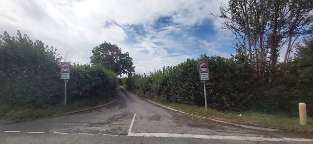
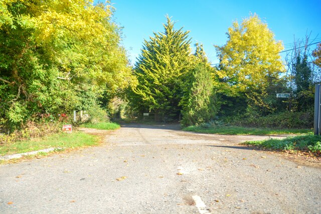
Parson's Wood is a picturesque woodland located in the county of Wiltshire, England. Covering an area of approximately 100 acres, it is nestled within the tranquil countryside, just a few miles away from the village of Parson's Green. The wood is easily accessible by foot or bicycle, with a well-maintained path leading from the nearby road.
Upon entering Parson's Wood, visitors are greeted by a diverse and enchanting landscape. The woodland is predominantly composed of deciduous trees such as oak, ash, and beech, providing a rich canopy that offers shade during the summer months and a vibrant display of colors during the autumn.
The forest floor of Parson's Wood is adorned with an array of wildflowers, ferns, and mosses, creating a beautiful tapestry of colors and textures. The woodland is also home to a variety of wildlife, including squirrels, rabbits, and numerous species of birds. Birdwatchers will particularly enjoy the sight of woodpeckers, thrushes, and owls.
For nature enthusiasts, Parson's Wood offers a tranquil escape from the hustle and bustle of everyday life. The peacefulness of the surroundings provides an ideal setting for walking, picnicking, or simply immersing oneself in the natural beauty of the area. The wood is a favorite spot for photographers and painters, who are often captivated by the ethereal atmosphere and the interplay of light and shadow.
Parson's Wood is not only a haven for flora and fauna but also an important ecosystem that supports biodiversity. As such, it is crucial for visitors to respect the environment and adhere to any designated guidelines or restrictions in place to ensure the preservation of this natural treasure for future generations.
If you have any feedback on the listing, please let us know in the comments section below.
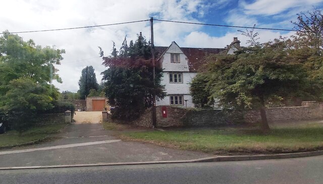
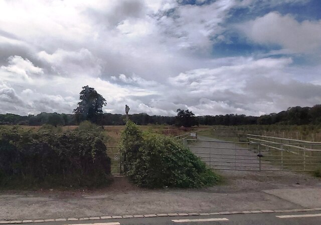
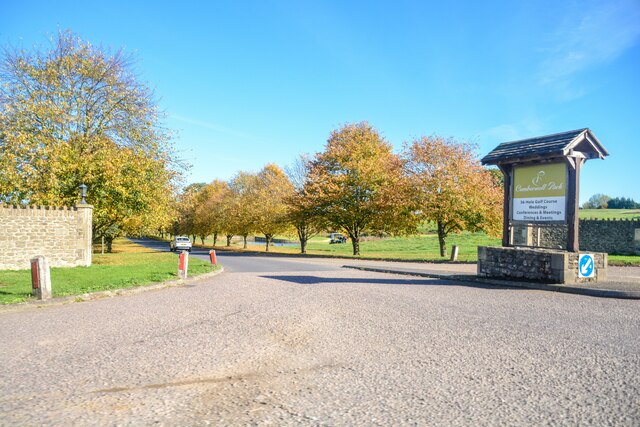
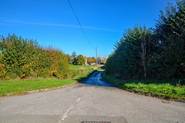
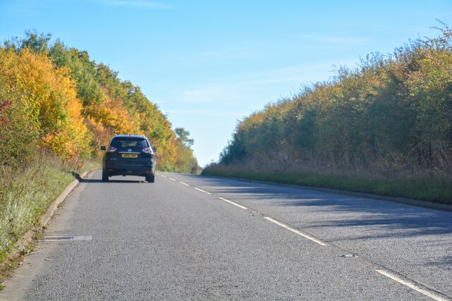
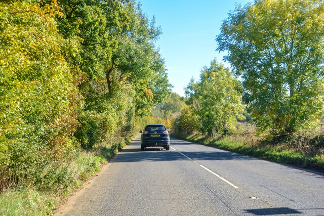
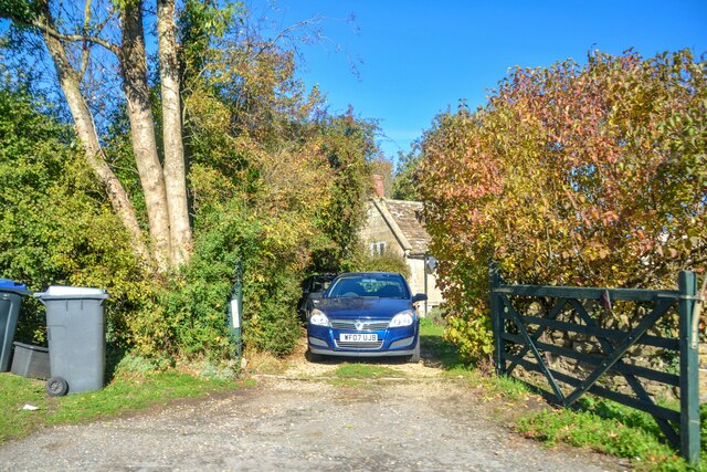
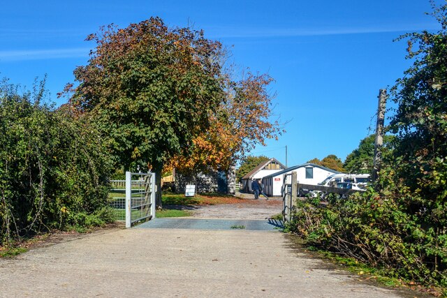
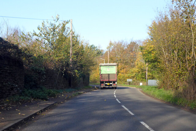
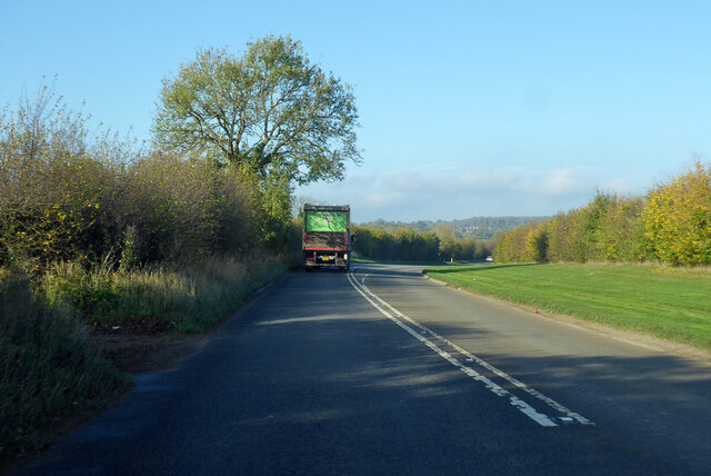
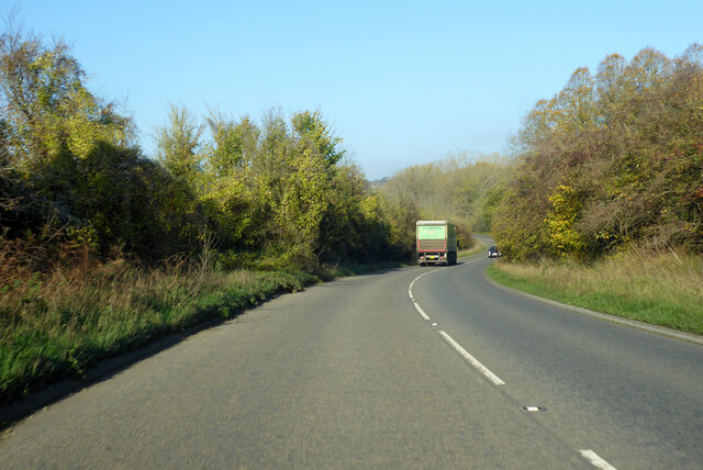
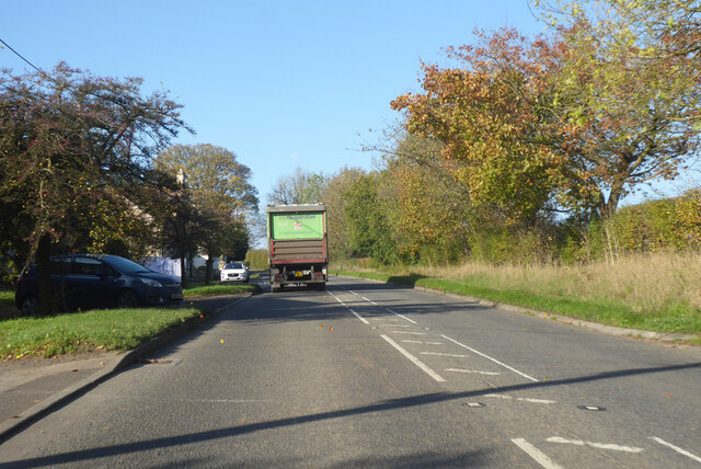
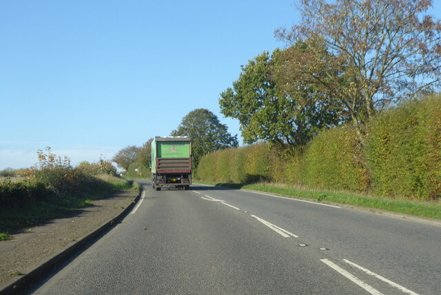
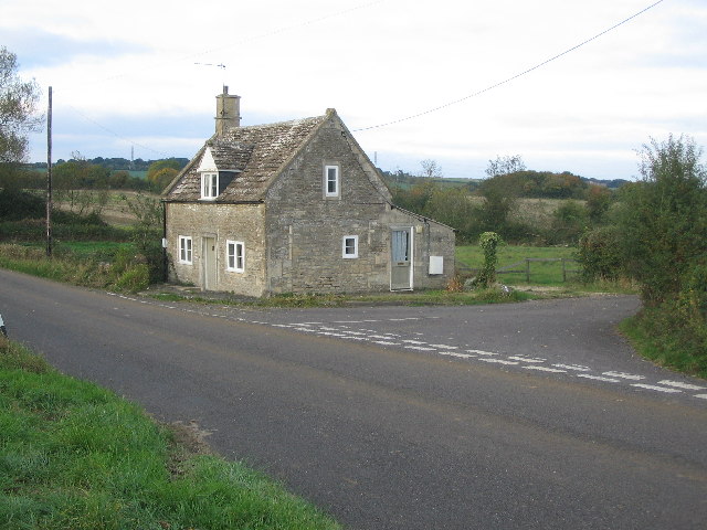
Parson's Wood Images
Images are sourced within 2km of 51.37642/-2.2681461 or Grid Reference ST8164. Thanks to Geograph Open Source API. All images are credited.
Parson's Wood is located at Grid Ref: ST8164 (Lat: 51.37642, Lng: -2.2681461)
Unitary Authority: Wiltshire
Police Authority: Wiltshire
What 3 Words
///hang.inversion.waddled. Near Monkton Farleigh, Wiltshire
Nearby Locations
Related Wikis

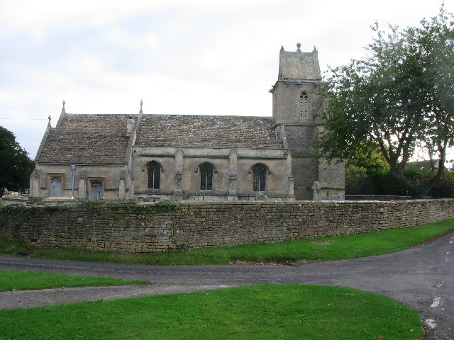
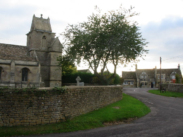
Monkton Farleigh
Monkton Farleigh is a village and civil parish in west Wiltshire, England, on high ground 3 miles (5 km) northwest of Bradford-on-Avon, and a similar distance...
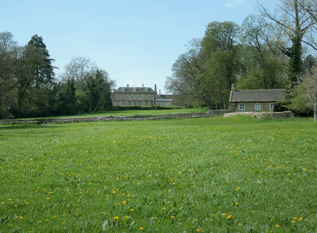
Monkton Farleigh Manor
Monkton Farleigh Manor is a Grade I listed country house close to the village of Monkton Farleigh in Wiltshire, England. Built on the site of a Cluniac...

Monkton Farleigh Priory
The Priory of St Mary Magdalene was a Cluniac priory in Monkton Farleigh, Wiltshire, England, in the 12th to 16th centuries. The priory was founded soon...
Inwood, Warleigh
Inwood, Warleigh (grid reference ST800633) is a 56.9 hectare biological Site of Special Scientific Interest in Wiltshire, notified in 1988. Although the...
Harman Lines
Harman Lines is a military installation of the British Army, which is part of Warminster Garrison on the Salisbury Plain. Harman Lines is on Sack Road...

South Wraxall
South Wraxall is a village and a civil parish in Wiltshire, England, 2.5 miles (4.0 km) north of Bradford on Avon. The village is to the east of the B3109...
The Old Ride School
The Old Ride School (previously called The Old Ride Preparatory School) was an independent school in England, first at Canford Cliffs just outside Bournemouth...

Warleigh Weir
Warleigh Weir is a river structure at Warleigh on the River Avon in Somerset, England, upstream from the city of Bath. The weir was originally built to...
Nearby Amenities
Located within 500m of 51.37642,-2.2681461Have you been to Parson's Wood?
Leave your review of Parson's Wood below (or comments, questions and feedback).