Ash Bed
Wood, Forest in Wiltshire
England
Ash Bed
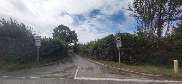
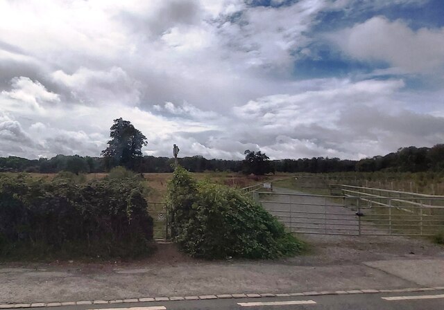
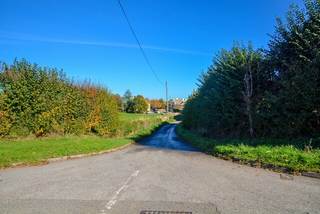
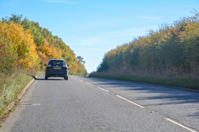
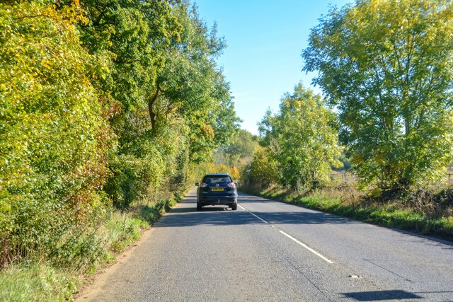
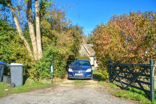
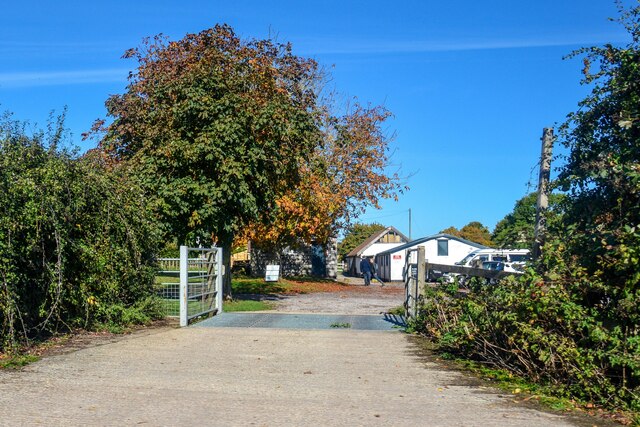
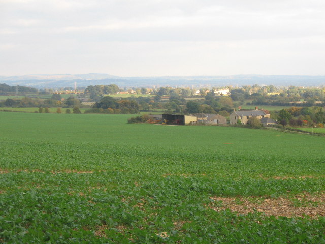
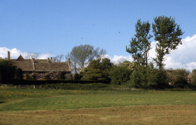
Ash Bed is a woodland area located in the county of Wiltshire, England. Nestled in the southwestern part of the county, it is situated near the village of Ash, just a few miles away from the town of Trowbridge. The woodland covers a vast area, spreading across lush green fields and rolling hills, providing a serene and picturesque setting.
The primary tree species found in Ash Bed is the ash tree, from which the woodland derives its name. These towering trees dominate the landscape, creating a dense canopy that offers shade and shelter to a diverse array of flora and fauna. The forest floor is carpeted with a rich tapestry of mosses, ferns, and wildflowers, adding vibrant colors to the woodland's natural beauty.
Ash Bed is also home to an abundance of wildlife. Various bird species can be spotted here, including woodpeckers, nightingales, and tawny owls. Mammals such as deer, foxes, and badgers roam the woodland, while smaller creatures like rabbits and squirrels scurry through the undergrowth.
The woodland provides an idyllic setting for outdoor activities and recreational pursuits. Many nature enthusiasts and walkers frequent Ash Bed, exploring its numerous trails and paths. The peaceful ambiance and tranquil atmosphere make it an ideal spot for picnics, photography, and simply immersing oneself in nature.
Overall, Ash Bed in Wiltshire is a captivating woodland that showcases the beauty of England's natural landscape. With its ancient ash trees, diverse wildlife, and scenic trails, it is a haven for both locals and visitors seeking solace in the great outdoors.
If you have any feedback on the listing, please let us know in the comments section below.
Ash Bed Images
Images are sourced within 2km of 51.380995/-2.2691499 or Grid Reference ST8164. Thanks to Geograph Open Source API. All images are credited.
Ash Bed is located at Grid Ref: ST8164 (Lat: 51.380995, Lng: -2.2691499)
Unitary Authority: Wiltshire
Police Authority: Wiltshire
What 3 Words
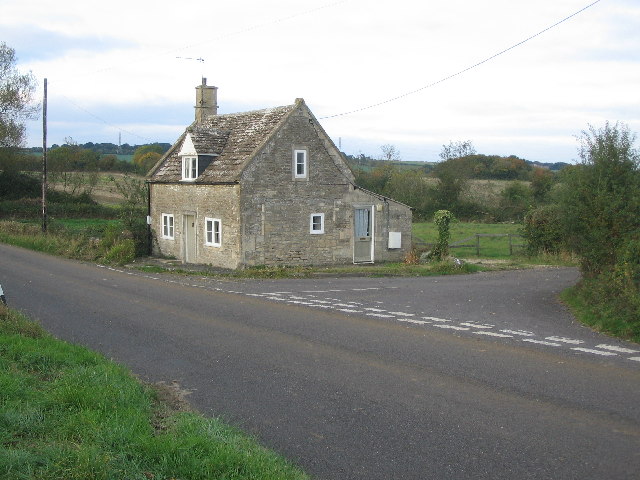
///using.deodorant.pocket. Near Monkton Farleigh, Wiltshire
Nearby Locations
Related Wikis
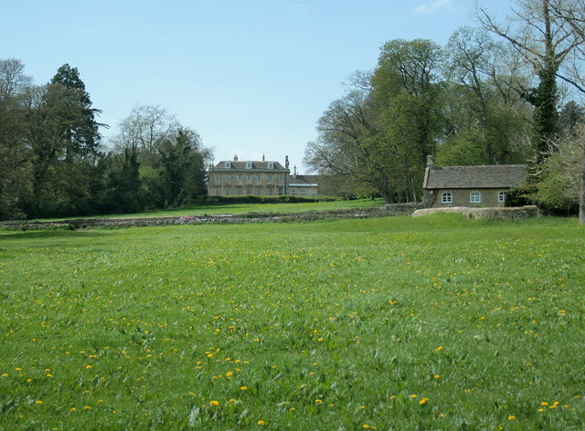
Monkton Farleigh Manor
Monkton Farleigh Manor is a Grade I listed country house close to the village of Monkton Farleigh in Wiltshire, England. Built on the site of a Cluniac...

Monkton Farleigh Priory
The Priory of St Mary Magdalene was a Cluniac priory in Monkton Farleigh, Wiltshire, England, in the 12th to 16th centuries. The priory was founded soon...

Monkton Farleigh
Monkton Farleigh is a village and civil parish in west Wiltshire, England, on high ground 3 miles (5 km) northwest of Bradford-on-Avon, and a similar distance...

South Wraxall
South Wraxall is a village and a civil parish in Wiltshire, England, 2.5 miles (4.0 km) north of Bradford on Avon. The village is to the east of the B3109...
Inwood, Warleigh
Inwood, Warleigh (grid reference ST800633) is a 56.9 hectare biological Site of Special Scientific Interest in Wiltshire, notified in 1988. Although the...

South Wraxall Manor
South Wraxall Manor is a Grade I listed country house which dates from the early 15th century, at South Wraxall in the English county of Wiltshire, about...

Warleigh Weir
Warleigh Weir is a river structure at Warleigh on the River Avon in Somerset, England, upstream from the city of Bath. The weir was originally built to...
Harman Lines
Harman Lines is a military installation of the British Army, which is part of Warminster Garrison on the Salisbury Plain. Harman Lines is on Sack Road...
Have you been to Ash Bed?
Leave your review of Ash Bed below (or comments, questions and feedback).