Lord's Wood
Wood, Forest in Yorkshire Craven
England
Lord's Wood

Lord's Wood is a picturesque forest located in the county of Yorkshire, England. Covering an area of approximately 500 acres, this woodland is renowned for its natural beauty and diverse range of flora and fauna. The wood is situated in a secluded area, nestled between rolling hills and meandering streams, offering visitors a peaceful and tranquil environment.
The forest is predominantly composed of deciduous trees, including oak, beech, and birch, which create a dense canopy overhead, casting dappled sunlight onto the forest floor. This creates a magical and ethereal atmosphere, particularly during the spring and summer months when the woodland is alive with vibrant wildflowers and the songs of birds.
Lord's Wood is a haven for nature enthusiasts, providing a habitat for numerous species of wildlife. The forest is home to deer, foxes, badgers, and a variety of bird species, making it a popular spot for birdwatching and wildlife photography.
Visitors to Lord's Wood can explore the numerous walking trails and footpaths that wind through the forest, offering breathtaking views and opportunities for relaxation and contemplation. There are also picnic areas and designated camping spots, allowing visitors to immerse themselves fully in the natural surroundings.
Managed by the local council, Lord's Wood is well-maintained, with regular tree planting and maintenance programs to ensure the health and longevity of the woodland. The forest also plays an important role in carbon sequestration and acts as a natural flood defense, contributing to the overall ecological health of the region.
Overall, Lord's Wood is a captivating natural treasure in Yorkshire, offering visitors a chance to escape the hustle and bustle of city life and reconnect with nature in a truly idyllic setting.
If you have any feedback on the listing, please let us know in the comments section below.
Lord's Wood Images
Images are sourced within 2km of 54.078059/-2.2873613 or Grid Reference SD8164. Thanks to Geograph Open Source API. All images are credited.


Lord's Wood is located at Grid Ref: SD8164 (Lat: 54.078059, Lng: -2.2873613)
Division: West Riding
Administrative County: North Yorkshire
District: Craven
Police Authority: North Yorkshire
What 3 Words
///press.dabbing.caravans. Near Settle, North Yorkshire
Nearby Locations
Related Wikis

Giggleswick
Giggleswick, a village and civil parish in the Craven district of North Yorkshire, England, lies on the B6480 road, less than 1 mile (1.6 km) north-west...

Settle College
Settle College (formerly Settle High School and Settle Girls' High School) is an 11–18 mixed, community secondary school and sixth form in Giggleswick...
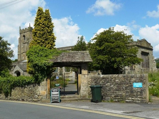
Church of St Alkelda, Giggleswick
The Church of St Alkelda, Giggleswick (historically St Alkald), is an Anglican church in the village of Giggleswick, North Yorkshire, England. St Alkelda...
Stackhouse, North Yorkshire
Stackhouse (sometimes written as Stack House), is a hamlet near to Giggleswick on the western bank of the River Ribble in North Yorkshire, England. �...

Settle Hydro
Settle Hydro is a micro hydroelectric scheme, owned by the community, in Settle, North Yorkshire, England. It is located on the River Ribble, at Settle...
Giggleswick School
Giggleswick School is a public school (English private boarding and day school) in Giggleswick, near Settle, North Yorkshire, England. == Early school... ==

Settle Rural District
Settle Rural District was an administrative district in the West Riding of Yorkshire, England. The rural district was named after the town of Settle and...
Settle rail crash
The Settle rail crash was a railway accident that occurred at Langcliffe near Settle, England, on the night of 21 January 1960 in which two trains collided...
Nearby Amenities
Located within 500m of 54.078059,-2.2873613Have you been to Lord's Wood?
Leave your review of Lord's Wood below (or comments, questions and feedback).