Stowell Wood

Wood, Forest in Wiltshire

England

Stowell Wood

Ordnance Survey Cut Mark This OS cut mark can be found on the west angle of St John the Baptist's Church. It marks a point 162.739m above mean sea level.
Ordnance Survey Cut Mark Credit: Adrian Dust

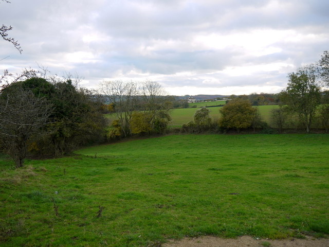
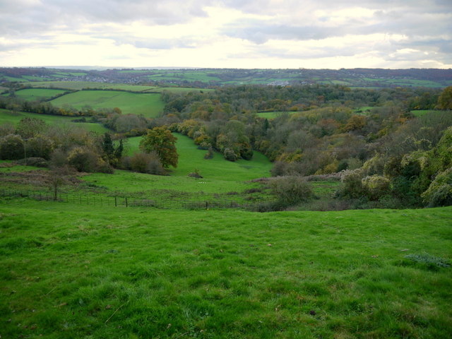
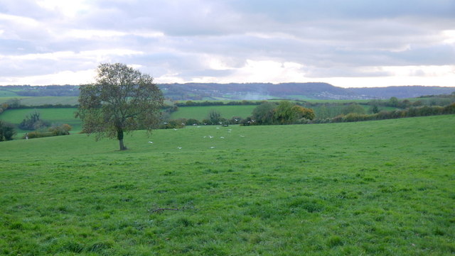
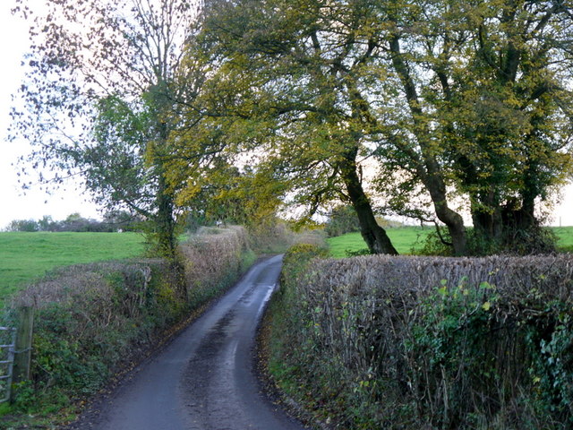
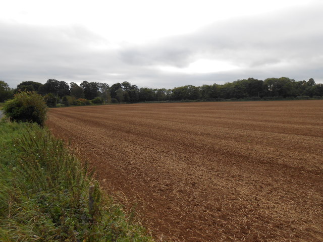
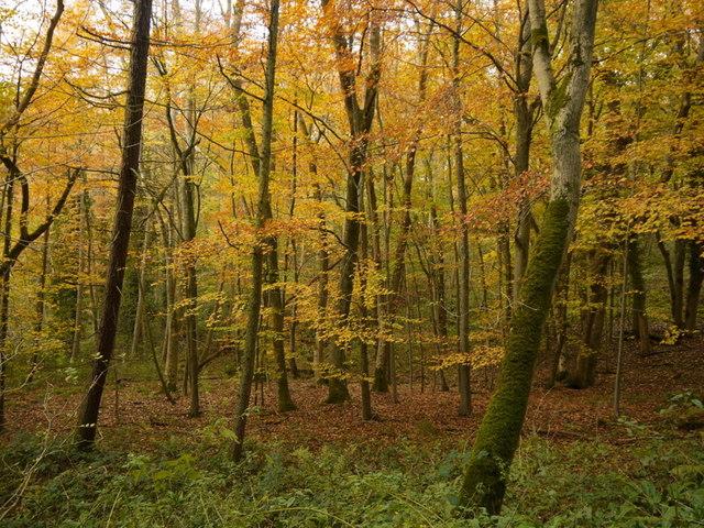
Stowell Wood is a beautiful forest located in Wiltshire, England. Covering an area of approximately 250 acres, it is one of the largest woodlands in the region. The forest is situated near the village of Stowell, which adds to its charm and accessibility.

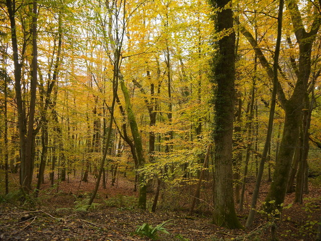
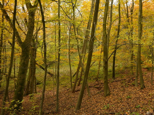
The wood is predominantly composed of broadleaf trees such as oak, beech, and ash, creating a diverse and vibrant ecosystem. These trees provide a rich habitat for a variety of wildlife, including birds, mammals, and insects. The forest floor is covered with a thick carpet of ferns, mosses, and wildflowers, adding to the enchanting atmosphere.

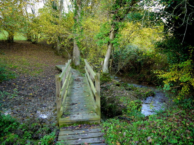
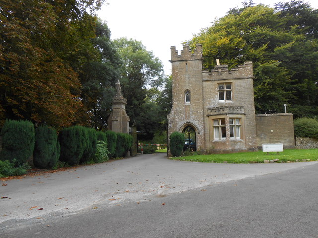
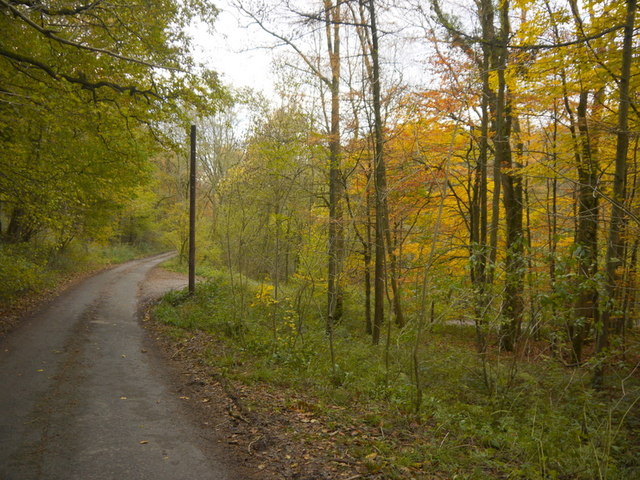
Stowell Wood offers a tranquil and peaceful environment, making it a popular destination for nature lovers, hikers, and photographers. There are several well-maintained footpaths that wind their way through the forest, allowing visitors to explore its beauty at their own pace. The dense canopy of trees provides shade during the summer months, creating a cool and refreshing atmosphere.

The wood is also a haven for birdwatchers, with many species of birds making their home in the forest. Visitors may spot woodpeckers, owls, and various songbirds while exploring the area. It is advisable to bring binoculars and a bird guide for a more rewarding birdwatching experience.

Overall, Stowell Wood is a treasure trove of natural beauty and biodiversity. Its scenic landscapes, diverse wildlife, and peaceful ambiance make it a must-visit destination for nature enthusiasts and those seeking a peaceful retreat in the heart of Wiltshire.

If you have any feedback on the listing, please let us know in the comments section below.
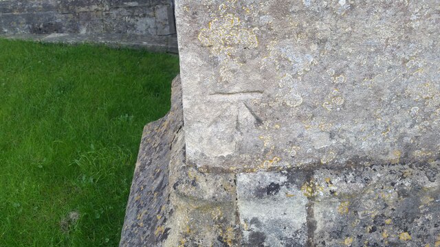
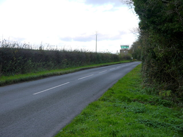
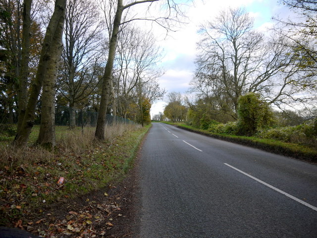
Stowell Wood Images

Images are sourced within 2km of 51.429702/-2.2732624 or Grid Reference ST8170. Thanks to Geograph Open Source API. All images are credited.

Ordnance Survey Cut Mark This OS cut mark can be found on the west angle of St John the Baptist's Church. It marks a point 162.739m above mean sea level.
Ordnance Survey Cut Mark
This OS cut mark can be found on the west angle of St John the Baptist's Church. It marks a point 162.739m above mean sea level.
Pastures above the Lid Brook Valley View south of the Bath Road, west of Colerne.
Pastures above the Lid Brook Valley
View south of the Bath Road, west of Colerne.
Bath Road Heading east towards Colerne.
The control tower for Colerne Airfield can be seen over the hedge, and in the next square north.
Bath Road
Heading east towards Colerne. The control tower for Colerne Airfield can be seen over the hedge, and in the next square north.
Bath Road, Colerne The road grazes the southern edge of the Gridsquare.
looking east towards Colerne.
Bath Road, Colerne
The road grazes the southern edge of the Gridsquare. looking east towards Colerne.
Bowl of landscape Part of the Lid Brook valley to the south of Colerne.
Land-use is mainly pasture and woodland.
Bowl of landscape
Part of the Lid Brook valley to the south of Colerne. Land-use is mainly pasture and woodland.
Seen better days A motor on the Old Bath Road, Colerne.
Seen better days
A motor on the Old Bath Road, Colerne.
View from Tutton Hill Pasture land drops away to the Lid Brook.
The Kingsdown Hill plateau can be seen in the distance.
A small flock of gulls are in the middle distance.
View from Tutton Hill
Pasture land drops away to the Lid Brook. The Kingsdown Hill plateau can be seen in the distance. A small flock of gulls are in the middle distance.
Footbridge over Lid Brook The stream flows left to right; the path ascends Tutton Hill to Colerne.
Footbridge over Lid Brook
The stream flows left to right; the path ascends Tutton Hill to Colerne.
Tutton Hill The lane ascends south out of Lidbrook Bottom towards Box.
Tutton Hill
The lane ascends south out of Lidbrook Bottom towards Box.
The SW end of the main runway on Colerne airfield
Little used hangars on the periphery of Colerne airfield
MoD satellite communication dishes on Colerne airfield
Fields Near Hunters Hall Hunters Hall now a residence that in earlier times was a working farm is hidden in the trees on the left of the image. The Fosse Way is behind the hedge on the left.
This field has recently been ploughed and seeded and still shows the straw waste from this years crop.
Fields Near Hunters Hall
Hunters Hall now a residence that in earlier times was a working farm is hidden in the trees on the left of the image. The Fosse Way is behind the hedge on the left. This field has recently been ploughed and seeded and still shows the straw waste from this years crop.
East Lodge to Ashwicke Hall This lodge located at an angle and to and right next to the Fosse Way is now the main entrance to Sabis School which is now located in the hall. The lodge was built in 1857-1860 as well as the current main house to designs by James Kellaway Colling, who also designed the stable. The Sabis school is a private education school that was first started in the 19th C in Lebanon.
East Lodge to Ashwicke Hall
This lodge located at an angle and to and right next to the Fosse Way is now the main entrance to Sabis School which is now located in the hall. The lodge was built in 1857-1860 as well as the current main house to designs by James Kellaway Colling, who also designed the stable. The Sabis school is a private education school that was first started in the 19th C in Lebanon.
Gold in Diamond Wood, 1 The beeches here are approaching their peak of colour this November 2013.
Gold in Diamond Wood, 1
The beeches here are approaching their peak of colour this November 2013.
Gold in Diamond Wood, 2 The beeches here are approaching their peak of colour this November 2013.
Gold in Diamond Wood, 2
The beeches here are approaching their peak of colour this November 2013.
Gold in Diamond Wood, 3 The beeches here are approaching their peak of colour this November 2013.
Gold in Diamond Wood, 3
The beeches here are approaching their peak of colour this November 2013.
Oakford Lane Minor road that descends through beech woodland to Motcombe on the southern edge of the Cotswolds.
Oakford Lane
Minor road that descends through beech woodland to Motcombe on the southern edge of the Cotswolds.
Show me another place!

Stowell Wood is located at Grid Ref: ST8170 (Lat: 51.429702, Lng: -2.2732624)

Unitary Authority: Wiltshire

Police Authority: Wiltshire

What 3 Words

///superhero.guideline.coach. Near Colerne, Wiltshire

Nearby Locations

Stowell Wood Medleys Wood

Related Wikis

Ditteridge

Ditteridge is a village in the civil parish of Box, Wiltshire, England. It is about 0.8 miles (1.3 km) northwest of Box village and 3.5 miles (6 km) west...

Colerne

Colerne is a village and civil parish in north Wiltshire, England. The village is about 3.5 miles (6 km) west of the town of Corsham and 7 miles (11 km...
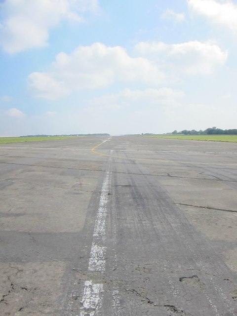
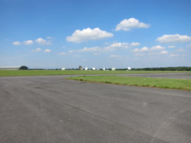
Colerne Airfield

Colerne Airfield (ICAO: EGUO), now known as Azimghur Barracks, is a British Army facility just north-west of the village of Colerne, Wiltshire, England...
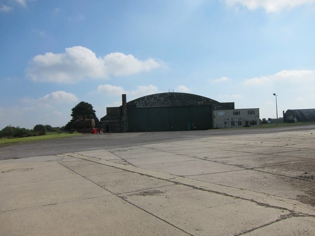
RAF Colerne

Royal Air Force Colerne or more simply RAF Colerne is a former Royal Air Force station which was on the outskirts of the village of Colerne in Wiltshire...

Box railway station

Box railway station served the town of Box in Wiltshire, England. The station was on the main Great Western Railway line from London to Bristol and was...

Frank's Wood

Frank's Wood is a woodland in Wiltshire, England, on the north-east edge of Colerne village. It covers an area of 1.96 hectares (4.84 acres). It is owned...

Ashley, Wiltshire

Ashley is a small village in the civil parish of Box in Wiltshire, England. Its nearest town is Corsham, which lies approximately 3.5 miles (5.6 km) east...

Box (Mill Lane) Halt railway station

Box (Mill Lane) Halt railway station served the town of Box in Wiltshire, England. The station was on the main Great Western Railway line from London to...

Nearby Amenities

Located within 500m of 51.429702,-2.2732624
Barrier: stile
Lat/Long: 51.4303758/-2.2772364
Barrier: stile
Lat/Long: 51.4306267/-2.2683872
Barrier: entrance
Lat/Long: 51.4276912/-2.2709178
Barrier: cattle_grid
Lat/Long: 51.432194/-2.2702952
Barrier: cattle_grid
Lat/Long: 51.4285806/-2.2795111
Barrier: cattle_grid
Lat/Long: 51.428085/-2.2790938
The data included in this document is from www.openstreetmap.org. The data is made available under ODbL.

Have you been to Stowell Wood?

Leave your review of Stowell Wood below (or comments, questions and feedback).