Barber's Wood

Wood, Forest in Somerset Mendip

England

Barber's Wood

Old Milestone, (Former A361) Frome Road, South West of Beckington The milestone is located between Oldford and Beckington in the roadside hedge on the west side of the road. Parish of Beckington (Mendip District). Cast iron post, C&M Classical iron casting design, erected by the Black Dog turnpike trust in the 19th century.

Inscription reads:-
BATH
11
MILES
FROME
2

Somerset HER number: 19330 <span class="nowrap"><a title="https://www.heritagegateway.org.uk/Gateway/Results_Single.aspx?uid=19330&resourceID=100" rel="nofollow ugc noopener" href="https://www.heritagegateway.org.uk/Gateway/Results_Single.aspx?uid=19330&resourceID=100">Link</a><img style="margin-left:2px;" alt="External link" title="External link - shift click to open in new window" src="https://s1.geograph.org.uk/img/external.png" width="10" height="10"/></span>

Milestone Society National ID: SO_BAFR11
Old Milestone, (Former A361) Frome Road, South West of Beckington Credit: Janet Dowding

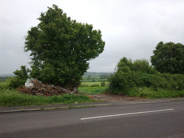
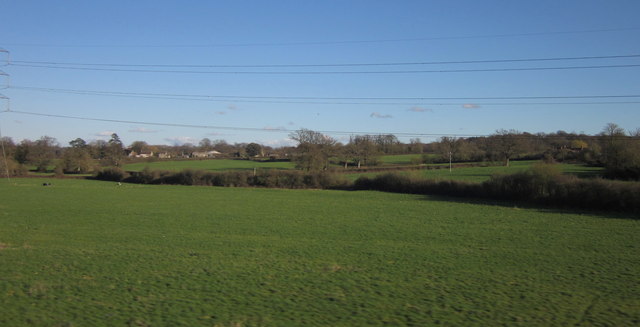
Barber's Wood is a picturesque woodland located in Somerset, England. Covering an area of approximately 100 acres, this ancient forest boasts an abundance of natural beauty and a diverse range of flora and fauna. It is situated near the small village of Barber's Cross, surrounded by rolling hills and verdant meadows.

The wood is predominantly composed of broadleaf trees, such as oak, beech, and ash, which create a dense canopy, providing shade and shelter for the myriad of wildlife that call this woodland home. The forest floor is carpeted with a variety of wildflowers, including bluebells, primroses, and wood anemones, which bloom in vibrant colors during the spring months.

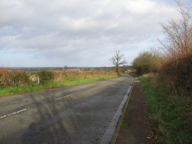
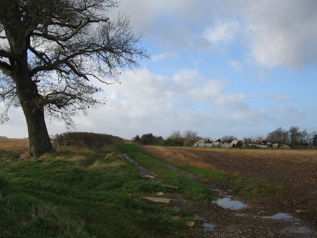
Barber's Wood is crisscrossed by a network of well-maintained footpaths, making it easily accessible for visitors to explore and enjoy its natural wonders. These trails lead visitors through enchanting glades, over babbling streams, and past ancient stone ruins, creating a sense of stepping back in time.

The wood is a haven for wildlife enthusiasts, offering the opportunity to spot a wide range of creatures in their natural habitat. Red deer, foxes, and badgers are frequently sighted, while birdwatchers can observe a variety of species, including woodpeckers, owls, and warblers.

Due to its ecological significance and natural beauty, Barber's Wood is designated as a Site of Special Scientific Interest (SSSI), protecting its unique ecosystem and ensuring its preservation for future generations to enjoy.

If you have any feedback on the listing, please let us know in the comments section below.

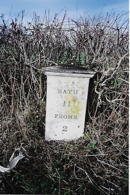
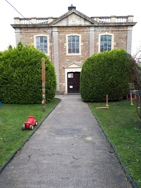
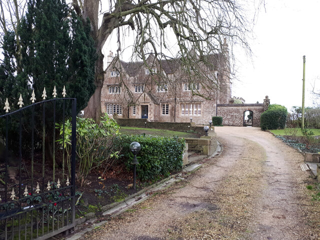
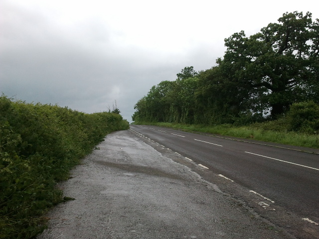
Barber's Wood Images

Images are sourced within 2km of 51.253475/-2.2722298 or Grid Reference ST8150. Thanks to Geograph Open Source API. All images are credited.

Old Milestone, (Former A361) Frome Road, South West of Beckington The milestone is located between Oldford and Beckington in the roadside hedge on the west side of the road. Parish of Beckington (Mendip District). Cast iron post, C&M Classical iron casting design, erected by the Black Dog turnpike trust in the 19th century.

Inscription reads:-
BATH
11
MILES
FROME
2

Somerset HER number: 19330 <span class="nowrap"><a title="https://www.heritagegateway.org.uk/Gateway/Results_Single.aspx?uid=19330&resourceID=100" rel="nofollow ugc noopener" href="https://www.heritagegateway.org.uk/Gateway/Results_Single.aspx?uid=19330&resourceID=100">Link</a><img style="margin-left:2px;" alt="External link" title="External link - shift click to open in new window" src="https://s1.geograph.org.uk/img/external.png" width="10" height="10"/></span>

Milestone Society National ID: SO_BAFR11
Old Milestone, (Former A361) Frome Road, South West of Beckington
The milestone is located between Oldford and Beckington in the roadside hedge on the west side of the road. Parish of Beckington (Mendip District). Cast iron post, C&M Classical iron casting design, erected by the Black Dog turnpike trust in the 19th century. Inscription reads:- BATH 11 MILES FROME 2 Somerset HER number: 19330 LinkExternal link Milestone Society National ID: SO_BAFR11
Beckington Baptist Chapel Grade II listed former Baptist Chapel, now a day nursery. <span class="nowrap"><a title="https://britishlistedbuildings.co.uk/101296104-baptist-chapel-forecourt-wall-gate-piers-and-gates-beckington#.Yhp0djjP2Uk" rel="nofollow ugc noopener" href="https://britishlistedbuildings.co.uk/101296104-baptist-chapel-forecourt-wall-gate-piers-and-gates-beckington#.Yhp0djjP2Uk">Link</a><img style="margin-left:2px;" alt="External link" title="External link - shift click to open in new window" src="https://s1.geograph.org.uk/img/external.png" width="10" height="10"/></span>
Beckington Baptist Chapel
Grade II listed former Baptist Chapel, now a day nursery. LinkExternal link
Beckington House Grade II listed former 17th century manor house, restored mid-19th century. <span class="nowrap"><a title="https://britishlistedbuildings.co.uk/101345321-beckington-manor-attached-garden-wall-gate-and-piers-beckington#.Yhp2DTjP2Uk" rel="nofollow ugc noopener" href="https://britishlistedbuildings.co.uk/101345321-beckington-manor-attached-garden-wall-gate-and-piers-beckington#.Yhp2DTjP2Uk">Link</a><img style="margin-left:2px;" alt="External link" title="External link - shift click to open in new window" src="https://s1.geograph.org.uk/img/external.png" width="10" height="10"/></span>
Beckington House
Grade II listed former 17th century manor house, restored mid-19th century. LinkExternal link
Layby on Frome Road, heading towards Beckington
Pile of rubbish opposite the layby on Frome Road
A36 at the bottom of Black Dog Hill Seen from the lay-by to the south of the road.
A36 at the bottom of Black Dog Hill
Seen from the lay-by to the south of the road.
A36 towards Bath
A36 towards Bath
Countryside at Berkley Marsh Looking towards the village of Berkley (left of centre) from a train on the main railway line between Westbury and Frome. Pylon lines, drainage channels and hedges cross this low-lying area of pasture.
Countryside at Berkley Marsh
Looking towards the village of Berkley (left of centre) from a train on the main railway line between Westbury and Frome. Pylon lines, drainage channels and hedges cross this low-lying area of pasture.
Passing Berkley Marsh The west of England mainline between Westbury and Taunton passes to the west of the village of Berkley Marsh.  This view is taken early on a mid-August morning from Marsh Lane looking towards Westbury.   The cows are all standing up, so it should be a fine day.
Passing Berkley Marsh
The west of England mainline between Westbury and Taunton passes to the west of the village of Berkley Marsh. This view is taken early on a mid-August morning from Marsh Lane looking towards Westbury. The cows are all standing up, so it should be a fine day.
Looking Towards Frome The West of England mainline between Westbury and Taunton viewed from Marsh Bridge on Marsh Lane early on a mid-August morning.
Looking Towards Frome
The West of England mainline between Westbury and Taunton viewed from Marsh Bridge on Marsh Lane early on a mid-August morning.
Waitrose Delivery A Waitrose truck passes northbound up the A361 towards Melksham on the outskirts of Frome.   Behind, on the right, is the Frome Premier Inn with its Frome Flyer restaurant located on Jenson Avenue - a reference to Formula One driver Jenson Button, who is from Frome.
Waitrose Delivery
A Waitrose truck passes northbound up the A361 towards Melksham on the outskirts of Frome. Behind, on the right, is the Frome Premier Inn with its Frome Flyer restaurant located on Jenson Avenue - a reference to Formula One driver Jenson Button, who is from Frome.
Nearing Journey's End Class 43, 43132, leads a First Great Western HST set towards Clink Road Junction at Coalway Lane.   The bridge in the distance carries the A361 over the railway.   The pink flowers of the Rosebay Willowherb are still going strong in this late summer view.

This train is the (1J93) 18:06 service from Paddington which will terminate at Frome at 20:06.
Nearing Journey's End
Class 43, 43132, leads a First Great Western HST set towards Clink Road Junction at Coalway Lane. The bridge in the distance carries the A361 over the railway. The pink flowers of the Rosebay Willowherb are still going strong in this late summer view. This train is the (1J93) 18:06 service from Paddington which will terminate at Frome at 20:06.
Berkley Marsh Looking west towards Frome at Berkley on the Great Western Main Line.
Berkley Marsh
Looking west towards Frome at Berkley on the Great Western Main Line.
A361, Frome Bypass Looking north along the A361 Frome Bypass towards the roundabout at the junction with the B3090. Taken from the road overbridge carrying Whitechapel Lane over the bypass.
A361, Frome Bypass
Looking north along the A361 Frome Bypass towards the roundabout at the junction with the B3090. Taken from the road overbridge carrying Whitechapel Lane over the bypass.
A361, Frome Bypass Looking south from the road overbridge carrying Whitechapel Lane over the A361 frome bypass.  The works associated with a new business park development (at ST798495 ) can be seen in the distance at centre.
A361, Frome Bypass
Looking south from the road overbridge carrying Whitechapel Lane over the A361 frome bypass. The works associated with a new business park development (at ST798495 ) can be seen in the distance at centre.
Bonnyleigh Hill A view looking to the northeast over a stubble field on the north facing slope of Bonnyleigh Hill, towards Beckington.  Frome Road, the old A361, is behind  the hedge at right.
Bonnyleigh Hill
A view looking to the northeast over a stubble field on the north facing slope of Bonnyleigh Hill, towards Beckington. Frome Road, the old A361, is behind the hedge at right.
Frome Road A view looking northeast along Frome Road towards Beckington. This was the main A361 before the opening of the Beckington by-pass.
Frome Road
A view looking northeast along Frome Road towards Beckington. This was the main A361 before the opening of the Beckington by-pass.
Bonnyleigh Hill A view looking west towards a collection of old pig sheds on Bonnyleigh Hill
Bonnyleigh Hill
A view looking west towards a collection of old pig sheds on Bonnyleigh Hill
Show me another place!

Barber's Wood is located at Grid Ref: ST8150 (Lat: 51.253475, Lng: -2.2722298)

Administrative County: Somerset

District: Mendip

Police Authority: Avon and Somerset

What 3 Words

///bookshop.dressy.forum. Near Chapmanslade, Wiltshire

Nearby Locations

Barber's Wood

Related Wikis

Church of St Mary, Berkley

The Church of St Mary is a Church of England parish church in Berkley, Somerset. It is a Grade II* listed building built in 1751. == History == The church...

The Wool Hall

The Wool Hall is a recording studio in the village of Beckington, near Frome, Somerset, England. It was originally a residential studio set up by Tears...

Beckington Castle

Beckington Castle is a historic house in the village of Beckington, Somerset, England. It is a Grade II* listed building.It was built in the early 17th...

Beckington

Beckington is a village and civil parish in Somerset, England, across the River Frome from Lullington about three miles north of Frome. According to the...

The Abbey, Beckington

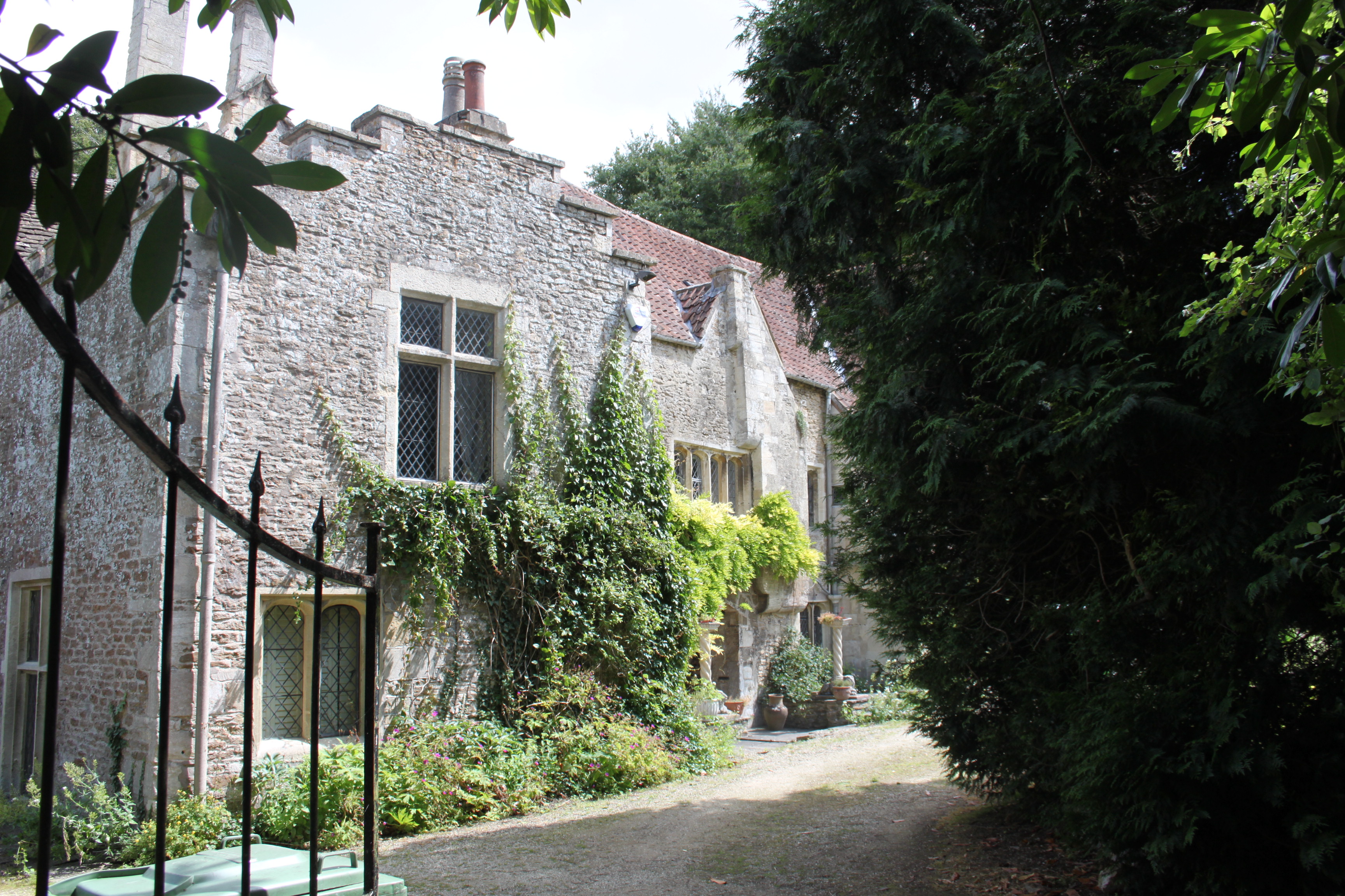
The Abbey, Beckington in Beckington, Somerset, England is a historic building that was founded as a monastic grange and also used as a college for priests...

Berkley, Somerset

Berkley is a dispersed settlement and civil parish in Somerset, England. According to the 2011 census the parish had a population of 344. It lies on the...

Seymours Court Farmhouse, Beckington

Seymours Court Farmhouse in Beckington, Somerset, England, dates from the 15th century and is a Grade I listed building.It was the home of Thomas Seymour...

Rudge, Somerset

Rudge is a hamlet in the civil parish of Beckington in the Mendip district of Somerset, England. Its nearest town is Frome. == Location == The hamlet is...

Related Videos

🇬🇧 Marketplace Magic: Your Guide to the Best Street Market Experience in England! - Frome Market!

You can read in detail about this beautiful monthly market from their official website - https://thefromeindependent.org.uk/visit/ ...

A Walk Around Beckington

Join me as I walk around the village of Beckington in Somerset and explore many interesting features. Music: Music by DJ GONZ ...

Haix Protector Timber Out Of The Box

Introducing a new and improved Out Of The Box series. To kick things off, we have unboxed the new Haix Protector Timber for ...

Nearby Amenities

Located within 500m of 51.253475,-2.2722298
Material: metal
Power: tower
Lat/Long: 51.2555036/-2.2783063
Power: pole
Lat/Long: 51.2500267/-2.2742933
Power: pole
Lat/Long: 51.250893/-2.272405
Power: pole
Lat/Long: 51.2516183/-2.2707528
Power: pole
Lat/Long: 51.2524308/-2.2690094
Power: pole
Lat/Long: 51.253203/-2.267223
Fixme: Continue footpath
Lat/Long: 51.2579296/-2.2715715
The data included in this document is from www.openstreetmap.org. The data is made available under ODbL.

Have you been to Barber's Wood?

Leave your review of Barber's Wood below (or comments, questions and feedback).