Chelford Heath
Wood, Forest in Cheshire
England
Chelford Heath
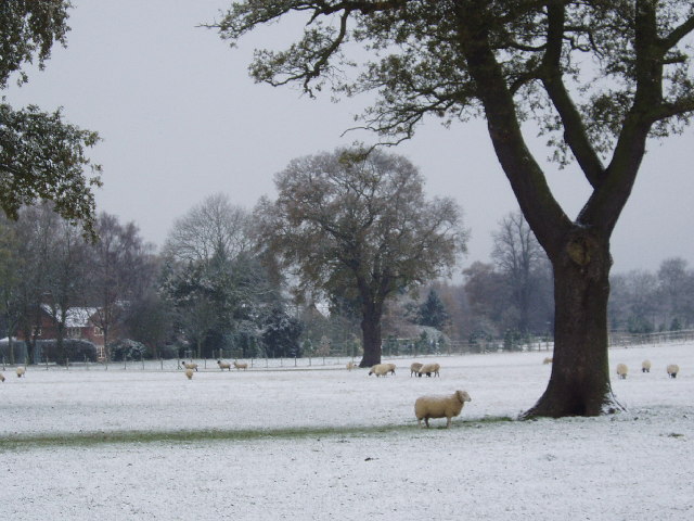
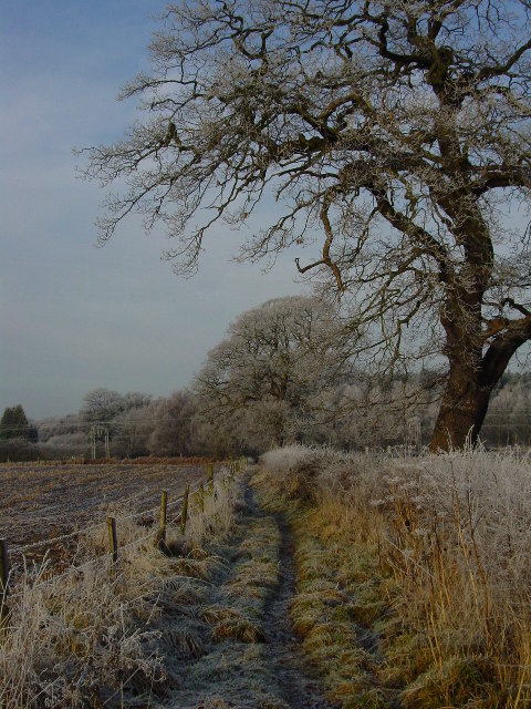
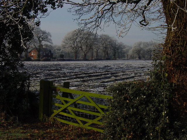
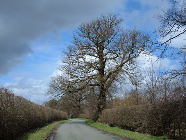
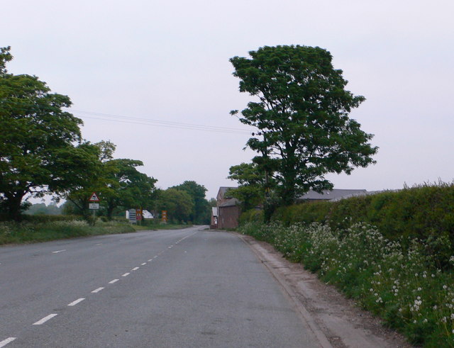
Chelford Heath is a picturesque area located in Cheshire, England. Situated in the northwest of the county, it covers an expansive area of wood and forest, offering a serene and tranquil environment for visitors to enjoy.
The heath is characterized by its dense woodlands and lush greenery, creating a stunning natural landscape. The area boasts a variety of tree species, including oak, beech, and birch, which provide a rich and diverse habitat for local wildlife. Visitors can expect to encounter a range of bird species, such as woodpeckers and owls, as well as small mammals like squirrels and hedgehogs.
Chelford Heath is a popular destination for nature enthusiasts and outdoor enthusiasts alike. The area offers a network of well-marked hiking trails, providing opportunities for exploration and adventure. Whether walking through the woods or admiring the scenic views from elevated points, visitors are sure to be captivated by the beauty of the surroundings.
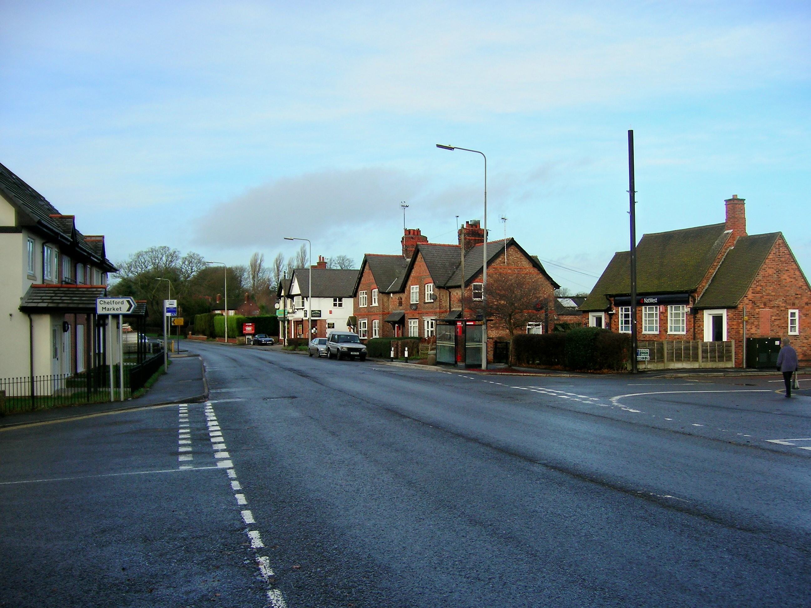
In addition to its natural attractions, Chelford Heath is also home to a number of historical and cultural landmarks. Nearby, there are remnants of ancient settlements, including burial mounds and stone circles, offering insight into the area's rich history. Additionally, the heath is located in close proximity to the charming village of Chelford, which offers quaint shops, pubs, and cafes for visitors to enjoy.
Overall, Chelford Heath is a hidden gem in Cheshire, offering a peaceful escape from the hustle and bustle of everyday life. With its stunning woodlands, diverse wildlife, and historical significance, it is a must-visit destination for nature lovers and history enthusiasts alike.
If you have any feedback on the listing, please let us know in the comments section below.
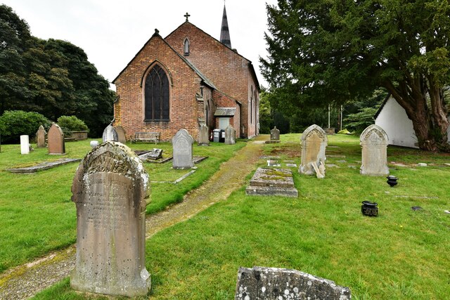
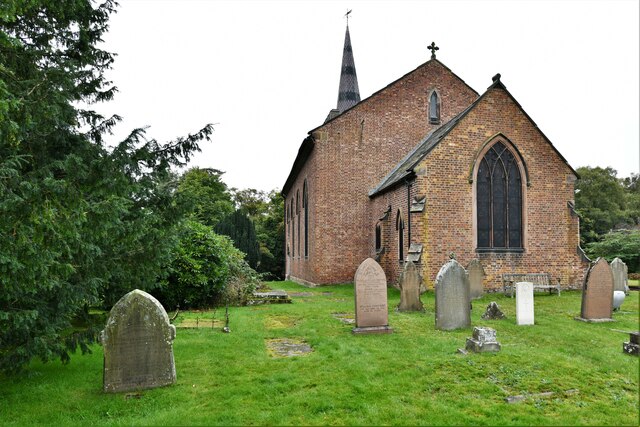
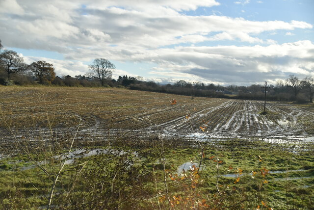
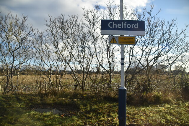
Chelford Heath Images
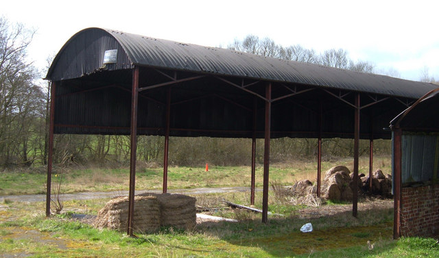
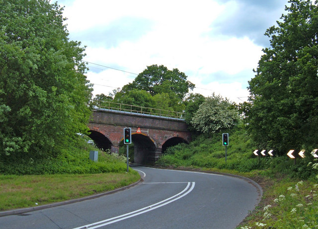
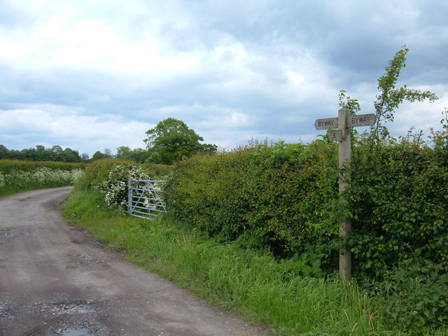
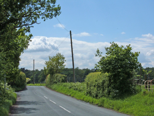
Images are sourced within 2km of 53.268461/-2.2862775 or Grid Reference SJ8174. Thanks to Geograph Open Source API. All images are credited.

Chelford Heath is located at Grid Ref: SJ8174 (Lat: 53.268461, Lng: -2.2862775)
Unitary Authority: Cheshire East
Police Authority: Cheshire
What 3 Words
///ponies.brushing.downfield. Near Chelford, Cheshire
Nearby Locations
Related Wikis

James Irlam
James Irlam & Sons Ltd (later trading as James Irlam Logistics) was a British road haulage company founded in the 1940s by James Irlam. It was owned and...

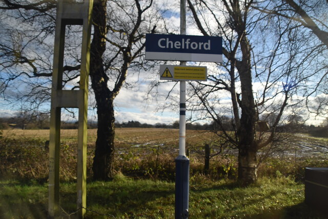
Chelford railway station
Chelford railway station serves the village of Chelford in Cheshire, England. The station is 14+1⁄4 miles (22.9 km) north of Crewe on the Crewe to Manchester...
Chelford
Chelford is a village and civil parish in Cheshire, England, near to the junction of the A537 and A535 roads six miles (10 km) west of Macclesfield and...

Chelford rail accident
The Chelford rail accident occurred on 22 December 1894 at Chelford railway station. The stationmaster was supervising shunting operations, during which...
Nearby Amenities
Located within 500m of 53.268461,-2.2862775Have you been to Chelford Heath?
Leave your review of Chelford Heath below (or comments, questions and feedback).