Whitehouse Coppice
Wood, Forest in Worcestershire Malvern Hills
England
Whitehouse Coppice

Whitehouse Coppice is a picturesque wood located in Worcestershire, England. Covering an area of approximately 100 acres, it is nestled in the heart of the county and is a popular destination for nature lovers and outdoor enthusiasts.
The coppice is characterized by its diverse range of trees, including oak, ash, birch, and beech. These trees provide a rich habitat for a variety of wildlife, making it an important ecological site. Visitors to the coppice can expect to see a plethora of bird species, such as woodpeckers, owls, and various songbirds.
The woodland floor is blanketed with an array of wildflowers and ferns, creating a vibrant and colorful landscape. During springtime, bluebells carpet the forest floor, creating a breathtaking sight. The wood is also home to several species of fungi, adding to its biodiversity.
Numerous walking trails wind their way through the coppice, allowing visitors to explore the serene surroundings and immerse themselves in nature. These trails range in difficulty, catering to both casual strollers and more experienced hikers. Along the way, benches and picnic areas provide opportunities for visitors to relax and enjoy the peaceful atmosphere.
Whitehouse Coppice is managed by the Worcestershire Wildlife Trust, who work tirelessly to protect and preserve the natural beauty of the area. They also organize regular events and educational programs to promote awareness and appreciation of the woodland and its inhabitants.
Overall, Whitehouse Coppice offers a tranquil retreat from the hustle and bustle of daily life, providing a sanctuary for nature enthusiasts and a haven for wildlife.
If you have any feedback on the listing, please let us know in the comments section below.
Whitehouse Coppice Images
Images are sourced within 2km of 52.160479/-2.2830115 or Grid Reference SO8051. Thanks to Geograph Open Source API. All images are credited.


Whitehouse Coppice is located at Grid Ref: SO8051 (Lat: 52.160479, Lng: -2.2830115)
Administrative County: Worcestershire
District: Malvern Hills
Police Authority: West Mercia
What 3 Words
///mills.intensely.rebounded. Near Kempsey, Worcestershire
Nearby Locations
Related Wikis
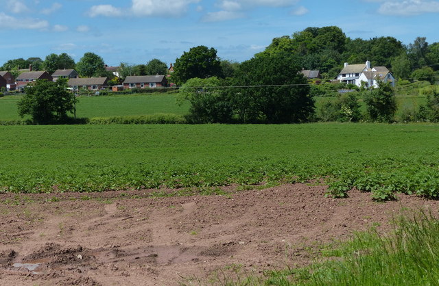
Bowling Green, Worcestershire
Bowling Green is a village in Worcestershire, England.
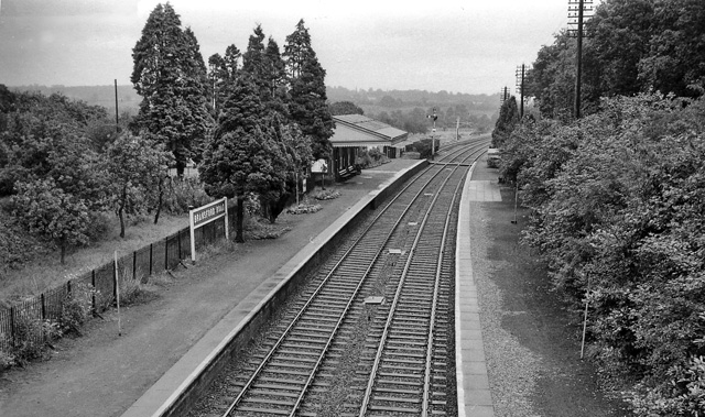
Bransford Road railway station
Bransford Road railway station was a station in Bransford, Worcestershire, England. The station was opened in 1860 and closed on 5 April 1965. The original...
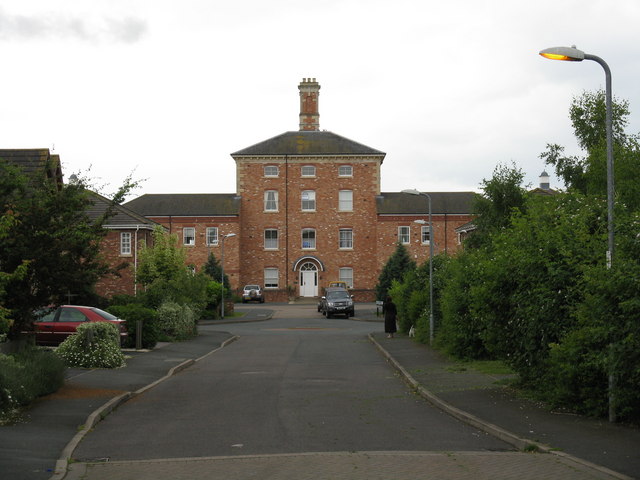
Powick Hospital
Powick Hospital, which opened in 1847 was a psychiatric facility located on 552 acres (223 ha) outside the village of Powick, near Malvern, Worcestershire...

West Worcestershire (UK Parliament constituency)
West Worcestershire is a constituency in Worcestershire represented in the House of Commons of the UK Parliament since 2010 by Harriett Baldwin, a Conservative...

Newland Halt railway station
Newland Halt railway station was a station in Newland, Worcestershire, England. The station was opened on 18 March 1929 and closed on 5 April 1965. �...
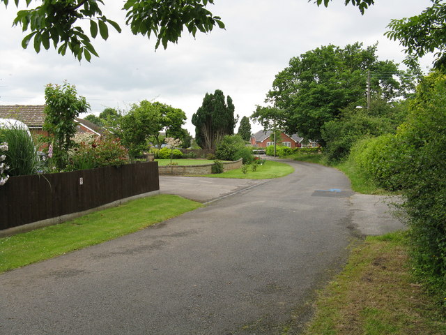
Leigh and Bransford
Leigh and Bransford are two separate civil parishes in the district of Malvern Hills of the county of Worcestershire, England, with a single parish council...

Bransford
Bransford is a village and civil parish in the Malvern Hills district of the county of Worcestershire, England. It is situated close to the River Teme...

Powick
Powick is a village and civil parish in the Malvern Hills district of Worcestershire, England, located two miles south of the city of Worcester and four...
Nearby Amenities
Located within 500m of 52.160479,-2.2830115Have you been to Whitehouse Coppice?
Leave your review of Whitehouse Coppice below (or comments, questions and feedback).