Slidden's Covert

Wood, Forest in Gloucestershire Stroud

England

Slidden's Covert

Stone Stile, Uley On Gloucestershire footpaths CUL42, CUL39 & CUL45 West of the village, looking NE. The view NW is <a href="https://www.geograph.org.uk/photo/7309120">ST7998 : Stone Stile, Uley</a>.
Stone Stile, Uley Credit: Jayne Tovey

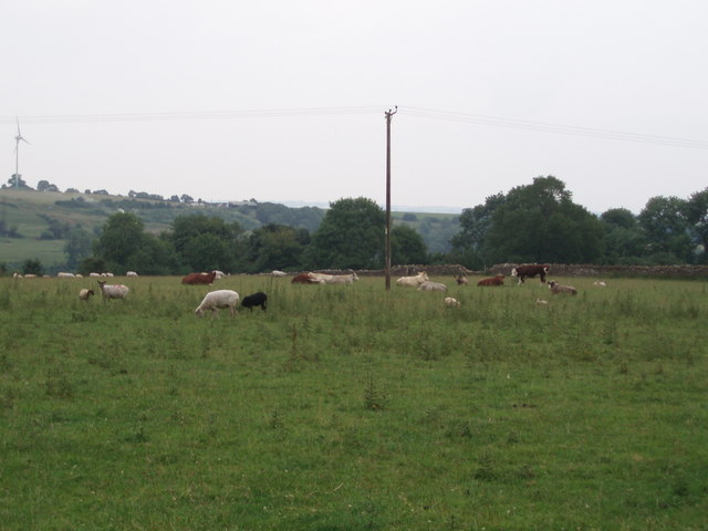
Slidden's Covert is a picturesque woodland located in the county of Gloucestershire, England. Situated within the larger Forest of Dean, this charming woodland covers an area of approximately 200 acres. The forest is renowned for its natural beauty and is a popular destination for nature enthusiasts and outdoor activities.

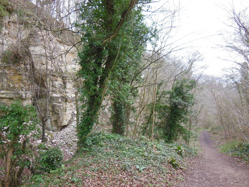
The woodland is predominantly composed of an assortment of native tree species, including oak, beech, and birch. This rich variety of flora creates a vibrant and diverse ecosystem, supporting a wide range of wildlife. Visitors to Slidden's Covert can expect to encounter a plethora of bird species, such as woodpeckers, owls, and songbirds, as well as various mammals, including deer, foxes, and squirrels.

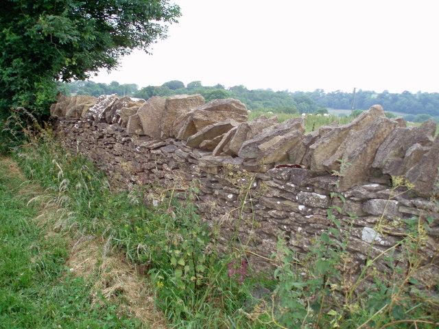
The woodland offers a network of well-maintained walking trails, allowing visitors to explore its enchanting surroundings. These pathways wind through the forest, offering stunning views of the verdant landscape and providing opportunities to observe the local wildlife in their natural habitat. Additionally, there are designated picnic areas and benches scattered throughout the woodland, providing a peaceful setting for visitors to relax and enjoy the tranquility of the forest.

Slidden's Covert is also home to a diverse array of plant life, with wildflowers and ferns adorning the forest floor during the spring and summer months. This abundance of plant species adds to the visual appeal of the woodland, creating a vibrant and colorful atmosphere.

Overall, Slidden's Covert in Gloucestershire is a captivating woodland retreat, offering visitors the chance to immerse themselves in nature and experience the beauty of the Forest of Dean.

If you have any feedback on the listing, please let us know in the comments section below.

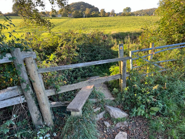
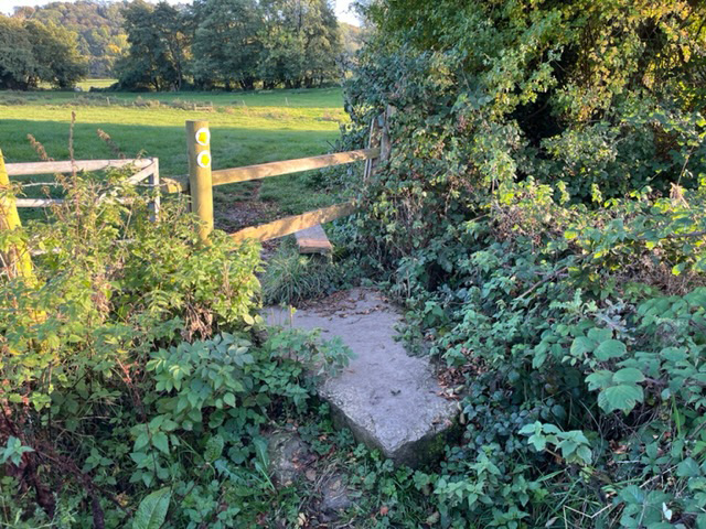
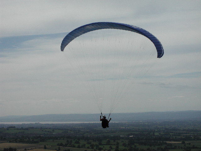
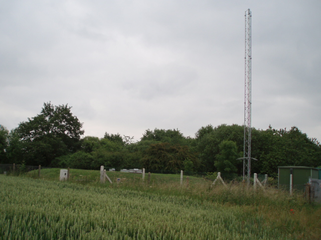
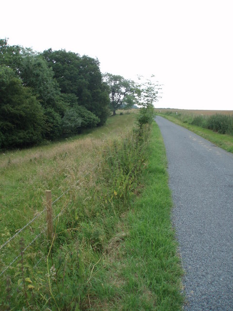
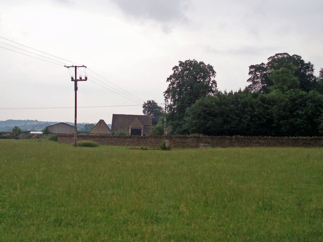
Slidden's Covert Images

Images are sourced within 2km of 51.697745/-2.2805761 or Grid Reference ST8099. Thanks to Geograph Open Source API. All images are credited.

Stone Stile, Uley On Gloucestershire footpaths CUL42, CUL39 & CUL45 West of the village, looking NE. The view NW is <a href="https://www.geograph.org.uk/photo/7309120">ST7998 : Stone Stile, Uley</a>.
Stone Stile, Uley
On Gloucestershire footpaths CUL42, CUL39 & CUL45 West of the village, looking NE. The view NW is ST7998 : Stone Stile, Uley.
Stone Stile, Uley On Gloucestershire footpaths CUL42, CUL39 & CUL45 West of the village, looking NW. The view NE is <a href="https://www.geograph.org.uk/photo/7309117">ST7998 : Stone Stile, Uley</a>.
Stone Stile, Uley
On Gloucestershire footpaths CUL42, CUL39 & CUL45 West of the village, looking NW. The view NE is ST7998 : Stone Stile, Uley.
Hetty Pegler's Tump Situated right in the SE corner of the grid square is this ancient longbarrow
Hetty Pegler's Tump
Situated right in the SE corner of the grid square is this ancient longbarrow
Frocester Hill Viewpoint Severn Valley view
Frocester Hill Viewpoint
Severn Valley view
View overlooking the Severn Vale from Hill This sort of view is one of the reasons we paraglide.  We can get interesting views of geographical features from the air as well!
View overlooking the Severn Vale from Hill
This sort of view is one of the reasons we paraglide. We can get interesting views of geographical features from the air as well!
Reservoir A small covered reservoir beside the B4066 managed by Severn Water.
Reservoir
A small covered reservoir beside the B4066 managed by Severn Water.
Road to Upper Lutheredge Farm
Field Farm The main building of Field Farm is nestled behind the trees, not visible to the passer-by.  This photograph shows the outbuildings and wall which surrounds the farm complex.
Field Farm
The main building of Field Farm is nestled behind the trees, not visible to the passer-by. This photograph shows the outbuildings and wall which surrounds the farm complex.
Livestock scene A mixture of cattle and goats in this field on the outskirts of Nympsfield.  The windmill on Lynch Knoll can be seen in the far left corner of the photograph.
Livestock scene
A mixture of cattle and goats in this field on the outskirts of Nympsfield. The windmill on Lynch Knoll can be seen in the far left corner of the photograph.
Dry stone wall These dry stone walls are made of oolitic limestone (Cotswold stone) and are in good condition compared to many.
Dry stone wall
These dry stone walls are made of oolitic limestone (Cotswold stone) and are in good condition compared to many.
Bridleway and Coaley wood
Cam Long Down A view across fields and hedges towards the higher land of Cam Long Down.
Cam Long Down
A view across fields and hedges towards the higher land of Cam Long Down.
The 'Old Crown' pub, Uley, Dursley A friendly pub with a good range of real ales, food and an open fire. Not far from the Cotswold Way and thus popular with ramblers.
The 'Old Crown' pub, Uley, Dursley
A friendly pub with a good range of real ales, food and an open fire. Not far from the Cotswold Way and thus popular with ramblers.
Sheep in snow-covered parkland, near Owlpen Stables Sheep which would normally seem white are decidedly cream-coloured against the dazzling white of the snow.  Clumps of parkland trees stand out starkly against the brilliant blue sky.
Sheep in snow-covered parkland, near Owlpen Stables
Sheep which would normally seem white are decidedly cream-coloured against the dazzling white of the snow. Clumps of parkland trees stand out starkly against the brilliant blue sky.
Upper Lutheredge Farm
Owlpen The hamlet of Owlpen, east of Uley, Gloucestershire.
Owlpen
The hamlet of Owlpen, east of Uley, Gloucestershire.
Millpond, Owlpen The pond behind the Grist Mill at Owlpen. In the background is Ruin Wood.
Millpond, Owlpen
The pond behind the Grist Mill at Owlpen. In the background is Ruin Wood.
Owlpen Manor The manor straddles a gridline; this eastern facade, used as the main entrance, is in ST8098.
Owlpen Manor
The manor straddles a gridline; this eastern facade, used as the main entrance, is in ST8098.
Show me another place!

Slidden's Covert is located at Grid Ref: ST8099 (Lat: 51.697745, Lng: -2.2805761)

Administrative County: Gloucestershire

District: Stroud

Police Authority: Gloucestershire

What 3 Words

///cared.rephrase.community. Near Nailsworth, Gloucestershire

Related Wikis

Nympsfield

Nympsfield is a village and civil parish in the English county of Gloucestershire. It is located around four miles south-west of the town of Stroud. As...

Easter Park Farm Quarry

Easter Park Farm Quarry (grid reference SO810009) is a 0.15-hectare (0.37-acre) geological Site of Special Scientific Interest in Gloucestershire, notified...

Woodchester Park SSSI

Woodchester Park (grid reference SO820014) is a 214.9-hectare (531-acre) biological Site of Special Scientific Interest in Gloucestershire, notified in...

Owlpen

Owlpen is a small village and civil parish in the Stroud district of Gloucestershire, England, set in a valley in the Cotswold hills. It is about one mile...

Owlpen Manor

Owlpen Manor is a Tudor Grade I listed manor house of the Mander family, situated in the village of Owlpen in the Stroud district in Gloucestershire, England...
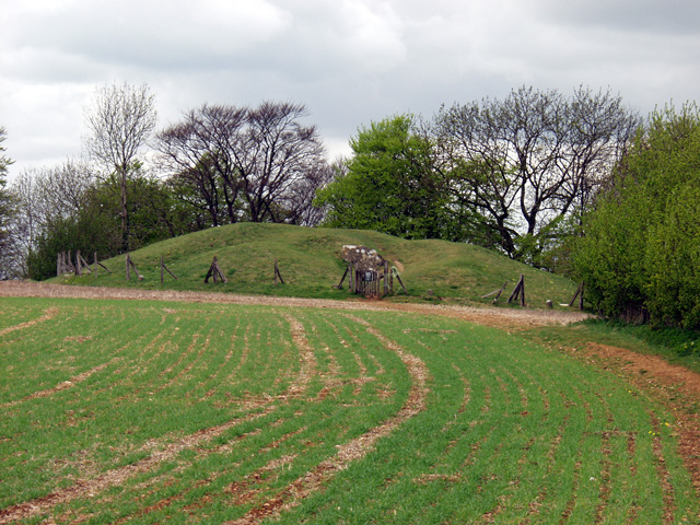
Uley Long Barrow

Uley Long Barrow, also known locally as Hetty Pegler's Tump, is a Neolithic burial mound, near the village of Uley, Gloucestershire, England. == Details... ==
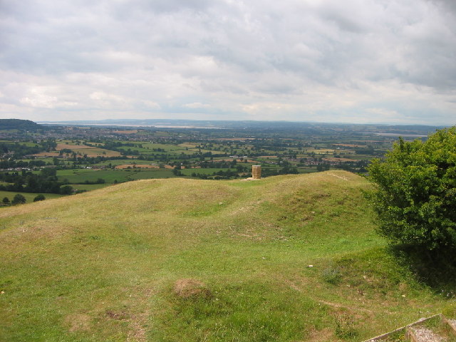
Coaley Peak

Coaley Peak is a picnic site and viewpoint in the English county of Gloucestershire. Located about 4 miles (6.4 km) south-west of the town of Stroud overlooking...

Coaley Wood Quarries

Coaley Wood Quarries (grid reference ST786996) is a 4.85-hectare (12.0-acre) geological Site of Special Scientific Interest in Gloucestershire, notified...

Nearby Amenities

Located within 500m of 51.697745,-2.2805761
Crossing: informal
Lat/Long: 51.6988397/-2.2870389
Barrier: stile
Stile: stepover
Lat/Long: 51.7009369/-2.2786727
Barrier: kissing_gate
Lat/Long: 51.7009798/-2.28548
Barrier: yes
Lat/Long: 51.6984092/-2.2822573
The data included in this document is from www.openstreetmap.org. The data is made available under ODbL.

Have you been to Slidden's Covert?

Leave your review of Slidden's Covert below (or comments, questions and feedback).