Owlpen Wood

Wood, Forest in Gloucestershire Stroud

England

Owlpen Wood

Stone Stile, Uley Stepps embedded in the wall from "the Street" to the entrance to the churchyard.
Stone Stile, Uley Credit: Jayne Tovey

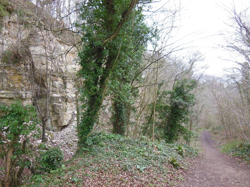
Owlpen Wood, located in the county of Gloucestershire, England, is a stunning ancient woodland that covers an area of approximately 50 acres. This enchanting forest is situated near the village of Uley, nestled within the Cotswold Hills, a designated Area of Outstanding Natural Beauty.

Owlpen Wood is predominantly composed of deciduous trees, including oak, beech, and ash, which create a rich tapestry of colors during the changing seasons. The woodland floor is carpeted with a diverse range of flora, such as bluebells, primroses, and wild garlic, further enhancing its natural beauty.

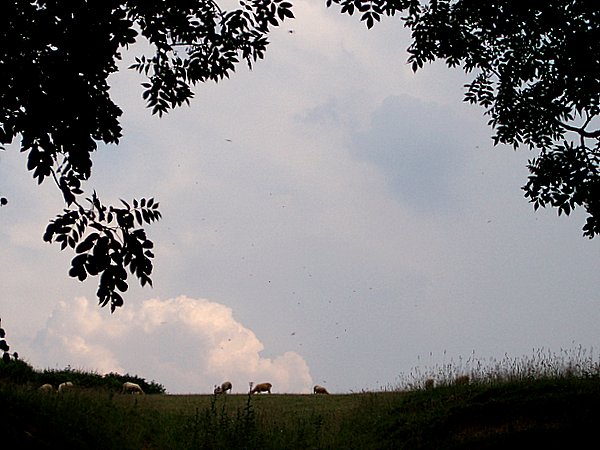
The wood is home to a variety of wildlife, making it a haven for nature enthusiasts. Visitors may spot deer, foxes, badgers, and a plethora of bird species, including owls, for which the wood is named. The tranquil and secluded atmosphere of Owlpen Wood provides a perfect habitat for these creatures.

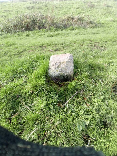
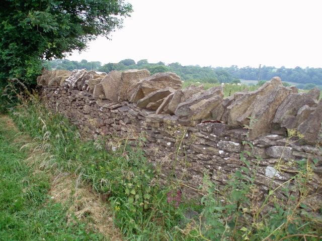
For those seeking a peaceful retreat, Owlpen Wood offers a network of walking trails, allowing visitors to immerse themselves in its idyllic surroundings. The wood is also renowned for its historical significance, with remnants of ancient earthworks and the remains of a medieval hunting lodge dotted throughout the area.

Managed by the Owlpen Manor Estate, Owlpen Wood is carefully preserved and maintained to protect its natural heritage. It is open to the public, providing an opportunity for individuals to connect with nature, explore its rich history, and experience the tranquility of this captivating woodland.

If you have any feedback on the listing, please let us know in the comments section below.
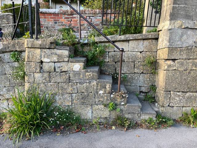
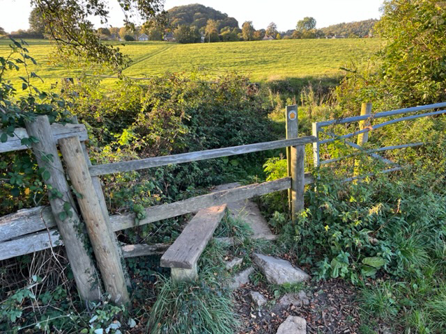
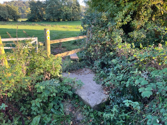
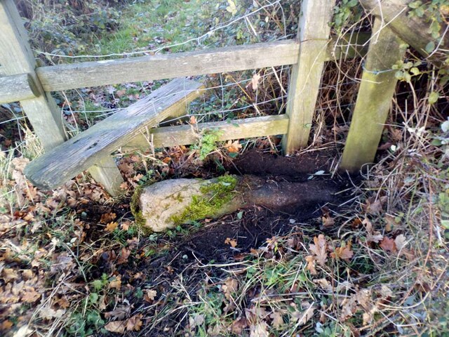
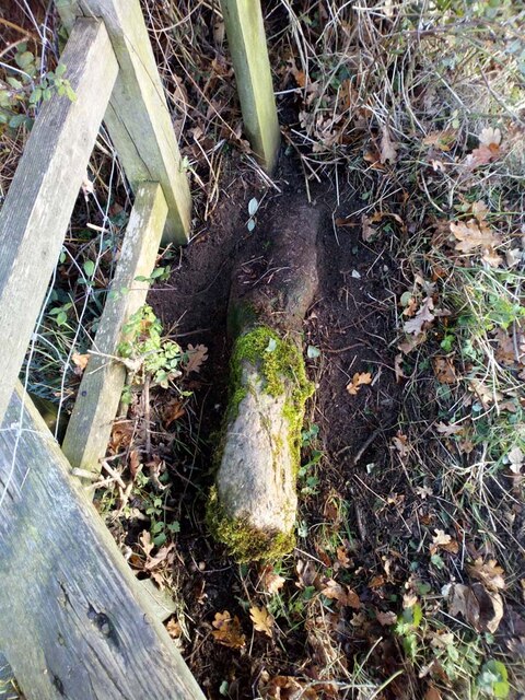
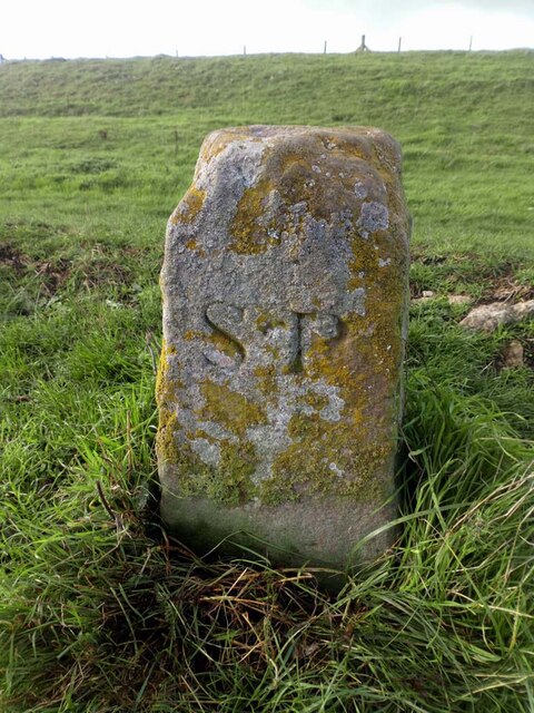
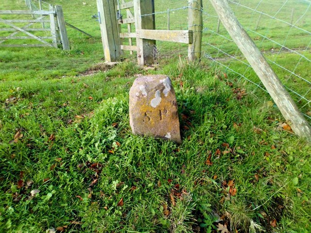
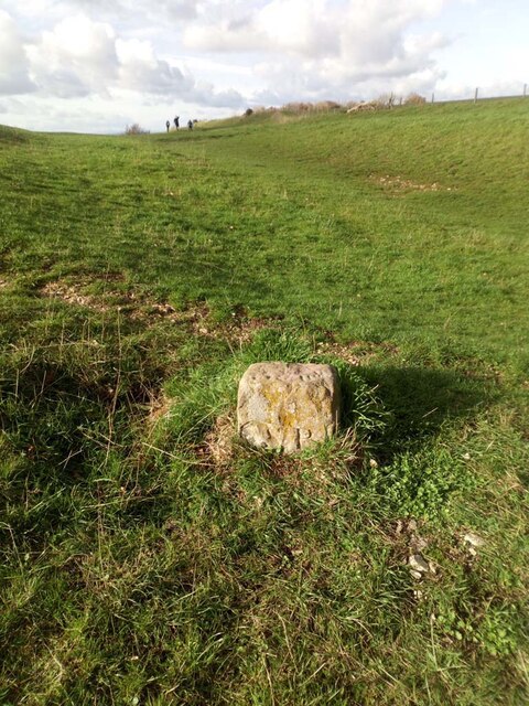
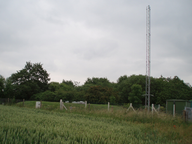
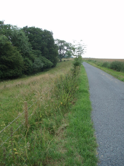
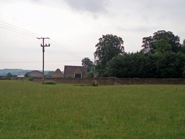
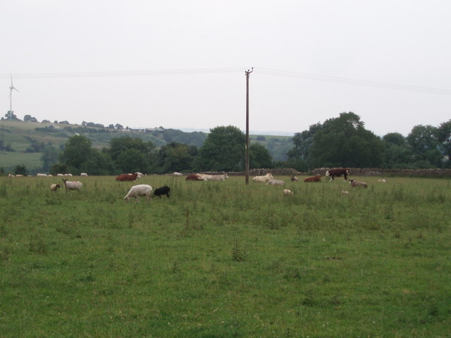
Owlpen Wood Images

Images are sourced within 2km of 51.693046/-2.2900666 or Grid Reference ST8099. Thanks to Geograph Open Source API. All images are credited.

Stone Stile, Uley Stepps embedded in the wall from "the Street" to the entrance to the churchyard.
Stone Stile, Uley
Stepps embedded in the wall from "the Street" to the entrance to the churchyard.
Stone Stile, Uley On Gloucestershire footpaths CUL42, CUL39 & CUL45 West of the village, looking NE. The view NW is <a href="https://www.geograph.org.uk/photo/7309120">ST7998 : Stone Stile, Uley</a>.
Stone Stile, Uley
On Gloucestershire footpaths CUL42, CUL39 & CUL45 West of the village, looking NE. The view NW is ST7998 : Stone Stile, Uley.
Stone Stile, Uley On Gloucestershire footpaths CUL42, CUL39 & CUL45 West of the village, looking NW. The view NE is <a href="https://www.geograph.org.uk/photo/7309117">ST7998 : Stone Stile, Uley</a>.
Stone Stile, Uley
On Gloucestershire footpaths CUL42, CUL39 & CUL45 West of the village, looking NW. The view NE is ST7998 : Stone Stile, Uley.
Stone Stiles, Uley The sunken remnants of a stone tile on the junction of Gloucestershire footpaths CUL63 & COW16 looking NE.
The close-up view looking SE is <a href="https://www.geograph.org.uk/photo/7338280">ST7997 : Stone Stiles, Uley</a>.
Stone Stiles, Uley
The sunken remnants of a stone tile on the junction of Gloucestershire footpaths CUL63 & COW16 looking NE. The close-up view looking SE is ST7997 : Stone Stiles, Uley.
Stone Stiles, Uley The sunken remnants of a stone tile on the junction of Gloucestershire footpaths CUL63 & COW16 looking SE.
The context view looking NE is <a href="https://www.geograph.org.uk/photo/7338278">ST7997 : Stone Stiles, Uley</a>.
Stone Stiles, Uley
The sunken remnants of a stone tile on the junction of Gloucestershire footpaths CUL63 & COW16 looking SE. The context view looking NE is ST7997 : Stone Stiles, Uley.
Boundary Marker, Uley Bury On the South flank one level down from the enclosed part of the opidum (Hill Fort).
One of four along the edge of the escarpment. see <a title="https://www.geograph.org.uk/photo/7338804" href="https://www.geograph.org.uk/photo/7338804">Link</a> & <a title="https://www.geograph.org.uk/photo/7338807" href="https://www.geograph.org.uk/photo/7338807">Link</a> & <a title="https://www.geograph.org.uk/photo/7338813" href="https://www.geograph.org.uk/photo/7338813">Link</a>

the Bury is a Scheduled Monument HE listed - Nᴼ. 1004866 <span class="nowrap"><a title="https://historicengland.org.uk/listing/the-list/list-entry/1004866" rel="nofollow ugc noopener" href="https://historicengland.org.uk/listing/the-list/list-entry/1004866">Link</a><img style="margin-left:2px;" alt="External link" title="External link - shift click to open in new window" src="https://s1.geograph.org.uk/img/external.png" width="10" height="10"/></span>

Inscription: SP (see below)

The 1838 tithe apportionment records nearly 80 acres of land in Uley, including land on the side of the Bury with the markers, was owned by Harry Keighly Peach (then a minor).  It is possible that SP stands for Samuel Peach, who inherited land in Uley in 1776, or his son, Samuel, who inherited in 1791 (Bigland’s Monumental Inscriptions, which adds that “it was a small estate and now subdivided”), and that Harry’s land was previously theirs.
Boundary Marker, Uley Bury
On the South flank one level down from the enclosed part of the opidum (Hill Fort). One of four along the edge of the escarpment. see Link & Link & Link the Bury is a Scheduled Monument HE listed - Nᴼ. 1004866 LinkExternal link Inscription: SP (see below) The 1838 tithe apportionment records nearly 80 acres of land in Uley, including land on the side of the Bury with the markers, was owned by Harry Keighly Peach (then a minor). It is possible that SP stands for Samuel Peach, who inherited land in Uley in 1776, or his son, Samuel, who inherited in 1791 (Bigland’s Monumental Inscriptions, which adds that “it was a small estate and now subdivided”), and that Harry’s land was previously theirs.
Boundary Marker, Uley Bury On the South flank one level down from the enclosed part of the opidum (Hill Fort).
One of four along the edge of the escarpment. see <a title="https://www.geograph.org.uk/photo/7338800" href="https://www.geograph.org.uk/photo/7338800">Link</a> & <a title="https://www.geograph.org.uk/photo/7338807" href="https://www.geograph.org.uk/photo/7338807">Link</a> & <a title="https://www.geograph.org.uk/photo/7338813" href="https://www.geograph.org.uk/photo/7338813">Link</a>

the Bury is a Scheduled Monument HE listed - Nᴼ. 1004866 <span class="nowrap"><a title="https://historicengland.org.uk/listing/the-list/list-entry/1004866" rel="nofollow ugc noopener" href="https://historicengland.org.uk/listing/the-list/list-entry/1004866">Link</a><img style="margin-left:2px;" alt="External link" title="External link - shift click to open in new window" src="https://s1.geograph.org.uk/img/external.png" width="10" height="10"/></span>

Inscription: SP (see below)

The 1838 tithe apportionment records nearly 80 acres of land in Uley, including land on the side of the Bury with the markers, was owned by Harry Keighly Peach (then a minor).  It is possible that SP stands for Samuel Peach, who inherited land in Uley in 1776, or his son, Samuel, who inherited in 1791 (Bigland’s Monumental Inscriptions, which adds that “it was a small estate and now subdivided”), and that Harry’s land was previously theirs.
Boundary Marker, Uley Bury
On the South flank one level down from the enclosed part of the opidum (Hill Fort). One of four along the edge of the escarpment. see Link & Link & Link the Bury is a Scheduled Monument HE listed - Nᴼ. 1004866 LinkExternal link Inscription: SP (see below) The 1838 tithe apportionment records nearly 80 acres of land in Uley, including land on the side of the Bury with the markers, was owned by Harry Keighly Peach (then a minor). It is possible that SP stands for Samuel Peach, who inherited land in Uley in 1776, or his son, Samuel, who inherited in 1791 (Bigland’s Monumental Inscriptions, which adds that “it was a small estate and now subdivided”), and that Harry’s land was previously theirs.
Boundary Marker, Uley Bury On the South flank one level down from the enclosed part of the opidum (Hill Fort).
One of four along the edge of the escarpment. see <a title="https://www.geograph.org.uk/photo/7338800" href="https://www.geograph.org.uk/photo/7338800">Link</a> & <a title="https://www.geograph.org.uk/photo/7338804" href="https://www.geograph.org.uk/photo/7338804">Link</a> & <a title="https://www.geograph.org.uk/photo/7338813" href="https://www.geograph.org.uk/photo/7338813">Link</a>

the Bury is a Scheduled Monument HE listed - Nᴼ. 1004866 <span class="nowrap"><a title="https://historicengland.org.uk/listing/the-list/list-entry/1004866" rel="nofollow ugc noopener" href="https://historicengland.org.uk/listing/the-list/list-entry/1004866">Link</a><img style="margin-left:2px;" alt="External link" title="External link - shift click to open in new window" src="https://s1.geograph.org.uk/img/external.png" width="10" height="10"/></span>

Inscription: SP
Boundary Marker, Uley Bury
On the South flank one level down from the enclosed part of the opidum (Hill Fort). One of four along the edge of the escarpment. see Link & Link & Link the Bury is a Scheduled Monument HE listed - Nᴼ. 1004866 LinkExternal link Inscription: SP
Boundary Marker, Uley Bury On the South flank one level down from the enclosed part of the opidum (Hill Fort).
One of four along the edge of the escarpment. see <a title="https://www.geograph.org.uk/photo/7338800" href="https://www.geograph.org.uk/photo/7338800">Link</a> & <a title="https://www.geograph.org.uk/photo/7338804" href="https://www.geograph.org.uk/photo/7338804">Link</a> & <a title="https://www.geograph.org.uk/photo/7338807" href="https://www.geograph.org.uk/photo/7338807">Link</a>

The Bury is a Scheduled Monument HE listed - Nᴼ. 1004866 <span class="nowrap"><a title="https://historicengland.org.uk/listing/the-list/list-entry/1004866" rel="nofollow ugc noopener" href="https://historicengland.org.uk/listing/the-list/list-entry/1004866">Link</a><img style="margin-left:2px;" alt="External link" title="External link - shift click to open in new window" src="https://s1.geograph.org.uk/img/external.png" width="10" height="10"/></span>

Inscription: SP (see below)

The 1838 tithe apportionment records nearly 80 acres of land in Uley, including land on the side of the Bury with the markers, was owned by Harry Keighly Peach (then a minor).  It is possible that SP stands for Samuel Peach, who inherited land in Uley in 1776, or his son, Samuel, who inherited in 1791 (Bigland’s Monumental Inscriptions, which adds that “it was a small estate and now subdivided”), and that Harry’s land was previously theirs.
Boundary Marker, Uley Bury
On the South flank one level down from the enclosed part of the opidum (Hill Fort). One of four along the edge of the escarpment. see Link & Link & Link The Bury is a Scheduled Monument HE listed - Nᴼ. 1004866 LinkExternal link Inscription: SP (see below) The 1838 tithe apportionment records nearly 80 acres of land in Uley, including land on the side of the Bury with the markers, was owned by Harry Keighly Peach (then a minor). It is possible that SP stands for Samuel Peach, who inherited land in Uley in 1776, or his son, Samuel, who inherited in 1791 (Bigland’s Monumental Inscriptions, which adds that “it was a small estate and now subdivided”), and that Harry’s land was previously theirs.
Uley The village from Uley Bury Hillfort, Looking South East.
Uley
The village from Uley Bury Hillfort, Looking South East.
Hetty Pegler's Tump Situated right in the SE corner of the grid square is this ancient longbarrow
Hetty Pegler's Tump
Situated right in the SE corner of the grid square is this ancient longbarrow
Uley, St. Giles church
Reservoir A small covered reservoir beside the B4066 managed by Severn Water.
Reservoir
A small covered reservoir beside the B4066 managed by Severn Water.
Road to Upper Lutheredge Farm
Field Farm The main building of Field Farm is nestled behind the trees, not visible to the passer-by.  This photograph shows the outbuildings and wall which surrounds the farm complex.
Field Farm
The main building of Field Farm is nestled behind the trees, not visible to the passer-by. This photograph shows the outbuildings and wall which surrounds the farm complex.
Livestock scene A mixture of cattle and goats in this field on the outskirts of Nympsfield.  The windmill on Lynch Knoll can be seen in the far left corner of the photograph.
Livestock scene
A mixture of cattle and goats in this field on the outskirts of Nympsfield. The windmill on Lynch Knoll can be seen in the far left corner of the photograph.
Dry stone wall These dry stone walls are made of oolitic limestone (Cotswold stone) and are in good condition compared to many.
Dry stone wall
These dry stone walls are made of oolitic limestone (Cotswold stone) and are in good condition compared to many.
Thunder clouds Looking up towards Coaley peak.  Sheep grazing on the ridge, and ominous grey skies heralding a thunderstorm after a hot July day.
Thunder clouds
Looking up towards Coaley peak. Sheep grazing on the ridge, and ominous grey skies heralding a thunderstorm after a hot July day.
Show me another place!

Owlpen Wood is located at Grid Ref: ST8099 (Lat: 51.693046, Lng: -2.2900666)

Administrative County: Gloucestershire

District: Stroud

Police Authority: Gloucestershire

What 3 Words

///spoiler.craftsman.puns. Near Dursley, Gloucestershire

Related Wikis

Nympsfield

Nympsfield is a village and civil parish in the English county of Gloucestershire. It is located around four miles south-west of the town of Stroud. As...
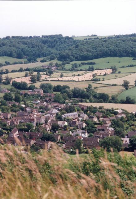
Owlpen

Owlpen is a small village and civil parish in the Stroud district of Gloucestershire, England, set in a valley in the Cotswold hills. It is about one mile...
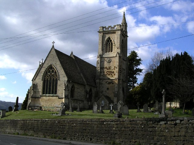
Owlpen Manor

Owlpen Manor is a Tudor Grade I listed manor house of the Mander family, situated in the village of Owlpen in the Stroud district in Gloucestershire, England...
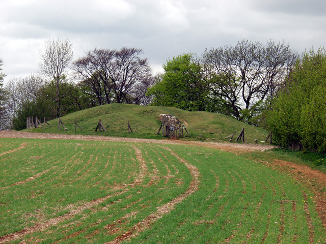
Uley Long Barrow

Uley Long Barrow, also known locally as Hetty Pegler's Tump, is a Neolithic burial mound, near the village of Uley, Gloucestershire, England. == Details... ==

Coaley Wood Quarries

Coaley Wood Quarries (grid reference ST786996) is a 4.85-hectare (12.0-acre) geological Site of Special Scientific Interest in Gloucestershire, notified...

Uley

Uley is a village and civil parish in the county of Gloucestershire, England. The parish includes the hamlets of Elcombe and Shadwell and Bencombe, all...

Uley Bury

Uley Bury is the long, flat-topped hill just outside Uley, Gloucestershire, England. It is an impressive multi-vallate, scarp-edge Iron Age hill fort dating...

Easter Park Farm Quarry

Easter Park Farm Quarry (grid reference SO810009) is a 0.15-hectare (0.37-acre) geological Site of Special Scientific Interest in Gloucestershire, notified...

Nearby Amenities

Located within 500m of 51.693046,-2.2900666
Barrier: stile
Lat/Long: 51.6951249/-2.2905805
The data included in this document is from www.openstreetmap.org. The data is made available under ODbL.

Have you been to Owlpen Wood?

Leave your review of Owlpen Wood below (or comments, questions and feedback).