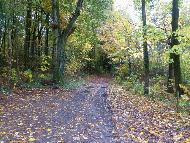
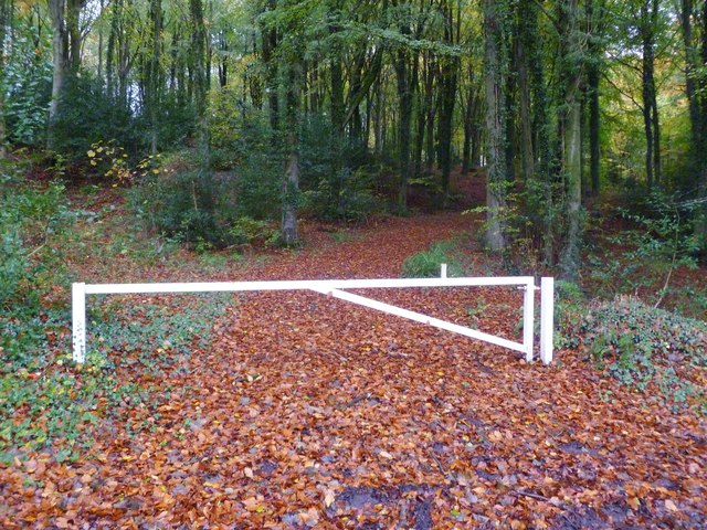
High Wood
Wood, Forest in Wiltshire
England
High Wood
The requested URL returned error: 429 Too Many Requests
If you have any feedback on the listing, please let us know in the comments section below.
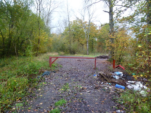
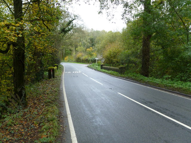
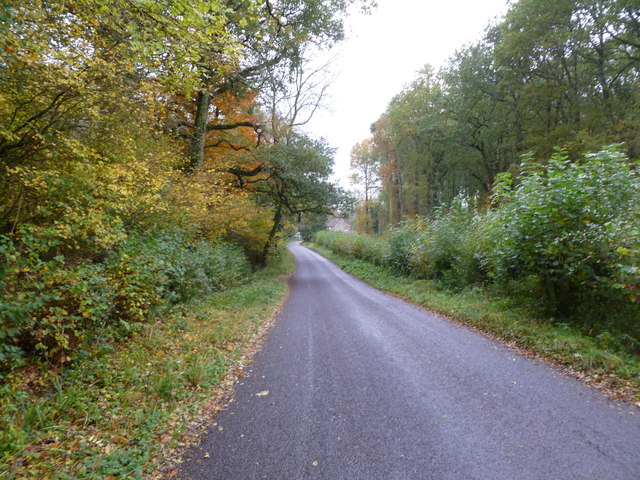
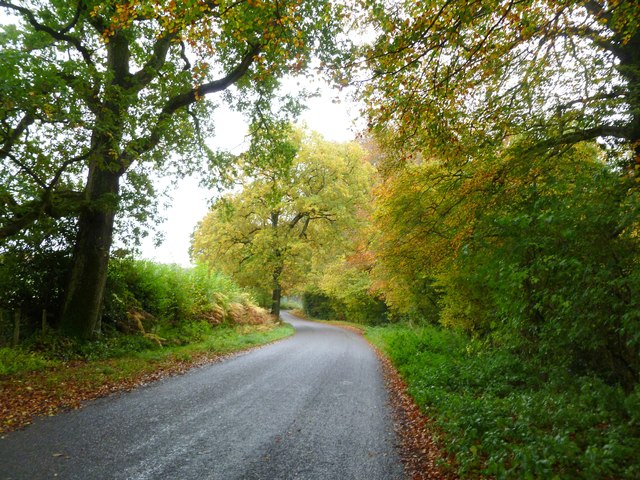
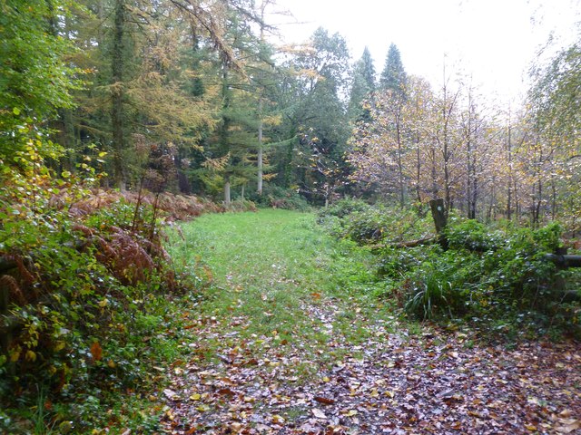
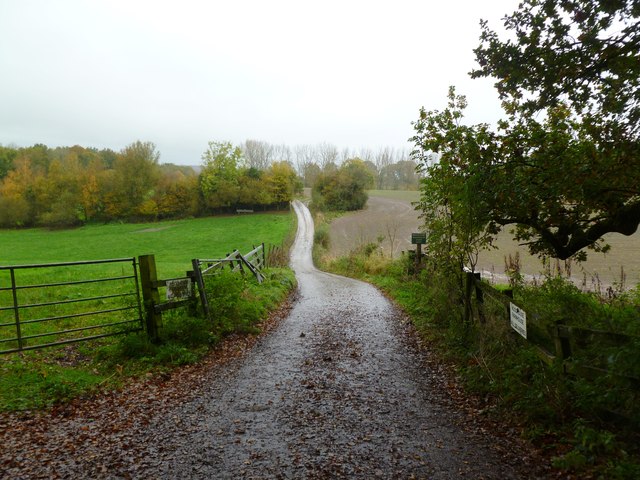
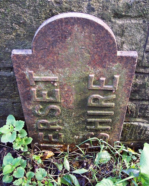
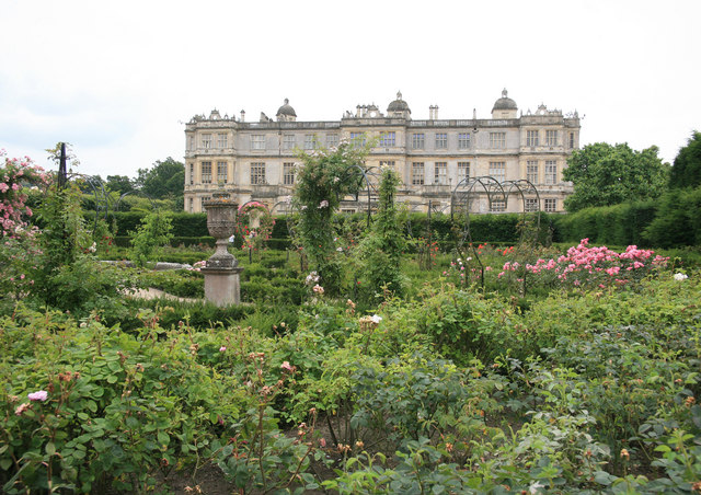
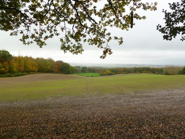
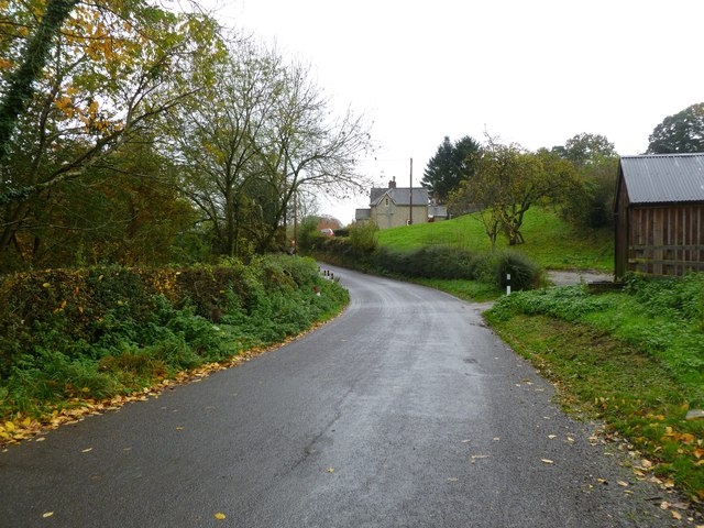
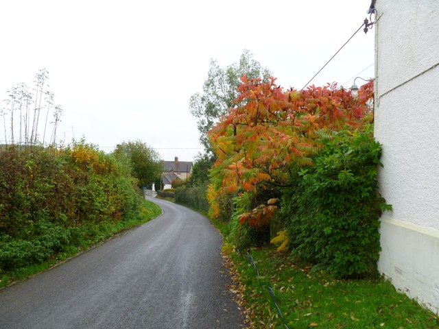
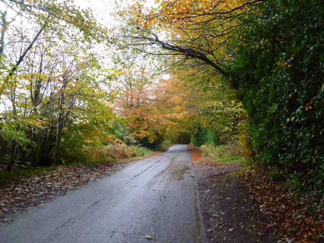
High Wood Images
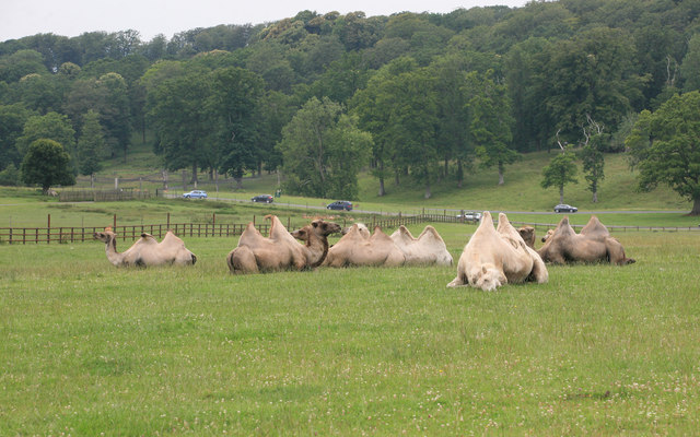
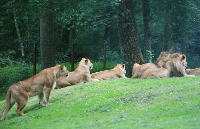
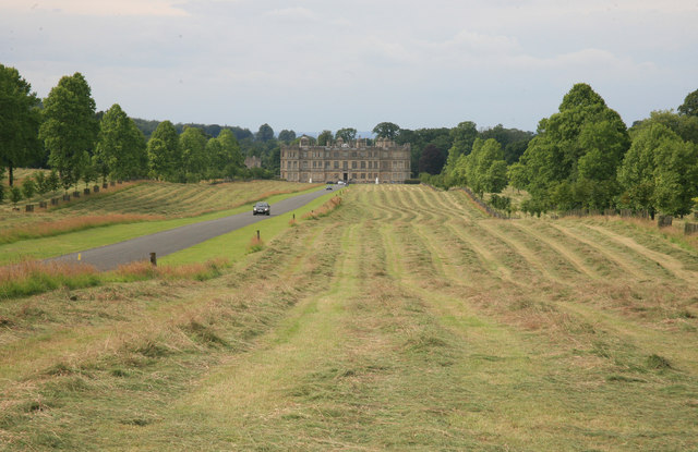
Images are sourced within 2km of 51.180437/-2.2785945 or Grid Reference ST8042. Thanks to Geograph Open Source API. All images are credited.

High Wood is located at Grid Ref: ST8042 (Lat: 51.180437, Lng: -2.2785945)
Unitary Authority: Wiltshire
Police Authority: Wiltshire
What 3 Words
///ramps.soothing.difficult. Near Corsley, Wiltshire
Nearby Locations
Related Wikis
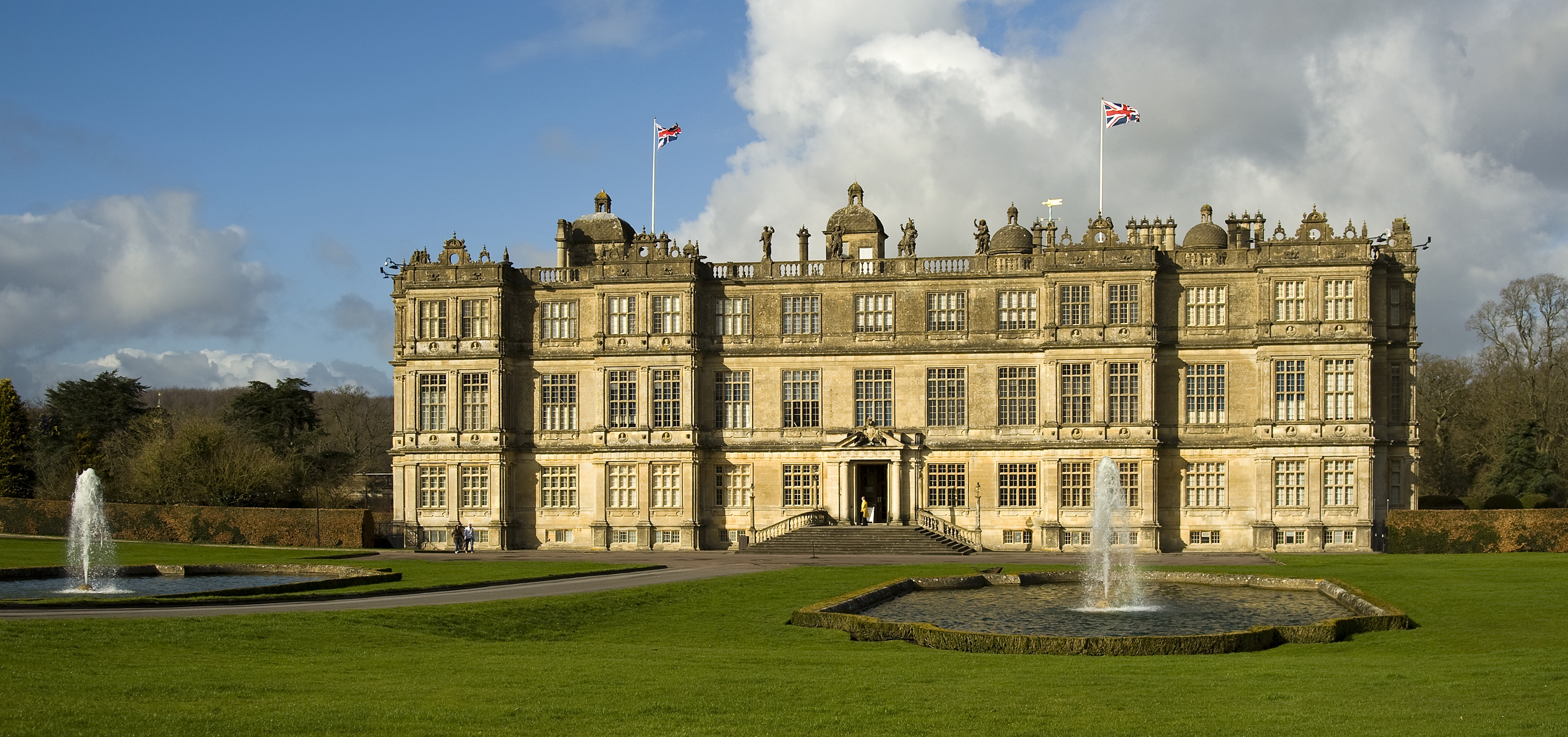
Longleat
Longleat is a stately home about 4 miles (7 km) west of Warminster in Wiltshire, England. A leading and early example of the Elizabethan prodigy house...

Longleat Priory
Longleat Priory was a priory near Warminster, Wiltshire, in the south of England. A short-lived priory was established and dissolved near to Longleat in...

Horningsham
Horningsham is a small village and civil parish in Wiltshire, England, on the county border with Somerset. The village lies about 4 miles (6 km) southwest...

Longleat Woods
Longleat Woods (grid reference ST795435) is a 249.9 hectare (617.4 acre) biological Site of Special Scientific Interest south of Frome in Somerset, notified...
Nearby Amenities
Located within 500m of 51.180437,-2.2785945Have you been to High Wood?
Leave your review of High Wood below (or comments, questions and feedback).