Cowern Coppice
Wood, Forest in Wiltshire
England
Cowern Coppice
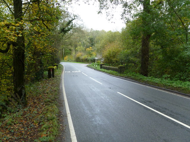
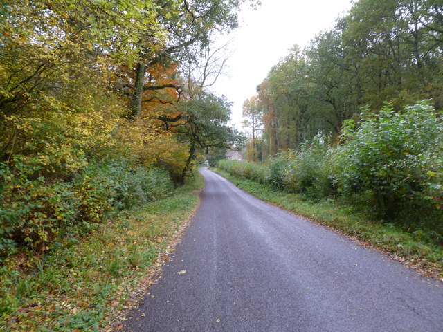
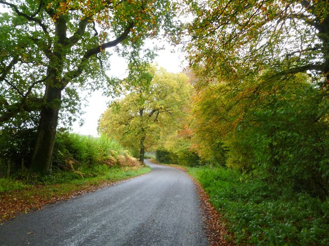
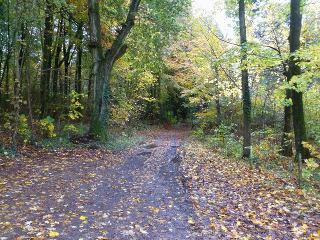
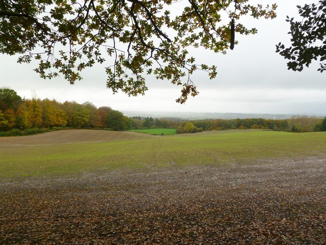
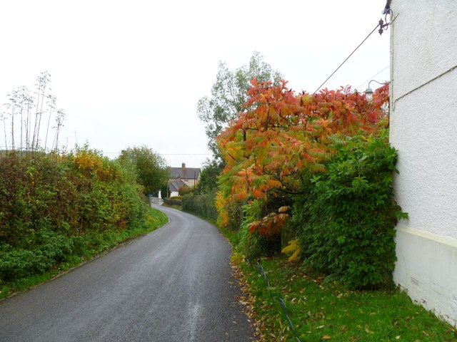
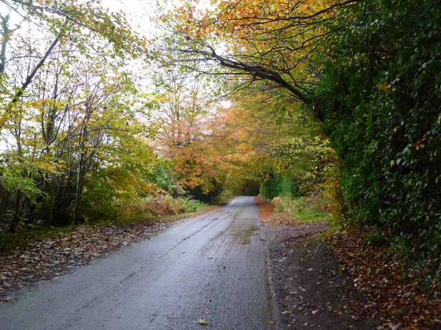
Cowern Coppice is a picturesque woodland located in the county of Wiltshire, England. Situated near the village of Box, this charming forest covers an area of approximately 100 acres. It is part of the larger Box Woods, a network of ancient woodlands that have been preserved for their ecological and historical significance.
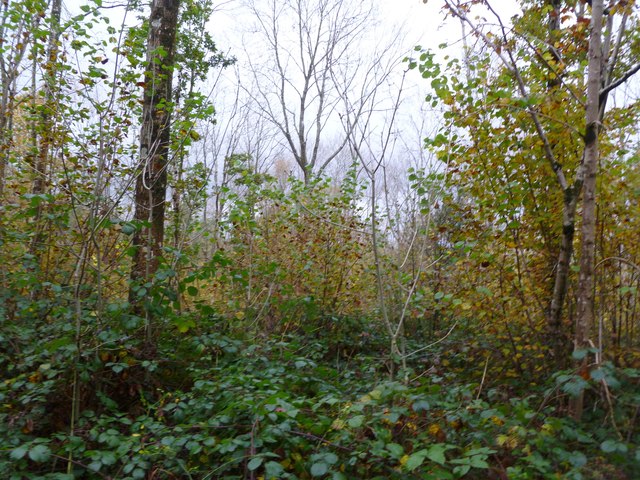
The coppice gets its name from the traditional practice of coppicing, which involves cutting trees near the base to encourage new growth. This sustainable method has been employed in the area for centuries, resulting in a diverse range of tree species and habitats. The woodland is predominantly composed of native broadleaf trees such as oak, beech, and ash, which provide a rich habitat for a variety of wildlife.
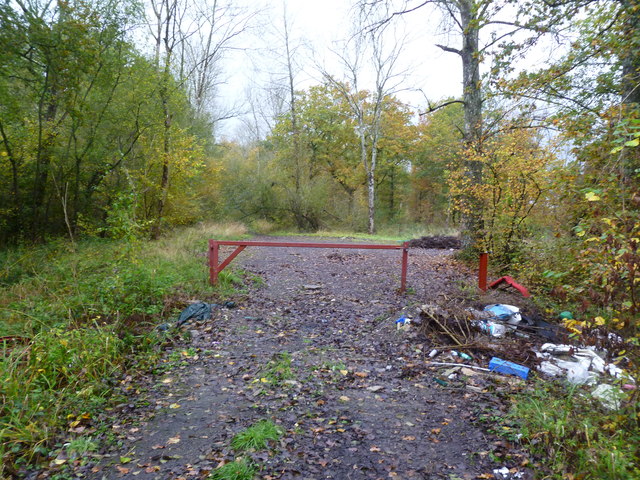
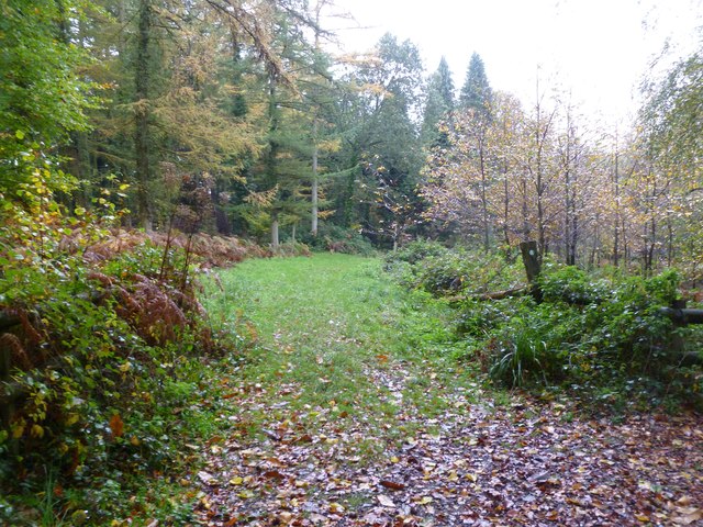
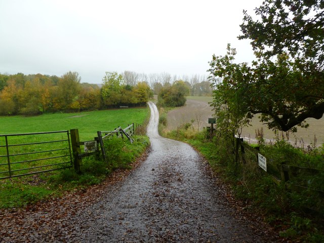
Cowern Coppice offers a tranquil escape for nature enthusiasts and walkers alike. The forest is crisscrossed with well-maintained footpaths, allowing visitors to explore its beauty at their own pace. Along the way, one may encounter carpets of bluebells in the spring or enjoy the vibrant autumnal colors as the leaves change.
The woodland is home to a plethora of wildlife, including birds, mammals, and insects. Birdwatchers may spot species such as the great spotted woodpecker, tawny owl, or nuthatch. The forest floor is teeming with small mammals like foxes, rabbits, and voles, while the diverse flora provides a haven for butterflies, bees, and other insects.
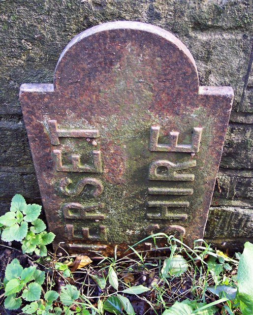
Cowern Coppice is not only a haven for wildlife but also a place of historical interest. The wood has evidence of past human activity, including remnants of charcoal platforms and old boundary walls. These remnants serve as a reminder of the area's rich cultural heritage and the importance of sustainable woodland management throughout history.
In summary, Cowern Coppice is a captivating woodland in Wiltshire, boasting a diverse range of tree species, wildlife, and historical significance. Whether you seek solace in nature, wish to observe wildlife, or explore the area's
If you have any feedback on the listing, please let us know in the comments section below.
Cowern Coppice Images
Images are sourced within 2km of 51.179974/-2.284257 or Grid Reference ST8042. Thanks to Geograph Open Source API. All images are credited.
Cowern Coppice is located at Grid Ref: ST8042 (Lat: 51.179974, Lng: -2.284257)
Unitary Authority: Wiltshire
Police Authority: Wiltshire
What 3 Words
///shrug.scanner.discount. Near Corsley, Wiltshire
Nearby Locations
Related Wikis
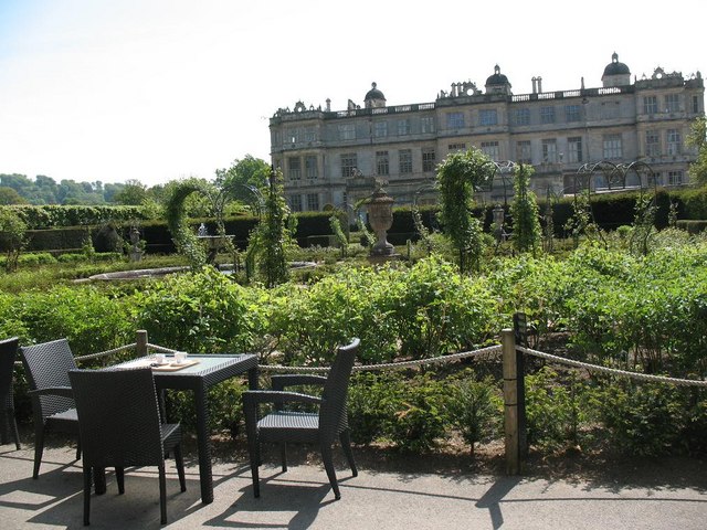
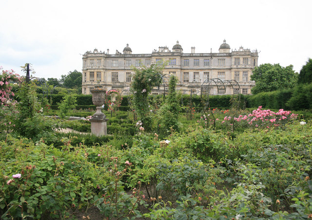
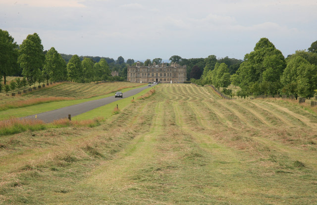
Longleat
Longleat is a stately home about 4 miles (7 km) west of Warminster in Wiltshire, England. A leading and early example of the Elizabethan prodigy house...

Longleat Priory
Longleat Priory was a priory near Warminster, Wiltshire, in the south of England. A short-lived priory was established and dissolved near to Longleat in...

Horningsham
Horningsham is a small village and civil parish in Wiltshire, England, on the county border with Somerset. The village lies about 4 miles (6 km) southwest...

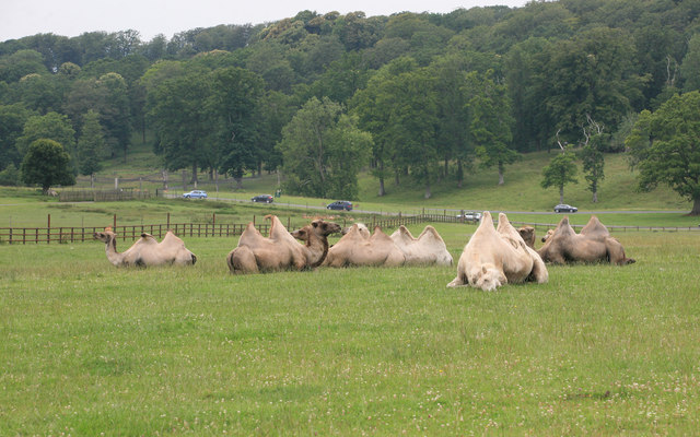
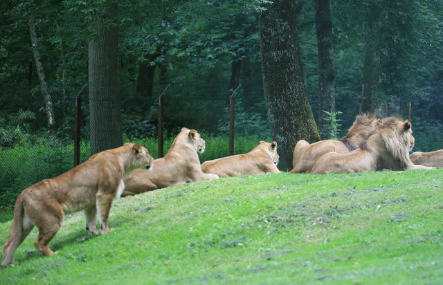
Longleat Woods
Longleat Woods (grid reference ST795435) is a 249.9 hectare (617.4 acre) biological Site of Special Scientific Interest south of Frome in Somerset, notified...
Nearby Amenities
Located within 500m of 51.179974,-2.284257Have you been to Cowern Coppice?
Leave your review of Cowern Coppice below (or comments, questions and feedback).