Eel Stew Plantation
Wood, Forest in Staffordshire South Staffordshire
England
Eel Stew Plantation
Eel Stew Plantation is a notable woodland located in Staffordshire, England. Nestled within the scenic countryside, it covers an expansive area and is renowned for its diverse ecosystem and rich natural beauty. The plantation primarily consists of a mix of deciduous and coniferous trees, creating a picturesque forest landscape.
The woodland is home to a variety of wildlife, including a plethora of bird species, small mammals, and insects. It provides an important habitat for these creatures and serves as a sanctuary for many native species. Additionally, the plantation features a network of walking trails and paths, allowing visitors to explore and immerse themselves in the tranquility of nature.
The name "Eel Stew" is derived from the historical association of the site with eel fishing. In the past, the area was known for its abundance of eels, and it was a popular spot for locals to catch and stew them. Although the eel population has significantly decreased over the years, the name has endured as a reminder of the plantation's historical significance.
Today, Eel Stew Plantation is a cherished recreational area for nature lovers and outdoor enthusiasts. Its serene atmosphere, combined with the captivating beauty of the surrounding flora and fauna, makes it an ideal destination for hiking, birdwatching, and nature photography. The plantation serves as a peaceful escape from the hustle and bustle of urban life, offering visitors a chance to reconnect with nature and appreciate the wonders of the Staffordshire countryside.
If you have any feedback on the listing, please let us know in the comments section below.
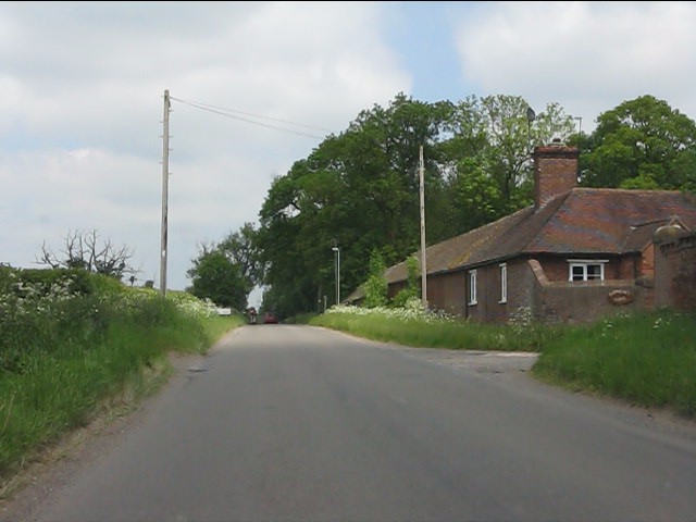
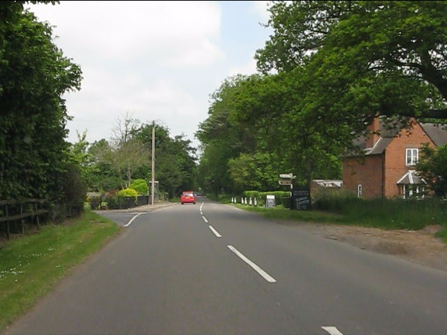
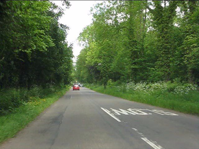
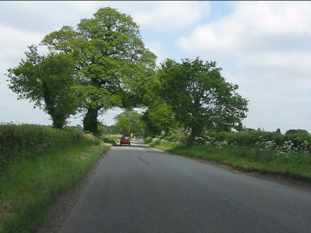
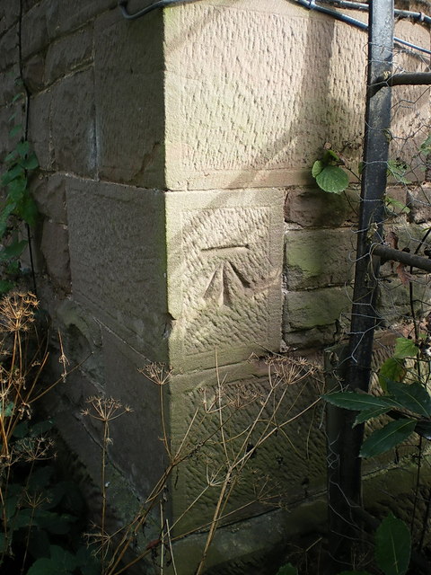
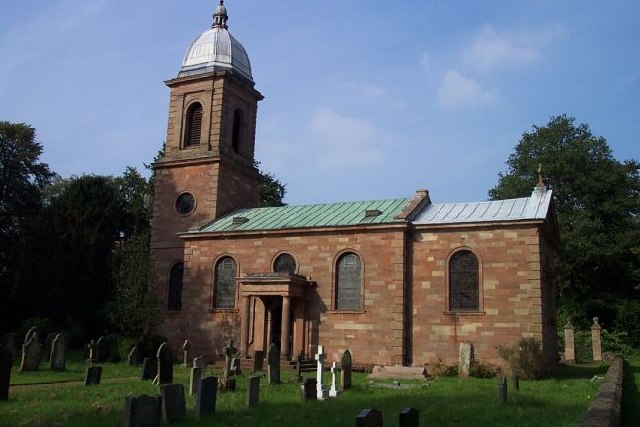
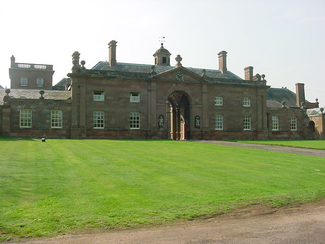
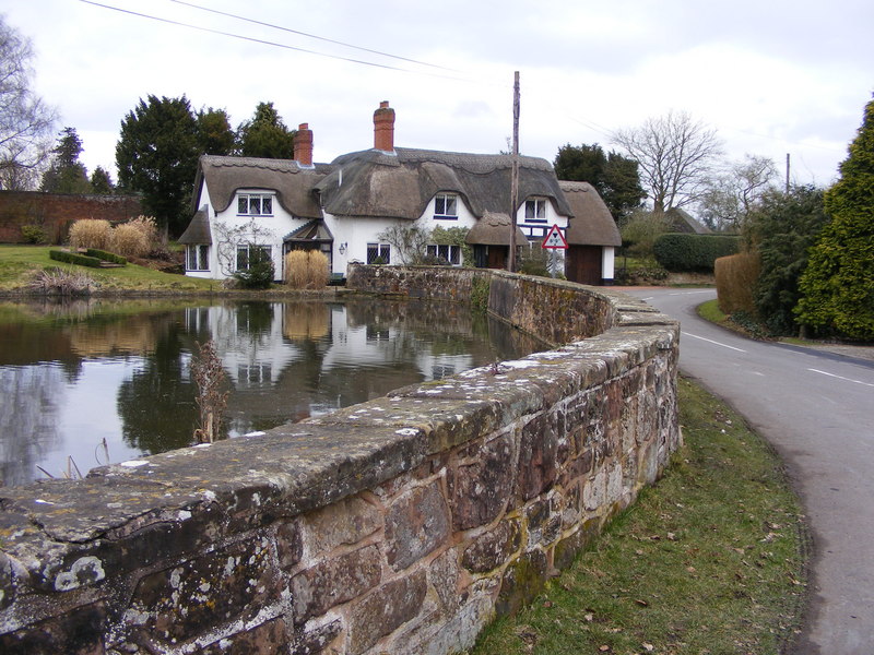
Eel Stew Plantation Images
Images are sourced within 2km of 52.598827/-2.2912342 or Grid Reference SJ8000. Thanks to Geograph Open Source API. All images are credited.


Eel Stew Plantation is located at Grid Ref: SJ8000 (Lat: 52.598827, Lng: -2.2912342)
Administrative County: Staffordshire
District: South Staffordshire
Police Authority: Staffordshire
What 3 Words
///sprain.goad.stirs. Near Pattingham, Staffordshire
Related Wikis

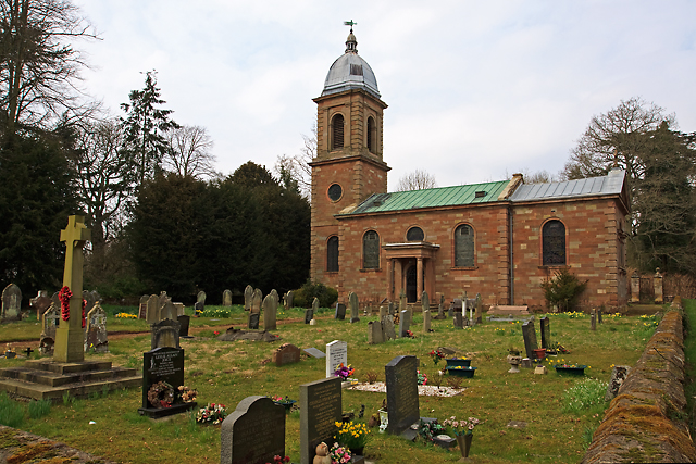
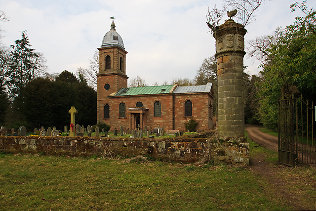
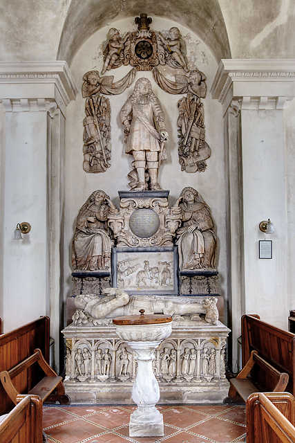
St Mary's Church, Patshull
St Mary's Church, Patshull, is a redundant Anglican church in the parish of Pattingham and Patshull, Staffordshire, England, and is situated near Patshull...
Patshull
Patshull is a former civil parish, now in the parish of Pattingham and Patshull, in the South Staffordshire district, in the county of Staffordshire, England...

Patshull Hall
Patshull Hall is a substantial Georgian mansion house situated near Pattingham in Staffordshire, England. It is a Grade I listed building and by repute...

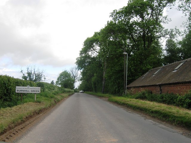
Burnhill Green
Burnhill Green is a small hamlet near Pattingham, situated in Staffordshire, England, in the former parish of Patshull. The hamlet is on the edge of the...

Pattingham
Pattingham is a village and former civil parish, now in the parish of Pattingham and Patshull, in the South Staffordshire district, in the county of Staffordshire...

Boningale
Boningale is a village and civil parish in Shropshire, England. The village lies just south of Albrighton, and just west of the county border with Staffordshire...

Rudge, Shropshire
Rudge is a settlement and civil parish about 6 miles east of Bridgnorth, in the Shropshire district, in the ceremonial county of Shropshire, England. In...
Badger, Shropshire
Badger is a village and civil parish in Shropshire, England, about six miles north-east of Bridgnorth. The parish had a population of 134 according to...
Nearby Amenities
Located within 500m of 52.598827,-2.2912342Have you been to Eel Stew Plantation?
Leave your review of Eel Stew Plantation below (or comments, questions and feedback).