Bath Plantation
Wood, Forest in Staffordshire South Staffordshire
England
Bath Plantation
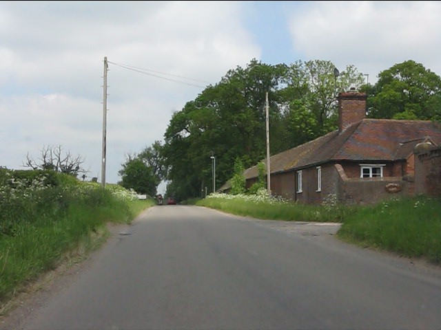
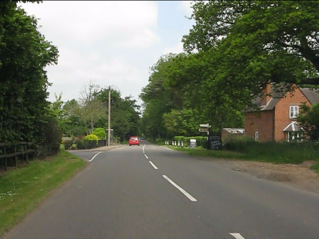
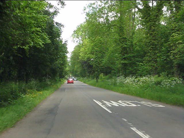
Bath Plantation, located in Staffordshire, England, is a picturesque woodland area known for its natural beauty and rich history. Spanning over a vast area, the plantation is a haven for nature enthusiasts and provides a serene escape from the bustling city life.
The woodland is predominantly composed of various species of trees, including oak, beech, and pine, creating a diverse and vibrant ecosystem. This diversity attracts an array of wildlife, making it a popular spot for birdwatchers and animal lovers.
One of the notable features of Bath Plantation is its extensive network of walking trails and paths, which allow visitors to explore the area at their own pace. These trails vary in difficulty, catering to both casual strollers and avid hikers. The plantation also offers designated picnic areas and benches, providing opportunities for visitors to relax and enjoy the tranquil surroundings.
With a history dating back centuries, Bath Plantation holds cultural significance in the region. It was originally part of the ancient Needwood Forest, which was used for hunting by the nobility. Over time, the forest was transformed into a plantation, and its timber was used for various purposes, including shipbuilding.
Today, Bath Plantation is managed by local authorities, who ensure its conservation and preservation. They actively promote sustainable practices and maintain the plantation's ecological balance.
In summary, Bath Plantation in Staffordshire offers a delightful and immersive experience for nature enthusiasts and history buffs alike. Its diverse flora and fauna, scenic walking trails, and rich cultural heritage make it a must-visit destination for those seeking a peaceful retreat in the heart of England.
If you have any feedback on the listing, please let us know in the comments section below.
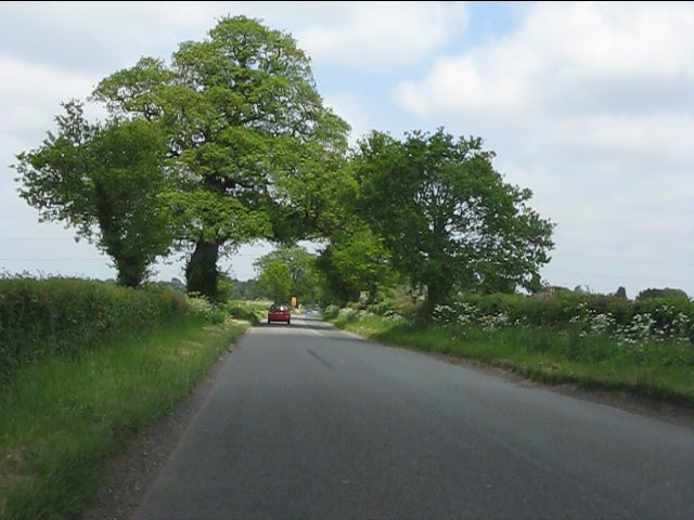
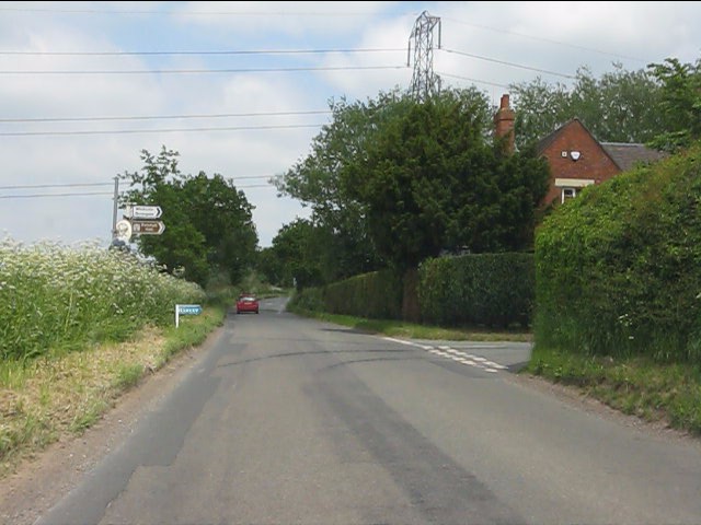
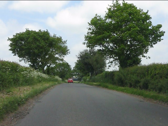
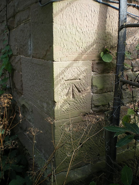
Bath Plantation Images
Images are sourced within 2km of 52.603849/-2.2964503 or Grid Reference SJ8000. Thanks to Geograph Open Source API. All images are credited.
Bath Plantation is located at Grid Ref: SJ8000 (Lat: 52.603849, Lng: -2.2964503)
Administrative County: Staffordshire
District: South Staffordshire
Police Authority: Staffordshire
What 3 Words
///plunger.crate.conveying. Near Pattingham, Staffordshire
Related Wikis

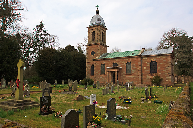
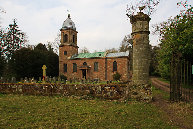
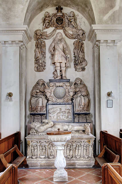
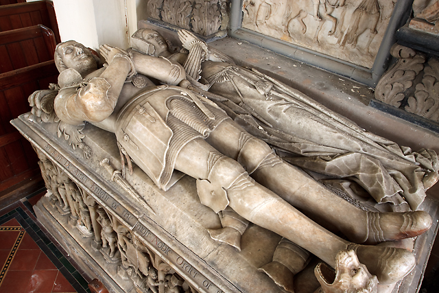
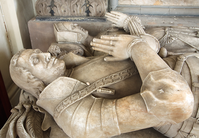
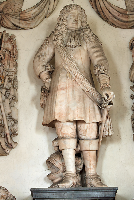
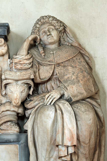
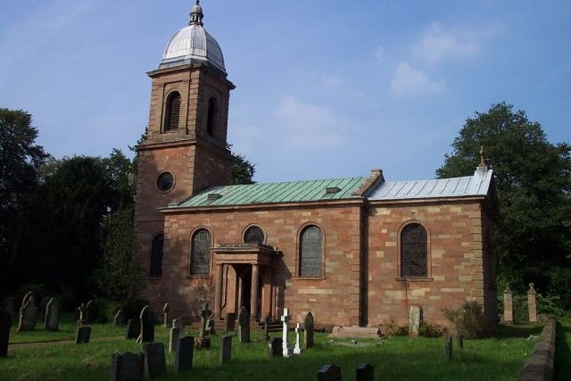
St Mary's Church, Patshull
St Mary's Church, Patshull, is a redundant Anglican church in the parish of Pattingham and Patshull, Staffordshire, England, and is situated near Patshull...
Patshull
Patshull is a former civil parish, now in the parish of Pattingham and Patshull, in the South Staffordshire district, in the county of Staffordshire, England...

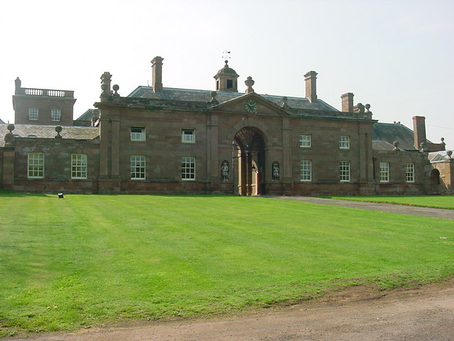
Patshull Hall
Patshull Hall is a substantial Georgian mansion house situated near Pattingham in Staffordshire, England. It is a Grade I listed building and by repute...

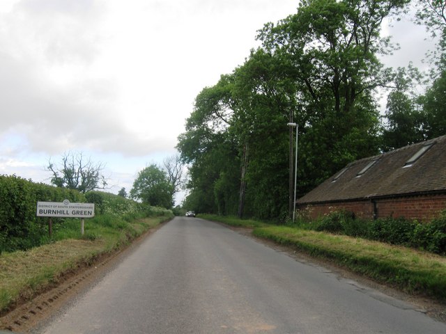
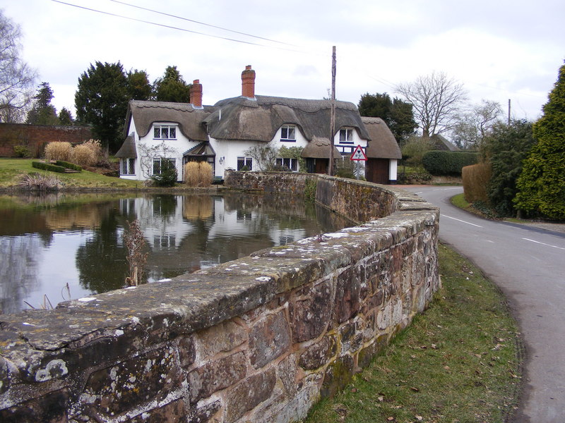
Burnhill Green
Burnhill Green is a small hamlet near Pattingham, situated in Staffordshire, England, in the former parish of Patshull. The hamlet is on the edge of the...

Boningale
Boningale is a village and civil parish in Shropshire, England. The village lies just south of Albrighton, and just west of the county border with Staffordshire...

Pattingham
Pattingham is a village and former civil parish, now in the parish of Pattingham and Patshull, in the South Staffordshire district, in the county of Staffordshire...

Caynton Caves
The Caynton Caves are a series of man-made underground chambers in the grounds of Caynton Hall, near Beckbury, Shropshire, England. Their original purpose...
Badger, Shropshire
Badger is a village and civil parish in Shropshire, England, about six miles north-east of Bridgnorth. The parish had a population of 134 according to...
Have you been to Bath Plantation?
Leave your review of Bath Plantation below (or comments, questions and feedback).