Deverells Wood

Wood, Forest in Wiltshire

England

Deverells Wood

White Sheet Castle Trig Point Flush Bracket S2228
White Sheet Castle Trig Point Flush Bracket S2228 Credit: thejackrustles

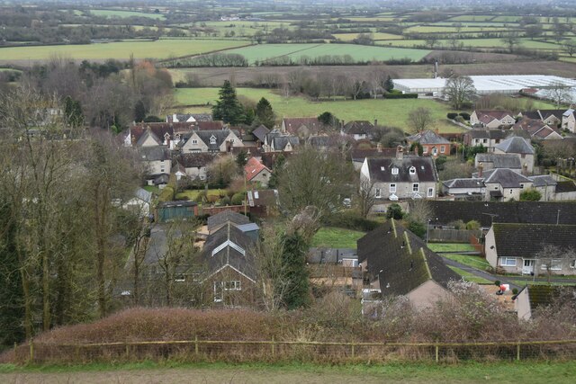
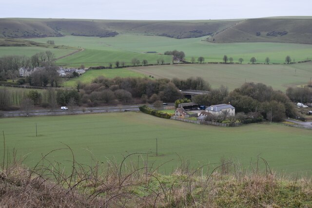
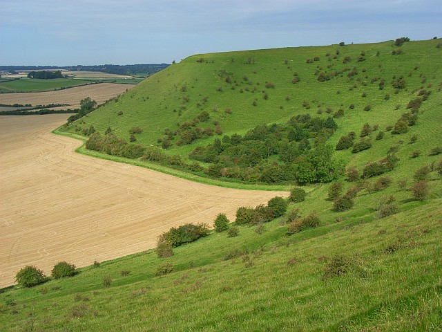
Deverells Wood is a captivating woodland located in the county of Wiltshire, England. Spanning an area of approximately 100 acres, this enchanting forest is renowned for its natural beauty and diverse ecosystem. Situated near the village of Deverills, the wood is easily accessible to locals and visitors alike.

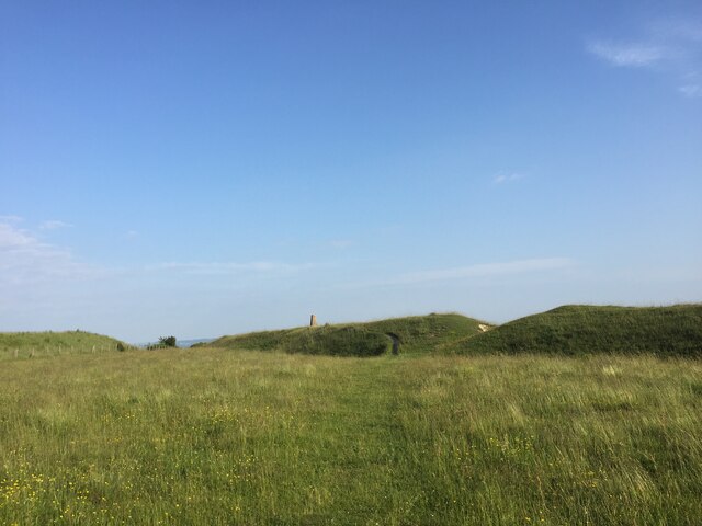
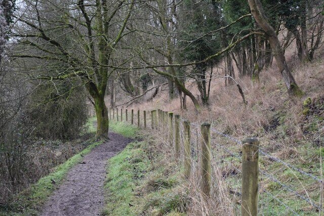
Upon entering Deverells Wood, one is immediately immersed in a tranquil and serene environment. The woodland is characterized by a mixture of deciduous and evergreen trees, including oak, beech, and ash, forming a lush canopy that provides shade and shelter to an array of wildlife. The forest floor is adorned with a carpet of bluebells in the spring, creating a breathtaking sight that attracts nature enthusiasts and photographers from far and wide.

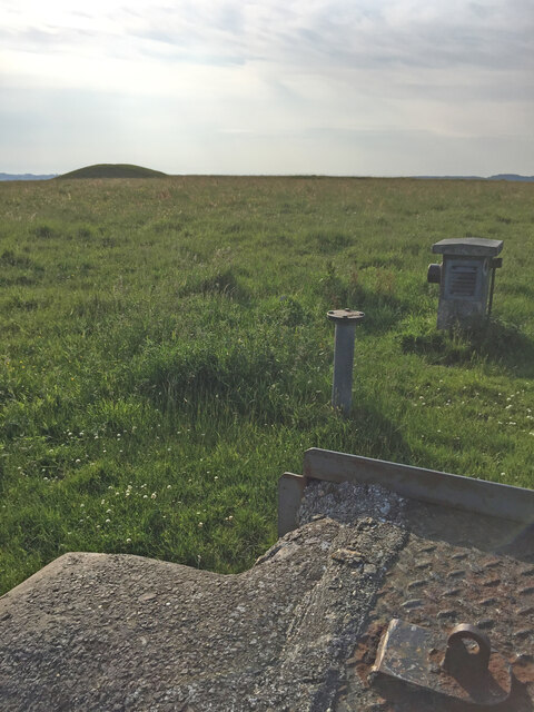
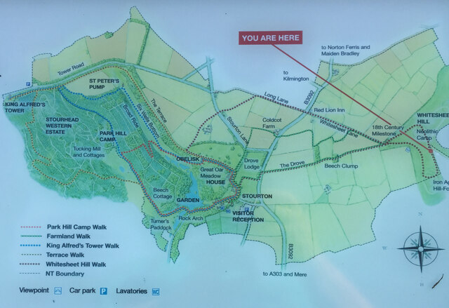
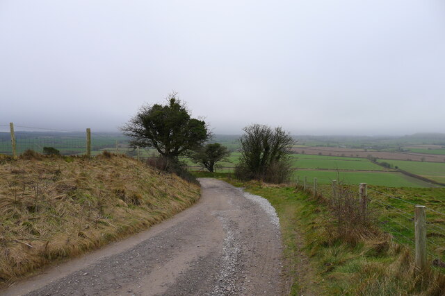
The wood is crisscrossed by a network of well-maintained footpaths, allowing visitors to explore its hidden treasures. These pathways wind through ancient trees and lead to picturesque clearings, where one can find picnic spots and benches to rest and soak in the peaceful surroundings. Additionally, the wood is home to a diverse range of animal species, including foxes, badgers, and various bird species, making it a haven for wildlife enthusiasts.

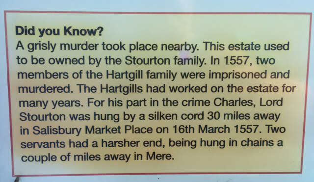
Deverells Wood holds significant historical and cultural value. It is believed to have been part of a medieval hunting ground and has witnessed centuries of human activity. Today, it serves as a popular recreational area for walkers, joggers, and dog owners, providing a serene escape from the bustling city life.

In summary, Deverells Wood is a captivating woodland in Wiltshire, offering visitors a peaceful retreat surrounded by nature's beauty. With its diverse flora and fauna, well-maintained footpaths, and historical significance, this enchanting forest is a must-visit destination for nature lovers and those seeking tranquility.

If you have any feedback on the listing, please let us know in the comments section below.

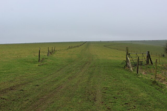
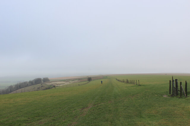
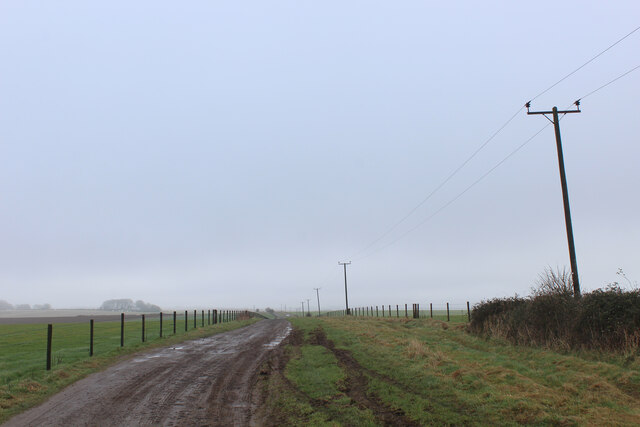
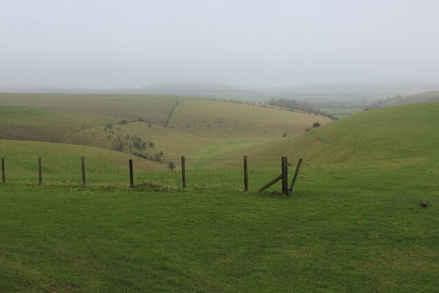
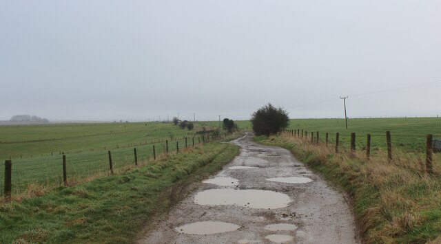
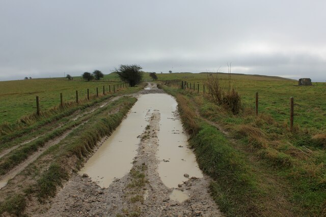
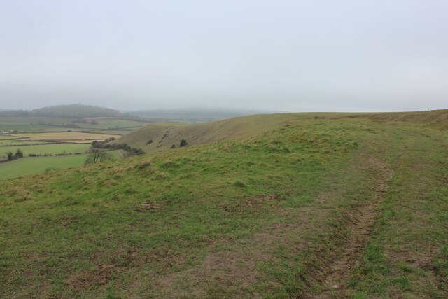
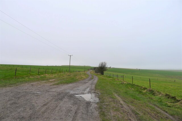
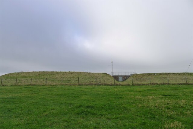
Deverells Wood Images

Images are sourced within 2km of 51.10359/-2.2825167 or Grid Reference ST8033. Thanks to Geograph Open Source API. All images are credited.

White Sheet Castle Trig Point Flush Bracket S2228
White Sheet Down ROC Station known as Mere <span class="nowrap"><a title="https://www.subbrit.org.uk/sites/mere-roc-post/" rel="nofollow ugc noopener" href="https://www.subbrit.org.uk/sites/mere-roc-post/">Link</a><img style="margin-left:2px;" alt="External link" title="External link - shift click to open in new window" src="https://s1.geograph.org.uk/img/external.png" width="10" height="10"/></span>
White Sheet Down ROC Station known as Mere
Did You Know?  White Castle Downs Sign
Did You Know? White Castle Downs Sign
Map of walks around White Sheet Hill
Between Rodmead Hill and White Sheet Hill The Mid Wilts Way follows the edge of windswept chalk downs
Between Rodmead Hill and White Sheet Hill
The Mid Wilts Way follows the edge of windswept chalk downs
Mid Wilts Way heading North East towards Rodmead Hill A 68 mile walk across Wiltshire.
<span class="nowrap"><a title="https://www.ldwa.org.uk/ldp/members/show_path.php?path_name=Mid-Wilts+Way" rel="nofollow ugc noopener" href="https://www.ldwa.org.uk/ldp/members/show_path.php?path_name=Mid-Wilts+Way">Link</a><img style="margin-left:2px;" alt="External link" title="External link - shift click to open in new window" src="https://s1.geograph.org.uk/img/external.png" width="10" height="10"/></span>
Mid Wilts Way heading North East towards Rodmead Hill
A 68 mile walk across Wiltshire. LinkExternal link
Byway on White Sheet Hill Heading east towards Mere Down
Byway on White Sheet Hill
Heading east towards Mere Down
View from White Sheet Hill Looks down into a dry valley, a typical feature of chalk country
View from White Sheet Hill
Looks down into a dry valley, a typical feature of chalk country
Track on White Sheet Hill
Chalky Puddles on White Sheet Hill Byway on White Sheet Hill
Chalky Puddles on White Sheet Hill
Byway on White Sheet Hill
White Sheet Downs
White Sheet Downs
Byway leading off White Sheet Hill We leave our brief encounter with the Mid Wilts Way, and now turn to the west
Byway leading off White Sheet Hill
We leave our brief encounter with the Mid Wilts Way, and now turn to the west
Reservoirs on White Sheet Hill Wessex Water stores borehole-abstracted groundwater in three reservoirs on the hill, the first one built in 1953. They have a combined storage of over 11 megalitres, and supply water to the Yeovil area.
<span class="nowrap"><a title="https://www.wessexwater.co.uk/-/media/files/wessexwater/corporate/strategy-and-reports/business-plan/0509d--water-network-plus-meav-methodology.pdf" rel="nofollow ugc noopener" href="https://www.wessexwater.co.uk/-/media/files/wessexwater/corporate/strategy-and-reports/business-plan/0509d--water-network-plus-meav-methodology.pdf">Link</a><img style="margin-left:2px;" alt="External link" title="External link - shift click to open in new window" src="https://s1.geograph.org.uk/img/external.png" width="10" height="10"/></span> <span class="nowrap"><a title="https://www.wessexwater.co.uk/-/media/files/wessexwater/environment/water-resources-management-plan-2014.pdf" rel="nofollow ugc noopener" href="https://www.wessexwater.co.uk/-/media/files/wessexwater/environment/water-resources-management-plan-2014.pdf">Link</a><img style="margin-left:2px;" alt="External link" title="External link - shift click to open in new window" src="https://s1.geograph.org.uk/img/external.png" width="10" height="10"/></span>
Reservoirs on White Sheet Hill
Wessex Water stores borehole-abstracted groundwater in three reservoirs on the hill, the first one built in 1953. They have a combined storage of over 11 megalitres, and supply water to the Yeovil area. LinkExternal link LinkExternal link
Byway leaving White Sheet Hill The track curves round the top of the chalk down escarpment
Byway leaving White Sheet Hill
The track curves round the top of the chalk down escarpment
Bridge over A303 at Mere The bridge carries Manor Way, which in turn is carrying the Mid Wilts Way LDP.
Bridge over A303 at Mere
The bridge carries Manor Way, which in turn is carrying the Mid Wilts Way LDP.
Path on the northern flank of Long Hill
View over Mere from Long Hill
Looking towards White Sheet Downs from Mere Castle The A303 passes under the bridge near the centre of this view.
Looking towards White Sheet Downs from Mere Castle
The A303 passes under the bridge near the centre of this view.
Show me another place!

Deverells Wood is located at Grid Ref: ST8033 (Lat: 51.10359, Lng: -2.2825167)

Unitary Authority: Wiltshire

Police Authority: Wiltshire

What 3 Words

///commended.conclude.forms. Near Mere, Wiltshire

Nearby Locations

Deverells Wood

Related Wikis

White Sheet Hill

White Sheet Hill, also known as Whitesheet Hill, is a hill in the English county of Wiltshire. As one of the most westerly areas of downland in Britain...

Dead Maid Quarry

Dead Maid Quarry (grid reference ST803324) is a 4,400 square metre geological Site of Special Scientific Interest in Mere, Wiltshire, England, notified...

Castle Hill, Mere

Castle Hill, also called Mere Castle, was a medieval fortification built by Richard, the Earl of Cornwall, in 1253 on a hill overlooking the town of Mere...

Mere, Wiltshire

Mere is a market town and civil parish in Wiltshire, England. It lies at the extreme southwestern tip of Salisbury Plain, close to the borders of Somerset...

Nearby Amenities

Located within 500m of 51.10359,-2.2825167
The data included in this document is from www.openstreetmap.org. The data is made available under ODbL.

Have you been to Deverells Wood?

Leave your review of Deverells Wood below (or comments, questions and feedback).