Snelson Covert
Wood, Forest in Cheshire
England
Snelson Covert
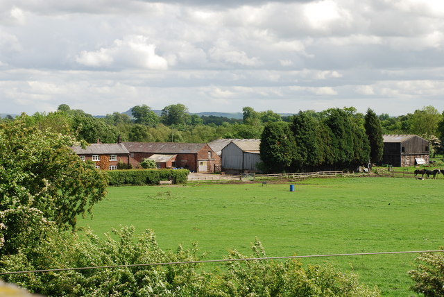
Snelson Covert is a small woodland area located in the county of Cheshire, England. Situated in the vicinity of the village of Snelson, this woodland is known for its natural beauty and tranquility, making it a popular destination for nature enthusiasts and those seeking peaceful surroundings.
Covering an area of approximately 200 acres, Snelson Covert is predominantly composed of deciduous trees, creating a stunning display of vibrant colors during the autumn season. The woodland is home to a diverse range of flora and fauna, with numerous species of plants, birds, and small mammals inhabiting the area.
Visitors to Snelson Covert can enjoy a variety of recreational activities such as walking, hiking, and birdwatching. The woodland offers a network of well-maintained trails, allowing visitors to explore its scenic beauty at their own pace. The peaceful atmosphere and picturesque surroundings also make it an ideal spot for picnics and nature photography.
Snelson Covert is managed by the local authorities, ensuring the preservation of its natural habitat and the protection of its inhabitants. The woodland is open to the public throughout the year, with no admission fees, making it easily accessible to all.
Overall, Snelson Covert is a charming woodland area in Cheshire, offering a serene escape from the hustle and bustle of everyday life. Whether you are a nature lover, a keen walker, or simply seeking a peaceful retreat, Snelson Covert provides a perfect opportunity to immerse yourself in the beauty of nature.
If you have any feedback on the listing, please let us know in the comments section below.
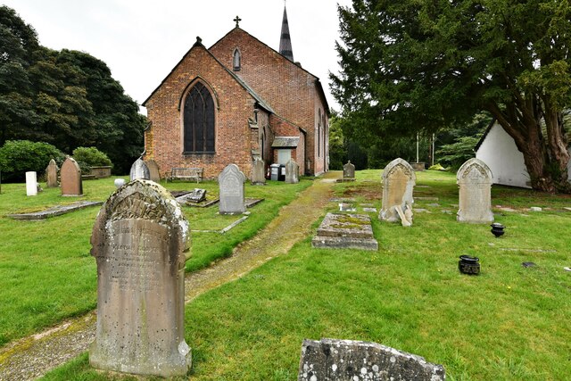
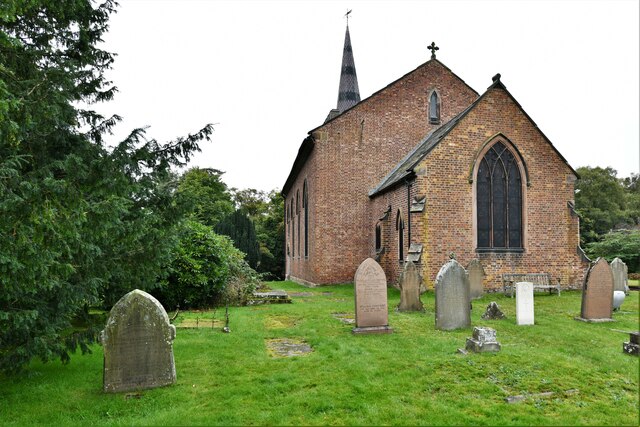
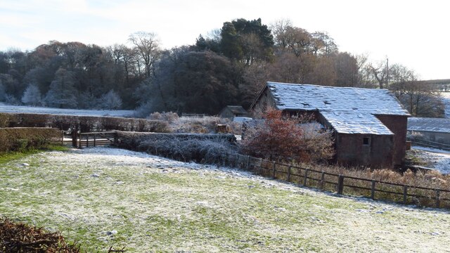
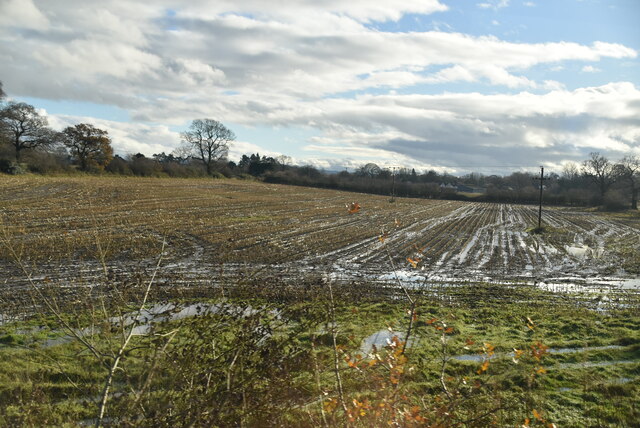
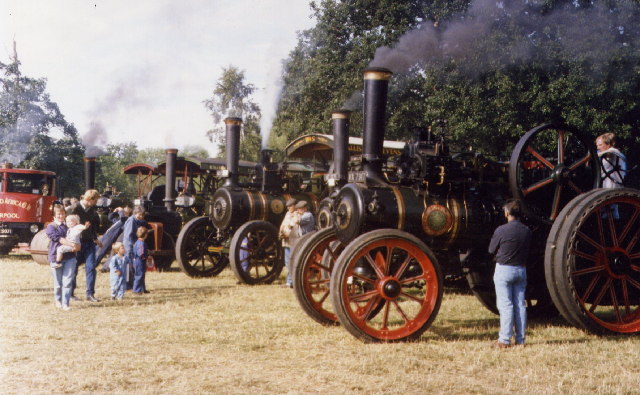
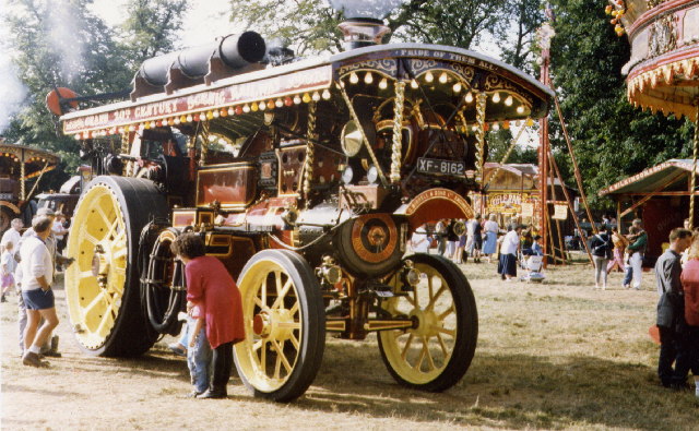
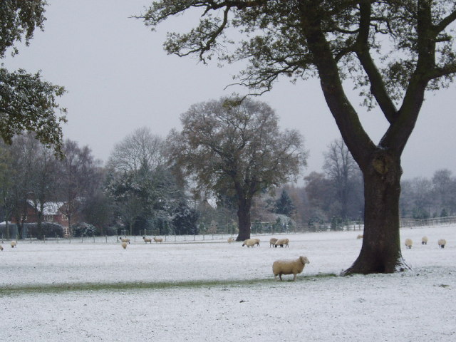
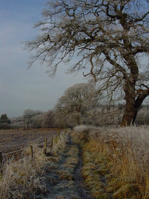
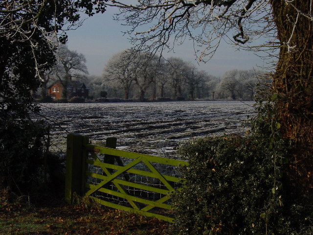
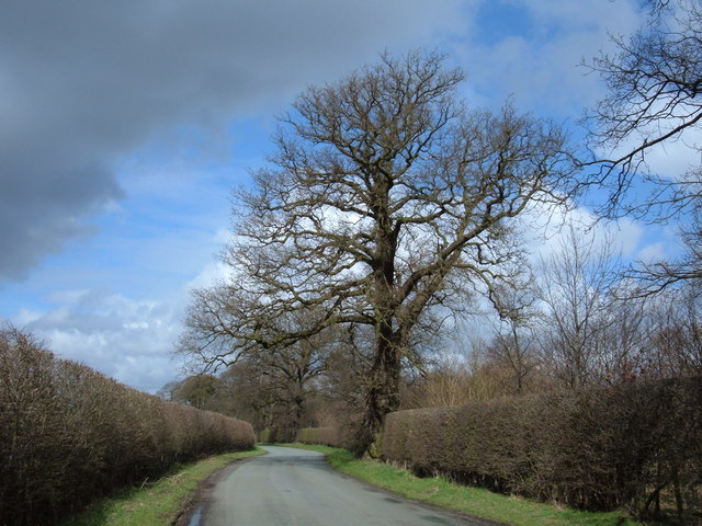
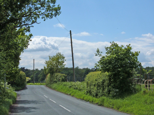
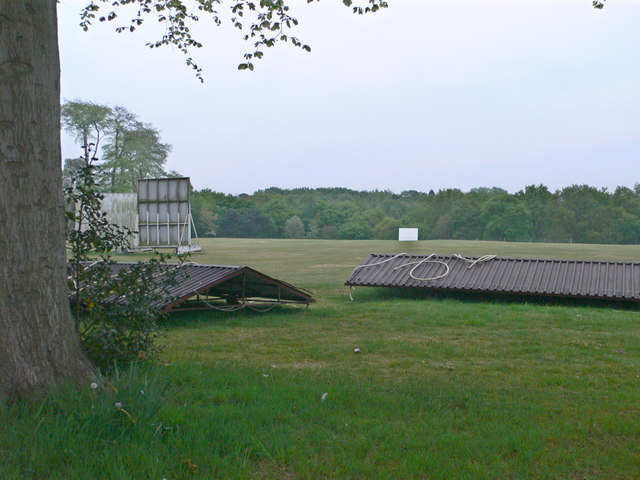
Snelson Covert Images
Images are sourced within 2km of 53.263007/-2.2965853 or Grid Reference SJ8074. Thanks to Geograph Open Source API. All images are credited.


Snelson Covert is located at Grid Ref: SJ8074 (Lat: 53.263007, Lng: -2.2965853)
Unitary Authority: Cheshire East
Police Authority: Cheshire
What 3 Words
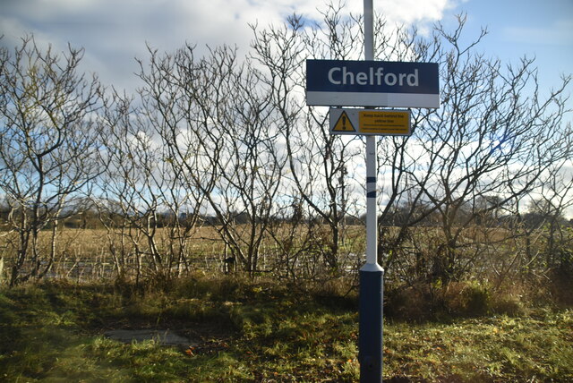
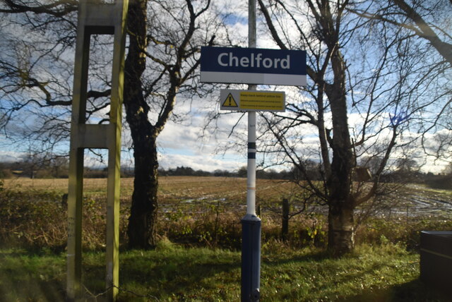
///napkins.stability.dearest. Near Chelford, Cheshire
Nearby Locations
Related Wikis
Snelson, Cheshire
Snelson is a former civil parish, now in the parish of Peover Superior and Snelson, in the Borough of Cheshire East and ceremonial county of Cheshire in...

Astle Hall
Astle Hall is a former country house located near Chelford, Cheshire in the North West of England. The hall has been demolished; its parkland and a lodge...

Astle Park
Astle Park is an area of land in the countryside a mile or so south of Chelford in Cheshire in England, on the west side of the A535 road (Holmes Chapel...

James Irlam
James Irlam & Sons Ltd (later trading as James Irlam Logistics) was a British road haulage company founded in the 1940s by James Irlam. It was owned and...
Nearby Amenities
Located within 500m of 53.263007,-2.2965853Have you been to Snelson Covert?
Leave your review of Snelson Covert below (or comments, questions and feedback).