Cow Hey Wood

Wood, Forest in Staffordshire South Staffordshire

England

Cow Hey Wood

Weston Park Looking back to Weston Park entrance gate and A5
Weston Park Credit: Mick Malpass

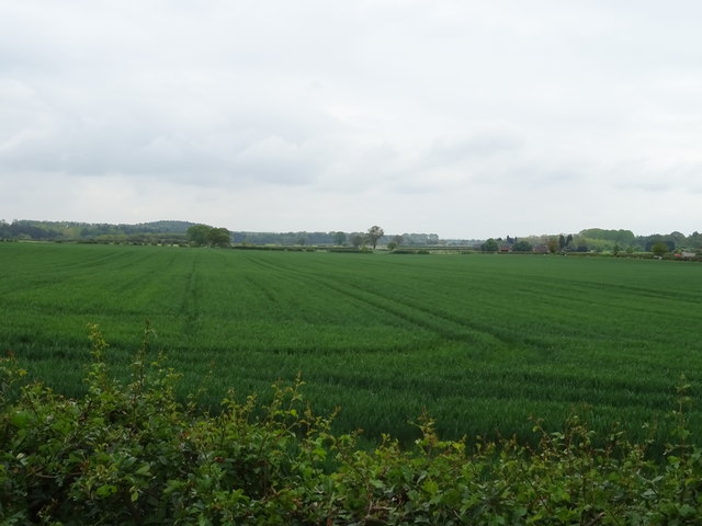
Cow Hey Wood is a picturesque woodland located in the county of Staffordshire, England. Covering an area of approximately 50 acres, it is nestled between the villages of Brewood and Coven. The wood is known for its diverse range of trees and plants, making it a haven for nature enthusiasts and hikers alike.

The woodland is predominantly composed of native broadleaf trees such as oak, birch, and beech, creating a rich canopy that provides shade and shelter for various wildlife species. In the springtime, the forest floor comes alive with a vibrant display of bluebells, adding a touch of color to the landscape.

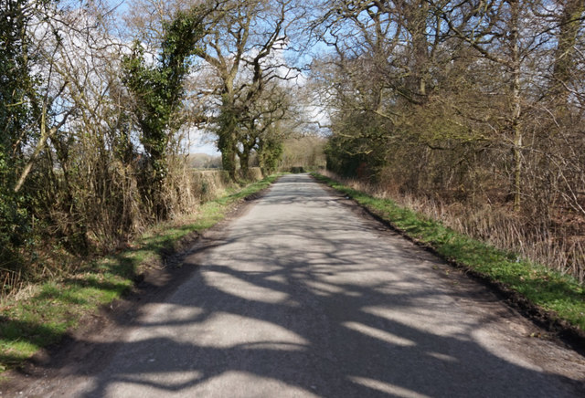
Several walking trails crisscross the wood, offering visitors the opportunity to explore its beauty. These well-maintained paths wind through the trees, allowing individuals to immerse themselves in the tranquility of nature. Along these trails, visitors may encounter a variety of wildlife, including deer, squirrels, and a wide array of bird species.

Cow Hey Wood also has historical significance, as it was once part of the hunting grounds for the nearby Brewood Manor. The remnants of an ancient hunting lodge can still be found within the wood, adding an element of intrigue and nostalgia to the area.

Overall, Cow Hey Wood in Staffordshire is a captivating woodland that combines natural beauty with a touch of history. With its diverse flora and fauna, peaceful walking trails, and historical remnants, it is a must-visit destination for nature lovers and those seeking a peaceful retreat.

If you have any feedback on the listing, please let us know in the comments section below.
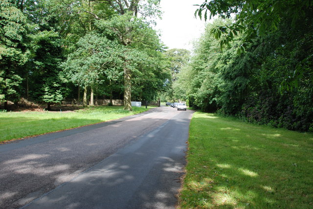
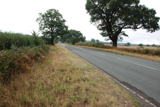
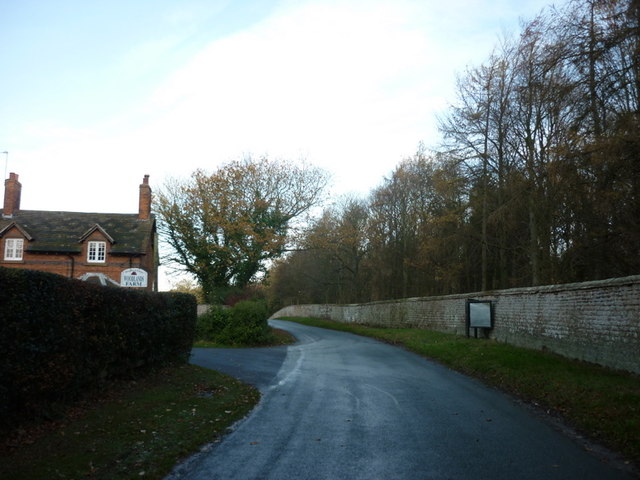
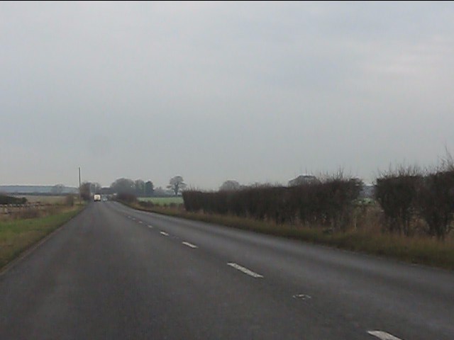
Cow Hey Wood Images

Images are sourced within 2km of 52.685232/-2.2932885 or Grid Reference SJ8009. Thanks to Geograph Open Source API. All images are credited.

Weston Park Looking back to Weston Park entrance gate and A5
Weston Park
Looking back to Weston Park entrance gate and A5
View down the B5314 Looking down the B5314 towards the A5 near Weston-u-Lizard.
View down the B5314
Looking down the B5314 towards the A5 near Weston-u-Lizard.
Mill Lane at Woodlands Lodge
A41 - dead straight at Lizard Grange
A5 at Staffordshire border
Approaching Weston under Lizard on A5
Entrance to Weston Hall
Ancient milestone beside the A41 An old & battered milestone on the west side of the A41 Chester Road. It allegedly holds a benchmark cut in 1959, but I couldn't see it - probably damaged beyond recognition over the passing years
Ancient milestone beside the A41
An old & battered milestone on the west side of the A41 Chester Road. It allegedly holds a benchmark cut in 1959, but I couldn't see it - probably damaged beyond recognition over the passing years
OS benchmark - entrance to Weston Park An OS cutmark on the gatepost at one of the entrances to the private grounds of Weston Park; originally levelled at 109.643m above Ordnance Datum Newlyn.
OS benchmark - entrance to Weston Park
An OS cutmark on the gatepost at one of the entrances to the private grounds of Weston Park; originally levelled at 109.643m above Ordnance Datum Newlyn.
OS benchmark - Woodlands Lodge An OS cutmark on the front face of the lodge at the entrance to Woodlands Farm; originally levelled at 107.442m above Ordnance Datum Newlyn.
OS benchmark - Woodlands Lodge
An OS cutmark on the front face of the lodge at the entrance to Woodlands Farm; originally levelled at 107.442m above Ordnance Datum Newlyn.
Shrewsbury Gate, Weston Park
Hatch Lane towards Blymill
Old Milestone by the A41, Tong parish Carved stone post by the A41, in parish of TONG (BRIDGNORTH District), South of Pickmere roundabout, by the road, on West side of road. Erected by the Wolverhampton, Albrighton district turnpike trust in the 19th century. 

Inscription not recorded.
Carved benchmark on east face.

Shropshire HER.
HER Number (PRN): 21090 <span class="nowrap"><a title="https://www.heritagegateway.org.uk/Gateway/Results_Single.aspx?uid=MSA23659&resourceID=1015" rel="nofollow ugc noopener" href="https://www.heritagegateway.org.uk/Gateway/Results_Single.aspx?uid=MSA23659&resourceID=1015">Link</a><img style="margin-left:2px;" alt="External link" title="External link - shift click to open in new window" src="https://s1.geograph.org.uk/img/external.png" width="10" height="10"/></span>

Milestone Society National ID: SA_NPWV06
Old Milestone by the A41, Tong parish
Carved stone post by the A41, in parish of TONG (BRIDGNORTH District), South of Pickmere roundabout, by the road, on West side of road. Erected by the Wolverhampton, Albrighton district turnpike trust in the 19th century. Inscription not recorded. Carved benchmark on east face. Shropshire HER. HER Number (PRN): 21090 LinkExternal link Milestone Society National ID: SA_NPWV06
Crop field south of Watling Street (A5)
Watling Street (A5) Looking east on the old Roman Road.
Watling Street (A5)
Looking east on the old Roman Road.
Woodlands Farm View from Watling Street (A5).
Woodlands Farm
View from Watling Street (A5).
Cereal crop south of Watling Street (A5)
No overtaking on Watling Street (A5) Looking east on the old Roman Road.
No overtaking on Watling Street (A5)
Looking east on the old Roman Road.
Show me another place!

Cow Hey Wood is located at Grid Ref: SJ8009 (Lat: 52.685232, Lng: -2.2932885)

Administrative County: Staffordshire

District: South Staffordshire

Police Authority: Staffordshire

What 3 Words

///germinate.tarred.migrate. Near Tong, Shropshire

Nearby Locations

Cow Hey Wood New Park Pool

Related Wikis

Weston Park

Weston Park is a country house in Weston-under-Lizard, Staffordshire, England, set in more than 1,000 acres (400 ha) of park landscaped by Capability Brown...

St Andrew's Church, Weston-under-Lizard

The Church of St Andrew, Weston-under-Lizard, Staffordshire is a Grade I listed Anglican church. Its origins are medieval, but it was largely rebuilt in...

Weston-under-Lizard

Weston-under-Lizard is a village and former civil parish, now in the parish of Blymhill and Weston-under-Lizard, in the South Staffordshire district of...

Bromsgrove Sandstone

The Bromsgrove Sandstone is a geologic formation of the Sherwood Sandstone Group in England. It preserves fossils and ichnofossils of Chirotherium barthii...

Nearby Amenities

Located within 500m of 52.685232,-2.2932885
The data included in this document is from www.openstreetmap.org. The data is made available under ODbL.

Have you been to Cow Hey Wood?

Leave your review of Cow Hey Wood below (or comments, questions and feedback).