Green Wood

Wood, Forest in Yorkshire Craven

England

Green Wood

Ford at Rathmell This overgrown ford is found on the track leading to Upper Sheep Wash which has now been bypassed by a new road.
Ford at Rathmell Credit: John Walton

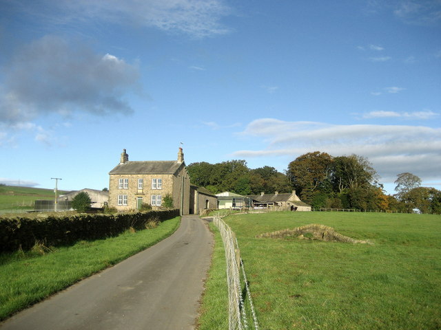
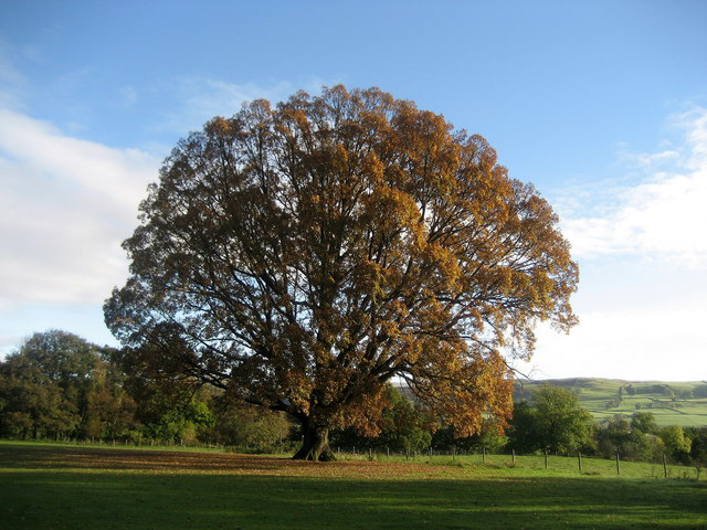
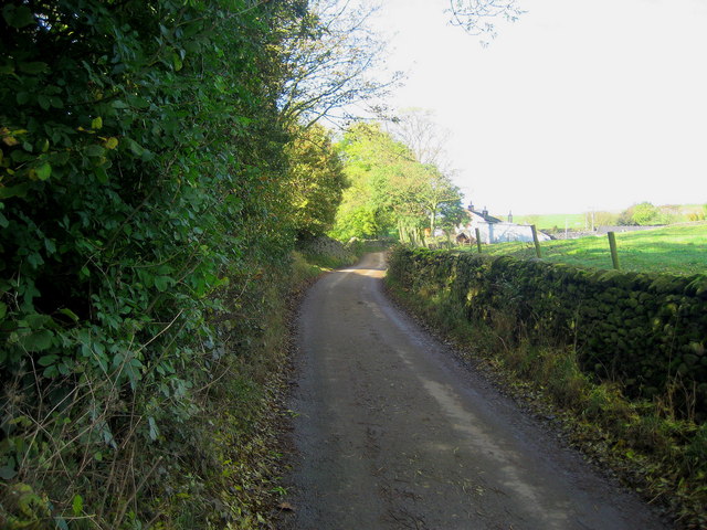
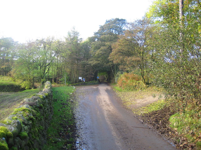
Green Wood is a small village situated in the county of Yorkshire, England. Known for its abundant greenery and breathtaking landscapes, it is nestled within the heart of a dense forest, hence its name. The village is surrounded by towering trees that create a serene and picturesque atmosphere, making it a popular destination for nature enthusiasts and hikers.

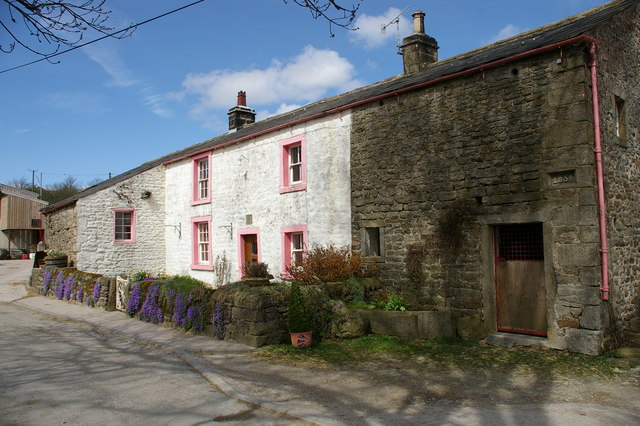
The village itself is quaint and idyllic, with charming cottages and a close-knit community. The residents of Green Wood take pride in their village and work diligently to maintain its natural beauty. The local council has implemented strict regulations to preserve the forest and ensure sustainable development.

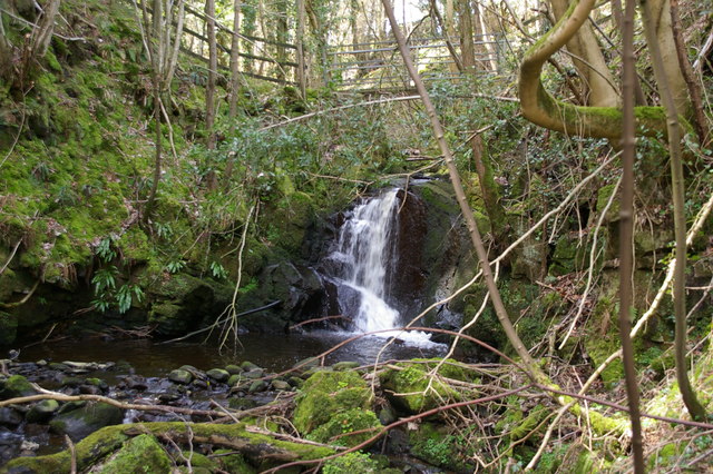
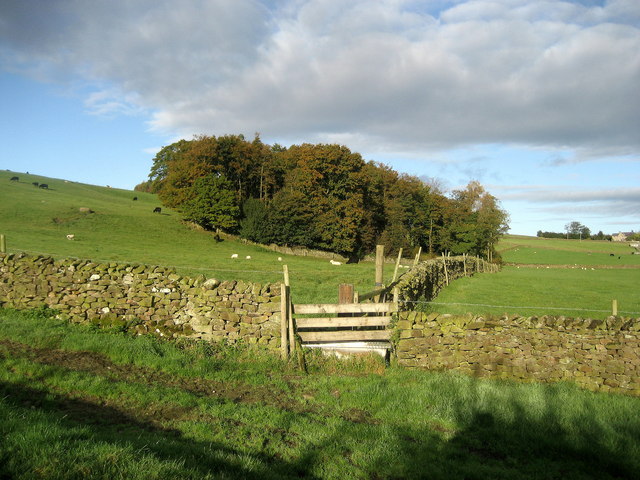
Visitors to Green Wood can enjoy a variety of outdoor activities. The forest offers numerous walking trails, allowing visitors to explore the lush green surroundings and discover hidden gems such as tranquil streams and wildlife habitats. The village also has a small lake where fishing is permitted, attracting anglers from near and far.

In terms of amenities, Green Wood has a village hall that serves as a hub for community events and gatherings. There is a local pub where residents and visitors can unwind and socialize, creating a warm and welcoming atmosphere.

Overall, Green Wood, Yorkshire is a haven for nature lovers seeking tranquility and a break from the hustle and bustle of everyday life. Its stunning landscapes and close-knit community make it a charming destination for those looking to immerse themselves in the beauty of the English countryside.

If you have any feedback on the listing, please let us know in the comments section below.
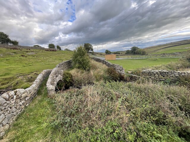
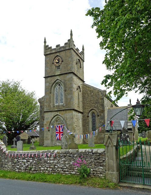
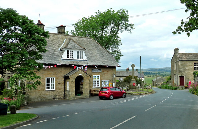
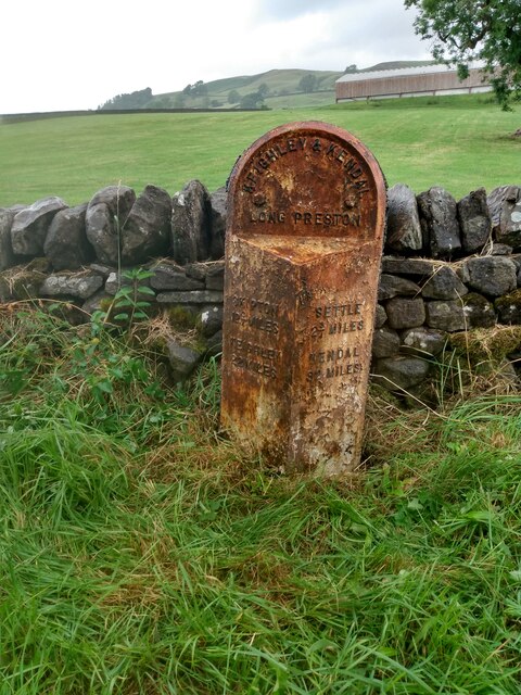
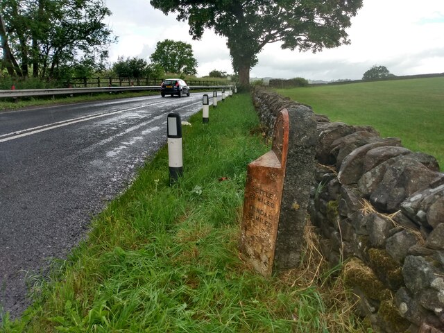
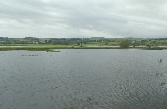
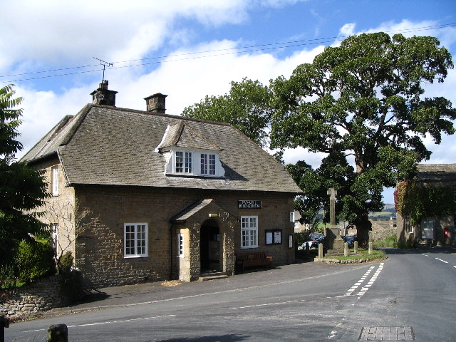
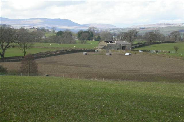
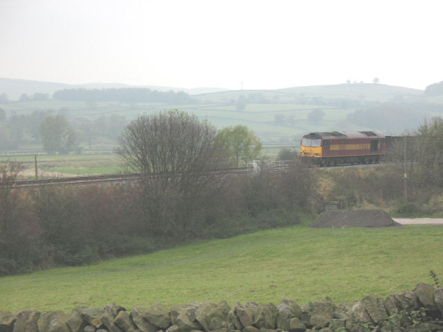
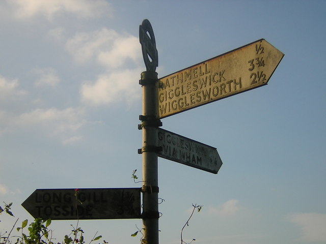
Green Wood Images

Images are sourced within 2km of 54.040511/-2.304907 or Grid Reference SD8060. Thanks to Geograph Open Source API. All images are credited.

Ford at Rathmell This overgrown ford is found on the track leading to Upper Sheep Wash which has now been bypassed by a new road.
Ford at Rathmell
This overgrown ford is found on the track leading to Upper Sheep Wash which has now been bypassed by a new road.
Holy Trinity Church, Rathmell Viewed in disappointing mid-June light, the churchyard was decorated for the Queen's Platinum Jubilee. For information about the building, see <a href="https://www.geograph.org.uk/photo/1445269">SD8059 : Holy Trinity Church, Rathmell</a>
Holy Trinity Church, Rathmell
Viewed in disappointing mid-June light, the churchyard was decorated for the Queen's Platinum Jubilee. For information about the building, see SD8059 : Holy Trinity Church, Rathmell
Rathmell Reading Room In the heart of Rathmell village, decorated for the Platinum Jubilee. The building is located at the junction of Hesley Lane and Main Street.
Rathmell Reading Room
In the heart of Rathmell village, decorated for the Platinum Jubilee. The building is located at the junction of Hesley Lane and Main Street.
Old milestone Another of the original 37 milestones set up on this route in 1893/94 for the West Riding CC.   It is looking very sad in its rusty coat.  There is no foundry name on the bevel but it could have been made by William Towler at the Globe Foundry in Leeds as were several milestones on this road.
Old milestone
Another of the original 37 milestones set up on this route in 1893/94 for the West Riding CC. It is looking very sad in its rusty coat. There is no foundry name on the bevel but it could have been made by William Towler at the Globe Foundry in Leeds as were several milestones on this road.
Old milestone Travelling towards Settle near Skir Beck, the thickness of the backing stone on these West Riding CC milestones can be appreciated.   615 were set up all over the old West Riding in 12 months from 1893/94.  It is Grade II listed 1301418.
Old milestone
Travelling towards Settle near Skir Beck, the thickness of the backing stone on these West Riding CC milestones can be appreciated. 615 were set up all over the old West Riding in 12 months from 1893/94. It is Grade II listed 1301418.
Flooded fields in Ribblesdale
Rathmell Reading Room, Rathmell village Rathmell Young Farmers Club uses the reading room weekly on Tuesdays at 7:30pm.
Rathmell Reading Room, Rathmell village
Rathmell Young Farmers Club uses the reading room weekly on Tuesdays at 7:30pm.
Derelict Barn Barn at the top of the square.
Derelict Barn
Barn at the top of the square.
Helsey Hall, Rathmell
Waterfall, Hesley Lane, Rathmell Found in woodland on the south side of Helsey Lane. The beck is traversed by a footbridge on the footpath too Boostagill
Waterfall, Hesley Lane, Rathmell
Found in woodland on the south side of Helsey Lane. The beck is traversed by a footbridge on the footpath too Boostagill
Buried pipeline National Grid is constructing a new 94km pipeline between Pannal near Harrogate and Nether Kellet near Lancaster. The new gas pipeline, which will have a diameter of 48 inches, is one of four which will link to form a trans-Pennine pipeline carrying gas from a terminal at Easington on the Yorkshire coast across to the North West.

Here the pipeline has been buried and the surface of the fields is in process of reinstatement.
Buried pipeline
National Grid is constructing a new 94km pipeline between Pannal near Harrogate and Nether Kellet near Lancaster. The new gas pipeline, which will have a diameter of 48 inches, is one of four which will link to form a trans-Pennine pipeline carrying gas from a terminal at Easington on the Yorkshire coast across to the North West. Here the pipeline has been buried and the surface of the fields is in process of reinstatement.
Meadow Wood Stretch of woodland seen from the Ribble Way and passed by on the road between Wigglesworth and Rathmell.
Meadow Wood
Stretch of woodland seen from the Ribble Way and passed by on the road between Wigglesworth and Rathmell.
Far Cappleside Following the Ribble Way as it approaches this farm near Rathmell, skirting to the right before disappearing into the trees.
Far Cappleside
Following the Ribble Way as it approaches this farm near Rathmell, skirting to the right before disappearing into the trees.
Tree at Rathmell and Wigglesworth Cricket Club Lovely beech tree in autumnal colours passed by the Ribble Way as it proceeds near the houses at Cappleside.
Tree at Rathmell and Wigglesworth Cricket Club
Lovely beech tree in autumnal colours passed by the Ribble Way as it proceeds near the houses at Cappleside.
Hesley Lane The lane near Hesley Hall, at this point, gives access to outlying and isolated farms and dwellings to Rathmell and the rest of the highway network.
Hesley Lane
The lane near Hesley Hall, at this point, gives access to outlying and isolated farms and dwellings to Rathmell and the rest of the highway network.
On Hensley Lane Following the lane westwards from Rathmell we approach a junction.  To the left a lane runs south to Long Gill, while my walk takes me straight on - a no through road that culminates at Whelpstone Lodge near the edge of Gisburn Forest.
On Hensley Lane
Following the lane westwards from Rathmell we approach a junction. To the left a lane runs south to Long Gill, while my walk takes me straight on - a no through road that culminates at Whelpstone Lodge near the edge of Gisburn Forest.
Railway at Skir Beck A southbound gypsum train crosses the farm access bridge at Skir Beck.
Railway at Skir Beck
A southbound gypsum train crosses the farm access bridge at Skir Beck.
Giggleswick Wigglesworth Tosside Wham Sign I don't think you get better names on a signpost!
Giggleswick Wigglesworth Tosside Wham Sign
I don't think you get better names on a signpost!
Show me another place!

Green Wood is located at Grid Ref: SD8060 (Lat: 54.040511, Lng: -2.304907)

Division: West Riding

Administrative County: North Yorkshire

District: Craven

Police Authority: North Yorkshire

What 3 Words

///suspended.dynamic.launch. Near Settle, North Yorkshire

Nearby Locations

Green Wood Spring Wood

Related Wikis

Rathmell

Rathmell is a village and civil parish in the Craven district of North Yorkshire, England. The population of the civil parish in the 2011 census was 305...

Settle Junction railway station

Settle Junction railway station was located near the town of Settle, North Yorkshire, England, immediately to south of the junction between the Midland...

Giggleswick railway station

Giggleswick is a railway station on the Bentham Line, which runs between Leeds and Morecambe via Skipton. The station, situated 41+1⁄4 miles (66 km) north...

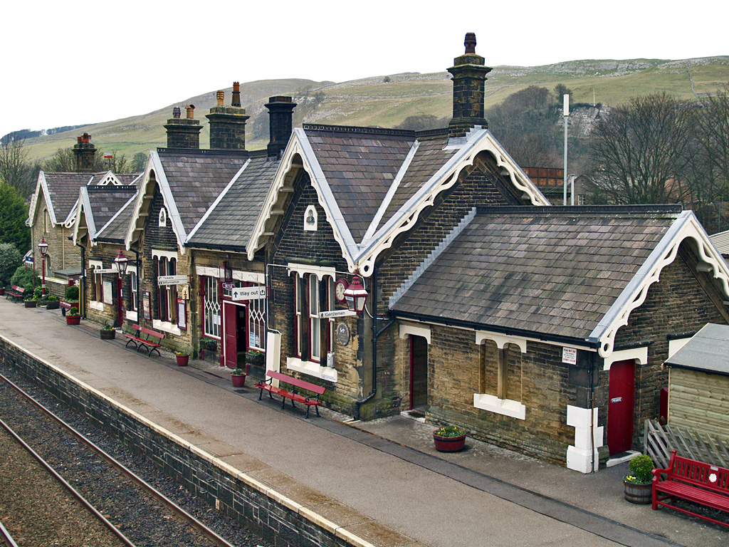
Settle railway station

Settle is a railway station on the Settle and Carlisle Line, which runs between Carlisle and Leeds via Settle. The station, situated 41 miles 37 chains...

Nearby Amenities

Located within 500m of 54.040511,-2.304907
Green Wood
Natural: woodland
Source: OS OpenData StreetView
Lat/Long: 54.0404346/-2.3049354
Spring Wood
Natural: woodland
Source: OS OpenData StreetView
Lat/Long: 54.0425262/-2.3057079
Power: pole
Lat/Long: 54.0446844/-2.303685
Power: pole
Lat/Long: 54.0438875/-2.303068
Power: pole
Lat/Long: 54.0432103/-2.3024458
Power: pole
Lat/Long: 54.0423787/-2.3017538
Power: pole
Lat/Long: 54.0415691/-2.3011208
Power: pole
Lat/Long: 54.0408667/-2.3004609
Power: pole
Lat/Long: 54.0393011/-2.2992969
Power: pole
Source: Bing
Lat/Long: 54.0378205/-2.2990394
Barrier: stile
Material: wood
Source: survey
Stile: stepover
Lat/Long: 54.0405467/-2.3100556
Fixme: longer than this
Lat/Long: 54.0405674/-2.3100907
Barrier: stile
Material: stone
Source: survey;gps
Stile: stepover
Lat/Long: 54.0404568/-2.309903
Barrier: stile
Material: wood
Source: survey;gps
Stile: stepover
Lat/Long: 54.040128/-2.3093216
Barrier: stile
Material: stone
Source: survey;gps
Stile: stepover
Lat/Long: 54.038628/-2.3074335
Barrier: stile
Material: stone
Source: survey;gps
Stile: stepover
Lat/Long: 54.0372259/-2.3051518
Barrier: stile
Material: stone
Source: survey;gps
Stile: stepover
Lat/Long: 54.0366978/-2.3022946
Barrier: stile
Material: stone
Source: survey;gps
Stile: stepover
Lat/Long: 54.0436275/-2.3072343
Barrier: stile
Material: stone
Source: survey;gps
Stile: stepover
Lat/Long: 54.0429905/-2.3077767
Power: pole
Source: Bing
Lat/Long: 54.044612/-2.3069975
Power: pole
Source: Bing
Lat/Long: 54.0438155/-2.3077082
Power: pole
Source: Bing
Lat/Long: 54.0436159/-2.3076486
Power: pole
Source: Bing
Lat/Long: 54.0433639/-2.3081414
Power: pole
Source: Bing
Lat/Long: 54.0426876/-2.3087017
Power: pole
Source: Bing
Lat/Long: 54.0420677/-2.3092257
Power: pole
Source: Bing
Lat/Long: 54.0414584/-2.309747
Power: pole
Source: Bing
Lat/Long: 54.0408324/-2.3103021
Power: pole
Source: Bing
Lat/Long: 54.0408324/-2.3108624
Power: pole
Source: Bing
Lat/Long: 54.0408355/-2.3116251
Power: pole
Source: Bing
Lat/Long: 54.0408355/-2.3124006
Power: pole
Source: Bing
Lat/Long: 54.0372848/-2.3005568
Power: pole
Source: Bing
Lat/Long: 54.0367486/-2.3021909
The data included in this document is from www.openstreetmap.org. The data is made available under ODbL.

Have you been to Green Wood?

Leave your review of Green Wood below (or comments, questions and feedback).