Spring Wood
Wood, Forest in Yorkshire Craven
England
Spring Wood
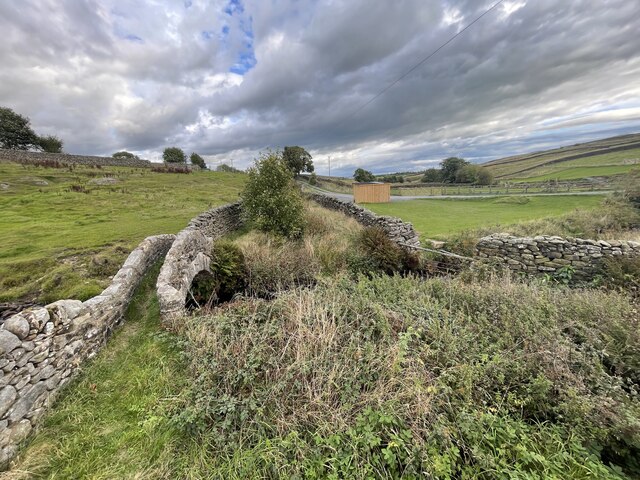
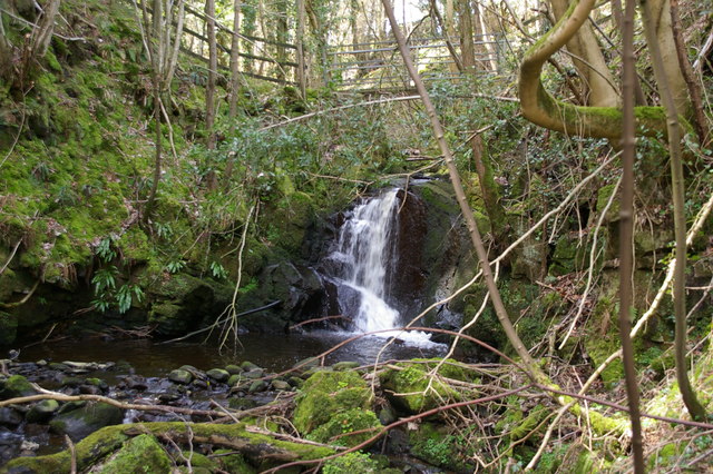
Spring Wood is a picturesque woodland located in the county of Yorkshire, England. Stretching over an area of approximately 100 acres, this natural oasis is renowned for its scenic beauty and diverse flora and fauna. Nestled within the heart of the Yorkshire Dales National Park, Spring Wood is a popular destination for nature enthusiasts, hikers, and wildlife lovers.
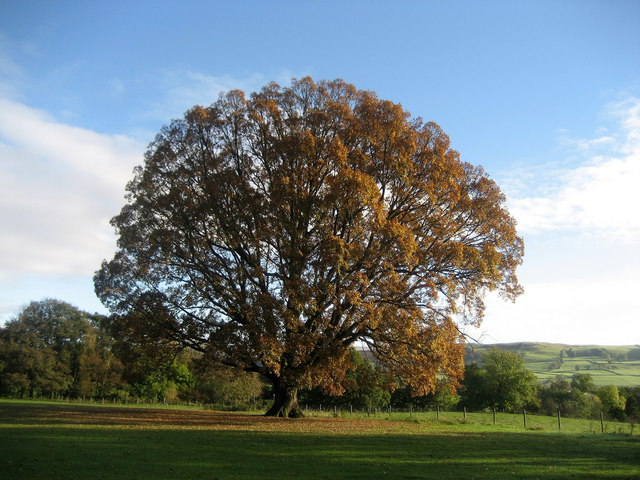
The woodland is characterized by a variety of trees, including oak, ash, beech, and birch, which create a dense canopy that provides shade and shelter to an abundance of wildlife. The forest floor is adorned with carpets of bluebells and wildflowers during the spring season, adding to the enchanting atmosphere of the wood.
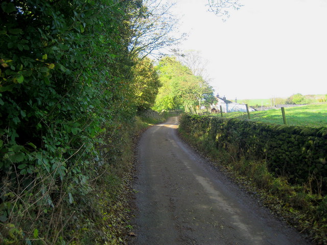
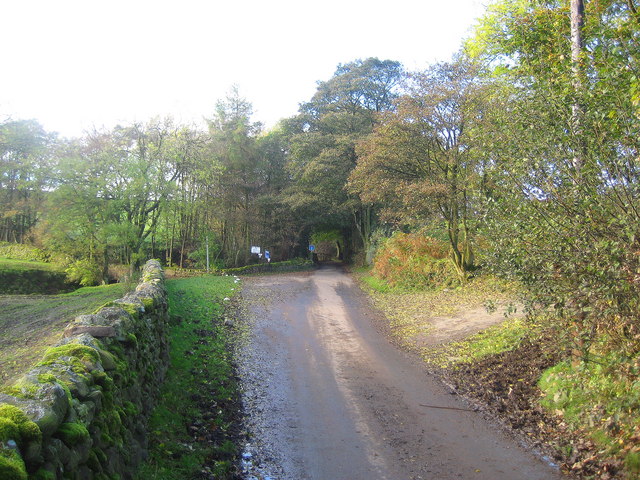
Several well-maintained walking trails wind their way through Spring Wood, offering visitors the opportunity to explore its natural wonders. As they traverse the pathways, visitors may encounter a diverse range of wildlife, including deer, foxes, squirrels, and numerous bird species. The wood is particularly popular among birdwatchers, as it provides a habitat for woodpeckers, owls, and various songbirds.
In addition to its natural beauty, Spring Wood has historical significance. The remains of a medieval settlement can be found within its boundaries, adding an intriguing element to the woodland's allure. These remnants serve as a reminder of the area's rich and vibrant past, adding to the sense of wonder and discovery that Spring Wood offers to its visitors.
Overall, Spring Wood is a captivating destination that combines natural beauty, tranquility, and historical charm. Whether one seeks a peaceful stroll, a chance to observe wildlife, or a glimpse into the past, this woodland in Yorkshire has something to offer to all who venture within its borders.
If you have any feedback on the listing, please let us know in the comments section below.
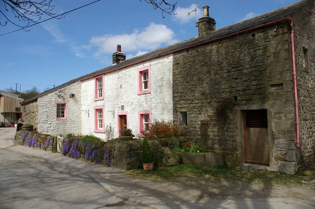
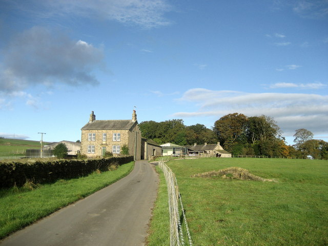
Spring Wood Images
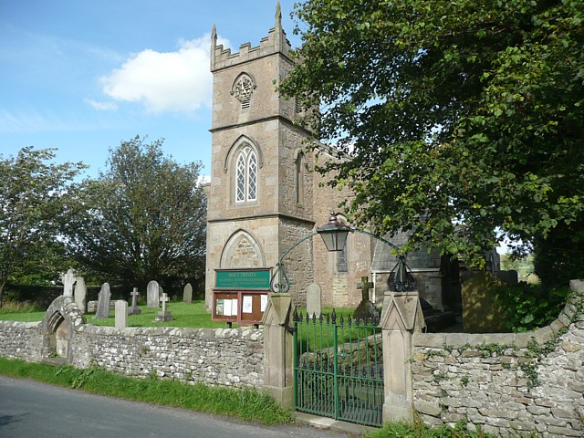
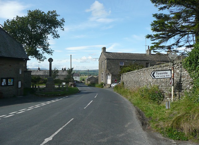
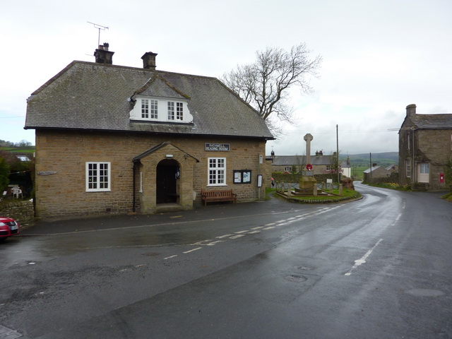
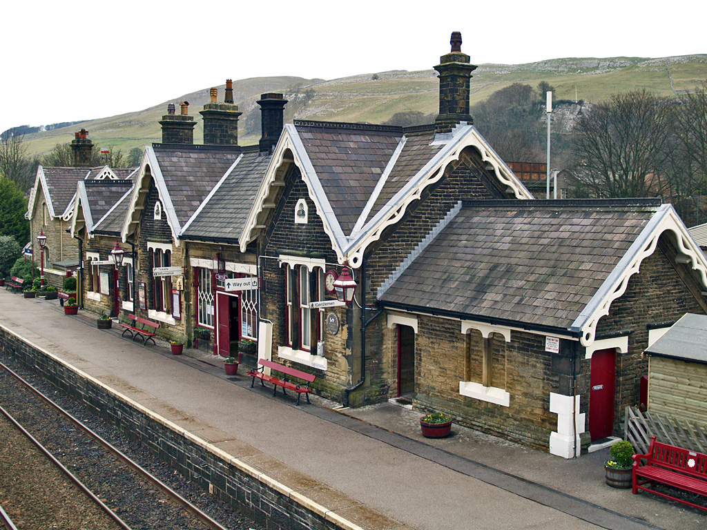
Images are sourced within 2km of 54.042648/-2.3058694 or Grid Reference SD8060. Thanks to Geograph Open Source API. All images are credited.


Spring Wood is located at Grid Ref: SD8060 (Lat: 54.042648, Lng: -2.3058694)
Division: West Riding
Administrative County: North Yorkshire
District: Craven
Police Authority: North Yorkshire
What 3 Words
///bonus.universally.cyclones. Near Settle, North Yorkshire
Nearby Locations
Related Wikis

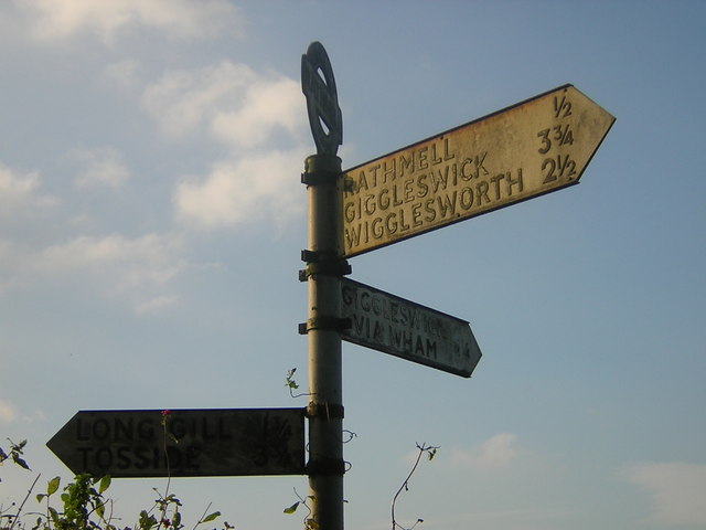
Rathmell
Rathmell is a village and civil parish in the Craven district of North Yorkshire, England. The population of the civil parish in the 2011 census was 305...

Settle Junction railway station
Settle Junction railway station was located near the town of Settle, North Yorkshire, England, immediately to south of the junction between the Midland...

Giggleswick railway station
Giggleswick is a railway station on the Bentham Line, which runs between Leeds and Morecambe via Skipton. The station, situated 41+1⁄4 miles (66 km) north...
Settle railway station
Settle is a railway station on the Settle and Carlisle Line, which runs between Carlisle and Leeds via Settle. The station, situated 41 miles 37 chains...
Nearby Amenities
Located within 500m of 54.042648,-2.3058694Have you been to Spring Wood?
Leave your review of Spring Wood below (or comments, questions and feedback).