New Plantation
Wood, Forest in Staffordshire South Staffordshire
England
New Plantation

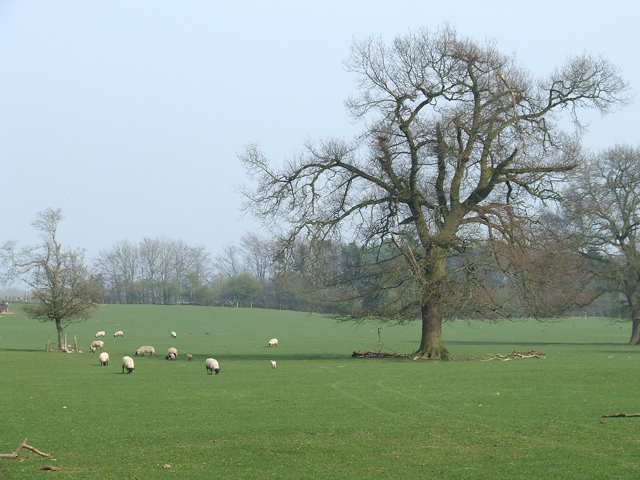
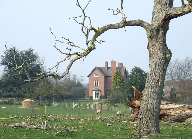
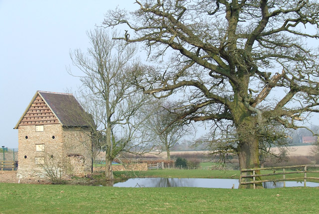
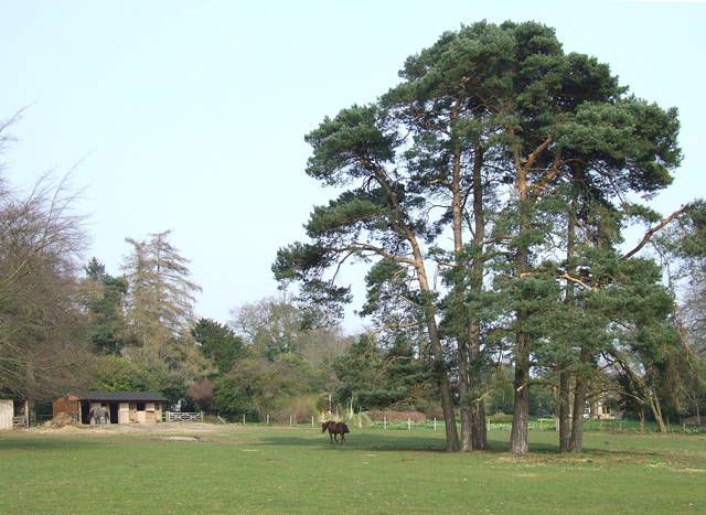
New Plantation, located in Staffordshire, is a picturesque woodland area known for its lush greenery and abundance of trees. Situated in the heart of the county, it covers a vast area and offers a serene and tranquil escape from the hustle and bustle of city life.
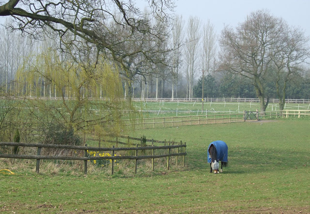
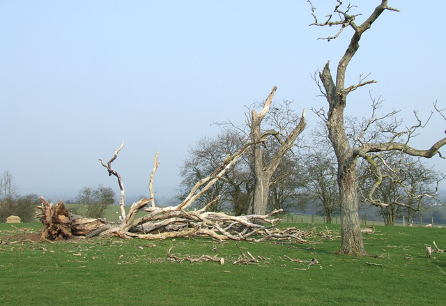
The plantation is primarily made up of various species of trees, including oak, beech, and birch, which create a diverse and vibrant ecosystem. The dense foliage provides a habitat for a wide range of wildlife, including birds, squirrels, and deer, making it a popular destination for nature enthusiasts and wildlife photographers.
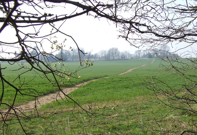
Visitors to New Plantation can explore the area through a network of well-maintained walking trails, allowing them to immerse themselves in the natural beauty of the forest. The trails offer stunning views of the surrounding landscape, with glimpses of rolling hills and meandering streams.
In addition to its natural beauty, New Plantation also serves as a recreational area for locals and tourists alike. It features picnic spots, where visitors can enjoy a leisurely lunch amidst the tranquil surroundings. The plantation also offers designated areas for camping and barbecuing, making it an ideal destination for families and outdoor enthusiasts.
Overall, New Plantation in Staffordshire is a haven for nature lovers, offering a peaceful and scenic retreat for those seeking solace in the great outdoors. Its diverse flora and fauna, coupled with its well-maintained trails and recreational facilities, make it a must-visit destination for anyone looking to reconnect with nature.
If you have any feedback on the listing, please let us know in the comments section below.
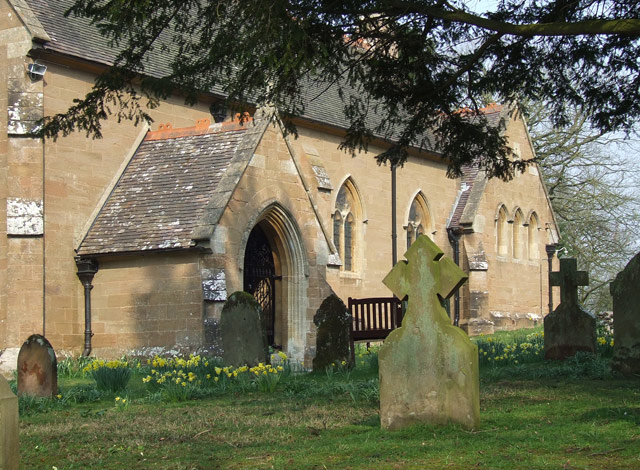
New Plantation Images
Images are sourced within 2km of 52.4914/-2.2941318 or Grid Reference SO8088. Thanks to Geograph Open Source API. All images are credited.


New Plantation is located at Grid Ref: SO8088 (Lat: 52.4914, Lng: -2.2941318)
Administrative County: Staffordshire
District: South Staffordshire
Police Authority: Staffordshire
What 3 Words
///readily.upsetting.consonant. Near Romsley, Shropshire
Nearby Locations
Related Wikis

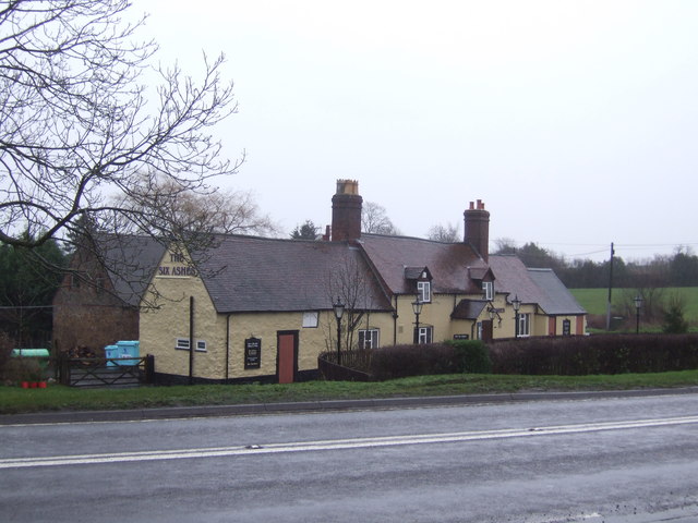
Six Ashes
Six Ashes is a small village in Shropshire, England, on the Shropshire side of the border with Staffordshire. == See also == Tripartite Indenture ��2...

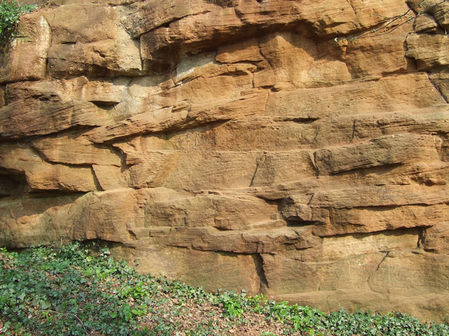
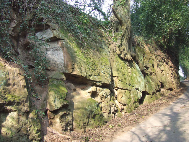
Mid Severn Sandstone Plateau
The Mid Severn Sandstone Plateau is a rural landscape and one of the natural regions of central England, straddling the border between the counties of...
Bobbington
Bobbington is a village and civil parish in the South Staffordshire district of Staffordshire, England, about 5 miles (8.0 km) west of Wombourne. According...

Enville, Staffordshire
Enville is a village and civil parish in rural Staffordshire, England, on the A458 road between Stourbridge and Bridgnorth. Enville is in the South Staffordshire...

Kingsnordley
Kingsnordley is a manor in the northern part of the parish of Alveley. This part of the parish has no nucleated village, but there is a Church of England...
Severn Valley
The Severn Valley is a rural area of the West Midlands region of England, through which the River Severn runs and the Severn Valley Railway steam heritage...

West Midlands (region)
The West Midlands is one of nine official regions of England at the first level of International Territorial Level for statistical purposes. It covers...

Great Fountain, Enville
The Great Fountain, Enville, was a fountain created in the mid-19th century by the Earl of Stamford in the middle of a lake on his Enville Hall estate...
Nearby Amenities
Located within 500m of 52.4914,-2.2941318Have you been to New Plantation?
Leave your review of New Plantation below (or comments, questions and feedback).