Stawardpeel Wood
Wood, Forest in Northumberland
England
Stawardpeel Wood
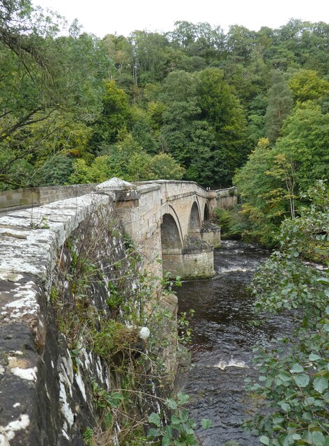
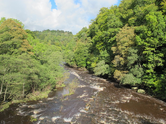
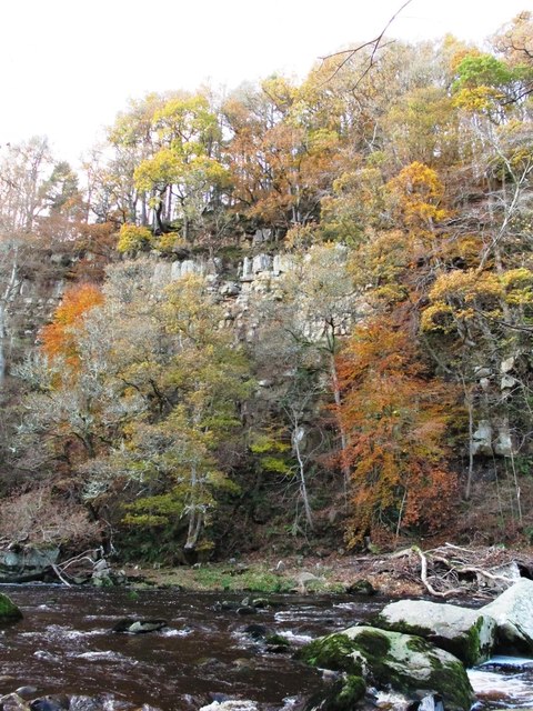
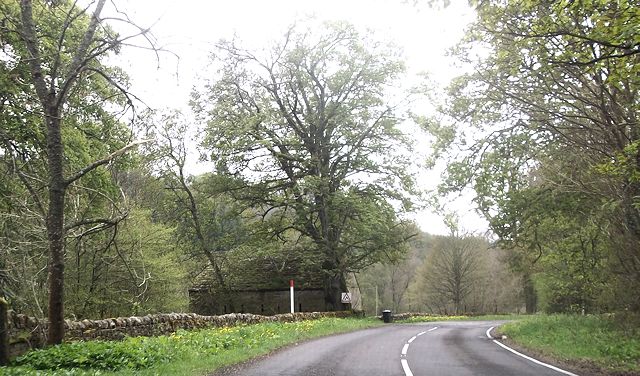
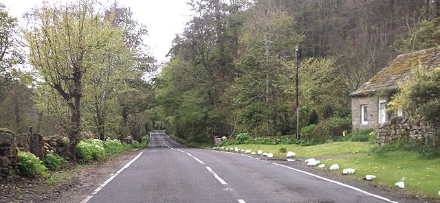
Stawardpeel Wood is a picturesque woodland located in the county of Northumberland, England. Covering an area of approximately 200 hectares, the wood is situated near the town of Hexham and is part of the wider North Pennines Area of Outstanding Natural Beauty.
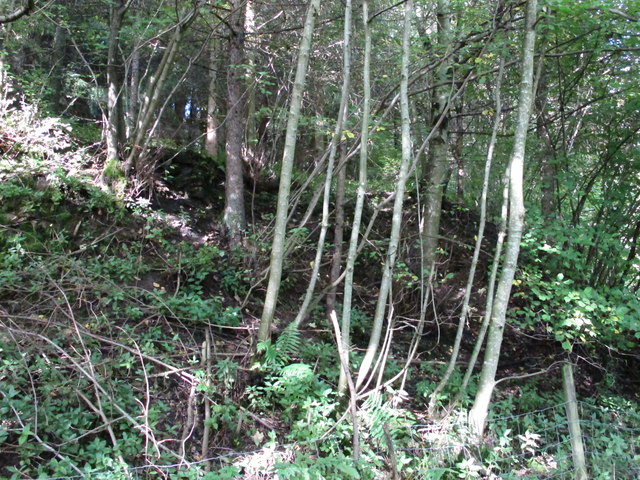
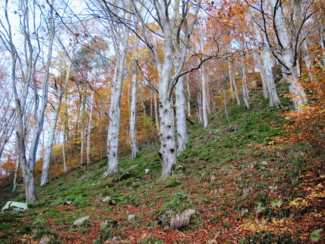
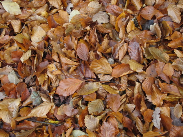
The wood is predominantly composed of mixed broadleaf and coniferous trees, with species such as oak, beech, and Scots pine dominating the landscape. This diverse range of trees creates a rich and vibrant ecosystem, providing habitats for a variety of flora and fauna.
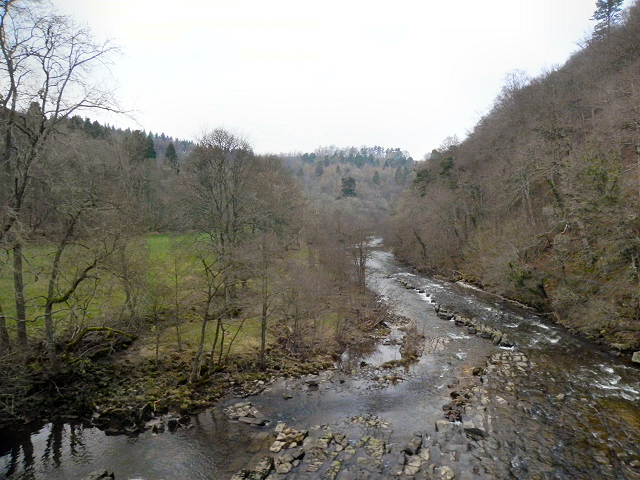
Visitors to Stawardpeel Wood can enjoy a network of well-maintained trails that wind through the woodland, offering stunning views of the surrounding countryside. These trails are suitable for both walkers and cyclists, making the wood a popular destination for outdoor enthusiasts.
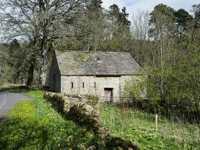
In addition to its natural beauty, Stawardpeel Wood also holds historical significance. The wood is home to the remains of a medieval pele tower, which was once used as a defensive structure during times of conflict. This historical feature adds an intriguing element to the wood's charm and attracts history enthusiasts.
The wood is managed by the Forestry Commission, ensuring its preservation and responsible use. As a result, visitors can expect well-preserved footpaths and signage throughout the woodland, as well as picnic areas and parking facilities.
Overall, Stawardpeel Wood offers a tranquil escape into nature, with its stunning landscapes, diverse wildlife, and historical landmarks making it a must-visit destination for nature lovers and history enthusiasts alike.
If you have any feedback on the listing, please let us know in the comments section below.
Stawardpeel Wood Images
Images are sourced within 2km of 54.935793/-2.3117259 or Grid Reference NY8060. Thanks to Geograph Open Source API. All images are credited.


Stawardpeel Wood is located at Grid Ref: NY8060 (Lat: 54.935793, Lng: -2.3117259)
Unitary Authority: Northumberland
Police Authority: Northumbria
What 3 Words
///bookmark.schematic.cocktail. Near Bardon Mill, Northumberland
Nearby Locations
Related Wikis

Staward Peel
Staward Peel, or Staward Pele, is a peel tower located in the National Trust property of Allen Banks & Staward Gorge in Northumberland, England. ��2�...

Staward Halt railway station
Staward Halt is a closed stone built railway station situated on a single track branch railway line in Northumberland, England, that ran from Allendale...

Allen Confluence Gravels
The Allen Confluence Gravels is the name given to a Site of Special Scientific Interest (SSSI) in Northumberland, England. The site, listed since 1968...

Briarwood Banks
Briarwood Banks is the name given to a woodland Site of Special Scientific Interest (SSSI) in north Northumberland, North East England. Composed mainly...
Nearby Amenities
Located within 500m of 54.935793,-2.3117259Have you been to Stawardpeel Wood?
Leave your review of Stawardpeel Wood below (or comments, questions and feedback).