Easthams Coppice

Wood, Forest in Worcestershire Wyre Forest

England

Easthams Coppice

Triangulation point off Trimpley Lane The hills on the horizon to the right of the triangulation point are, left to right, Hagley Hill & the Clent Hills just to the west of Birmingham.
Triangulation point off Trimpley Lane Credit: Row17

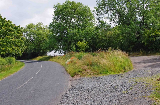
Easthams Coppice is a charming woodland located in Worcestershire, England. Covering an area of approximately 20 acres, it is a picturesque forest that attracts nature enthusiasts, hikers, and those seeking tranquility amidst the beauty of nature.

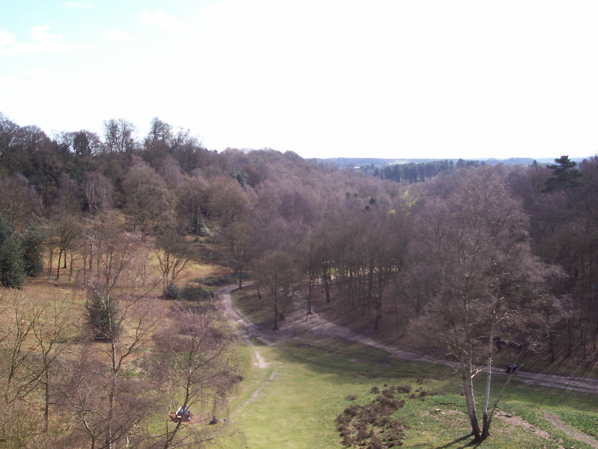
The coppice is predominantly composed of broadleaf trees, including oak, ash, beech, and birch. These trees provide a lush canopy, creating a cool and shaded environment even on hot summer days. The forest floor is carpeted with a variety of wildflowers and ferns, adding to the enchanting atmosphere.

The woodland is crisscrossed with well-maintained paths, allowing visitors to explore its hidden nooks and crannies. It is a paradise for walkers and hikers, offering a range of routes catering to different abilities and preferences. The paths wind through the trees, leading to open glades and small streams, making it a perfect spot for a picnic or a peaceful break.

Easthams Coppice boasts a diverse range of wildlife, providing a haven for many species. Visitors can spot squirrels darting among the branches, while birdwatchers can enjoy the melodic songs of various woodland birds, including woodpeckers, thrushes, and warblers. Lucky observers might even catch a glimpse of a deer or fox roaming through the undergrowth.

The coppice is managed by the local council, ensuring its preservation and conservation. It is open to the public throughout the year, catering to both locals and tourists alike. Easthams Coppice offers a serene escape from the hustle and bustle of everyday life, allowing visitors to reconnect with nature and experience the magic of the Worcestershire woodland.

If you have any feedback on the listing, please let us know in the comments section below.

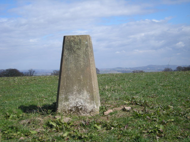
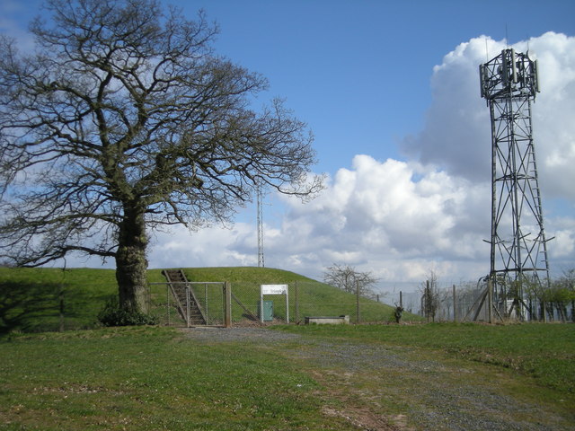
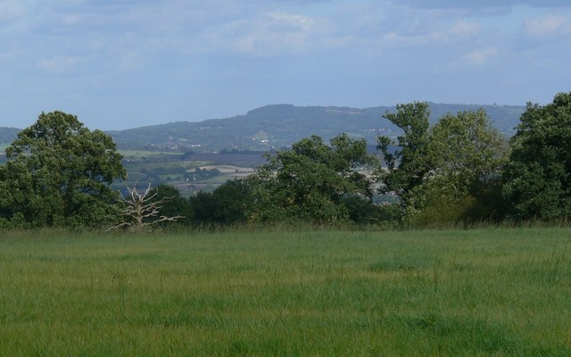
Easthams Coppice Images

Images are sourced within 2km of 52.405022/-2.2949088 or Grid Reference SO8078. Thanks to Geograph Open Source API. All images are credited.

Triangulation point off Trimpley Lane The hills on the horizon to the right of the triangulation point are, left to right, Hagley Hill & the Clent Hills just to the west of Birmingham.
Triangulation point off Trimpley Lane
The hills on the horizon to the right of the triangulation point are, left to right, Hagley Hill & the Clent Hills just to the west of Birmingham.
Reservoir & phone mast
Thistles next to Trimpley Lane
View through the thistles Looking west from near Trimpley Lane towards Titterstone Clee Hill, about 13 miles distant.
View through the thistles
Looking west from near Trimpley Lane towards Titterstone Clee Hill, about 13 miles distant.
Looking east towards the Clent Hills
Trimpley Lane at Brook's Coppice Heading south towards the village of Trimpley.
Trimpley Lane at Brook's Coppice
Heading south towards the village of Trimpley.
Tree in a field near Shatterford Offering great views in all directions, 202 metres above sea level.
Tree in a field near Shatterford
Offering great views in all directions, 202 metres above sea level.
View towards Dudley
View towards Dudley
Lane passing Upper Birch Farm
Layby and road near Trimpley This minor road comes up from the Severn Trent water treatment plant by the River Severn, and Eymore Wood, and passes through the small village of Trimpley. On the verge between the road and the layby, some poppies have very recently appeared.

<a href="https://www.geograph.org.uk/photo/2531606">SO7878 : Poppies in the roadside verge near Trimpley</a>.
Layby and road near Trimpley
This minor road comes up from the Severn Trent water treatment plant by the River Severn, and Eymore Wood, and passes through the small village of Trimpley. On the verge between the road and the layby, some poppies have very recently appeared. SO7878 : Poppies in the roadside verge near Trimpley.
Poppies in the roadside verge near Trimpley In the last couple of weeks, a few poppies have emerged here. It is surprising because the impressive displays, a few miles away, in fields near Bewdley, which appeared in early June, have almost completely disappeared.

<a href="https://www.geograph.org.uk/photo/2531580">SO7878 : Layby and road near Trimpley</a>.
Poppies in the roadside verge near Trimpley
In the last couple of weeks, a few poppies have emerged here. It is surprising because the impressive displays, a few miles away, in fields near Bewdley, which appeared in early June, have almost completely disappeared. SO7878 : Layby and road near Trimpley.
Distorted silver birch Growing alongside a path through Pigstyehill Coppice, in Habberley Valley.
Distorted silver birch
Growing alongside a path through Pigstyehill Coppice, in Habberley Valley.
House near Trimpley
House near Trimpley
Trees and pasture near Holbeache
House near Holbeache
A442 layby at Parkatt Wood
A442 at the entrance to Parkatt Meadows Farm
View east from Wassell Wood Looking through a gap in the trees on the eastern edge of a medieval earthworks.
View east from Wassell Wood
Looking through a gap in the trees on the eastern edge of a medieval earthworks.
Show me another place!

Easthams Coppice is located at Grid Ref: SO8078 (Lat: 52.405022, Lng: -2.2949088)

Administrative County: Worcestershire

District: Wyre Forest

Police Authority: West Mercia

What 3 Words

///snow.detergent.grad. Near Bewdley, Worcestershire

Related Wikis

Trimpley

Trimpley (grid reference SO793784) is a hamlet in the parish of Kidderminster Foreign. It lies on the ridge of Shatterford Hill, north of Wribbenhall...

Drakelow, Worcestershire

Drakelow is a hamlet in Worcestershire, England. It is one of the ancient townships of the manor of Wolverley, whose extent was similar to that of the...

Franche, Worcestershire

Franche is a village in Worcestershire, England, just outside Kidderminster. It is served by two main bus services. These are service 297 operated by...

Habberley, Worcestershire

Habberley was one of the hamlets of the ancient parish of Kidderminster in the county of Worcestershire, England. It is now divided so that part of it...

Baxter College

Baxter College is a mixed secondary school with academy status located in Kidderminster, Worcestershire, England. Prior to September 2002 the school was...

Northwood Halt railway station

Northwood Halt is an unstaffed request stop on the Severn Valley Railway in Worcestershire, situated a little to the north of Bewdley on the outskirts...

Shatterford

Shatterford is a village in the Wyre Forest District of Worcestershire, England, located north-west of Bewdley and lies less than a mile from the county...

Shatterford Hill

Shatterford Hill is an English geographical feature that extends from Bewdley in north Worcestershire to Birdsgreen near Alveley, just over the border...

Nearby Amenities

Located within 500m of 52.405022,-2.2949088
Habberley Golf Club
Naptan AtcoCode: 2000G022356
Naptan Bearing: NW
Naptan BusStopType: CUS
Naptan CommonName: Habberley Golf Club
Naptan Landmark: Golf Club
Naptan NaptanCode: wocgpdtd
Naptan ShortCommonName: Golf Club
Naptan Street: Habberley Lane
Naptan Verified: no
Source: naptan_import
Lat/Long: 52.4017152/-2.2905591
Tourism: viewpoint
Lat/Long: 52.4056242/-2.3017909
Barrier: kissing_gate
Foot: yes
Lat/Long: 52.4062402/-2.2913817
The Rock House Retreat
Tourism: hotel
Website: https://www.therockhouseretreat.co.uk
Lat/Long: 52.4066612/-2.2942664
Marker: post
Operator: CLH
Operator Old: GPSS
Source: bing
Utility: oil
Lat/Long: 52.4086197/-2.2984911
Marker: post
Operator: CLH
Operator Old: GPSS
Source: bing
Utility: oil
Lat/Long: 52.4071956/-2.2940388
Marker: post
Operator: CLH
Operator Old: GPSS
Source: bing
Utility: oil
Lat/Long: 52.407971/-2.2965208
Marker: post
Operator: CLH
Operator Old: GPSS
Source: bing
Utility: oil
Lat/Long: 52.4072797/-2.2943267
Marker: post
Operator: CLH
Operator Old: GPSS
Source: bing
Utility: oil
Lat/Long: 52.4069091/-2.2929548
Marker: aerial
Operator: CLH
Operator Old: GPSS
Ref GPSS: 18482
Utility: oil
Lat/Long: 52.4063896/-2.2905073
The data included in this document is from www.openstreetmap.org. The data is made available under ODbL.

Have you been to Easthams Coppice?

Leave your review of Easthams Coppice below (or comments, questions and feedback).