Lindore Wood

Wood, Forest in Staffordshire Stafford

England

Lindore Wood

Tinwood Bank Woodland at Tinwood Bank
Tinwood Bank Credit: P Gaskell

Lindore Wood is a picturesque forest located in Staffordshire, England. Covering an area of approximately 100 acres, it is a popular destination for nature lovers and outdoor enthusiasts alike. The wood is situated near the village of Wood, which lends its name to the forest.

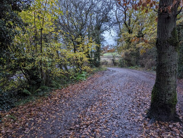
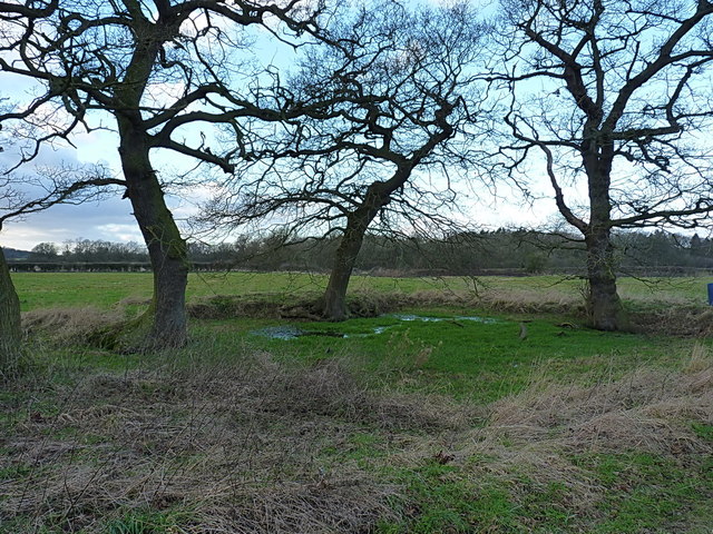
Lindore Wood is characterized by its dense canopy of towering trees, predominantly consisting of oak, beech, and ash. The woodland floor is adorned with a rich carpet of bluebells, wild garlic, and various other native plant species, creating a vibrant and colorful display during spring and summer months.

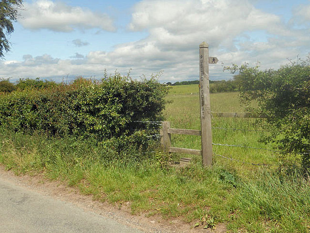
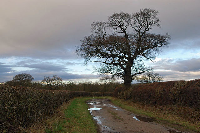
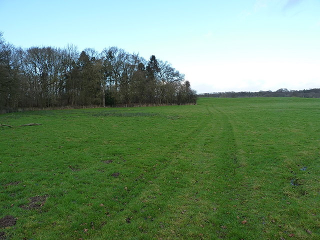
The forest boasts a network of well-maintained footpaths, making it easily accessible for visitors to explore. These paths wind their way through the wood, leading to hidden glades, tranquil ponds, and enchanting clearings. Wildlife is abundant within the forest, with sightings of deer, squirrels, and a wide variety of bird species being common.

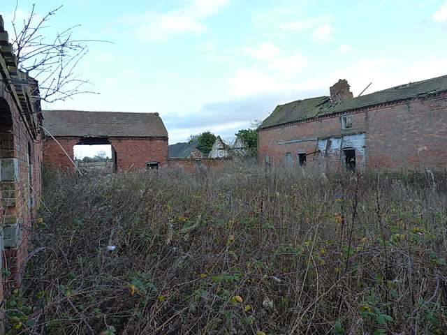
Lindore Wood also holds historical significance. It is believed to have been part of an ancient royal hunting ground, dating back to medieval times. Ruins of an old hunting lodge can still be found within the wood, adding an element of mystery and intrigue to the area.

Visitors to Lindore Wood can enjoy a range of outdoor activities, including walking, birdwatching, and photography. The peaceful and serene atmosphere of the forest provides an ideal escape from the bustling city life, allowing visitors to reconnect with nature and unwind in a tranquil setting.

If you have any feedback on the listing, please let us know in the comments section below.
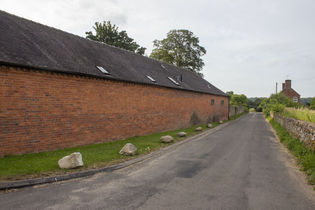
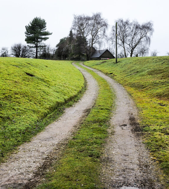
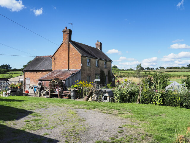
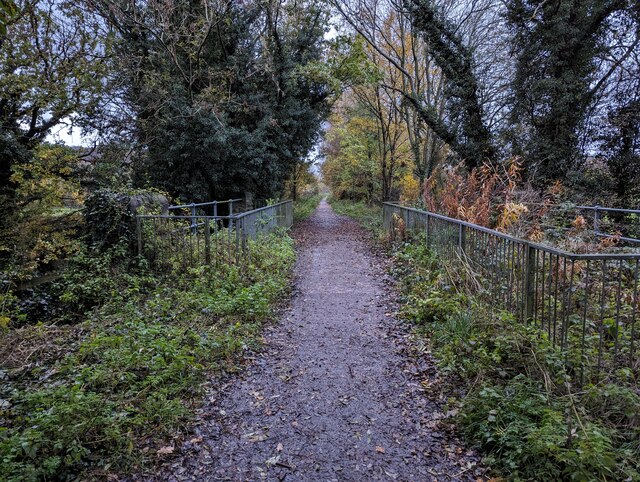
Lindore Wood Images

Images are sourced within 2km of 52.77085/-2.2999263 or Grid Reference SJ7919. Thanks to Geograph Open Source API. All images are credited.

Tinwood Bank Woodland at Tinwood Bank
Tinwood Bank
Woodland at Tinwood Bank
Coley Mill Farm Converted vernacular farm building at Coley Mill Farm
Coley Mill Farm
Converted vernacular farm building at Coley Mill Farm
Access road for Hilltop House Hilltop House is at the top of the drive, partly concealed by trees; it's not quite at the top of the hill - there's higher ground just beyond at the summit which has a trig point.
The road is also the route of a public footpath which bypasses the house on its left side.
Access road for Hilltop House
Hilltop House is at the top of the drive, partly concealed by trees; it's not quite at the top of the hill - there's higher ground just beyond at the summit which has a trig point. The road is also the route of a public footpath which bypasses the house on its left side.
Railway path passing beneath bridge The path is named the Way for the Millennium which is an 'easy walking' path, here following the route of the disused Newport to Stafford railway line. The high bridge carries the A518.
Railway path passing beneath bridge
The path is named the Way for the Millennium which is an 'easy walking' path, here following the route of the disused Newport to Stafford railway line. The high bridge carries the A518.
Detached house at or near Cotonwood The cottage is among a group of buildings including at least one other house, accessed from the minor road, Radmore Lane. A public footpath passes between the buildings.
Detached house at or near Cotonwood
The cottage is among a group of buildings including at least one other house, accessed from the minor road, Radmore Lane. A public footpath passes between the buildings.
Staffordshire Greenway Old abandoned railway, now a cycleway
Staffordshire Greenway
Old abandoned railway, now a cycleway
Newport to Stafford Greenway
Small car parking area adjacent to cycle path A small area for vehicle parking (free) just off Cycle Route 55.
Small car parking area adjacent to cycle path
A small area for vehicle parking (free) just off Cycle Route 55.
Sign and stile to a public footpath
Bridleway to Pollymoor Farm
Pollymoor Farm junction from A518
Swanpit Pool A small fishery run by Weston Under Lizard Angling Club, and stocked with a mixture of coarse fish. The ripples in the water at my feet are caused by the landing of a common carp, about 3lbs in weight, by an angler to whom I chatted briefly.
Swanpit Pool
A small fishery run by Weston Under Lizard Angling Club, and stocked with a mixture of coarse fish. The ripples in the water at my feet are caused by the landing of a common carp, about 3lbs in weight, by an angler to whom I chatted briefly.
The bridleway to Shelmore Here used as a farm track; further on, past the disused Pollymoor Farm, it's more vague on the ground.
The bridleway to Shelmore
Here used as a farm track; further on, past the disused Pollymoor Farm, it's more vague on the ground.
The old duckpond at Pollymoor Farm No longer much use to ducks, frankly.
The old duckpond at Pollymoor Farm
No longer much use to ducks, frankly.
Pollymoor Farm - derelict The old farmyard at Pollymoor, and all the barns are falling derelict. Such a shame.
Pollymoor Farm - derelict
The old farmyard at Pollymoor, and all the barns are falling derelict. Such a shame.
Vague bridleway The track here is barely recognisable across this rather damp field, as it leads towards the Humesford Brook and Shelmore.
Vague bridleway
The track here is barely recognisable across this rather damp field, as it leads towards the Humesford Brook and Shelmore.
Bridge over the Humesford Brook Carrying a bridleway over this feeder stream into Aqualate Mere, which rises a mile or so to the east of here, between Coton and Gnosall.
Bridge over the Humesford Brook
Carrying a bridleway over this feeder stream into Aqualate Mere, which rises a mile or so to the east of here, between Coton and Gnosall.
Tracks on a field of barley
Show me another place!

Lindore Wood is located at Grid Ref: SJ7919 (Lat: 52.77085, Lng: -2.2999263)

Administrative County: Staffordshire

District: Stafford

Police Authority: Staffordshire

What 3 Words

///magazines.defining.glider. Near Gnosall, Staffordshire

Related Wikis

Beffcote

Beffcote is a village in Staffordshire, England. For the population taken at the United Kingdom Census 2011 see Gnosall.

Coton, Staffordshire

Coton is a hamlet in the English county of Staffordshire.It lies on the A518 road some two miles west of Gnosall. == See also == Listed buildings in Gnosall...

Outwoods, Stafford

Outwoods is a hamlet in the English county of Staffordshire. Outwoods is located in the extreme west of the county near to the town of Newport, Shropshire...

Back Brook, English Midlands

The Back Brook is a minor watercourse in the English counties of Shropshire and Staffordshire, in places forming the boundary between the two, and located...

Moreton, Staffordshire

Moreton is a small rural village in the borough of Stafford in Staffordshire, England, near the border with Shropshire. It lies 3.5 miles (5.6 km) south...

Aqualate Hall

Aqualate Hall, a 20th-century country house, is located in Forton, Staffordshire, England, some 2 miles (3.2 km) east of the market town of Newport, Shropshire...

Aqualate Mere

Aqualate Mere, in Staffordshire, is the largest natural lake in the English Midlands and is managed as a national nature reserve (NNR) by Natural England...

Gnosall railway station

Gnosall railway station was a station in Gnosall, Staffordshire, England. The station was opened in June 1849 and closed on 7 September 1964. == References... ==

Nearby Amenities

Located within 500m of 52.77085,-2.2999263
Turning Circle
Lat/Long: 52.7696971/-2.2957107
The data included in this document is from www.openstreetmap.org. The data is made available under ODbL.

Have you been to Lindore Wood?

Leave your review of Lindore Wood below (or comments, questions and feedback).