David's Pits Covert

Wood, Forest in Staffordshire Stafford

England

David's Pits Covert

Tinwood Bank Woodland at Tinwood Bank
Tinwood Bank Credit: P Gaskell

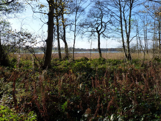
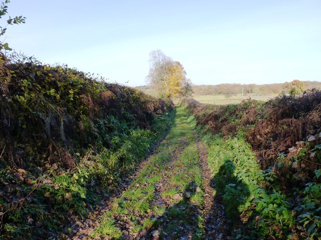
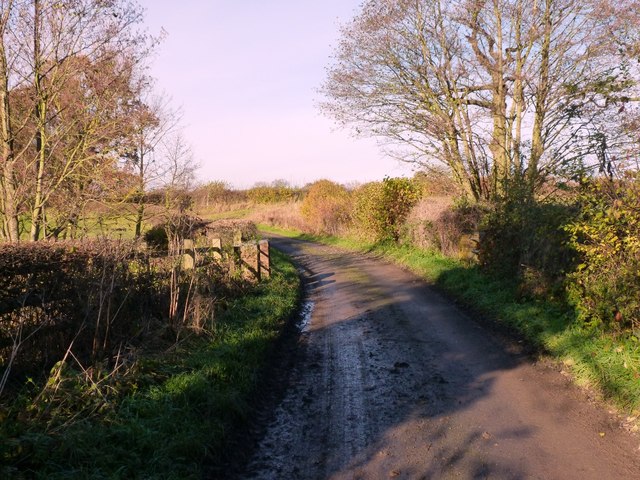
David's Pits Covert, located in Staffordshire, England, is a picturesque woodland area renowned for its natural beauty and rich biodiversity. Covering an expansive area, this wood, also known as David's Pits Forest, provides a tranquil escape from the bustling cities and offers visitors a chance to immerse themselves in the serenity of nature.

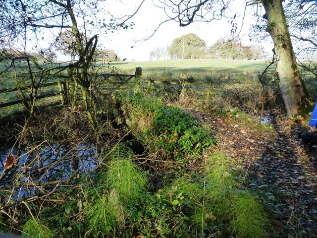
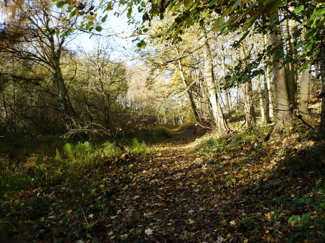
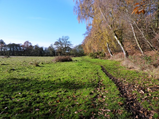
The woodland is characterized by its dense canopy of trees, predominantly composed of oak, beech, and birch. The towering trees create a cool and shady environment, perfect for exploring on warm summer days. The forest floor is covered in a thick carpet of moss and ferns, adding to the enchanting atmosphere.

The diverse wildlife that calls David's Pits Covert home is a major attraction for nature enthusiasts. Visitors can spot a variety of bird species, including woodpeckers, owls, and various songbirds, while lucky observers may even witness the graceful flight of birds of prey. The forest is also home to small mammals like squirrels, rabbits, and foxes, as well as a myriad of insects and butterflies.

The woodland offers several walking trails and paths that wind through the trees, providing visitors with the opportunity to explore the forest at their own pace. These paths are well-maintained and suitable for all ages and fitness levels. Along the way, there are benches and picnic areas strategically placed, allowing visitors to rest and appreciate the peaceful surroundings.

David's Pits Covert is a beloved natural retreat for locals and tourists alike, offering a genuine escape from the hustle and bustle of daily life.

If you have any feedback on the listing, please let us know in the comments section below.

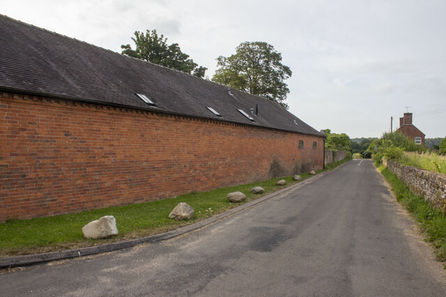
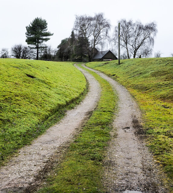
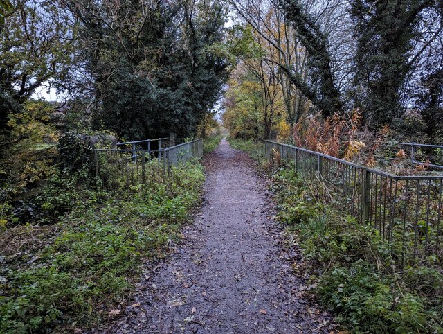
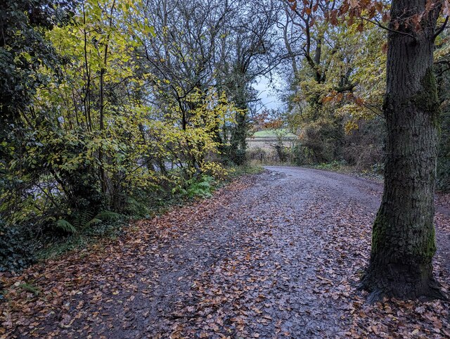
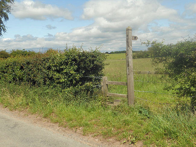
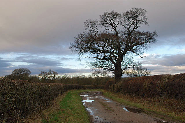
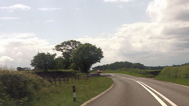
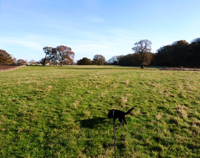
David's Pits Covert Images

Images are sourced within 2km of 52.775285/-2.3126606 or Grid Reference SJ7919. Thanks to Geograph Open Source API. All images are credited.

Tinwood Bank Woodland at Tinwood Bank
Tinwood Bank
Woodland at Tinwood Bank
Coley Mill Farm Converted vernacular farm building at Coley Mill Farm
Coley Mill Farm
Converted vernacular farm building at Coley Mill Farm
Access road for Hilltop House Hilltop House is at the top of the drive, partly concealed by trees; it's not quite at the top of the hill - there's higher ground just beyond at the summit which has a trig point.
The road is also the route of a public footpath which bypasses the house on its left side.
Access road for Hilltop House
Hilltop House is at the top of the drive, partly concealed by trees; it's not quite at the top of the hill - there's higher ground just beyond at the summit which has a trig point. The road is also the route of a public footpath which bypasses the house on its left side.
Staffordshire Greenway Old abandoned railway, now a cycleway
Staffordshire Greenway
Old abandoned railway, now a cycleway
Newport to Stafford Greenway
Small car parking area adjacent to cycle path A small area for vehicle parking (free) just off Cycle Route 55.
Small car parking area adjacent to cycle path
A small area for vehicle parking (free) just off Cycle Route 55.
Sign and stile to a public footpath
Bridleway to Pollymoor Farm
Pollymoor Farm junction from A518
Bridleway heading towards Aqualate Mere Daft Dog remains on the lead, as the next field holds a flock of sheep that he's not yet spotted.
Bridleway heading towards Aqualate Mere
Daft Dog remains on the lead, as the next field holds a flock of sheep that he's not yet spotted.
Bridleway bridge near New Guild Although barely visible due to the undergrowth, and the fact that much of it has been washed out & collapsed, a traditional arched packhorse bridge crosses this tiny stream.
Bridleway bridge near New Guild
Although barely visible due to the undergrowth, and the fact that much of it has been washed out & collapsed, a traditional arched packhorse bridge crosses this tiny stream.
Bridleway through the woods This woodland floor is a riot of bluebells in the spring.
Bridleway through the woods
This woodland floor is a riot of bluebells in the spring.
Aqualate Mere Or, rather more accurately, a distant view of the mere. From the north side, it's actually quite hard to get to, as the mere is very shallow generally, and the shore is marshy for a long way out. So it's a case of wade, or put up with a distant view.
The mere itself is an Ice Age relic, a large kettle hole that formed when a remnant piece of the glacial icesheet remained embedded in the till, melting more slowly than the surrounding glacier. When it finally disappeared, it left a depression in the land which has been filled with water ever since.
Aqualate Mere
Or, rather more accurately, a distant view of the mere. From the north side, it's actually quite hard to get to, as the mere is very shallow generally, and the shore is marshy for a long way out. So it's a case of wade, or put up with a distant view. The mere itself is an Ice Age relic, a large kettle hole that formed when a remnant piece of the glacial icesheet remained embedded in the till, melting more slowly than the surrounding glacier. When it finally disappeared, it left a depression in the land which has been filled with water ever since.
The bridleway back towards Forton Dry and pleasant at this end where it runs through the Nature Reserve and adjacent to the woods; it's rather a quagmire in places towards Forton.
The bridleway back towards Forton
Dry and pleasant at this end where it runs through the Nature Reserve and adjacent to the woods; it's rather a quagmire in places towards Forton.
A track down to the lane A farm track, but also a part of the bridleway network that runs around the northern side of the Aqualate Park and mere.
A track down to the lane
A farm track, but also a part of the bridleway network that runs around the northern side of the Aqualate Park and mere.
The bridge over the Wood Brook
Wood Brook A small stream that rises over to the NE near Norbury Junction, and flows into Aqualate Mere in <a href="https://www.geograph.org.uk/gridref/SJ7720">SJ7720</a>. An old packhorse bridge crosses it in <a href="https://www.geograph.org.uk/photo/3230830">SJ7720 : Bridleway bridge near New Guild</a>
Wood Brook
A small stream that rises over to the NE near Norbury Junction, and flows into Aqualate Mere in SJ7720. An old packhorse bridge crosses it in SJ7720 : Bridleway bridge near New Guild
Swanpit Pool A small fishery run by Weston Under Lizard Angling Club, and stocked with a mixture of coarse fish. The ripples in the water at my feet are caused by the landing of a common carp, about 3lbs in weight, by an angler to whom I chatted briefly.
Swanpit Pool
A small fishery run by Weston Under Lizard Angling Club, and stocked with a mixture of coarse fish. The ripples in the water at my feet are caused by the landing of a common carp, about 3lbs in weight, by an angler to whom I chatted briefly.
Show me another place!

David's Pits Covert is located at Grid Ref: SJ7919 (Lat: 52.775285, Lng: -2.3126606)

Administrative County: Staffordshire

District: Stafford

Police Authority: Staffordshire

What 3 Words

///supposing.poet.recapture. Near Gnosall, Staffordshire

Related Wikis

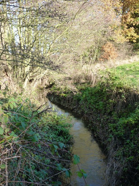
Back Brook, English Midlands

The Back Brook is a minor watercourse in the English counties of Shropshire and Staffordshire, in places forming the boundary between the two, and located...

Aqualate Hall

Aqualate Hall, a 20th-century country house, is located in Forton, Staffordshire, England, some 2 miles (3.2 km) east of the market town of Newport, Shropshire...

Outwoods, Stafford

Outwoods is a hamlet in the English county of Staffordshire. Outwoods is located in the extreme west of the county near to the town of Newport, Shropshire...

Aqualate Mere

Aqualate Mere, in Staffordshire, is the largest natural lake in the English Midlands and is managed as a national nature reserve (NNR) by Natural England...

Beffcote

Beffcote is a village in Staffordshire, England. For the population taken at the United Kingdom Census 2011 see Gnosall.

Coton, Staffordshire

Coton is a hamlet in the English county of Staffordshire.It lies on the A518 road some two miles west of Gnosall. == See also == Listed buildings in Gnosall...

Moreton, Staffordshire

Moreton is a small rural village in the borough of Stafford in Staffordshire, England, near the border with Shropshire. It lies 3.5 miles (5.6 km) south...

Gnosall Rural District

Gnosall was a rural district in Staffordshire, England from 1894 to 1934. It was formed under the Local Government Act 1894 from that part of the Newport...

Nearby Amenities

Located within 500m of 52.775285,-2.3126606
Bus Stop
David's Pits Covert
Bus: yes
Naptan AtcoCode: 3800C751600
Naptan Bearing: W
Naptan CommonName: David's Pits Covert
Naptan Indicator: opp
Naptan Landmark: David's Pits Covert
Naptan NaptanCode: stadadmg
Naptan Street: Newport Road
Naptan Verified: no
Public Transport: platform
Source: naptan_import
Lat/Long: 52.7747122/-2.3123371
Bus Stop
David's Pits Covert
Bus: yes
Naptan AtcoCode: 3800C751601
Naptan Bearing: E
Naptan CommonName: David's Pits Covert
Naptan Indicator: adj
Naptan Landmark: David's Pits Covert
Naptan NaptanCode: stadadmj
Naptan Street: Newport Road
Naptan Verified: no
Public Transport: platform
Source: naptan_import
Lat/Long: 52.7751029/-2.3107389
The data included in this document is from www.openstreetmap.org. The data is made available under ODbL.

Have you been to David's Pits Covert?

Leave your review of David's Pits Covert below (or comments, questions and feedback).