Ashcroft Wood

Wood, Forest in Gloucestershire Cotswold

England

Ashcroft Wood

Stone Stile, Ozleworth Park To the left of the main gates to the Old Rectory, on Gloucestershire footpath NOZ2 (listed as a Bridleway). Off Blacksmiths Hill.
Stone Stile, Ozleworth Park Credit: Mike Kom

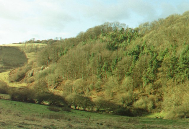
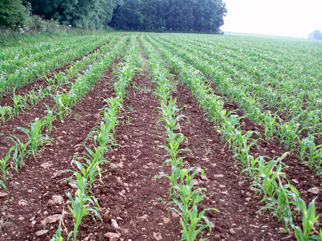
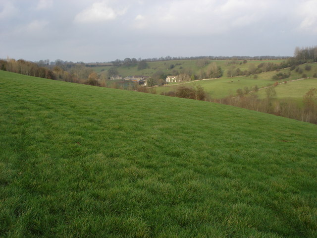
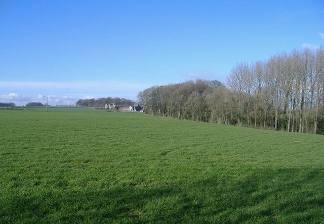
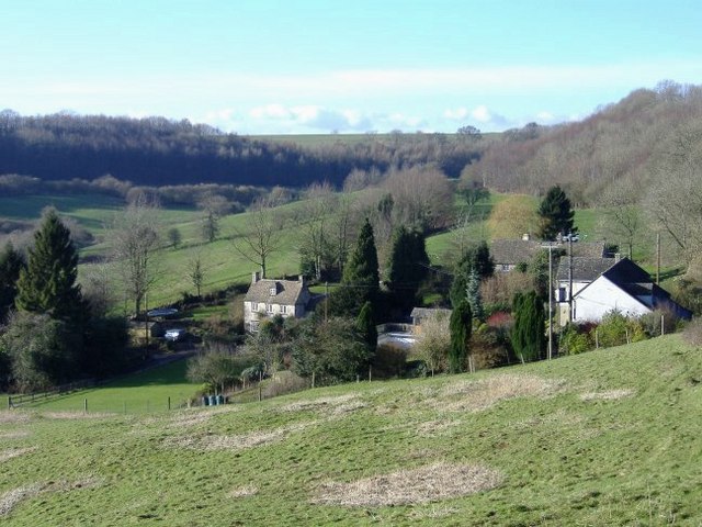
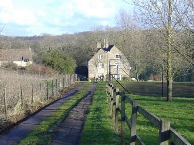
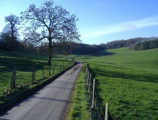
Ashcroft Wood is a picturesque forest located in Gloucestershire, England. Covering an area of approximately 100 acres, it is a haven for nature enthusiasts and outdoor lovers. The wood is situated near the village of Ashcroft, surrounded by stunning countryside and rolling hills.

The forest is home to a diverse range of wildlife, including deer, badgers, foxes, and numerous bird species. It boasts a rich variety of trees, with oak, beech, and birch being the prominent species. The dense canopy created by these trees provides a cool and tranquil atmosphere, perfect for a relaxing stroll or a peaceful picnic.

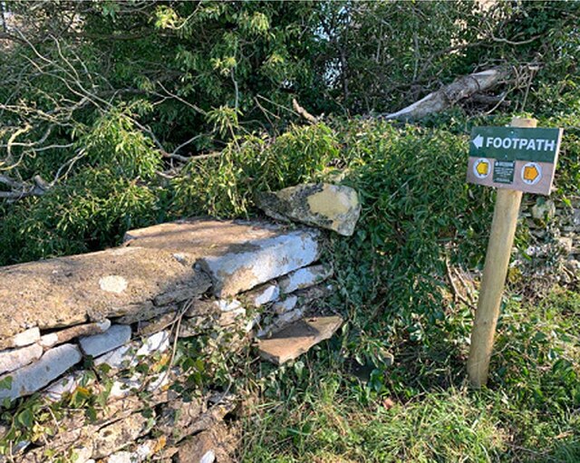
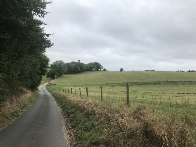
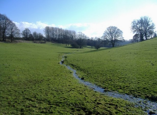
Ashcroft Wood offers a network of well-maintained trails for visitors to explore. These paths meander through the forest, offering stunning views of the surrounding landscape and allowing visitors to fully immerse themselves in the natural beauty of the area. The forest is also home to a small stream, adding to its charm and providing a pleasant spot for wildlife observation.

Throughout the year, Ashcroft Wood hosts various events and activities, including guided nature walks, educational workshops, and wildlife photography sessions. These events aim to engage visitors with the natural environment and raise awareness about the importance of conservation.

With its tranquil ambiance, diverse wildlife, and beautiful scenery, Ashcroft Wood is a popular destination for locals and tourists alike. Whether you are seeking a peaceful retreat, a chance to reconnect with nature, or an opportunity to learn about the local ecosystem, Ashcroft Wood has something to offer for everyone.

If you have any feedback on the listing, please let us know in the comments section below.

Ashcroft Wood Images

Images are sourced within 2km of 51.650934/-2.2925437 or Grid Reference ST7994. Thanks to Geograph Open Source API. All images are credited.

Stone Stile, Ozleworth Park To the left of the main gates to the Old Rectory, on Gloucestershire footpath NOZ2 (listed as a Bridleway). Off Blacksmiths Hill.
Stone Stile, Ozleworth Park
To the left of the main gates to the Old Rectory, on Gloucestershire footpath NOZ2 (listed as a Bridleway). Off Blacksmiths Hill.
Stone Stile, Newington Bagpath GS2069 Near St Bartholomew's Church on Gloucestershire footpath NKS39.
Stone Stile, Newington Bagpath GS2069
Near St Bartholomew's Church on Gloucestershire footpath NKS39.
Stone Stile, Bagpath Off a dead-end road connecting with Scrubbett's Lane. Opposite Brook House, on Gloucestershire footpath NKS30, looking SE to a field.
Stone Stile, Bagpath
Off a dead-end road connecting with Scrubbett's Lane. Opposite Brook House, on Gloucestershire footpath NKS30, looking SE to a field.
Stone Stile, Bagpath On Gloucestershire footpaths NKS26 & NKS27, 65 metres SE from Ashcroft Rd, at its nearest point.
Stone Stile, Bagpath
On Gloucestershire footpaths NKS26 & NKS27, 65 metres SE from Ashcroft Rd, at its nearest point.
Country Lane
Country Lane
Newington Bagpath (Glos) St Bartholomew's Church The sad semi-derelict church, sold by the Gloucester diocese and still awaiting conversion by its new owners at the point of submission of this picture, which dates from 2002
Newington Bagpath (Glos) St Bartholomew's Church
The sad semi-derelict church, sold by the Gloucester diocese and still awaiting conversion by its new owners at the point of submission of this picture, which dates from 2002
Ozleworth (Glos) St Nicholas of Myra's Church Difficult to find but a delightful walk to this church vested in the Churches Conservation Trust
Ozleworth (Glos) St Nicholas of Myra's Church
Difficult to find but a delightful walk to this church vested in the Churches Conservation Trust
St Nicholas of Myra, Ozleworth
Newark Park Originally a 16th century hunting lodge but remodelled in the 18th century. in the care of the National Trust
Newark Park
Originally a 16th century hunting lodge but remodelled in the 18th century. in the care of the National Trust
Tyley Bottom, nr Wotton-under-Edge Looking west across one of the many deep coombes that cut far into this part of the Cotswold scarp, to Golden Knoll Wood.
Tyley Bottom, nr Wotton-under-Edge
Looking west across one of the many deep coombes that cut far into this part of the Cotswold scarp, to Golden Knoll Wood.
Lines of maize
Lines of maize
Choices To the left lies the lane to Ozleworth Bottom, to the right the lane to Newark Park.  In the middle is Goose Green radio station mast.
Choices
To the left lies the lane to Ozleworth Bottom, to the right the lane to Newark Park. In the middle is Goose Green radio station mast.
Newington Bagpath Newington Bagpath is no more than a few houses in a valley with an abandoned and disused church above.
Newington Bagpath
Newington Bagpath is no more than a few houses in a valley with an abandoned and disused church above.
Hay Bottom A tiny brook meanders through idyllic pastureland.
Hay Bottom
A tiny brook meanders through idyllic pastureland.
Wooded margin A deciduous wood, occupies a small valley, to the right of this hill-top field.
Wooded margin
A deciduous wood, occupies a small valley, to the right of this hill-top field.
Ozleworth Bottom A group of dwellings occupy a lovely spot near the head of this secluded valley.
Ozleworth Bottom
A group of dwellings occupy a lovely spot near the head of this secluded valley.
Scrubbett's farm A range of farm buildings, east of Scrubbett's Lane.
Scrubbett's farm
A range of farm buildings, east of Scrubbett's Lane.
Scrubbett's Situated at the end of Scubbett's Lane.
Scrubbett's
Situated at the end of Scubbett's Lane.
Show me another place!

Ashcroft Wood is located at Grid Ref: ST7994 (Lat: 51.650934, Lng: -2.2925437)

Administrative County: Gloucestershire

District: Cotswold

Police Authority: Gloucestershire

What 3 Words

///should.camper.grin. Near Wotton-under-Edge, Gloucestershire

Nearby Locations

Ashcroft Wood Breach Wood

Related Wikis

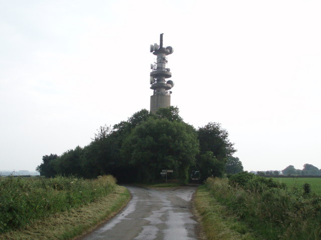
Wotton-under-Edge BT Tower

Wotton-under-Edge Tower is a 76.2 metres ( 250 ft) tall telecommunication tower built of reinforced concrete at Wotton-under-Edge in Gloucestershire, UK...

Bagpath

Bagpath is a hamlet in Gloucestershire, England, in the Ozleworth valley south of the village of Kingscote and forming part of Kingscote civil parish....

Ozleworth

Ozleworth is a village and civil parish in Gloucestershire, England, approximately 30 km (19 mi) south of Gloucester. It lies in the Cotswolds, an Area...

St Nicholas of Myra's Church, Ozleworth

St Nicholas of Myra's Church is a redundant Anglican church in the village of Ozleworth, Gloucestershire, England, in the care of The Churches Conservation...

A4135 road

The A4135 road is a road in Gloucestershire, England, connecting the town of Tetbury with the M5 motorway and the A38 road to the west, passing through...

Kingscote Park, Gloucestershire

Kingscote Park (formerly Kingscote Cottage) is a Grade II listed house and country estate in Kingscote, near Tetbury, Gloucestershire, England. The original...

Lasborough Park

Lasborough Park (or Lasborough House) is a Grade II listed country house in Newington Bagpath/Lasborough, Tetbury, Gloucestershire, England. The estate...

Lasborough

Lasborough is a settlement in Gloucestershire, England, part of the Westonbirt with Lasborough civil parish. Lasborough lies to the west of the A46, about...

Nearby Amenities

Located within 500m of 51.650934,-2.2925437
Ele: 235
Natural: peak
Lat/Long: 51.6538857/-2.2974646
Power: pole
Lat/Long: 51.6520895/-2.2918131
Power: pole
Lat/Long: 51.651669/-2.292987
Power: pole
Lat/Long: 51.6512646/-2.2941671
Power: pole
Lat/Long: 51.6509301/-2.2952186
Power: pole
Lat/Long: 51.6506098/-2.2962365
Power: pole
Lat/Long: 51.6502087/-2.2974904
Power: pole
Lat/Long: 51.649816/-2.2986974
Power: pole
Lat/Long: 51.6525481/-2.2875245
Power: pole
Lat/Long: 51.6522671/-2.2884901
Power: pole
Lat/Long: 51.6519182/-2.2896738
Power: pole
Lat/Long: 51.6515496/-2.2909499
Barrier: stile
Stile: stepover
Lat/Long: 51.6530489/-2.2870686
Ford: yes
Lat/Long: 51.6486971/-2.2870224
The Lavender Garden
Contact Phone: 01453 860356
Contact Website: http://www.thelavenderg.co.uk/
Craft: gardener
Opening Hours: Sa-Su, PH 11:00-16:00; Mo-Fr "variable"
Shop: garden_centre
Lat/Long: 51.6527599/-2.2915426
The data included in this document is from www.openstreetmap.org. The data is made available under ODbL.

Have you been to Ashcroft Wood?

Leave your review of Ashcroft Wood below (or comments, questions and feedback).