Ardington

Settlement in Berkshire Vale of White Horse

England

Ardington

Appletons, off Elder Way The same place as my picture <a href="https://www.geograph.org.uk/photo/6141178">SU4188 : Building Site east of Wantage</a> from two years ago.
Quite a difference. The streets have names and there are people living here.
And the useful hedge is still there.
Appletons, off Elder Way Credit: Des Blenkinsopp

Ardington is a quaint village located in the county of Berkshire, England. Situated approximately 3 miles east of Wantage and 15 miles south-west of Oxford, it is nestled in the picturesque Vale of White Horse. The village is known for its rural charm and historical significance.

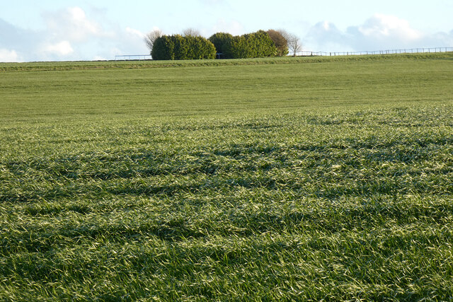
With a population of around 400 residents, Ardington exudes a peaceful and idyllic atmosphere. The village is surrounded by lush green fields, rolling hills, and beautiful countryside, making it a haven for nature lovers and outdoor enthusiasts. The nearby Ardington House, an elegant Georgian mansion, adds to the village's charm and rich heritage.

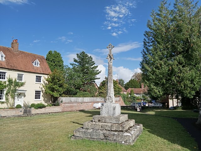
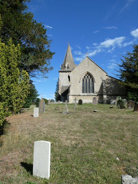
Ardington boasts a rich history dating back to the medieval era. Its name is derived from the Old English words "Eardingtun" or "Artingtun," meaning "the farmstead of the people of Earda." The village is mentioned in the Domesday Book of 1086 and has several listed buildings, including the Church of St. Mary, which dates back to the 12th century.

Despite its small size, Ardington offers a sense of community and a range of amenities. The village has a primary school, a village hall, and a charming pub called The Boars Head, which serves as a social hub for locals and visitors alike. The surrounding area provides ample opportunities for walking, cycling, and exploring the tranquil Oxfordshire countryside.

In summary, Ardington is a small but charming village in Berkshire, England. With its stunning rural setting, rich history, and friendly community, it is a delightful destination for those seeking a peaceful retreat or a taste of traditional English village life.

If you have any feedback on the listing, please let us know in the comments section below.
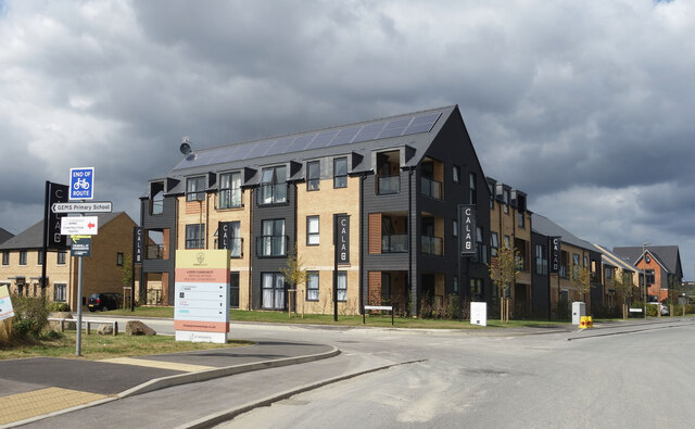
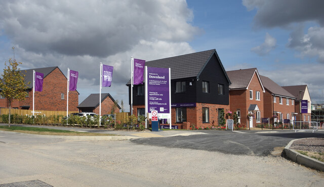
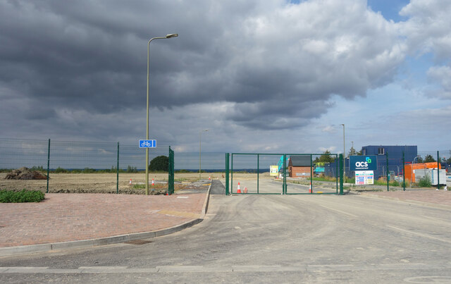
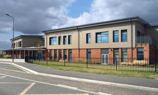
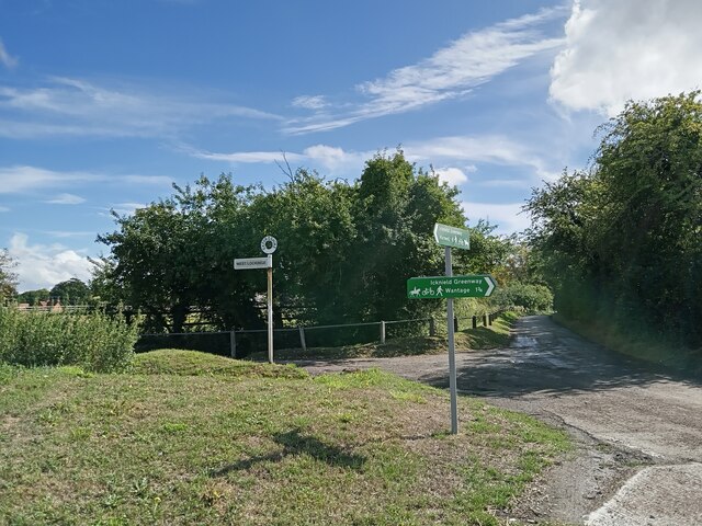
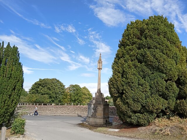
Ardington Images

Images are sourced within 2km of 51.592315/-1.378699 or Grid Reference SU4388. Thanks to Geograph Open Source API. All images are credited.

Appletons, off Elder Way The same place as my picture <a href="https://www.geograph.org.uk/photo/6141178">SU4188 : Building Site east of Wantage</a> from two years ago.
Quite a difference. The streets have names and there are people living here.
And the useful hedge is still there.
Appletons, off Elder Way
The same place as my picture SU4188 : Building Site east of Wantage from two years ago. Quite a difference. The streets have names and there are people living here. And the useful hedge is still there.
Corner of Primrose Avenue Part of a large new housing development to the east of Wantage.
What the board on the corner refers to as "A new community nestled within rolling countryside."
Well....whatever....
Corner of Primrose Avenue
Part of a large new housing development to the east of Wantage. What the board on the corner refers to as "A new community nestled within rolling countryside." Well....whatever....
Welcome to Downland More of the large new housing development to the east of Wantage.
Welcome to Downland
More of the large new housing development to the east of Wantage.
New Bus Terminus, Kingsgrove Where one day soon people will wait for the bus.
Just now it's the buses that are waiting for the people. The shelter and turnaround have been completed but there aren't any houses yet.
New Bus Terminus, Kingsgrove
Where one day soon people will wait for the bus. Just now it's the buses that are waiting for the people. The shelter and turnaround have been completed but there aren't any houses yet.
Last look at the Trees Not long until this is all houses.
Part of a large new housing site to the east of Wantage.
Last look at the Trees
Not long until this is all houses. Part of a large new housing site to the east of Wantage.
The Edge of the Building Site For the moment this looks like one of the last plots to be built on at the northern side of a large new housing site east of Wantage.
The Edge of the Building Site
For the moment this looks like one of the last plots to be built on at the northern side of a large new housing site east of Wantage.
Wantage Primary Academy Would that be what we used to call a school?
Part of a large new development on the east side of Wantage.
Wantage Primary Academy
Would that be what we used to call a school? Part of a large new development on the east side of Wantage.
Bridleway heading to Ardington Bridleway between the fields heading to Ardington
Bridleway heading to Ardington
Bridleway between the fields heading to Ardington
Bridleway to Ardington Bridleway to Ardington nearing the byway to head on past the tree covered Roundabout Hill
Bridleway to Ardington
Bridleway to Ardington nearing the byway to head on past the tree covered Roundabout Hill
Ginge Brook Ginge Brook with a major construction of a bridge (compared to the John Walton 2013 image) carrying the Icknield Greenway Byway
Ginge Brook
Ginge Brook with a major construction of a bridge (compared to the John Walton 2013 image) carrying the Icknield Greenway Byway
The road to West Lockinge
Walking the dog at East Lockinge
Traffic jam in West Hendred
Holy Trinity church, Ardington: churchyard (a)
Holy Trinity church, Ardington: churchyard (b) The CWGC grave nearest to me is Private James Alder <span class="nowrap"><a title="https://www.cwgc.org/find-records/find-war-dead/casualty-details/649152/james-alder/" rel="nofollow ugc noopener" href="https://www.cwgc.org/find-records/find-war-dead/casualty-details/649152/james-alder/">Link</a><img style="margin-left:2px;" alt="External link" title="External link - shift click to open in new window" src="https://s1.geograph.org.uk/img/external.png" width="10" height="10"/></span> and the one further up that of Private Hector Cooper <span class="nowrap"><a title="https://www.cwgc.org/find-records/find-war-dead/casualty-details/649153/hector-ernest-cooper/" rel="nofollow ugc noopener" href="https://www.cwgc.org/find-records/find-war-dead/casualty-details/649153/hector-ernest-cooper/">Link</a><img style="margin-left:2px;" alt="External link" title="External link - shift click to open in new window" src="https://s1.geograph.org.uk/img/external.png" width="10" height="10"/></span>
Holy Trinity church, Ardington: churchyard (b)
The CWGC grave nearest to me is Private James Alder LinkExternal link and the one further up that of Private Hector Cooper LinkExternal link
Farmland, Lockinge Looking like a silage crop on the hillside rising from the byway to Wantage.
Farmland, Lockinge
Looking like a silage crop on the hillside rising from the byway to Wantage.
Farmland, Ardington With the footpath climbing to Field Barn Farm.
Farmland, Ardington
With the footpath climbing to Field Barn Farm.
Farmland, Ardington The bridleway at Ardington Wick disappears between hedges.
Farmland, Ardington
The bridleway at Ardington Wick disappears between hedges.
Show me another place!

Ardington is located at Grid Ref: SU4388 (Lat: 51.592315, Lng: -1.378699)

Administrative County: Oxfordshire

District: Vale of White Horse

Police Authority: Thames Valley

What 3 Words

///wicked.ideas.cuddling. Near Wantage, Oxfordshire

Related Wikis

Ardington

Ardington is a village and civil parish about 2 miles (3 km) east of Wantage in the Vale of White Horse. It was part of Berkshire until the 1974 boundary...

Ardington and Lockinge

Ardington and Lockinge are two civil parishes in the Vale of White Horse district, centred about 2 miles (3 km) east of Wantage, Oxfordshire, that share...

Lockinge Estate

The Lockinge Estate is a 3,035-hectare (7,500-acre) agricultural and housing estate near Wantage that today includes most of the land and property encompassing...

West Hendred

West Hendred is a village and civil parish about 3 miles (5 km) east of Wantage. It was part of Berkshire until the 1974 boundary changes transferred it...

West Lockinge

West Lockinge is a village in and former civil parish, now in the parish of Lockinge, in the Vale of White Horse district, in the county of Oxfordshire...

East Lockinge

East Lockinge is a village and former civil parish, now in the parish of Lockinge, in the Vale of White Horse district, in the county of Oxfordshire, England...

Ardington Wick

Ardington Wick is a hamlet in the civil parish of Ardington in the Vale of White Horse, England. It was part of Berkshire until the 1974 local government...

West Ginge

West Ginge is a hamlet within the civil parish of Ardington in the English county of Oxfordshire (formerly Berkshire), 3.9 miles (6.3 km) by road to the...

Nearby Amenities

Located within 500m of 51.592315,-1.378699
Ardington
Place: village
Wikidata: Q2680530
Lat/Long: 51.59287/-1.3777753
Bus Stop
Church Street
Bus: yes
Naptan AtcoCode: 340000051OUT
Naptan Bearing: E
Naptan BusStopType: CUS
Naptan CommonName: Church Street
Naptan Indicator: Opposite
Naptan Landmark: Opp Bus Shelter
Naptan NaptanCode: oxfamdmt
Naptan Street: School Road
Naptan Verified: no
Public Transport: platform
Source: naptan_import
Lat/Long: 51.5933784/-1.376272
Bus Stop
Church Street
Naptan AtcoCode: 340000051SHE
Naptan Bearing: W
Naptan CommonName: Church Street
Naptan Indicator: Corner
Naptan Landmark: Bus Shelter
Naptan NaptanCode: oxfamdmp
Naptan Street: School Road
Naptan Verified: no
Source: naptan_import
Lat/Long: 51.5933157/-1.3763161
Turning Circle
Lat/Long: 51.5917342/-1.3837076
Cafe
The Grocer Chef
Addr Postcode: OX12 8PS
Addr Street: High Street
Addr Village: Ardington
Shop: convenience
Website: https://www.thegrocerchef.com/
Lat/Long: 51.593471/-1.3768575
Power: pole
Source: Bing
Lat/Long: 51.592559/-1.3725292
Power: pole
Source: Bing
Lat/Long: 51.5925058/-1.3736611
Power: pole
Source: Bing
Lat/Long: 51.5902933/-1.3812606
Power: pole
Source: Bing
Lat/Long: 51.5886694/-1.3814351
Power: pole
Source: Bing
Lat/Long: 51.5883991/-1.379768
Power: pole
Source: Bing
Lat/Long: 51.5881745/-1.3809902
Power: pole
Source: Bing
Lat/Long: 51.589225/-1.3813767
Power: pole
Source: Bing
Lat/Long: 51.5897647/-1.3813155
Power: pole
Source: Bing
Lat/Long: 51.5916658/-1.3813188
Turning Circle
Lat/Long: 51.5917819/-1.3762811
Sugar & Spice
Addr Housename: The Old Bakehouse
Addr Postcode: OX12 8PS
Addr Street: Bakers Yard
Addr Village: Ardington
Shop: bakery
Lat/Long: 51.5936869/-1.3768445
Type: destination_sign
Lat/Long: 51.5926982/-1.3789843
Bakers Yard
Shop: mall
Lat/Long: 51.5937206/-1.3767262
Historic: memorial
Memorial: war_memorial
Lat/Long: 51.592753/-1.3787374
Bench
Lat/Long: 51.59268/-1.3787649
Southgate Consulting
Addr Postcode: OX12 8PT
Addr Street: Bakers Yard
Addr Village: Ardington
Shop: yes
Lat/Long: 51.5938205/-1.3768344
Oxford Spires Scaffolding Limited
Addr Postcode: OX12 8PT
Shop: yes
Lat/Long: 51.593797/-1.3767373
Ardington House
Historic: manor
Lat/Long: 51.5916481/-1.3763931
Sheephouse Farm
Place: farm
Lat/Long: 51.588513/-1.3752756
Home Farm
Place: farm
Lat/Long: 51.590966/-1.382936
Townend
Place: locality
Lat/Long: 51.5931162/-1.3743965
New Cottages
Place: isolated_dwelling
Lat/Long: 51.5932453/-1.373021
Westfield House
Place: locality
Lat/Long: 51.5939455/-1.3808374
Orpwood House
Place: locality
Lat/Long: 51.5927609/-1.3813524
The data included in this document is from www.openstreetmap.org. The data is made available under ODbL.

Have you been to Ardington?

Leave your review of Ardington below (or comments, questions and feedback).