Raizes Plantation
Wood, Forest in Gloucestershire
England
Raizes Plantation
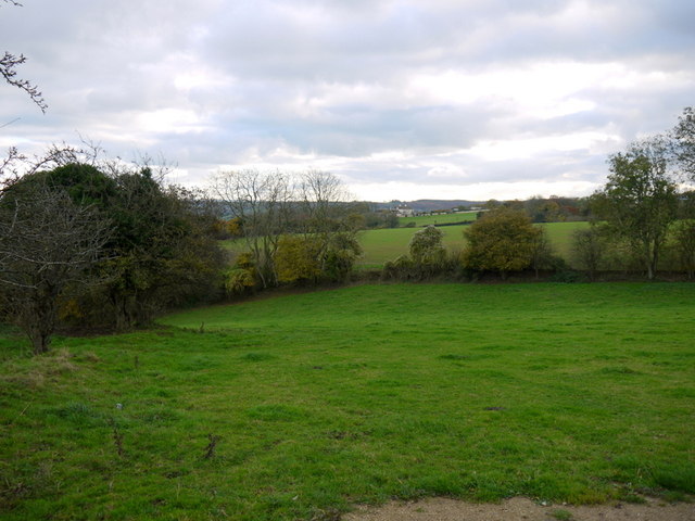
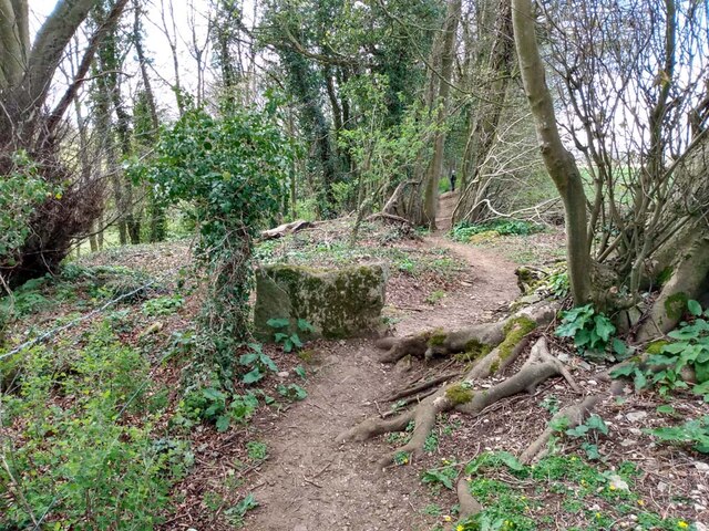
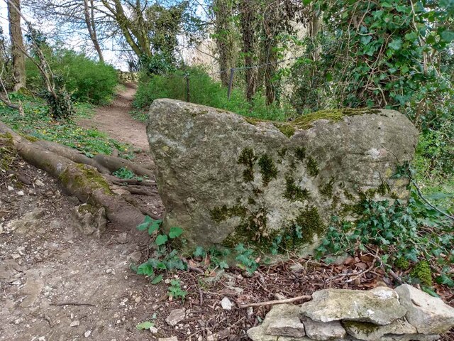
Raizes Plantation, located in Gloucestershire, England, is a picturesque woodland and forest area renowned for its natural beauty and diverse ecosystem. Covering an expansive area of approximately 500 acres, the plantation offers visitors a tranquil escape into nature.
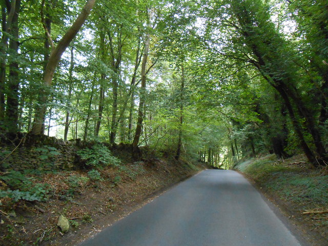
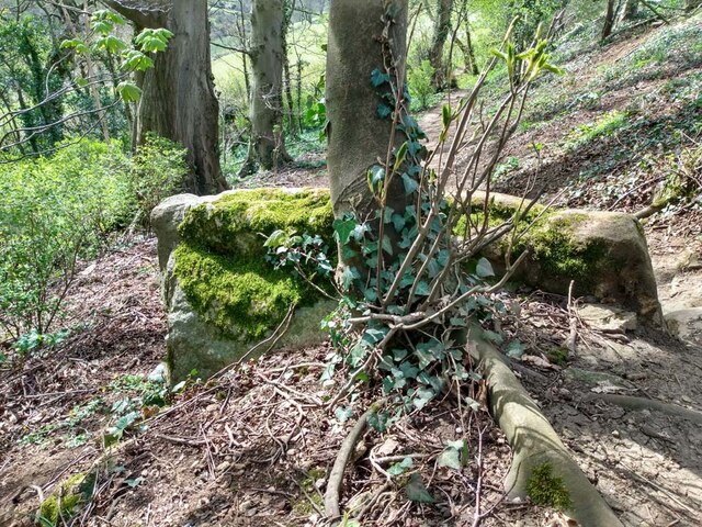
The woodland is predominantly composed of mixed deciduous and coniferous trees, creating a rich tapestry of colors throughout the seasons. Ancient oak, beech, and ash trees tower over the landscape, providing a habitat for a variety of wildlife species. The forest floor is adorned with a vibrant carpet of wildflowers, ferns, and mosses, adding to the enchanting atmosphere.
Raizes Plantation is a haven for birdwatchers and nature enthusiasts alike, as it hosts a wide range of avian species. Visitors can spot woodpeckers, owls, buzzards, and various songbirds flitting among the treetops. The plantation also provides a sanctuary for mammals such as deer, foxes, and squirrels, which can be observed in their natural habitats.
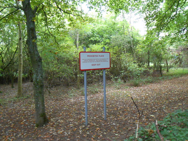
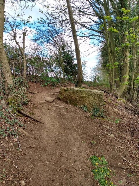
The plantation offers several well-maintained walking trails that wind through the woodland, allowing visitors to explore its beauty at their own pace. These trails vary in length and difficulty, catering to all levels of fitness and interest. Along the way, informative signposts highlight the plantation's flora and fauna, providing an educational experience.
Raizes Plantation is not only a haven for nature lovers but also a valuable resource for ecological research and conservation efforts. The plantation's management actively promotes sustainable practices, ensuring the preservation of its unique ecosystem for future generations to enjoy.
If you have any feedback on the listing, please let us know in the comments section below.
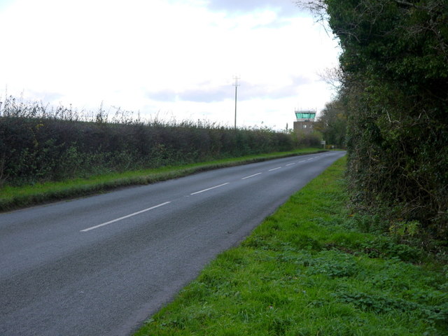
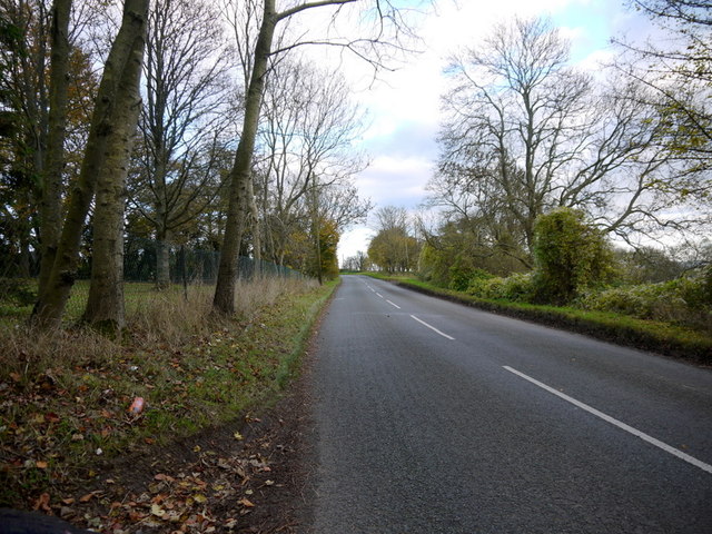
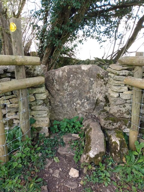
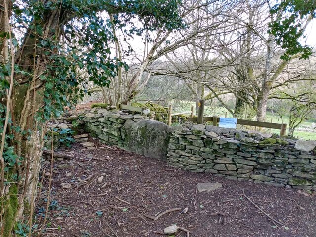
Raizes Plantation Images
Images are sourced within 2km of 51.447658/-2.2991129 or Grid Reference ST7972. Thanks to Geograph Open Source API. All images are credited.


Raizes Plantation is located at Grid Ref: ST7972 (Lat: 51.447658, Lng: -2.2991129)
Unitary Authority: South Gloucestershire
Police Authority: Avon and Somerset
What 3 Words
///rinses.pizzeria.itself. Near Marshfield, Gloucestershire
Nearby Locations
Related Wikis
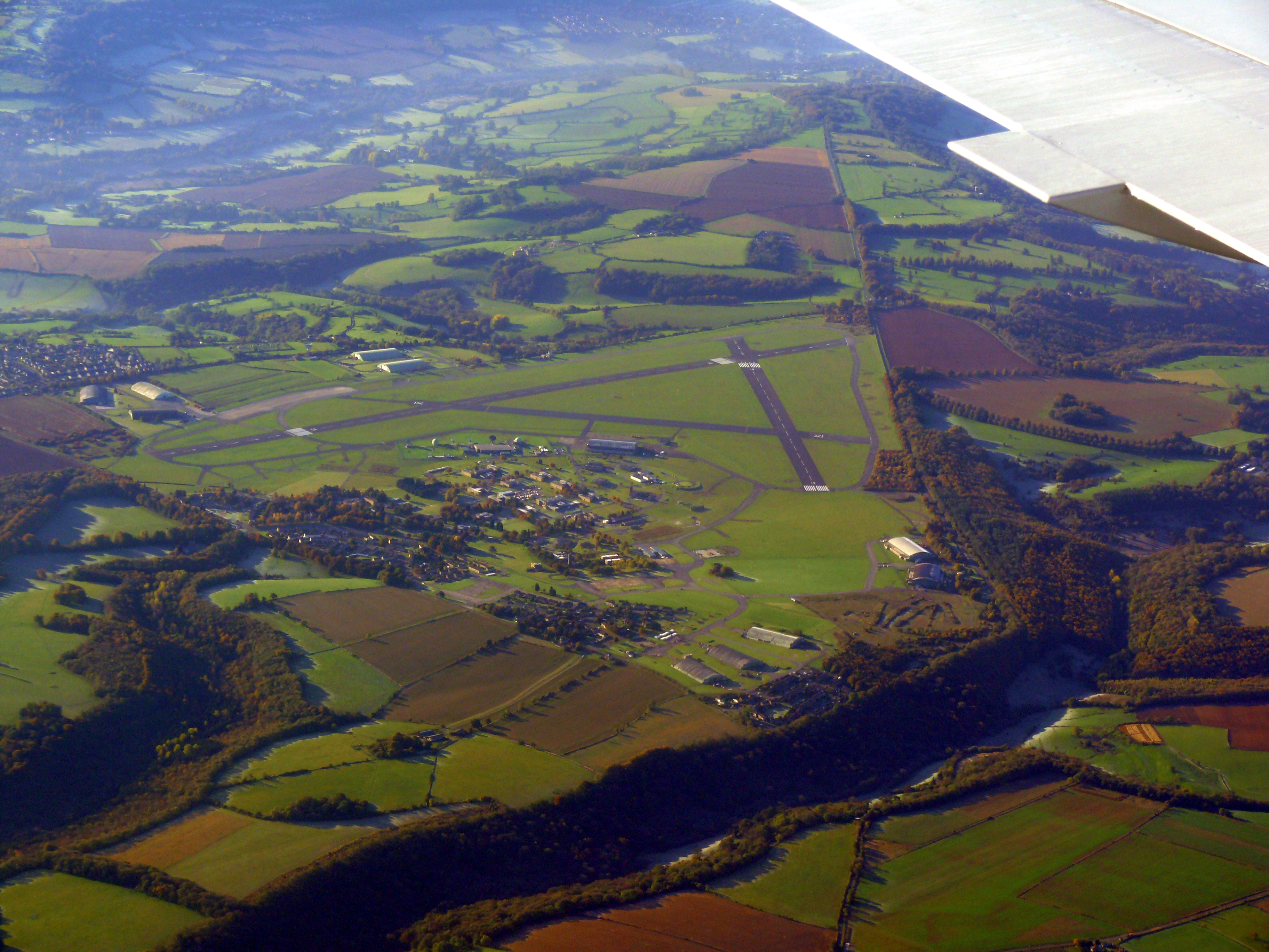
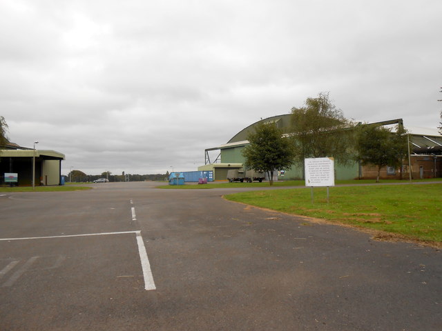
Colerne Airfield
Colerne Airfield (ICAO: EGUO), now known as Azimghur Barracks, is a British Army facility just north-west of the village of Colerne, Wiltshire, England...
RAF Colerne
Royal Air Force Colerne or more simply RAF Colerne is a former Royal Air Force station which was on the outskirts of the village of Colerne in Wiltshire...

Marshfield, Gloucestershire
Marshfield is a town in the local government area of South Gloucestershire, England, on the borders of the counties of Wiltshire and Somerset. Toponymy...
St Catherine, Somerset
St Catherine is a small, but very spread out, rural village within the civil parish of Batheaston in Bath and North East Somerset and Marshfield Parish...
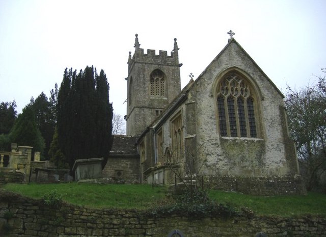
Church of St Catherine, St Catherine
The Church of St Catherine is an Anglican parish church in St Catherine, Somerset, England. It was built in the 12th century as a chapel of ease of Bath...
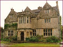
St Catherine's Court
St Catherine's Court is a manor house in a secluded valley north of Bath, Somerset, England. It is a Grade I listed property. The gardens are Grade II...
The Shoe
The Shoe is a hamlet in the parish of North Wraxall, in the north-west of Wiltshire in England. It lies at the junction of the Fosse Way (the old Roman...

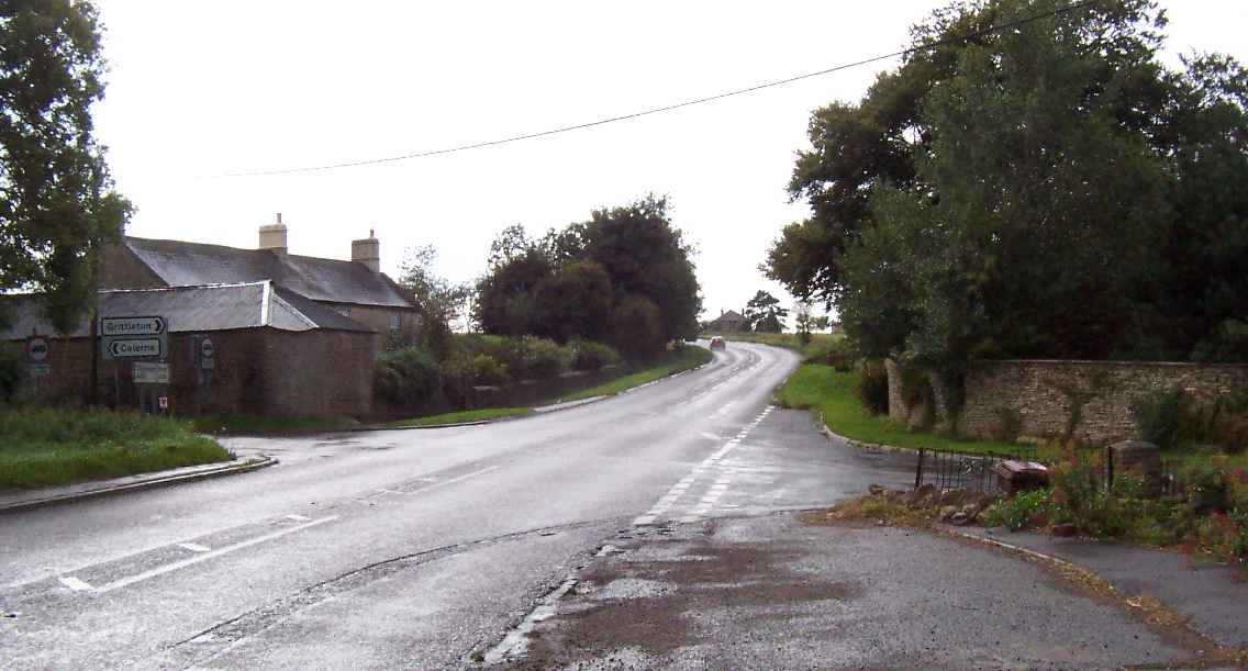
Colerne
Colerne is a village and civil parish in north Wiltshire, England. The village is about 3.5 miles (6 km) west of the town of Corsham and 7 miles (11 km...
Nearby Amenities
Located within 500m of 51.447658,-2.2991129Have you been to Raizes Plantation?
Leave your review of Raizes Plantation below (or comments, questions and feedback).