Langdale Wood
Wood, Forest in Worcestershire Malvern Hills
England
Langdale Wood

Langdale Wood is a picturesque woodland located in Worcestershire, England. Covering an area of approximately 50 hectares, it is a stunning example of a mixed deciduous forest. The wood is situated near the village of Bewdley, with the River Severn flowing nearby.
Langdale Wood boasts a diverse range of tree species, including oak, ash, birch, and beech. These majestic trees create a dense canopy, offering shelter and a habitat for a variety of wildlife. The forest floor is adorned with a carpet of bluebells in the spring, creating a vibrant and enchanting atmosphere.
The wood is crisscrossed by a network of well-maintained footpaths, allowing visitors to explore and immerse themselves in the natural beauty of the surroundings. These paths lead to secluded clearings, perfect for picnics or simply enjoying the peace and tranquility of the woodland.
The forest is also home to an abundance of wildlife. Keen-eyed visitors may catch a glimpse of deer, squirrels, and various bird species, including woodpeckers and owls. The wood is a popular spot for birdwatchers, as it provides a habitat for both resident and migratory species.
Langdale Wood offers a range of recreational activities for visitors. It is a favorite destination for nature lovers, hikers, and photographers, who are captivated by its scenic beauty. The wood is managed by the Worcestershire Wildlife Trust, ensuring its preservation and continued enjoyment for generations to come.
If you have any feedback on the listing, please let us know in the comments section below.
Langdale Wood Images
Images are sourced within 2km of 52.084197/-2.3068704 or Grid Reference SO7942. Thanks to Geograph Open Source API. All images are credited.


Langdale Wood is located at Grid Ref: SO7942 (Lat: 52.084197, Lng: -2.3068704)
Administrative County: Worcestershire
District: Malvern Hills
Police Authority: West Mercia
What 3 Words
///logic.hills.recent. Near Great Malvern, Worcestershire
Nearby Locations
Related Wikis
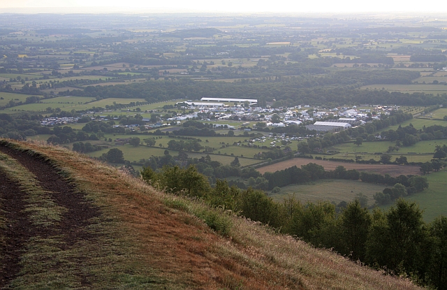
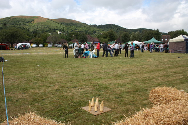
Three Counties Showground
The Three Counties Showground is a showground site in Malvern, Worcestershire, England, covering 90 acres (36 ha) owned by the Three Counties Agricultural...
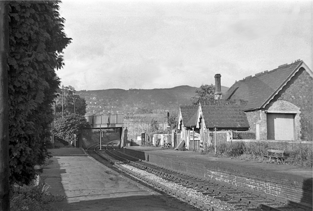
Malvern Hanley Road railway station
Malvern Hanley Road railway station was a Midland Railway (MR) station on the Malvern, Tewkesbury and Ashchurch line. The station was opened as Malvern...

Malvern Wells railway station
Malvern Wells railway station was a station on the Worcester and Hereford section of the Great Western Railway at Lower Wyche, between Great Malvern and...
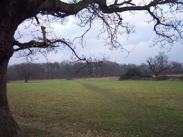
St Wulstan's Local Nature Reserve
St Wulstan's Local Nature Reserve is a local nature reserve near Malvern, Worcestershire, England. The site was formerly the location of St Wulstan's Hospital...
Nearby Amenities
Located within 500m of 52.084197,-2.3068704Have you been to Langdale Wood?
Leave your review of Langdale Wood below (or comments, questions and feedback).