Glove Wood
Wood, Forest in Worcestershire Wyre Forest
England
Glove Wood
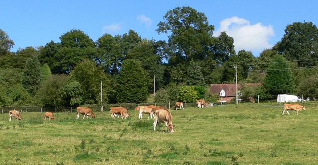
Glove Wood is a picturesque woodland located in Worcestershire, England. Situated in the heart of the county, this dense forest covers an area of approximately 100 acres. The wood is known for its rich biodiversity and stunning natural beauty, making it a popular destination for nature enthusiasts and hikers alike.
The woodland is characterized by its diverse range of tree species, including oak, ash, birch, and beech. These towering trees provide a dense canopy, creating a cool and tranquil atmosphere within the wood. The forest floor is covered in a thick carpet of moss and ferns, adding to its enchanting appeal.
Glove Wood is home to a wide variety of wildlife. Birdwatchers can spot numerous species, such as woodpeckers, owls, and warblers, while small mammals like squirrels and rabbits can be seen darting through the undergrowth. The wood is also known for its abundant insect population, including butterflies and dragonflies.
For those seeking outdoor activities, Glove Wood offers a network of well-maintained trails and paths, allowing visitors to explore its beauty easily. The wood is a great place for leisurely walks, family picnics, or even camping trips. During the autumn months, the woodland transforms into a spectacular display of vibrant colors as the leaves change, attracting photographers and nature enthusiasts from afar.
Glove Wood is a true gem of Worcestershire, offering a peaceful retreat from the hustle and bustle of everyday life. Its natural beauty, diverse flora and fauna, and recreational opportunities make it a must-visit destination for anyone seeking a connection with nature.
If you have any feedback on the listing, please let us know in the comments section below.
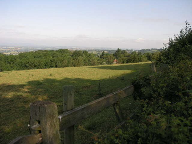
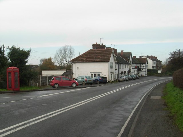
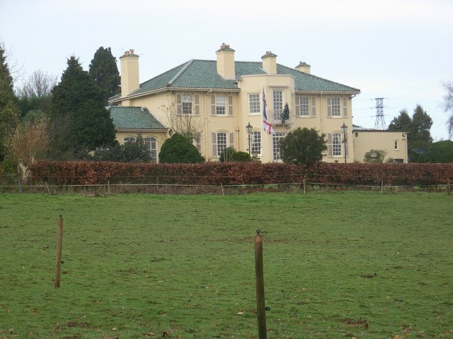
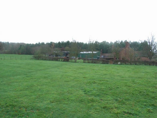
Glove Wood Images
Images are sourced within 2km of 52.419647/-2.3131365 or Grid Reference SO7880. Thanks to Geograph Open Source API. All images are credited.


Glove Wood is located at Grid Ref: SO7880 (Lat: 52.419647, Lng: -2.3131365)
Administrative County: Worcestershire
District: Wyre Forest
Police Authority: West Mercia
What 3 Words
///entrust.household.crescendo. Near Romsley, Shropshire
Nearby Locations
Related Wikis

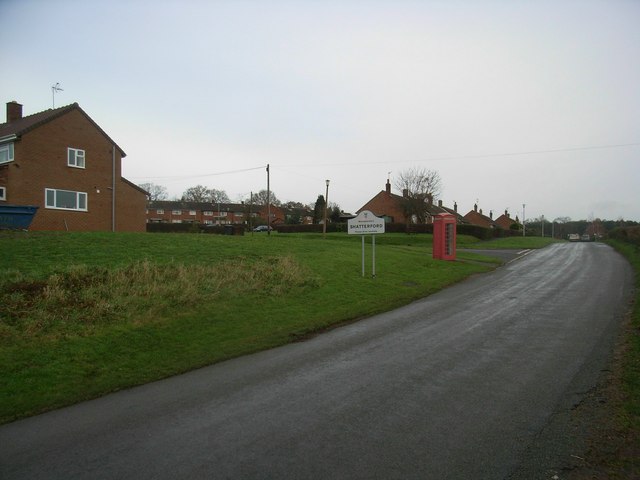
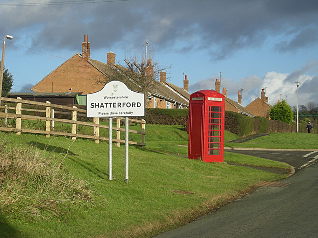
Shatterford
Shatterford is a village in the Wyre Forest District of Worcestershire, England, located north-west of Bewdley and lies less than a mile from the county...

Shatterford Hill
Shatterford Hill is an English geographical feature that extends from Bewdley in north Worcestershire to Birdsgreen near Alveley, just over the border...

Trimpley
Trimpley (grid reference SO793784) is a hamlet in the parish of Kidderminster Foreign. It lies on the ridge of Shatterford Hill, north of Wribbenhall...

Drakelow, Worcestershire
Drakelow is a hamlet in Worcestershire, England. It is one of the ancient townships of the manor of Wolverley, whose extent was similar to that of the...
Upper Arley
Upper Arley (grid reference SO765805) is a village and civil parish near Kidderminster in the Wyre Forest District of Worcestershire, England. Historically...

Arley House and Gardens
Arley House and Gardens are situated at Upper Arley, about 4 miles (6.4 km) north-west of Bewdley, in Worcestershire, England. The gardens, arboretum and...

Victoria Bridge, Worcestershire
The Victoria Bridge crosses the River Severn between Arley and Bewdley in Worcestershire, England. At the time of its construction, the 200-foot railway...

Arley railway station
Arley railway station is a station on the Severn Valley Railway heritage line in Worcestershire, situated just over the River Severn from the village of...
Nearby Amenities
Located within 500m of 52.419647,-2.3131365Have you been to Glove Wood?
Leave your review of Glove Wood below (or comments, questions and feedback).