Forest Becks

Wood, Forest in Yorkshire Ribble Valley

England

Forest Becks

Knotts Lane near Varley's Farm A very minor road running up the west side of the valley of Holden Beck.
Knotts Lane near Varley's Farm Credit: Oliver Dixon

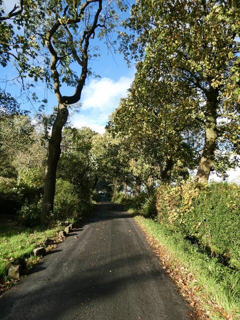
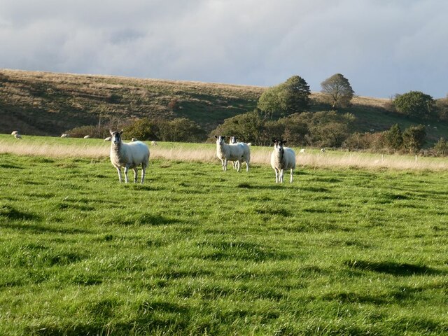
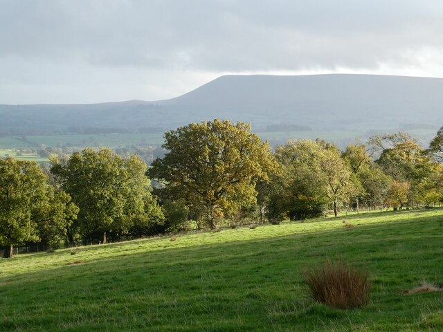
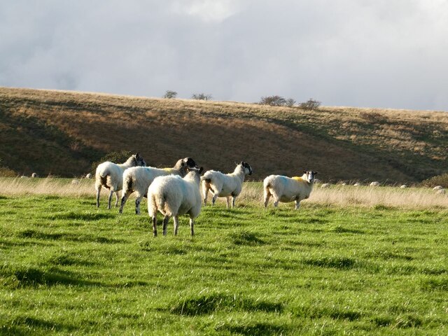
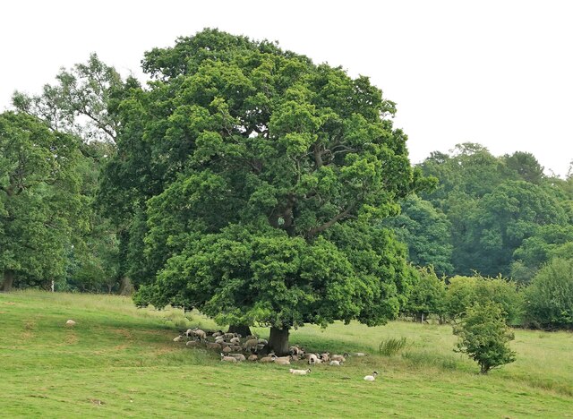
Forest Becks is a small village located in Yorkshire, England. Situated amidst picturesque woodlands and forests, it is known for its natural beauty and tranquil surroundings. The village is nestled in the heart of the Yorkshire Dales National Park, making it a popular destination for outdoor enthusiasts and nature lovers.

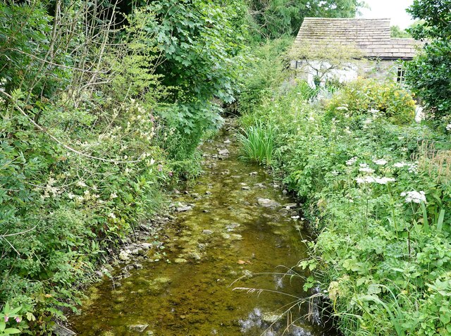
The name "Forest Becks" is derived from the abundance of becks, or small streams, that flow through the area's dense woodlands. These becks add to the village's charm and provide a serene atmosphere for visitors to enjoy.

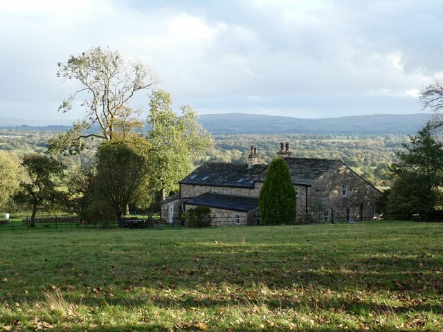
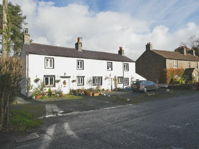
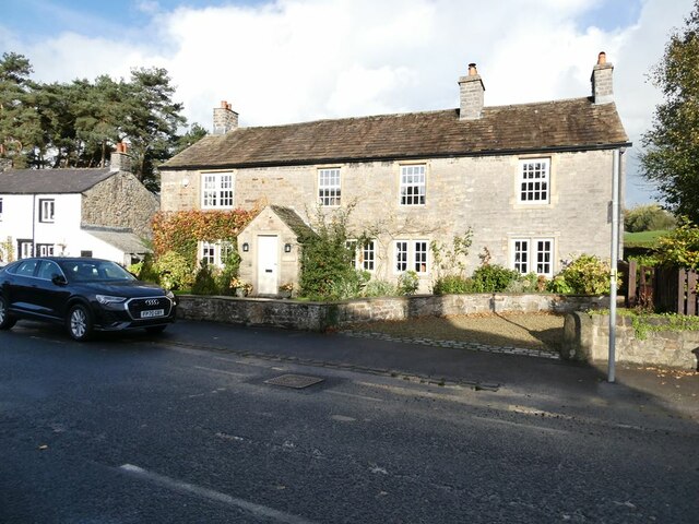
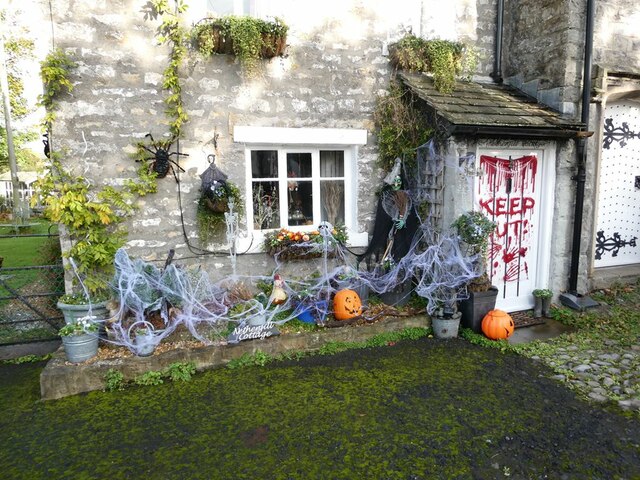
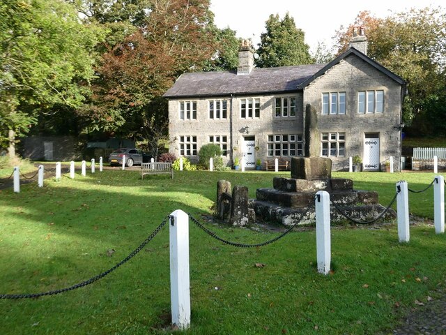
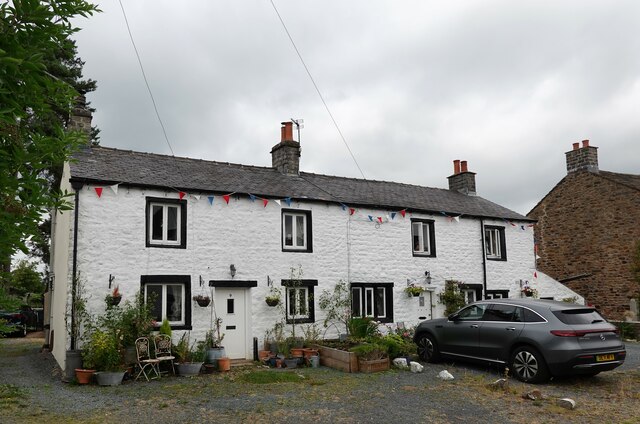
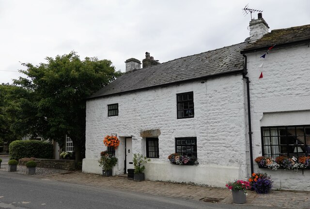
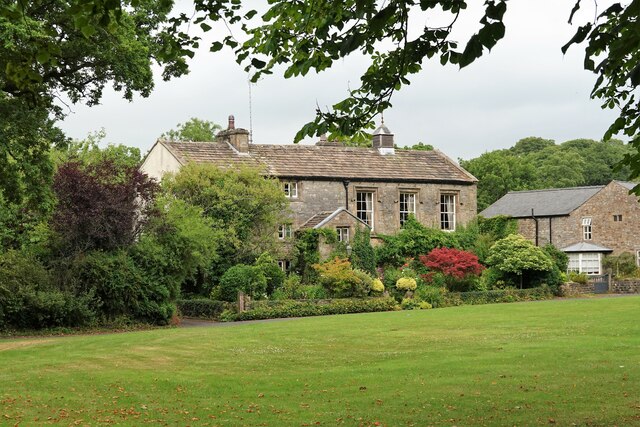
The village itself is characterized by its traditional stone houses and buildings, which give it a quaint and timeless feel. It is a close-knit community with a friendly and welcoming atmosphere. The residents take pride in their village and are known for their strong sense of community spirit.

For those seeking outdoor activities, Forest Becks offers a range of options. The surrounding woodlands and forests provide ample opportunities for hiking, cycling, and bird-watching. The village is also home to several walking trails, including the popular Forest Becks Loop, which takes visitors through the heart of the village and into the surrounding countryside.

In terms of amenities, Forest Becks has a small village shop where residents can buy essentials, as well as a cozy pub that serves traditional Yorkshire fare. While it may not have the bustling atmosphere of a larger town, Forest Becks is a haven for those looking to escape the hustle and bustle of city life and immerse themselves in the beauty of nature.

If you have any feedback on the listing, please let us know in the comments section below.

Forest Becks Images

Images are sourced within 2km of 53.956856/-2.32461 or Grid Reference SD7851. Thanks to Geograph Open Source API. All images are credited.

Knotts Lane near Varley's Farm A very minor road running up the west side of the valley of Holden Beck.
Knotts Lane near Varley's Farm
A very minor road running up the west side of the valley of Holden Beck.
Broad Ing Farm Commanding an extensive view over the valley of the Holden Beck.
Broad Ing Farm
Commanding an extensive view over the valley of the Holden Beck.
Sheep in field beside Knotts Lane Near Witton's Farm
Sheep in field beside Knotts Lane
Near Witton's Farm
View south from Knotts Lane Pendle Hill <a href="https://www.geograph.org.uk/gridref/SD7754">SD7754</a> dominates the skyline.
View south from Knotts Lane
Pendle Hill SD7754 dominates the skyline.
Wary sheep In a field beside Knotts Lane.
Wary sheep
In a field beside Knotts Lane.
A very effective road block A hay bale has been strategically placed across the top of this footpath to Wittons Farm to prevent access by motor vehicles.
A very effective road block
A hay bale has been strategically placed across the top of this footpath to Wittons Farm to prevent access by motor vehicles.
Wittons Farm Wittons Farm below the field. Ray Head Farm beyond and to the left.
Wittons Farm
Wittons Farm below the field. Ray Head Farm beyond and to the left.
View from Knotts Lane Looking across the broad valley of the Holden Beck.
View from Knotts Lane
Looking across the broad valley of the Holden Beck.
Terraced cottages in Bolton-by-Bowland
Cottage in Bolton-by-Bowland
Hallowe'en in Bolton-by-Bowland The Hallowe'en decorations seem to become more extreme year on year.
Hallowe'en in Bolton-by-Bowland
The Hallowe'en decorations seem to become more extreme year on year.
Village Green, Bolton-by-Bowland Grade II listed cross.
Village Green, Bolton-by-Bowland
Grade II listed cross.
Main Street, Bolton-by-Bowland Main Street is almost the only street in this pleasant village in the Forest of Bowland.
Main Street, Bolton-by-Bowland
Main Street is almost the only street in this pleasant village in the Forest of Bowland.
Cottages in Bolton-by-Bowland These cottages on Main Street are grade II listed.
Cottages in Bolton-by-Bowland
These cottages on Main Street are grade II listed.
White Cottage A grade II listed house on Main Street.
White Cottage
A grade II listed house on Main Street.
Kirk Beck The water level is low after a dry spell.
Kirk Beck
The water level is low after a dry spell.
Sheep in the shade On a warm day.
Sheep in the shade
On a warm day.
The Old Courthouse The building dates from 1859 (with some earlier remains) and is grade II listed.
The Old Courthouse
The building dates from 1859 (with some earlier remains) and is grade II listed.
Show me another place!

Forest Becks is located at Grid Ref: SD7851 (Lat: 53.956856, Lng: -2.32461)

Division: West Riding

Administrative County: Lancashire

District: Ribble Valley

Police Authority: Lancashire

What 3 Words

///horn.corrode.surnames. Near Chatburn, Lancashire

Related Wikis

Bolton-by-Bowland

Bolton-by-Bowland is a village and civil parish in the Ribble Valley district of Lancashire, England. Before 1974, the village was part of Bowland Rural...

St Peter and St Paul's Church, Bolton-by-Bowland

St Peter and St Paul's Church is in Gisburn Road, Bolton-by-Bowland, Lancashire, England. It is an active Anglican parish church in the deanery of Whalley...

Manor House, Gisburn Forest

Manor House is an historic building in Gisburn Forest, Lancashire, England. It was built in the early 18th century, but contains a section that is believed...

Skirden Beck

Skirden Beck is a minor river in Lancashire, England (historically in the West Riding of Yorkshire). It is approximately 4.3 miles (6.85 km) long and has...

Stock Beck

Stock Beck is a minor river in the West Craven area of Pendle, Lancashire (formerly in Yorkshire). It is 8.25 miles (13.27 km) long and has a catchment...

Gisburne Park

Gisburne Park is an 18th-century country house and associated park in Gisburn, Lancashire, England, in the Ribble Valley some 6 miles (10 km) north-east...

Paythorne

Paythorne is a small village and civil parish in Ribble Valley, Lancashire, England. It is situated alongside the River Ribble, north-east of Clitheroe...

Gisburn railway station

Gisburn railway station served the small village of Gisburn, which is now in Lancashire, England, but was in the West Riding of Yorkshire at the time....

Nearby Amenities

Located within 500m of 53.956856,-2.32461
Post Box
Post Box Type: lamp
Lat/Long: 53.9564975/-2.32952
Telephone
Booth: KX100
Covered: booth
Operator: BT
Lat/Long: 53.9570833/-2.3285477
New Ing wood
Natural: woodland
Source: OS OpenData StreetView
Lat/Long: 53.9525616/-2.3267184
Forest Becks
Place: neighbourhood
Source: bing;local knowledge
Lat/Long: 53.9579159/-2.3279971
Power: pole
Lat/Long: 53.9541095/-2.3302428
Power: pole
Lat/Long: 53.95486/-2.3300779
Power: pole
Lat/Long: 53.9555671/-2.3299049
Power: pole
Lat/Long: 53.9570877/-2.3321432
Power: pole
Lat/Long: 53.9569796/-2.3306116
Power: pole
Lat/Long: 53.9561084/-2.3297748
Power: pole
Lat/Long: 53.9569244/-2.3297761
Power: pole
Lat/Long: 53.9573055/-2.3296621
Power: pole
Lat/Long: 53.9581324/-2.3294234
Power: pole
Lat/Long: 53.9589357/-2.3292048
Power: pole
Lat/Long: 53.9596364/-2.3286751
Power: pole
Lat/Long: 53.9604081/-2.3280676
Power: pole
Lat/Long: 53.9609446/-2.3276639
The data included in this document is from www.openstreetmap.org. The data is made available under ODbL.

Have you been to Forest Becks?

Leave your review of Forest Becks below (or comments, questions and feedback).