Jackson's Coppice

Wood, Forest in Staffordshire Stafford

England

Jackson's Coppice

Entering the small Hamlet of Sugnall The sign is showing the Sugnall walled kitchen garden to the left, which is part of the Sugnall Hall Estate.  see<span class="nowrap"><a title="http://www.sugnall.co.uk/history.html" rel="nofollow ugc noopener" href="http://www.sugnall.co.uk/history.html">Link</a><img style="margin-left:2px;" alt="External link" title="External link - shift click to open in new window" src="https://s1.geograph.org.uk/img/external.png" width="10" height="10"/></span>
Entering the small Hamlet of Sugnall Credit: Mick Malpass

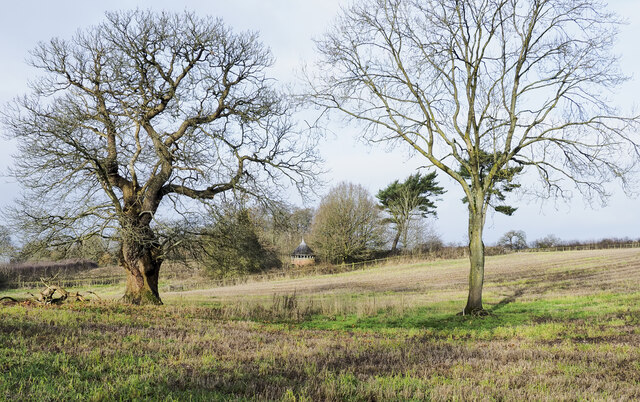
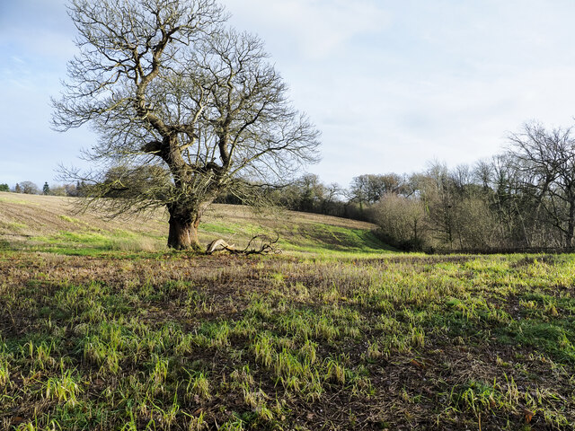
Jackson's Coppice is a picturesque woodland located in Staffordshire, England. It spans across a vast area, approximately 200 acres, and is known for its diverse ecosystem and stunning natural beauty. The coppice is situated near the town of Cannock, making it easily accessible for visitors.

The woodland is characterized by a mixture of broadleaf and coniferous trees, including oak, birch, pine, and spruce. These trees provide a dense canopy that filters sunlight, creating a cool and tranquil atmosphere within the coppice. The forest floor is covered with a rich carpet of moss, ferns, and wildflowers, adding to the enchanting ambiance.

Jackson's Coppice is home to a wide range of wildlife, making it a popular destination for nature enthusiasts. Visitors may spot various bird species, such as woodpeckers, owls, and finches, as well as small mammals like squirrels, rabbits, and foxes. The woodland is also known for its diverse insect population, including butterflies and dragonflies, which adds to its ecological value.

The coppice offers numerous walking trails, allowing visitors to explore its beauty at their own pace. These well-maintained paths wind through the woodland, offering glimpses of its hidden treasures, such as a serene pond and a babbling brook. In addition to walking, the woodland is also a great place for picnicking, photography, and nature study.

Overall, Jackson's Coppice is a remarkable woodland that provides a peaceful retreat from the hustle and bustle of everyday life. Its combination of lush vegetation, wildlife, and natural features make it a true gem in the heart of Staffordshire.

If you have any feedback on the listing, please let us know in the comments section below.

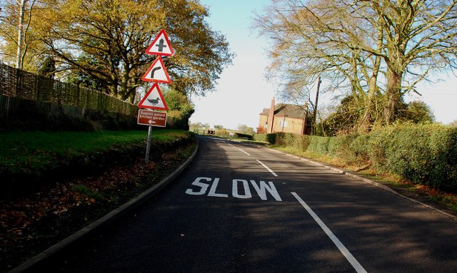
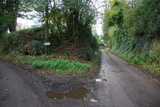
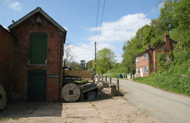
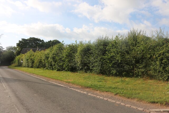
Jackson's Coppice Images

Images are sourced within 2km of 52.867619/-2.3181674 or Grid Reference SJ7830. Thanks to Geograph Open Source API. All images are credited.

Entering the small Hamlet of Sugnall The sign is showing the Sugnall walled kitchen garden to the left, which is part of the Sugnall Hall Estate.  see<span class="nowrap"><a title="http://www.sugnall.co.uk/history.html" rel="nofollow ugc noopener" href="http://www.sugnall.co.uk/history.html">Link</a><img style="margin-left:2px;" alt="External link" title="External link - shift click to open in new window" src="https://s1.geograph.org.uk/img/external.png" width="10" height="10"/></span>
Entering the small Hamlet of Sugnall
The sign is showing the Sugnall walled kitchen garden to the left, which is part of the Sugnall Hall Estate. seeLinkExternal link
Derelict Red Brick Stables at Sugnall
Pasture to the left of Sugnall Hall The main Hall is on the opposite side of the B5026 to the Walled Garden.  see<span class="nowrap"><a title="http://www.sugnall.co.uk/history.html" rel="nofollow ugc noopener" href="http://www.sugnall.co.uk/history.html">Link</a><img style="margin-left:2px;" alt="External link" title="External link - shift click to open in new window" src="https://s1.geograph.org.uk/img/external.png" width="10" height="10"/></span>
Pasture to the left of Sugnall Hall
The main Hall is on the opposite side of the B5026 to the Walled Garden. seeLinkExternal link
Outbuildings for Sugnall Hall
The B5026 on its way to Sugnall
Storage Yard for Farm Implements in Croxton
Side Streets in Croxton The lane straight on rejoins the B5026 just outside the village, the lane to the left goes to Woodwall Green.
Side Streets in Croxton
The lane straight on rejoins the B5026 just outside the village, the lane to the left goes to Woodwall Green.
Rowley House Farm This is a wonderful old red brick barn, that has had quite a few alterations done to it over the years.
Rowley House Farm
This is a wonderful old red brick barn, that has had quite a few alterations done to it over the years.
Road from Woodwall Green to Croxton
House on the crossroads in Croxton
Offley Brook Mill A commercially working watermill with two wheels and an auxiliary diesel alternator set. The mill house is opposite. This is a very rural location.
Offley Brook Mill
A commercially working watermill with two wheels and an auxiliary diesel alternator set. The mill house is opposite. This is a very rural location.
Old house on the corner of Chester Road, Sugnall
Farm equipment by Eccleshall Road, Croxton
Eccleshall Road, Croxton
Junction on Eccleshall Road, Croxton Looking towards Windmill Lane.
Junction on Eccleshall Road, Croxton
Looking towards Windmill Lane.
Small building at Sugnall Park Sugnall Park is an area of land below the farm at Sugnall and north of the lake at Cop Mere. The building resembles a turret and is fenced around within an area of woodland.
Small building at Sugnall Park
Sugnall Park is an area of land below the farm at Sugnall and north of the lake at Cop Mere. The building resembles a turret and is fenced around within an area of woodland.
Rutted mud of farm road The road, also the route of a bridleway, is descending to the west from a bend close to the local high point where there's the trig point known to the OS as Croxton.
Rutted mud of farm road
The road, also the route of a bridleway, is descending to the west from a bend close to the local high point where there's the trig point known to the OS as Croxton.
Land with lone tree in Sugnall Park Sugnall Park is an area of land below the farm at Sugnall and north of the lake at Cop Mere.
The land has held a crop recently, probably of maize.
Land with lone tree in Sugnall Park
Sugnall Park is an area of land below the farm at Sugnall and north of the lake at Cop Mere. The land has held a crop recently, probably of maize.
Show me another place!

Jackson's Coppice is located at Grid Ref: SJ7830 (Lat: 52.867619, Lng: -2.3181674)

Administrative County: Staffordshire

District: Stafford

Police Authority: Staffordshire

What 3 Words

///pouch.unrated.homecare. Near Eccleshall, Staffordshire

Nearby Locations

Jackson's Coppice

Related Wikis

Jackson's Coppice and Marsh

Jackson's Coppice and Marsh is a nature reserve of the Staffordshire Wildlife Trust. It is along the River Sow, near the village of Bishop's Offley and...

Offleyhay

Offleyhay is a village in Staffordshire, England. The population as taken at the 2011 census can be found under Eccleshall. == References ==

Cop Mere

Cop Mere is one of the largest natural bodies of water in Staffordshire, England, covering 42 acres (17 ha). It has been designated a SSSI as an oligotrophic...

Outlands, Staffordshire

Outlands is a hamlet in the English county of Staffordshire. It lies 1 km eas of Bishop's Offley. == External links == Map sources for Outlands, Staffordshire

Croxton, Staffordshire

Croxton is a village on the B5026 between Eccleshall and Loggerheads. Population details for the 2011 census can be found under Eccleshall. It is notable...

Armsdale

Armsdale is a village in Staffordshire, England. Population details for the 2011 census can be found under Eccleshall.

Copmere End

Copmere End is a small settlement in Staffordshire, England. It is 2 kilometres (1 mi) west of Eccleshall where the population taken for the 2011 census...

Eccleshall F.C.

Eccleshall Football Club is a football club based in Eccleshall, Staffordshire, England. They are currently members of the North West Counties League Division...

Related Videos

Eccleshall Vs Barnton, confrontation and 2 red cards

confrontation amongst the players before 2 red cards come out in Eccleshall's 2-1 win over Barnton.

Holly & Paul | Sugnall Walled Gardens, Staffordshire wedding

Sugnall Walled Gardens wedding Vision Wave Weddings is a wedding video company based in Congleton, Cheshire. Perfectly ...

Nearby Amenities

Located within 500m of 52.867619,-2.3181674
Bus Stop
Offley Rock
Bus: yes
Naptan AtcoCode: 3800C720100
Naptan Bearing: W
Naptan CommonName: Offley Rock
Naptan Indicator: Adj
Naptan Landmark: Offley Rock
Naptan Street: Main Rd
Naptan Verified: no
Public Transport: platform
Source: naptan_import
Lat/Long: 52.8642253/-2.3182082
Bus Stop
Offley Rock
Bus: yes
Naptan AtcoCode: 3800C720101
Naptan Bearing: E
Naptan BusStopType: CUS
Naptan CommonName: Offley Rock
Naptan Indicator: Opp
Naptan Landmark: Offley Rock
Naptan Street: Main Rd
Naptan Verified: no
Public Transport: platform
Source: naptan_import
Lat/Long: 52.8643337/-2.318001
Source: survey
Lat/Long: 52.8693637/-2.3247216
Barrier: stile
Lat/Long: 52.8643065/-2.3174997
Barrier: stile
Lat/Long: 52.8646735/-2.3178226
Barrier: kissing_gate
Lat/Long: 52.866781/-2.3184883
Barrier: kissing_gate
Bicycle: no
Foot: yes
Horse: no
Motor Vehicle: no
Lat/Long: 52.8674298/-2.3194526
Power: pole
Lat/Long: 52.8713544/-2.315791
Power: pole
Lat/Long: 52.8704097/-2.3144353
Power: pole
Lat/Long: 52.8696025/-2.3132799
Power: pole
Lat/Long: 52.8690222/-2.3125189
Power: pole
Lat/Long: 52.8683676/-2.3116223
Power: pole
Lat/Long: 52.8676831/-2.310738
Power: pole
Lat/Long: 52.8635818/-2.3154359
Power: pole
Lat/Long: 52.8641065/-2.3159509
The data included in this document is from www.openstreetmap.org. The data is made available under ODbL.

Have you been to Jackson's Coppice?

Leave your review of Jackson's Coppice below (or comments, questions and feedback).